We woke up a bit early to get a nice start on the packed day seeing Olympic National Park. Tossed open the curtains and… fog. Lots and lots of fog. So we took our time eating breakfast, packing up, and I spent some time picking out and adding pictures to the prior day’s blog about Mount Rainier National Park.
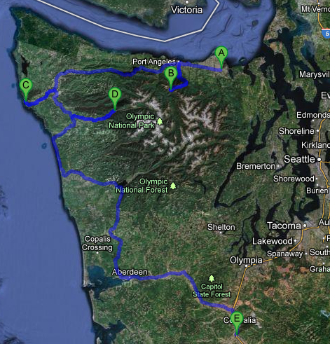
Headed out a bit after breakfast and visited the Hurricane Ridge visitor center in Port Angeles. Not a whole lot there, really, other than a cool stuffed Roosevelt Elk. And, of course, our customary magnet. The trip up to Hurricane Ridge was eighteen miles or so and had its steep moments as well as a fair number of curves and switchbacks. Along the way a few good views back at the Strait of Juan de Fuca as well as up at the snow-capped Olympic mountains were to be had, as well as a small falls. We passed quite a few bikers making the ascent too. Considering it is just over 5,000 feet I’m amazed they can do it. More power to ’em!
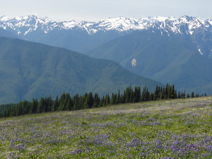
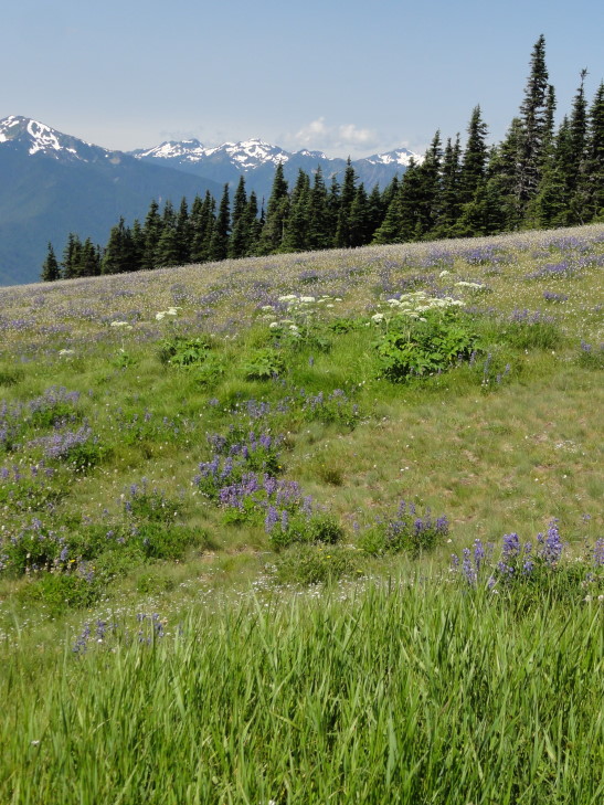
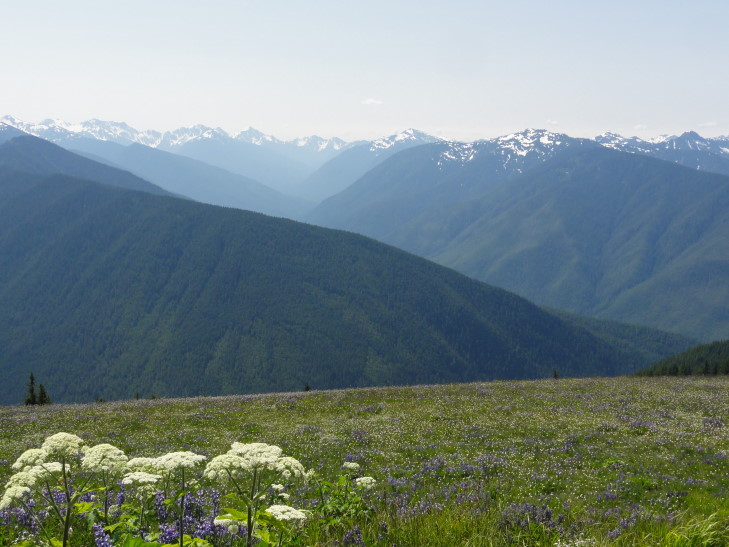
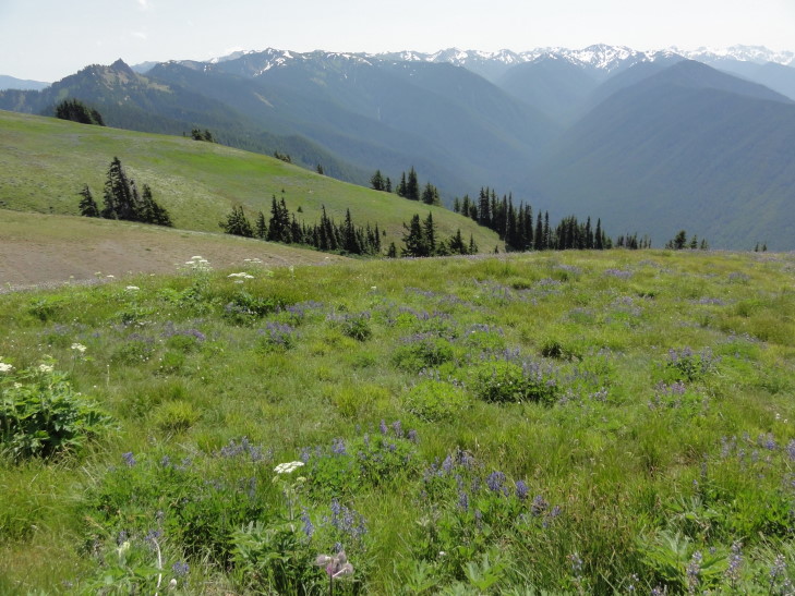
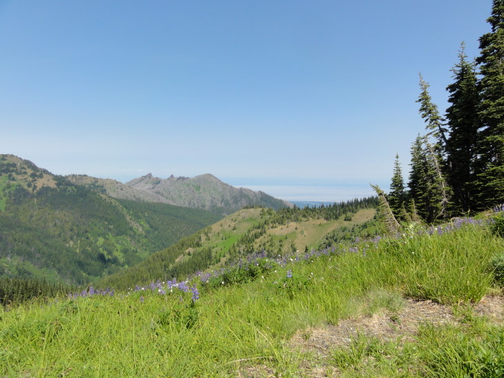
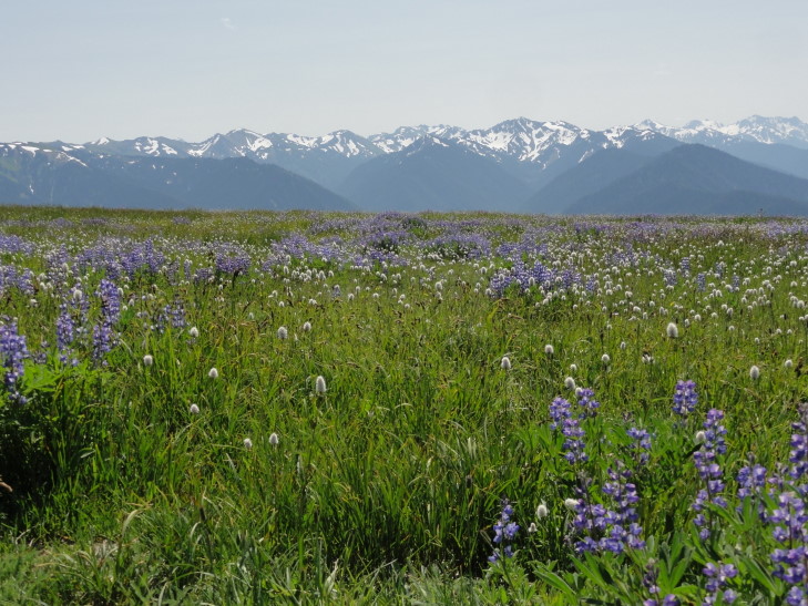
Shortly after entering the sub-alpine layer where far fewer trees (and shorter ones, at that) were found we reached the end of the road at the Hurricane Ridge visitor center. WOW, what a view. Basically an unbroken line of the highest of the Olympic peaks (ranging from 7,000 to 8,000 feet) to the south, covered in snow and even a few glaciers. In between the ridge and the peaks were stands of evergreens surrounded by gorgeous wildflower meadows as well as a few heavily wooded ridges.
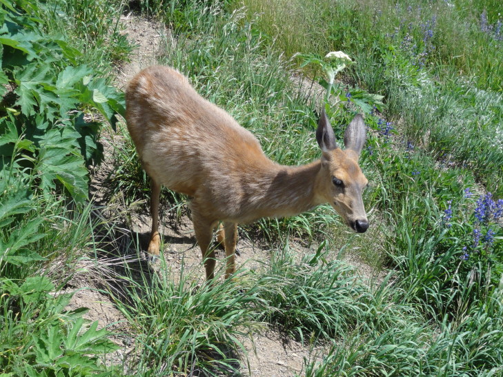
In the meadows we saw several deer, including one nestled in the grass that appeared to be sleeping. A chipmunk also approached a group unbeknownst to them and caused a bit of alarm when they realized what was climbing on their shoe!
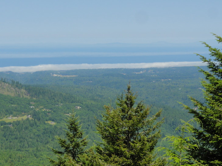
We took a short walk on the other side of the ridge, the side facing north. Not only did we see many beautiful wildflowers but also had a spectacular view of the Strait as well as across to Vancouver Island, British Columbia and even could (barely) see Glacier Peak many, many miles away. In addition we could see the fog bank still clinging to the coast of the peninsula. While taking a detour on another trail (because the one we had intended to take still had a major snowbank blocking it) Addison spied a deer in the woods not more than five or six feet away, almost perfectly blending in.
I was blown away by Hurricane Ridge. It was quite different from Mount Rainier’s Paradise vantage point in that the snow-capped mountains were separated from the ridge by a sizable valley rather than being directly on the flank. It, more than anything I’ve seen to date, reminded me of Switzerland. The weather was wonderful too, low 60s and a slight breeze, sunny with just a few clouds (which are actually welcomed — they make photography much easier).
We stopped by the visitor center and let the kids buy one thing each before reluctantly heading back down to Port Angeles. Along the way we stopped at two vantage points. One pointed out that some of the mountains were actually volcanic in nature despite there being no volcanoes on the peninsula. They were actually much older and formed on the sea floor and were later pushed up and mingled with the rest of the Olympic mountains.
The other was a great vantage point overlooking the Strait and explained that the northeast part of the peninsula was actually in a rain shadow and only received 20 inches of rain a year (far less than even Raleigh, North Carolina receives). Meanwhile just forty miles west the western slopes of the Olympic mountains get upwards of 180 inches! This explained why Sequim was celebrating “Irrigation Days” as they depend on irrigation. The fog bank that had afflicted Sequim was also visible just a tiny bit offshore.
Once back in Port Angeles we looked for something to eat as it was 2 o’clock already. We decided it needed to be something fast food-ish so that we could eat in the car as the late start was costing us dear. After a false start exiting the town we returned and picked up some McDonalds. Finally fed we headed out towards the west on route 101. We passed a few signs protesting any expansion of federal land as “working woods = working families.”
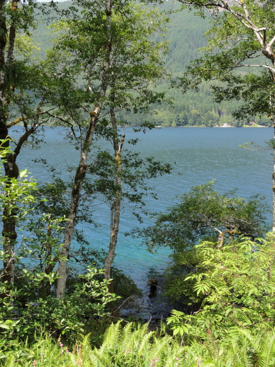
Route 101 led directly past Crescent Lake, a beautiful lake in the northern part of the park. Quite long, it was remarkable for the very clear blue water, water that appeared even turquoise in the shallows. I got a few pictures but they don’t do it justice.
Just before the town of Forks we peeled off on 110 towards Rialto Beach near La Push. We saw an odd sign at the entrance to the Indian Reservation stating that there were no Vampires there. That was a real head-scratcher for a bit…
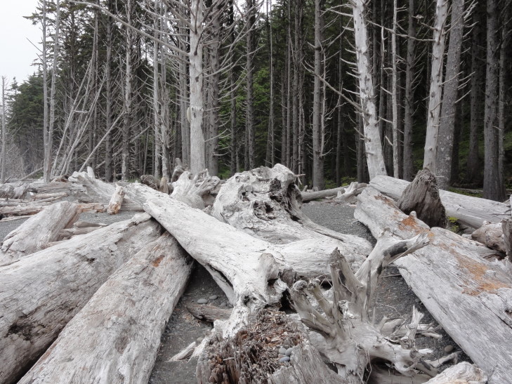
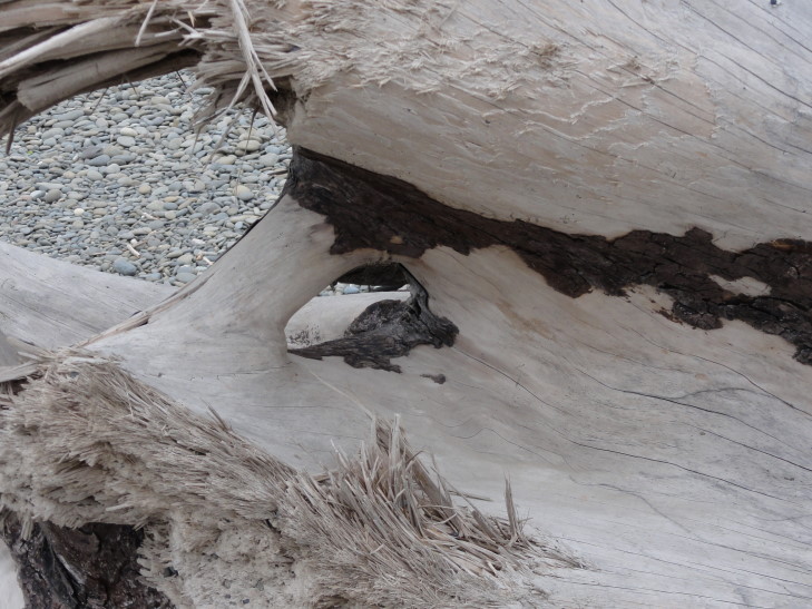
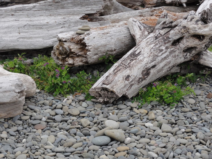
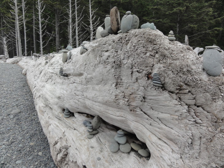
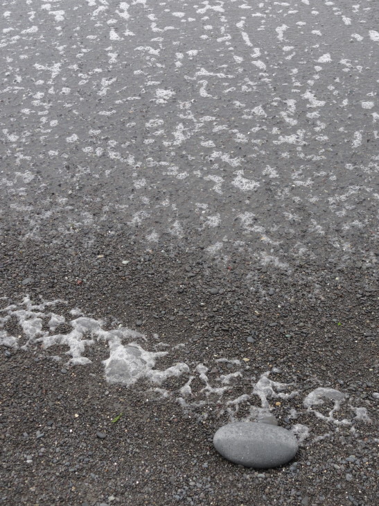
La Push and Rialto beach lies at the discharge point of three rivers that flow from the Olympic mountains. These rivers bring massive amounts of tree debris downstream and deposit them on the beach. I’ve never seen so much driftwood. I know my parents (particularly Dad) would be in heaven. The driftwood littered the beach. The beach was also remarkable for having lots and lots of smooth pebbles, many of which beachgoers had stacked into little cairns on top of the driftwood.
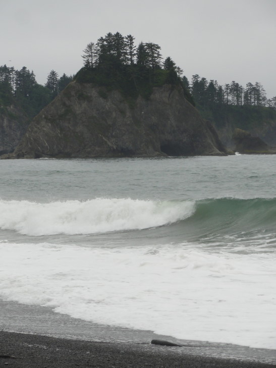
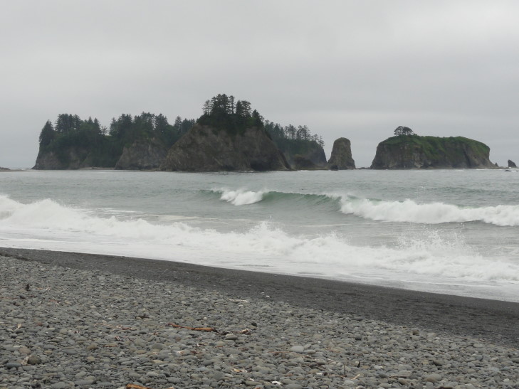
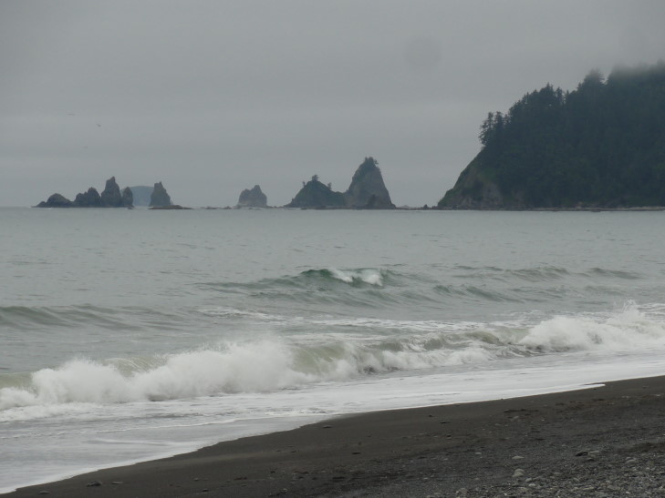
But that’s not all! Just off the beach were a number of tree-topped sea stacks. With the fog clinging to the surrounding hills (in fact, the temperature at the beach was 55 — contrast that with the 75 we had inland with no fog nor sea breeze), the angry gray sea, and the silhouettes of the sea stacks it was quite an ominous — and exciting — landscape.
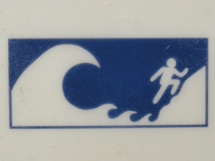
Addison spent some time looking for sharks’ teeth to no avail. I took lots and lots of photos. Genetta and Michelle walked a bit then sat on a large piece of driftwood and watched us. As it was getting late (now past 4 o’clock) we decided to head back to the car. Along the way I read about tsunamis and got a picture of their amusing (to me) tsunami escape iconography.
Headed back to route 101 and passed through the small town of Forks. Again, stores and signs everywhere referencing Vampires and Twilight, even “Twilight Firewood” haha. Turns out that Forks is the main setting in the Twilight series of books (though not filmed there). Continuing on we turned onto the Upper Hoh River Road.
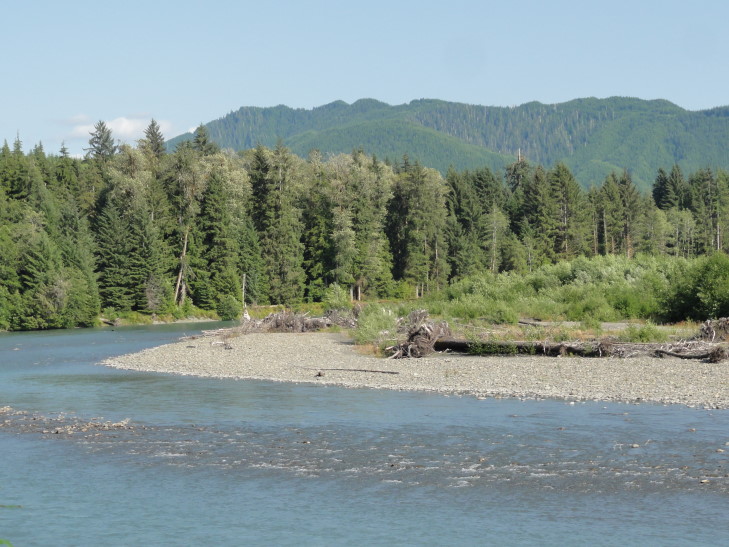
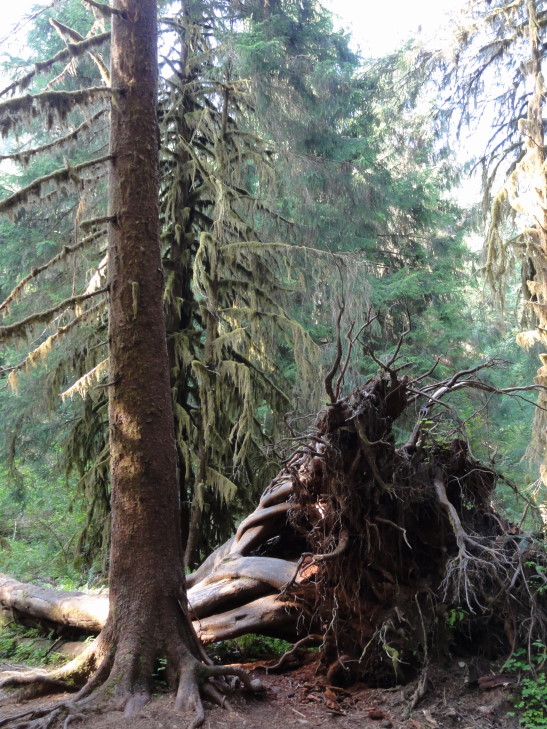
The road roughly followed the very pretty Hoh river, a river bluish-white with runoff from the mountains. There were also scads of really tall trees, some with immense trunks, and all moss covered. This part of the peninsula received two hundred or so inches or so a year and as a result was one of the few temperate rain forests in the world.
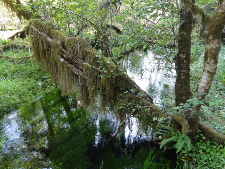
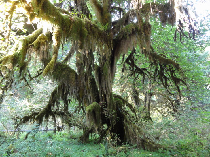
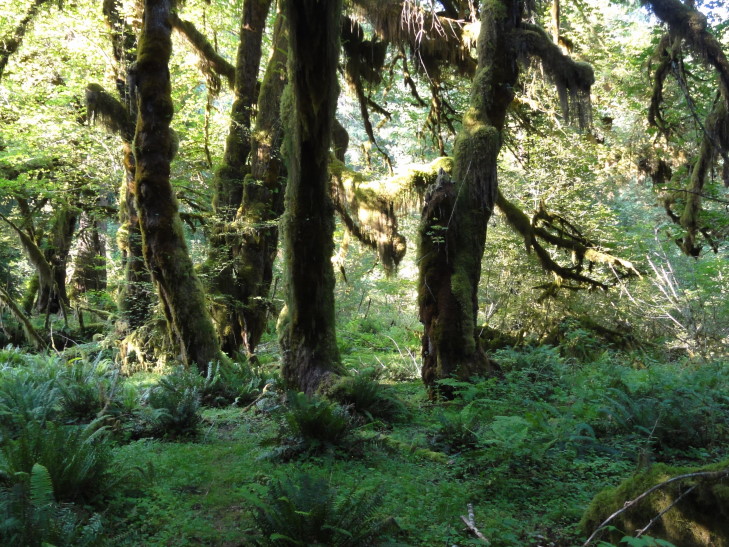
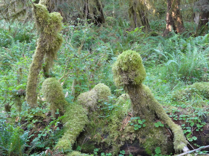
The visitor center was closed, unfortunately, but we were able to hike the Hall of Mosses trail, a pretty easy mile-long or so with light elevation changes. It first crossed a pretty stagnant creek then rose in elevation a bit and passed out of the immediate Hoh River floodplain and into woods that had not been touched in thousands of years. There was a stand of maples that dripped with moss, many ferns, and amazingly thick and tall fir trees, some nearly 300 feet tall. The only downside was that we were wearing shorts and there were so many mosquitoes I thought I was in Louisiana. It was difficult to take pictures as within seconds my legs were covered with them. We also had a slight moment of panic when we thought we had walked a bit too far and must’ve wandered on to another set of trails (some of which go nearly twenty miles!). Luckily about then we emerged back at the start of the loop.
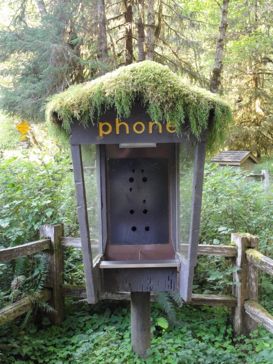
At the visitor center there was also a no longer used phone booth with moss on top. I just had to take a picture. The only thing that would make it better if there were a bright red and blue garden gnome standing in it. I bet it’d make a swell house for them!
Now nearly 7 o’clock with a fair bit of driving ahead we made a beeline for our hotel near Centralia. Route 101 paralleled the shore a bit allowing for some nice views. We stopped for dinner in Aberdeen at a Mexican restaurant called Mazatlan around 9 o’clock. It was decent, but a bit different (more chile-based) than our normal haunts. Finally just before 11 o’clock we arrived at our hotel and the rest of the family went to bed as I started working on the blog.
