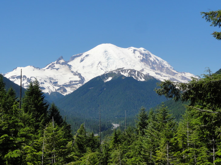
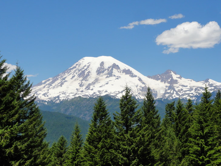
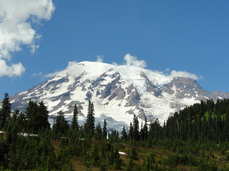
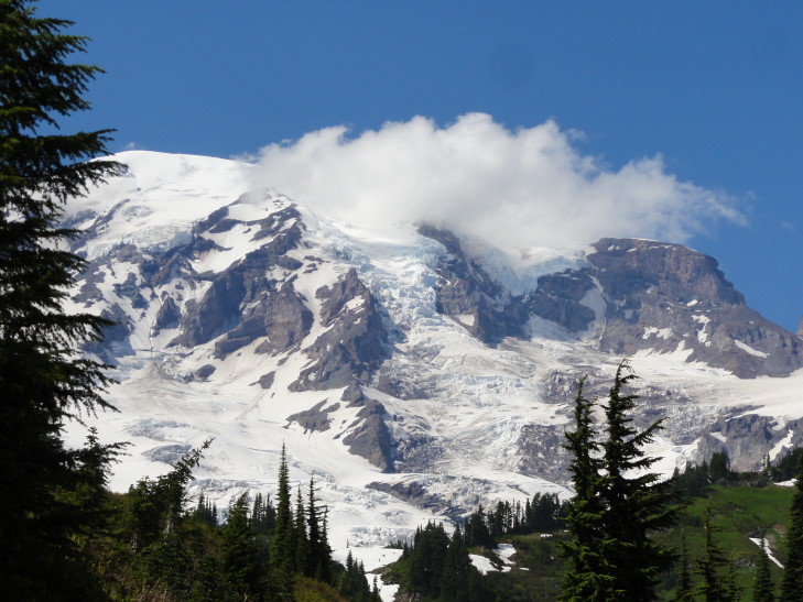
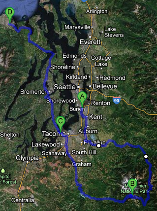
Woke up fairly early, checked out of our hotel, and headed towards Mount Rainier National Park. Snagged a quick breakfast from McDonalds along the way then took route 410 along the northern then eastern border of the park. There were many beautiful views of Mount Rainier along the way as well as just very pretty rugged terrain blanketed in evergreens. I really like the trees here and will definitely miss them when we get back home.
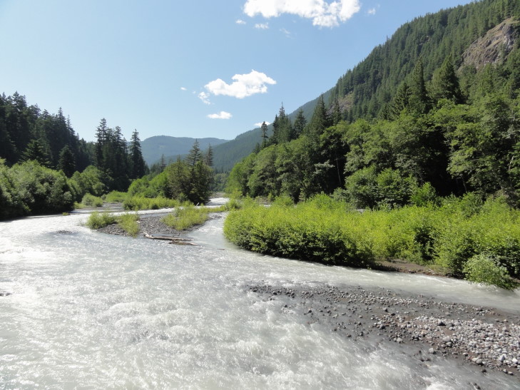
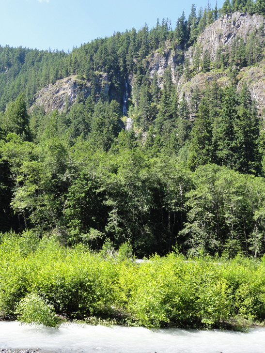
Along 410 we stopped at several vantage points. The river that ran alongside some of the route was chalky white and named, appropriately enough, White River. It turned out that was due to the finely ground pieces of rock from the glaciers (twenty six of them!) atop Mount Rainier. We also saw beautiful Skookum Falls emptying from the cliff above into the river.
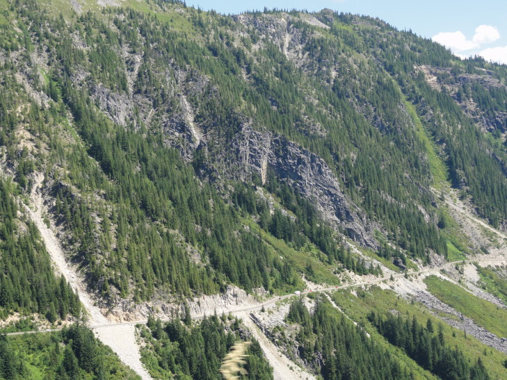
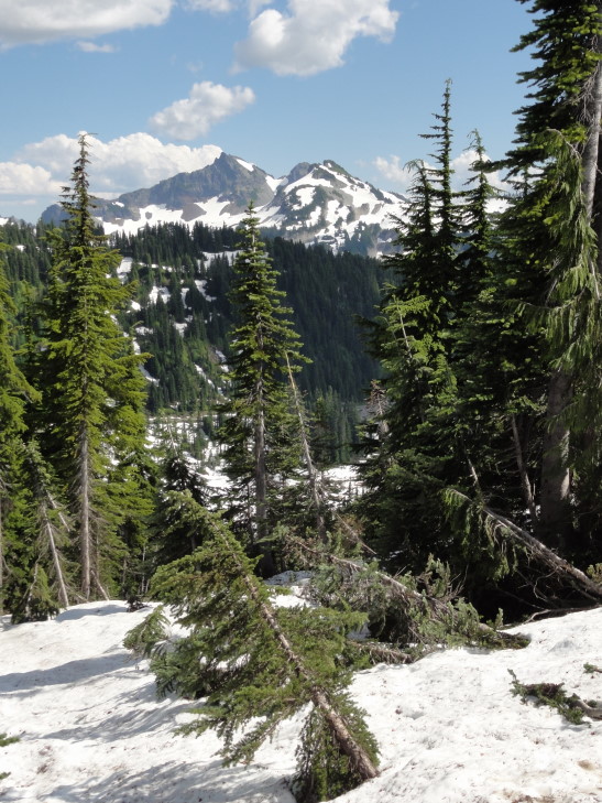
Next we took route 123 briefly before entering the park officially right after turning onto Stevens Canyon Road. Here the forest was much older (being protected as part of the park) and the road quickly became steeper with switchbacks as we ascended the southeast flank of Mount Rainier. We were treated to beautiful views of the peaks of the Tatoosh range, a range just south of Rainier running at about 6,000 to 7,000 feet and containing Unicorn Peak, Pinnacle Peak, and The Castle, among others. The peaks were very jagged and didn’t have a lot of snow left.
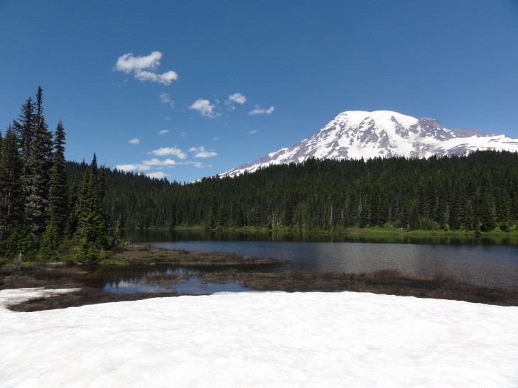
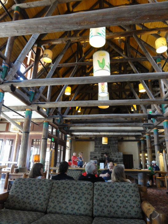
After several more stops, including a visit to a remarkably clean port-o-potty and the beautiful Reflection Lakes (which weren’t too keen on reflecting that day, but did have some ice still), we finally arrived at Paradise, the closest that we can get to Mount Rainier via driving. There was a new visitor center (opened in 2008), a guide building for climbing information, a ranger post (now closed to visitors), and the Paradise Inn, a lodge built in 1916 (without using a single nail, if they are to be believed!).
We first headed to the lodge to get some lunch. The interior was a lot simpler than the lodge in Yellowstone that we saw back in 2010. The food was good, if a bit expensive — Michelle and Addison had burgers, Genetta a chicken sandwich, and myself some macaroni and cheese which had an awesome additional wedge of very flavorful cheese in it. Michelle and Genetta had some kind of chocolate mousse-like cake and I had blackberry pie a la mode to top it off. Very yummy. We learned too that the staff all stayed on site, which makes sense given the distances involved. Michelle found a nice magnet in their gift shop.
The visitor center was nice and contained some exhibits on the second floor. We learned that the Tatoosh range was actually much older than Mount Rainier and that, on average, Paradise receives just over 700″ of snow a year, with a record 1122″ (almost one hundred feet!) being dumped on them in the winter of 1972. The visitor center occupied the site of an older building that was demolished in the 1950s for more parking. Before building the new center the park service performed some archaeology on the old ruins and also clearly marked where the old building stood.
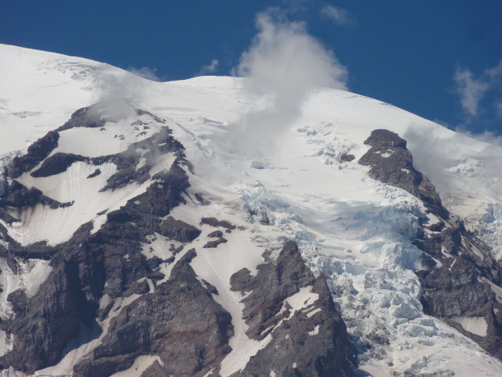
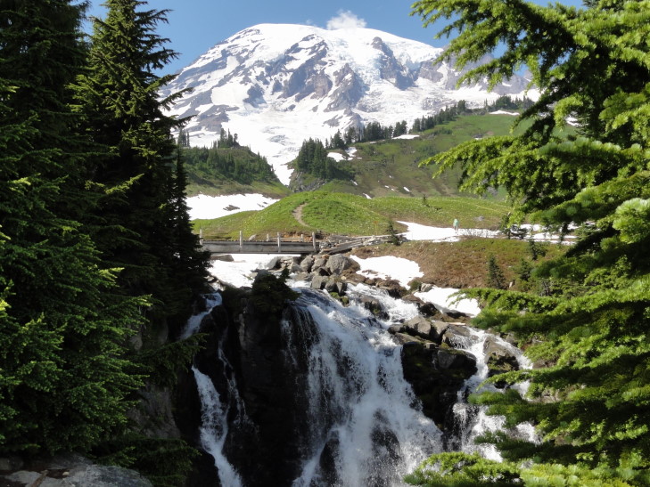
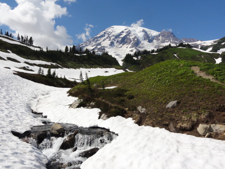
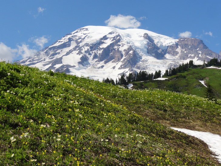
After talking with the ranger we decided to tackle the very short (one mile round-trip) hike to Myrtle Falls. Along the way were spectacular views of Mount Rainier (now with clouds starting to form along its face) as well as many wildflower fields and small stands of squat, thick evergreens. Snowfields still dotted the slopes even at Paradise’s altitude (about 5,500 feet) and we’d occasionally have to be careful walking on them. Once we got to the falls Addison and I went down a short but steep path to the viewpoint that perfectly framed the falls with Mount Rainier in the background. Amazing!

Tatoosh Range (The Castle on the left, Pinnacle Peak on the right) as seen from the trail to Myrtle Falls
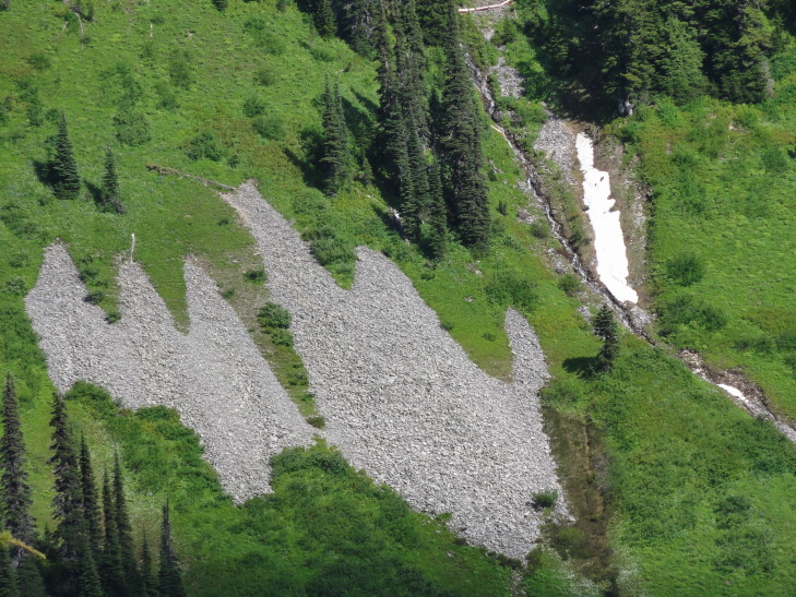
On the way back Genetta and I took pictures of each other in front of the summit as well as of wildflowers and other things. A couple of rockfalls below Pinnacle Peak (of the Tatoosh Range) looked like ghosts and she couldn’t resist taking pictures.
Also in front of the visitor center was a roped off area that preserved some of the wildflowers. We learned about the glacier lily, a flower that sprouts under several feet of snow and uses starch to generate heat and melt the snow above so that it can emerge. Nature never ceases to amaze.
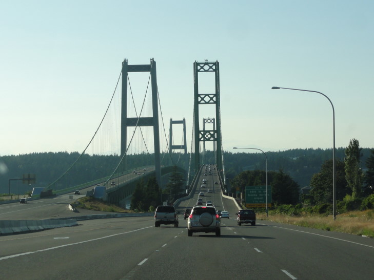
As it was getting quite late we headed out past Longmire and onto route 7 exiting the park. We stopped along the way at a Verizon store to get a car charger for our phone as our old one got lost prior to the trip. Near Tacoma we got on interstate 5 then route 16 and went over the Tacoma Narrows bridge, famous for its 1940 incarnation collapsing when the winds caused a harmonic wave effect or some such (do I look like a physicist?!). Amazingly no people died, though a brown cocker spaniel named Tubby did. A rescue was attempted but the dog in its panic bit a would-be rescuer and made rescue impossible. The driver was compensated for his car (which was never recovered) as well as the contents of the car including Tubby. It would be ten years before the bridge was replaced due to World War II.
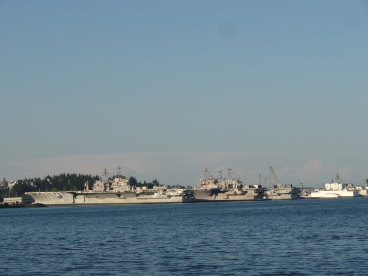
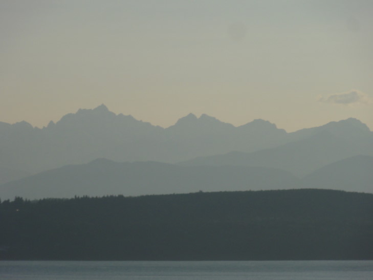
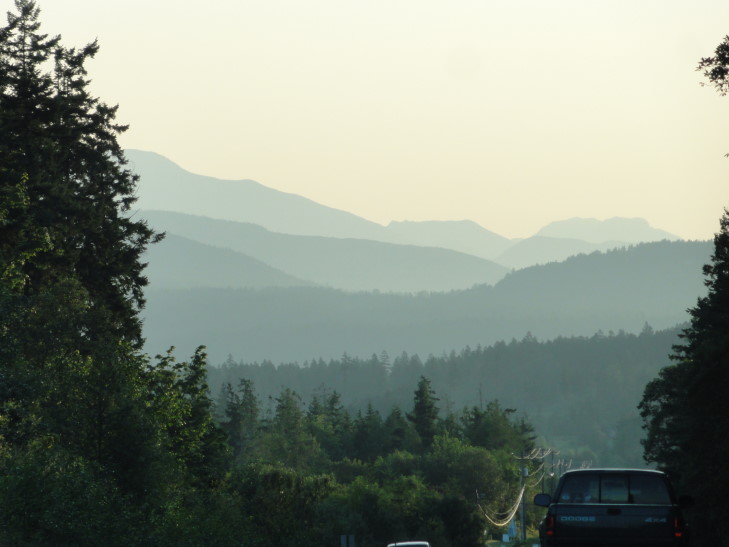
The countryside along 16 up through Bremerton and the Kitsap peninsula was quite pretty. We snaked around several inlets and even saw a number of very large navy ships (some even looked like light carriers) in a navy yard. We crossed over a draw bridge and onto the Olympic peninsula where the terrain was even more rugged. This honestly surprised me as I imagined the peaks, despite their 8,000 foot height, would be much more eroded. Also of interest were Elk Crossing signs and a reminder sign that the area required headlights always be used, at every hour.
Update: A reader pointed out that those were not light carriers but full carriers that are often brought to the yard to be stripped on retirement. They then are not sold for scrap but often instead used as target practice at sea and sunk.
After passing through Discovery Bay we made it to our home for the night, the Holiday Inn Express in Sequim. We walked to the adjacent Black Bear Cafe and had a pretty decent meal before heading back and turning in. Exhausted from the previous night and the day’s travel sorting through hundreds of photos proved very, very daunting. Particularly since it is almost impossible (almost being the key word, I succeeded a few times) to take a bad picture of Mount Rainier.
