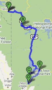
We awoke fairly early (for us) and ate breakfast at Ernie’s, that deli we ate lunch at the day before. The food was quite good and we also ordered four bag lunches for the day ahead. Set out for Grand Teton National Park by entering Yellowstone.
Unfortunately there is no easier way to get to Grand Teton from West Yellowstone. We chose the wrong entrance line to queue up for (we have a knack for it) and got stuck behind every yahoo that wanted to use a credit card to pay the entrance fee. We also encountered several delays due to people stopping to watch elk. While we had already ridden the stretch between West Yellowstone and West Thumb Geyser Basin we had not taken the road leading to the south entrance of Yellowstone, so at least we got to enjoy some new vistas. The Lewis River canyon, Lewis Lake, and some low-lying marsh were interesting but sadly yielded no moose sightings. I’ve been obsessed with seeing a moose since coming up empty-handed in Maine in 2007.
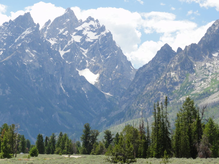
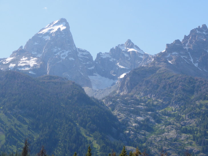
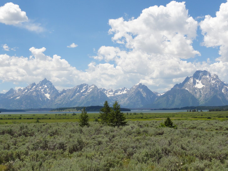
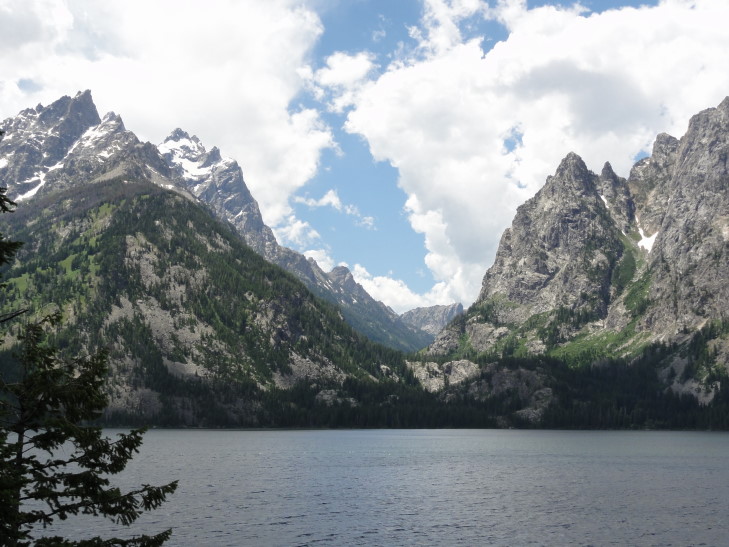
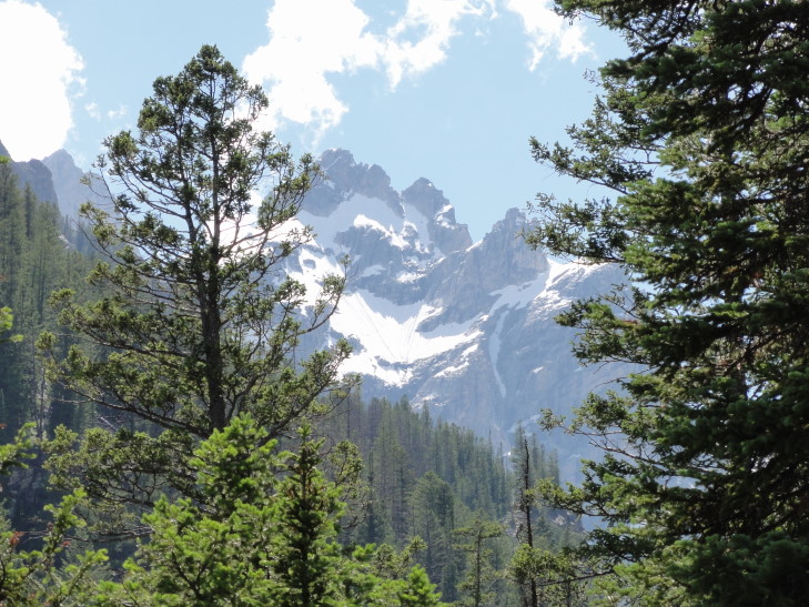
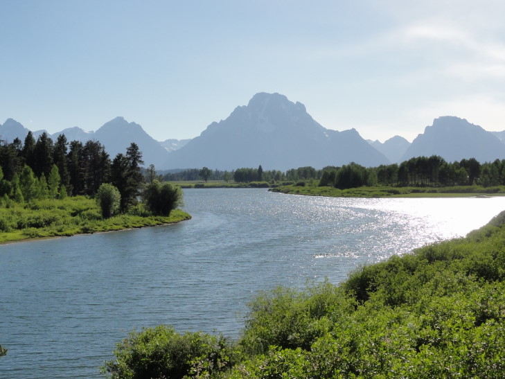
So, after more than an hour in Yellowstone we finally left the south entrance and, after a small stretch in a National Forest, entered the north entrance of Grand Teton. A few miles in we got our first view of the Tetons. WOW. Following in this blog will be many pictures of them but I’ll come out and say it — there is no way my photos and no way in heck my words can possibly describe them adequately. The only similar mountains I had seen were in the Swiss Alps back in 1988. What makes them so unique is that you have a flat valley that, on its western edge, gives way to beautiful clear lakes. Then, on the other side of the lake the mountains rise straight up from lake level of about 7,000 feet to their height of 13,000+ feet (Grand Teton is 13,770 feet). No foothills what-so-ever. Also due to the dozen glaciers in the Tetons there is plenty of snow / ice cover on the top.
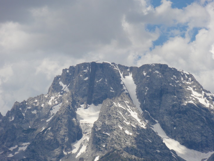
The Tetons have a fascinating geological history. The area was (relatively) flat nine million years ago. The west side of a 40 mile long fault rose 6,000 feet and the east side sank 24,000 feet (yeah, this surprised me too). Over time some of the west side eroded into the valley to the east and several glacial periods greatly aided in that process. On top of Mount Moran there is a basalt intrusion named the Black Dike that corresponds to similar rock 24,000 feet below the current Jackson Hole (the valley to the east) floor. Mount Moran is also home to five of the dozen glaciers in Grand Teton. Grand Teton itself, along with some of the surrounding mountains, has a classic horn shape. Grand Teton also has a glacier that flows (not advances, however) thirty feet a year.
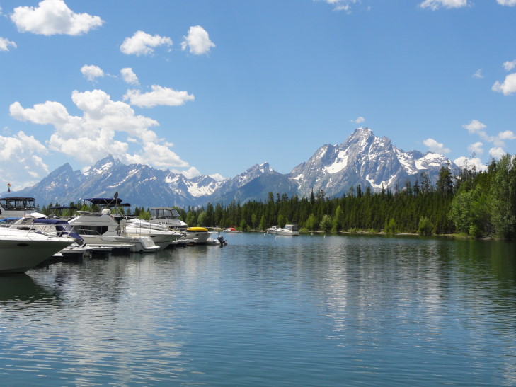
We first drove along Jackson Lake and stopped at the visitor center to get our bearings. We learned that the one hour scenic cruise we had intended to take on Jenny Lake only ran once a day at 6 PM and required reservations so that was out of the question (for both reasons). The quick shuttle across Jenny Lake, however, required no reservations so we aimed for doing that. Behind the visitor center were some nice views of the Tetons towering over Jackson Lake that I took delight in photographing.
We stopped at several turnouts for photographs on the way to Jenny Lake. One was particularly beautiful — a small dirt trail led down to a lowland with the ever present Tetons beyond. As Grand Teton is far less visited than Yellowstone it was possible to listen to the wind blowing through the shrubs and distant bird calls and just enjoy the amazing vista. Unfortunately Addison slipped while coming to meet me and really banged up his knees. A fire in the area a few days before closed the fifth one I wanted to visit — lucky for Michelle, who had long since tired of the constant stopping (but unlucky for the forty acres it burned, I suppose).
Finally arrived at Jenny Lake which was more crowded than I expected and had very few picnic tables. A friendly Ranger, however, pointed us to a little used trail that had two tables, one of which was not being used. We ate our Ernie’s lunch under the shadow of Grand Teton and soaked in the cool Wyoming breeze.
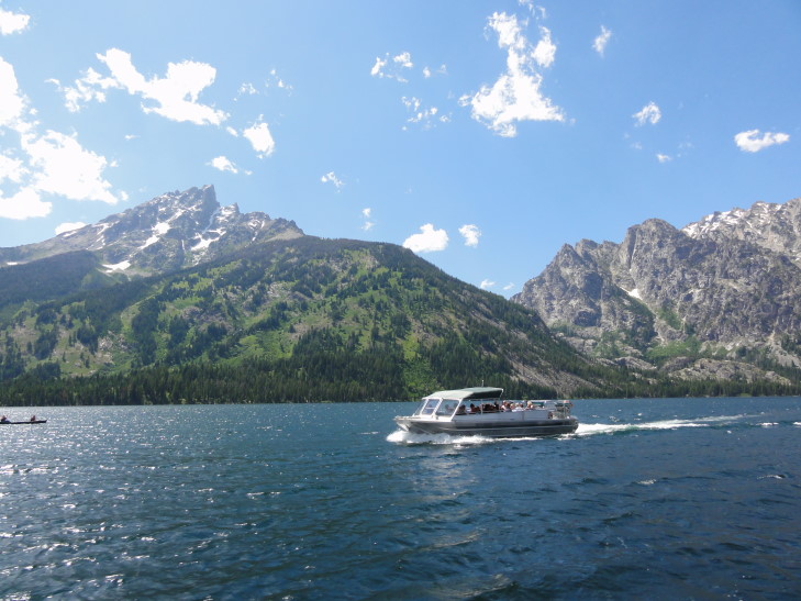
After making sure that we didn’t leave any food or wrappers lying around to attract bears we headed to the boat dock and took the short (10 minute) shuttle over to the Hidden Falls and Cascade Canyon trail head on the west side of the lake. The lake water is so amazingly clear and we could see many small trout swimming about. The shuttle itself was a twin-engine powered pontoon boat. Due to the wind we got a bit of spray but nothing too bad.
The original intent was to just ride the shuttle back. The words “Hidden Falls” intrigued me, however, and I convinced / cajoled / conned the family into taking the .5 mile hike (each way) to see them. The trail was a bit rough — lots of roots and boulders to scramble over. There is also no way it was only .5 miles. I was certain at one point that we had somehow missed the falls altogether and were nearly to Inspiration Point, the next stop on the trail. Michelle and Genetta ended up turning back at what turns out to be shortly before the falls but Addison and I carried on.
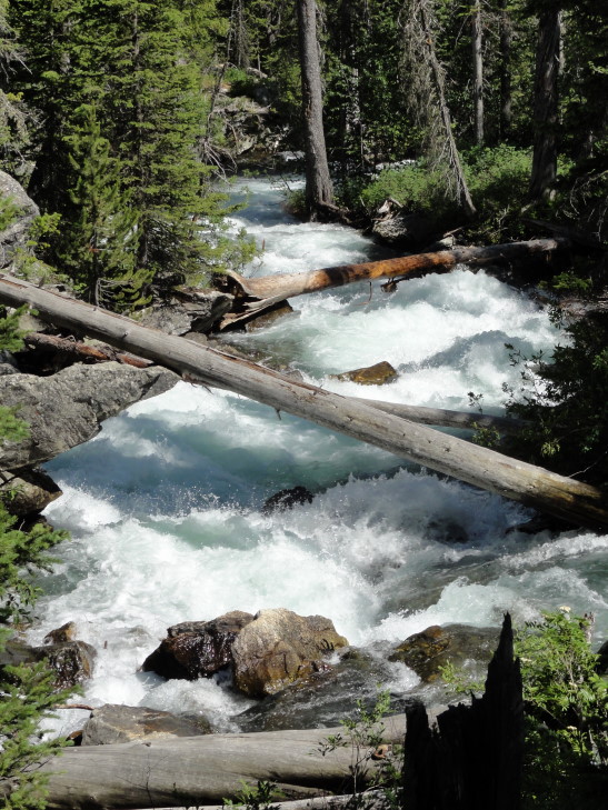
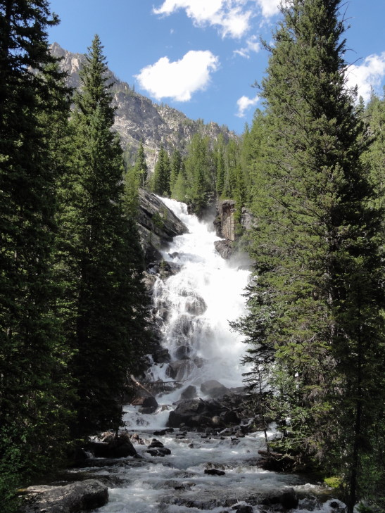
While the cascading rapids below the falls and all the way to the lake had been impressive the falls themselves definitely amazed, especially since they were backed by the mountains behind and their snow cover. We also saw some people climbing among the cliffs above. At first I thought it was the continuing trail to Inspiration Point (to which I said, forget us doing that nonsense!) but it was a group of rock climbing students. Met back up with the ladies and caught the shuttle back to Jenny Lake.
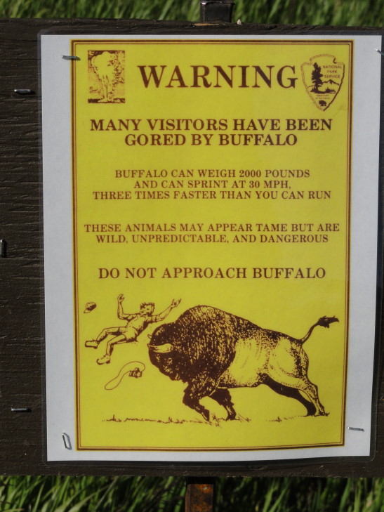
Drove further south to the town of Moose (and, no, still no dang moose sightings!) and caught the eastern road of the park back north. The scenery was very different from the western road in that it drove across sage brush-dotted prairie with the Snake River valley our constant companion to the west (and the Tetons beyond that). I particularly enjoyed a turnabout called Elk Flats Ranch which had a wonderful sign of a person being tossed in the air by a bison. In the picture of the sign below note two things: I wasn’t the basis for the claim that a bison running 30 MPH is three times faster than me as there is no way in heck I can run 10 MPH and also the poor tourist looks to have been gored in the butt. Ouch! No bison around, though, sadly. I rather like seeing them.
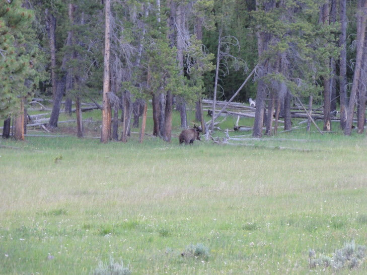
The eastern road merged with the western road right at Jackson Lake so we retraced our drive back to West Yellowstone, Montana through Yellowstone National Park. We encountered a “bear jam” — people clogging up the road trying to see a bear. It was a young grizzly, my fourth (well, if you count a fleeting sighting of a grizzly butt) of the trip. A fellow tourist was even kind enough to let Addison use his binoculars. One thing really annoyed, however — a tourist two cars in front of us actually stopped his car in the middle of the road and got out to take pictures along with his whole family. Nope, no pulling over. I couldn’t believe it. Wildlife makes people stupid. Or maybe makes already stupid people more stupid. I mean, it was like something out of a R.E.M. video.
Made it back to West Yellowstone fairly late and ate dinner at Chinatown, a Chinese restaurant. I had the pork with scallions and it was very tasty (and reasonably priced, especially for West Yellowstone).
As for this entry’s title a knowledge of how the Grand Tetons got their name and Monty Python and the Holy Grail is needed.
