BigWeather's Blog

July 25, 2010

Home again, home again, jiggety-jog

Filed under: Travel — Tags: — BigWeather @ 2:17 pm

Woke up at our customary 7 AM, packed, ate our free hotel breakfast, went back and relaxed until 10:30 AM or so.  We didn’t want to get to the airport too early.  Packed the car and returned it to the rental place with 15,823 miles on the odometer.  We started at 12,701 — a difference of 3,122 miles!  That is slightly longer than the trip from Boston to San Francisco which, according to Google maps, is 3,106 miles.  We visited seven states (in order of first visit: Colorado, Wyoming, Nebraska, South Dakota, Montana, Idaho, Utah) a pickup of six for Brian and seven for everyone else.  We visited twelve National Parks / Monuments / Historic Sites (Scotts Bluff NM, Chimney Rock NM, Wind Cave NP, Mount Rushmore NM, Badlands NP, Minuteman Missile NHS, Devils Tower NM, Yellowstone NP, Grand Teton NP, Craters of the Moon NM, Dinosaur NM, Rocky Mountain NP).  Non-National stops were Carhenge, Mammoth Site, Custer State Park, Deadwood, and Buffalo Bill Historic Center.  We stayed in nine hotels over the journey.

Got to the airport and went through security.  They do have a beautiful airport in Denver — three separate terminal concourses separated from the check-in / ticketing / baggage claim area, all linked by an underground train.  Above this open-air atrium with cool stonework and stuff they had suspended the first private jet to land at Denver International — the same jet that flew around the world in 49 hours.

Ate some McDonald’s (will be glad to take a break from them for a bit!) at the food court, Genetta had some pizza.  Hung out at the gate eating Skittles and playing Dragon Quest IX.  Hopped on the plane on time and the flight seemed to go very quickly (didn’t hurt that I had DQ9 keeping me busy too).  Landed in Raleigh 15 minutes ahead of time and scooped up the luggage while Michelle got the car from daily parking (Chad and Don had parked it there earlier in the day on their way to Myrtle Beach, thanks guys!).

It was hot, even at 9 PM.  Addison asked if we could get back on the plane and go back to Denver for another couple of months (though, to be fair, on Friday Denver was about 99F — though we did spend most of Friday at 12,000+ feet and 65F temperatures).  Stopped by Torerro’s on the way home for some Mexican before ending our trip.  Got home and played with the cats — they seemed happy to see us.

Michelle’s favorite sights:

Brian’s favorite sights:

Addison’s favorite sights:

Genetta’s favorite sights:

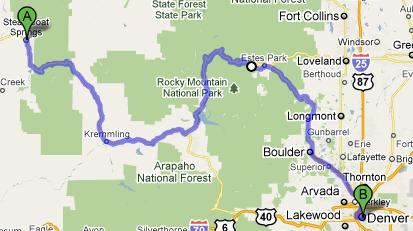
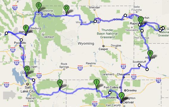
Below is the actual route we took on this trip:

Route for July, 2010

Route for July, 2010

Note: I just realized that the map doesn’t show our jaunt down to Grand Tetons.  We went there too, promise!

July 24, 2010

Rocky Mountain high

Filed under: Travel — Tags: — BigWeather @ 2:13 am

Woke up a bit later than normal and, just as I was doing my final “don’t wanna get out of bed” stretch I pulled my calf muscle.  I hate that!  As the hotel we were staying in did not have free breakfast we packed, checked out, and headed to good ol’ McDonald’s.  Next we gassed up and a woman responded to my “how are you?” with “another fine day in the boat!”  We later heard Steamboat Springs referred to as “the boat” on the radio so that was good to get cleared up.

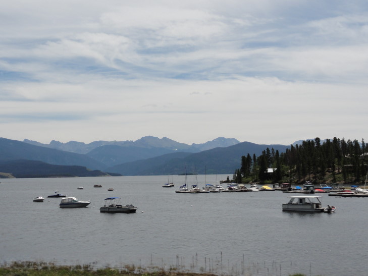
Headed east on US-40 over a very pretty pass called Rabbit Ears Pass just east of Steamboat and then settled into a nicely wooded valley for quite a few miles.  That eventually gave way to a canyon of the Colorado River (sourced just twenty miles or so from there) with steep dusty brown rock walls and a railroad line clinging on for dear life.  Turning left onto US-34 we passed both Lake Granby and Grand Lake.  Both lakes convinced us of the great need for our country to protect natural wonders (through National Parks and the like) — while the lakes were beautiful the amount of build-up on the shores, both low- and high-dollar, really impacted the place.  As with all things it is a balance between allowing people to enjoy the nature around them and protecting it, I suppose.

Lake Granby, Colorado

Lake Granby, Colorado

Shortly passed into Rocky Mountain National Park and visited the visitor center to pick up our customary magnet.  I knew we wouldn’t be in the park long so we just picked up a guide to the one thing we’d be doing that day — driving along the amazing forty miles of Trail Ridge Road.

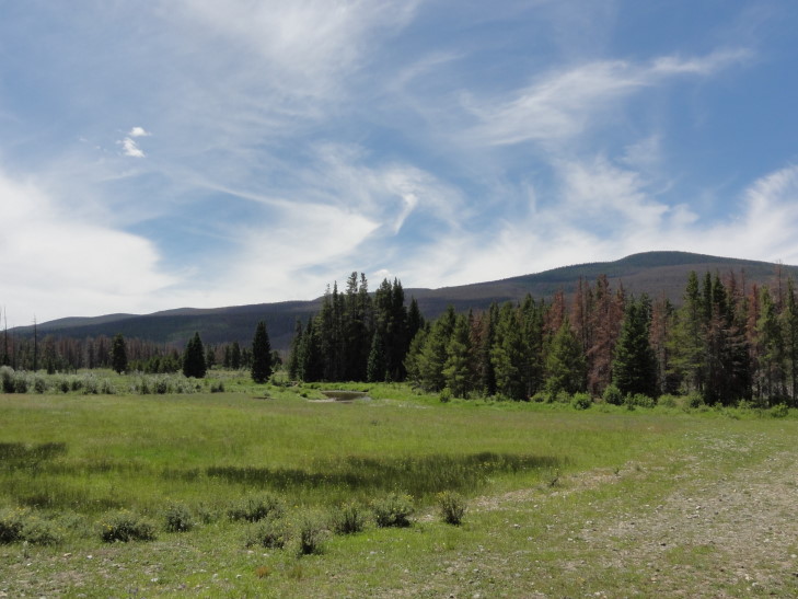
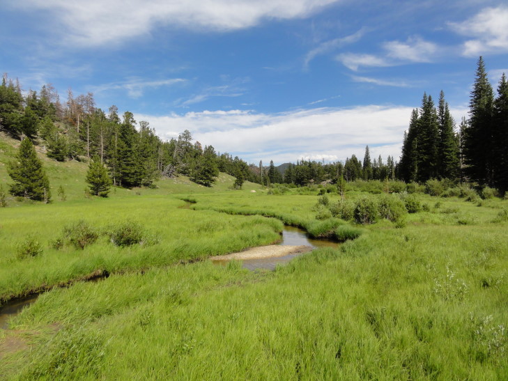
The road starts out flat enough, traversing through lowlands with willows that moose supposedly love to hang out in.  No, I didn’t see a moose today — the streak continues.  It soon starts gaining elevation and there is a series of five or so hairpin turns.  The birches and aspen give way to evergreen give way to tundra.  Trail Ridge Road is the highest through road in the United States with a peak elevation of 12,183 feet.

Western lowlands, Rocky Mountain National Park, Colorado

Western lowlands, Rocky Mountain National Park, Colorado

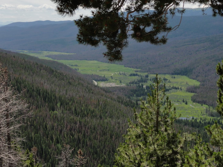
Lowlands from up on high, RMNP, Colorado

Lowlands from up on high, RMNP, Colorado

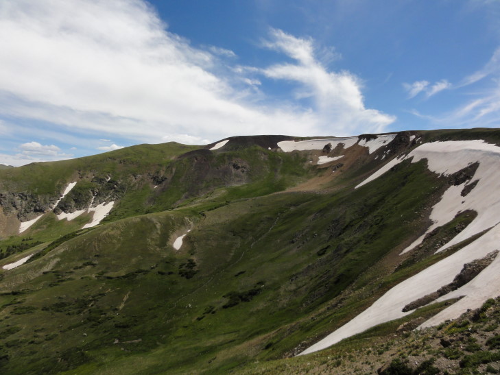
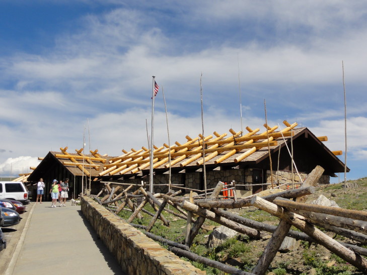
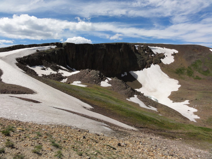
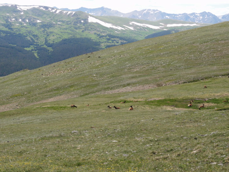
We stopped by the Alpine Visitor Center at well over 11,000 feet.  There we did some quick shopping (bought nothing) and ate a pretty decent lunch of hot dogs, chips, and a cookie.  We learned that the road is only open four to five months a year.  It takes six weeks to clear it after the winter as it is not uncommon to have 35 foot drifts!  All along the road were lodge pole pine trunks that help the clearing crew find the extent of the road under all of that snow.  The visitor center is located at the head of an ancient glacial cirque and, even today, there was quite a bit of snow up there in the shadier areas.  In addition to snow we also saw a herd of elk grazing on the tundra plants.  Also we saw a wall of cooled lava with snow at the bottom.  The lava was the result of an explosion about 28 million years ago.

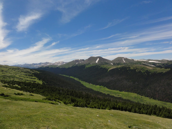
Cache la Poudre river valley, RMNP, Colorado

Cache la Poudre river valley, RMNP, Colorado

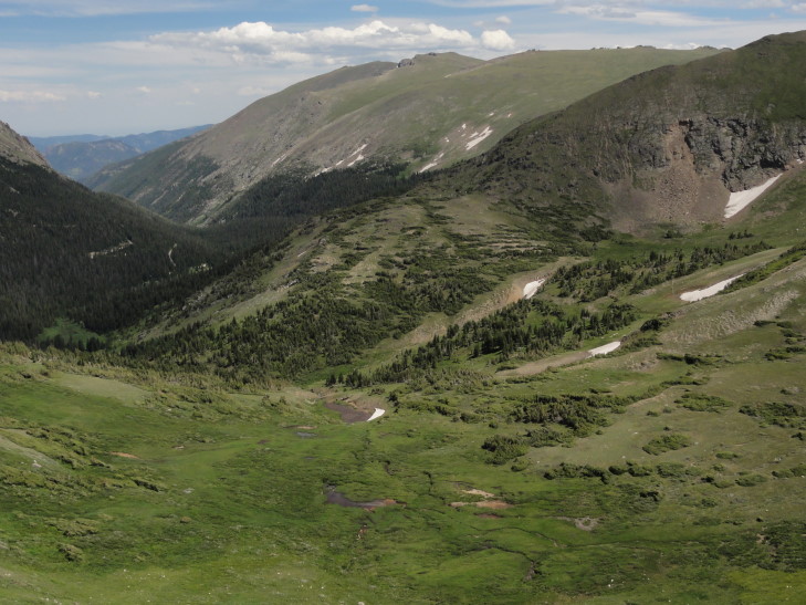
View of the cirque near the Alpine Visitor Center, RMNP, Colorado

View of the cirque near the Alpine Visitor Center, RMNP, Colorado

Snow in the cirque, RMNP, Colorado

Snow in the cirque, RMNP, Colorado

Alpine Visitor Center, RMNP, Colorado

Alpine Visitor Center, RMNP, Colorado

Lava wall with snow below, RMNP, Colorado

Lava wall with snow below, RMNP, Colorado

Elk lying on the tundra, RMNP, Colorado

Elk lying on the tundra, RMNP, Colorado

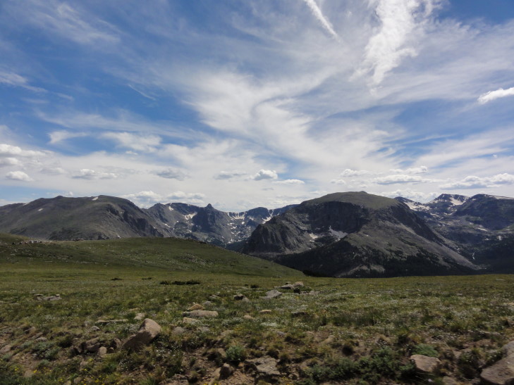
Shortly after we started the descent in low gear.  We got decent views of Longs Peak, at 14,259 the tallest peak in the National Park and the only “fourteener” (mountains over 14,000 feet) in the park — Colorado has 54 fourteeners in all.  Descended further and back beneath the timber line and eventually the grade lessened.  I took a short walk into another low-lying stream bed hoping to see moose but no dice.  Did have a conversation with a nice older lady who had been hiking for a week in the park looking for wildflowers.  She informed me that moose just aren’t seen on the east side of the park despite conditions being decent for them.  Oh well.

Lowlands in the eastern part of the park, RMNP, Colorado

Lowlands in the eastern part of the park, RMNP, Colorado

Headed out of the park on US-36 through Estes Park.  I had hoped to see the Stanley Hotel, the hotel that Stephen King stayed in that inspired The Shining, but was unable to find it and time was running out.  Note that the hotel used in the movie was not the Stanley but rather one built on the lot in England (though some secondary footage of a hotel in Oregon was also used as needed).  The mini-series, however, did use the hotel.  We next passed through Lyons, a town that was hosting Rockygrass, a bluegrass festival, over the weekend.  All sorts of interesting characters including a neat bus.

Bus near Rockygrass bluegrass festival, Lyons, Colorado

Bus near Rockygrass bluegrass festival, Lyons, Colorado

Hit Boulder and Denver at rush hour but eventually got to our hotel shortly after 6 PM.  I spent the better part of an hour emptying the car of all of the trash and stuff while Michelle took the bags to the room and started preparing for departure tomorrow by re-packing them more efficiently.  We decided to go to Outback that night to celebrate the end of this long trip.

On the way our constant companion through most of this trip, the Rockies, decided to grace us with the sight of the sun setting behind them, standing stark blue to black against the reddish-orange sky.  We’ll miss them, but we decided it was time to move on.

Route for July 23, 2010

Route for July 23, 2010

July 23, 2010

I resisted a two pound burger

Filed under: Travel — Tags: — BigWeather @ 1:37 am

After our free breakfast we checked out, gassed up, and headed to the Utah side of Dinosaur National Monument.  Got to the visitor center around 10:30 AM and caught the next shuttle to the Fossil Discovery Trail.  The trail is not reachable by private vehicle due to the construction on the new Dinosaur Quarry visitor center.  As we were shuttled to the trail head we saw mud on the road as a result of the two rare storms that hit the day before.  No such danger this morning, however.  Just some popcorn clouds.  Despite temperatures in the mid-80s it was hotter than Hades.  Luckily we had our dorky Tilley hats and bottled water to see us through.

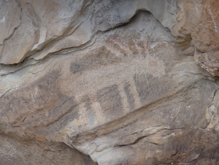
The first stop, Mowry Shale, was disappointing.  While we were supposed to see a fossil of some sea critter we couldn’t find it.  We did see, however, two pictographs just prior to entering that part of the trail so it wasn’t a total loss.  There was this shape that looked kind of like a crown or people or something and another that was a four legged critter.  I know it wasn’t a horse (because horses weren’t introduced from Europe yet) but beyond that I have no idea.  These artists weren’t exactly Vermeer.

Horse (?) pictograph, DNM, Utah

Horse (?) pictograph, DNM, Utah

Next moved on to the Morrison layer, the layer where the dinosaur fossils were found first in the early 1900s.  Carnegie sent a guy to “bring back something big” for his museum.  And how!  The quarry was excavated for 83 years and yielded many new species and much greater understanding about dinosaurs.  In the (now closed) visitor center there is a wall with 1,500+ bones — hate that we missed it, maybe we’ll get up there again.  In the cliff face we were walking along were several bones left in situ for visitors like us to get a sense of what it would’ve been like to come upon them the first time.  The paleontologists aren’t bothering to excavate more of the layer (despite there being bones that could obviously be excavated) because they’ve learned such a tremendous amount from that layer that they’ve moved on to other ones.

A Ranger pointed out a humerus, a femur of a large plant-eater (think Brontosaurus), three metatarsals from a large meat-eater (probably an Allosaurus), a pelvis (which was very shiny and easier to spot than many of the other bones), a small rib, and several vertebrae.  Michelle was amazed, as were the kids and I, because many of the bones were hard to spot — I suppose that’s what going to Paleontological State University will get you, the ability to spot them.  The Ranger also told us about a skull they found six inches below the surface with basically a super Geiger counter (detecting uranium 235).  Talk about a jackpot since the instrument could only detect less than a foot under the surface.  One scary moment when I almost backed off the cliff and had to pinwheel my arms to stay standing — it wouldn’t have killed me but it would have hurt for sure.  Whew.  Finished up the layer by having Addison point to a fossil and Genetta look surprised like she had just found it — fun times.  Yes, those white arrows are painted on the rock to make the fossil easy to spot for us tourists making the trick for the “Look, I just found a fossil!” picture to cover it up with your hand.

Dinosaur vertebrae, DNM, Utah

Dinosaur vertebrae, DNM, Utah

Plant-eating dinosaur femur, DNM, Utah

Plant-eating dinosaur femur, DNM, Utah

Finally we skipped the Stump layer.  Not only was it very muddy but the Ranger said that it wasn’t impressive at all — just some tiny things barely recognizable as ancient clams.  Woooo-eee!

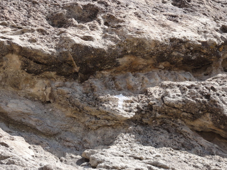
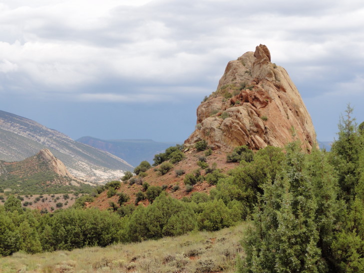
Rocks, DNM, Utah

Rocks, DNM, Utah

Back at the shuttle depot while waiting for the shuttle a man asked what size feet I had (you’d be amazed how many people ask that).  It led to a great conversation about both our groups’ travels.  He recommended going to the Chaco Culture National Historic Park when we do our southwest trip in a few years time.  He also said that the 31 mile drive in Dinosaur National Monument on the Colorado side was disappointing and a much better drive was to go about 20 miles towards Flaming Gorge National Recreation Area (just north of Vernal, Utah).  He also recommended going down to Grand Junction and the Colorado National Monument but when we told him we were doing Rocky Mountain National Park instead he agreed that was better.

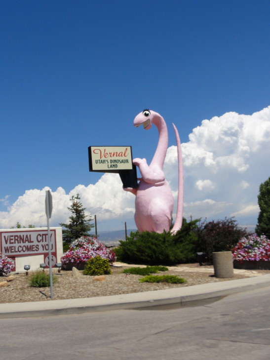
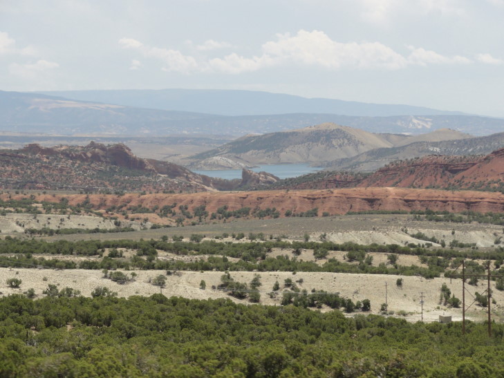
After returning to the visitor center we drove back to Vernal (and past the pink dinosaur statue with the odd eyelashes), got some money from the ATM (having to pay cash for dinner last night wiped us out), and headed north towards Flaming Gorge.  The guy was right, what a beautiful drive!  Lots of beautiful colored layers (yellow, gray, red) and helpful signs like “Produces Oil”, “Dinosaur Remains Here”, etc.  There was also a very nice reservoir that Addison and I took photos of.  We passed through a mining operation and a stretch of road with 8% grade and ten switchbacks with a gain of 4,000 feet.  A storm was gathering, however, so we turned around and headed back down.  The terrain was getting less interesting anyhow so it was just as well.

Pink dinosaur statue, Vernal, Utah

Pink dinosaur statue, Vernal, Utah

View from the road to Flaming Gorge NRA, Utah

View from the road to Flaming Gorge NRA, Utah

Headed east into Colorado, stopping at the welcome center at Dinosaur, Colorado for a free map and lunch at the adjacent B and B Family Restaurant.  The place was a bit run-down but the food was good and very reasonably priced and the people were very friendly.  Their menu was had Flinstones / dinosaur motif and they had a Brontosaurus Burger — a two pound burger.  Now back in college I could eat a Pizza Hut Pan Supreme in a single sitting and I might have been stupid enough to try to eat a two pound burger.  Being older I’ve grown to realize that maybe eating that wouldn’t be the smartest thing so I settled on the one-third pound burger instead.  Yeah, I’m a wimp!

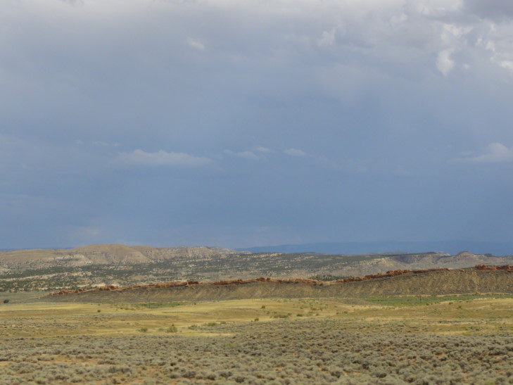
Left Dinosaur and cruised across northwestern Colorado towards the night’s rest stop in Steamboat Springs, Colorado.  The terrain was desert that gradually gave way to increased scrub then finally prairie and even some trees.  I was a bit sad at this transition as I knew we wouldn’t be seeing the arid landscape again on this trip.  The sparseness of the land was amazing — at one point we were sixty miles from the nearest gas station and there was almost ninety miles between towns.  Could you imagine a stretch from Winston-Salem to Raleigh with not a single house?

Arid landscape, Western Colorado

Arid landscape, Western Colorado

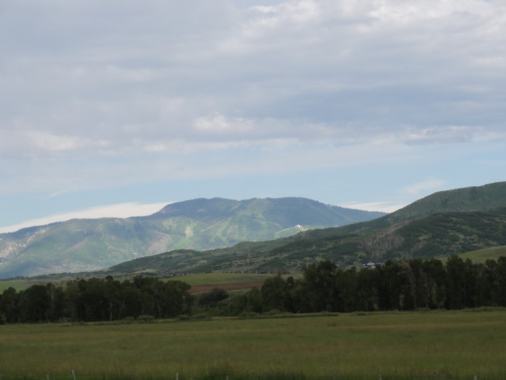
Finally got into Steamboat Springs about 6 PM though we saw the mountain with its ski runs (of course not covered with snow, it being July) long before.  Steamboat Springs is a nice town with lots of up-scale shopping and such.  Heck, even the McDonald’s and Wendy’s look very much like chalets.  Checked in to our hotel and relaxed a bit.  Michelle kept dropping interesting tidbits about the town from the welcome information: 300+ inches of annual snowfall (almost 30 feet!), the mountain can handle 33,000 skiers an hour, their real estate market had completely cratered since the 2007 peak, that sort of thing.

Steamboat, Colorado

Steamboat, Colorado

We went to the Smokehouse for dinner.  We had “bleu balls” as an appetizer — basically ham and cheese wrapped in chicken meat and fried — not bad.  Michelle loved her pulled pork sandwich and Genetta loved the smoky flavor of her ribs.  Addison didn’t care for his as much.  I had beef brisket and, while tasty enough, was disappointed by the serving size.  Still, not that bad a meal, if a bit pricey — but hey, Steamboat Springs, right?

Afterward we window shopped some though most stores were closed.  There was a store selling Western attire that was open, however, and Genetta got some boots — Michelle had promised her some long ago.  Headed back to the room, watched some TV, and went to bed to rest up for our last full day of our Western USA trip.

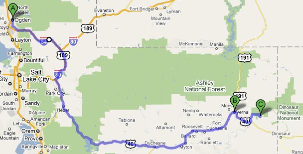
Route for July 22, 2010

Route for July 22, 2010

July 22, 2010

It rarely rains in Vernal, Utah…

Filed under: Travel — Tags: — BigWeather @ 1:46 am

…except when we come calling.

Woke up at our normal 7 AM, ate our tasty (and free) breakfast, and left Ogden for Vernal, Utah after filling up the car and getting some sweet tea from McDonald’s.  We had originally considered going to Golden Spike National Historic Site, a place we hadn’t gotten to yesterday, but it had a couple of strikes against us going: it was a half hour in the wrong direction and many of the attractions (including the locomotives) are reproductions.  That and the kids just didn’t seem that interested.

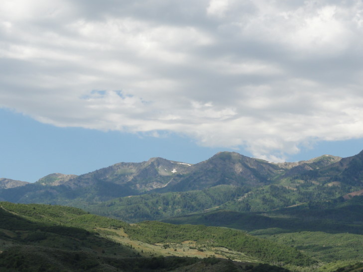
So we headed east from Ogden on I-84 then east on US-20 in an effort to avoid having to drive through Salt Lake City and also to see some of the beautiful scenery to the east of the Great Salt Lake.  It certainly lived up to our expectations!  There was a wide variety of mountains — gray jagged rock, red sediments, pillars of stone, tree-covered, shrub-covered, bare, you name it.  Quite a variety of terrain.  We also saw several beautiful lakes in the mountains.  One odd thing is that many of the mountains had a single large white letter etched in them.  At first we thought it must correspond to the first letter of the nearest town but that theory didn’t hold as time went on.  We never did find out the meaning of all of the letters, but Wikipedia has an interesting article on it.  Utah has one of the highest concentrations of these “hillside letters”.

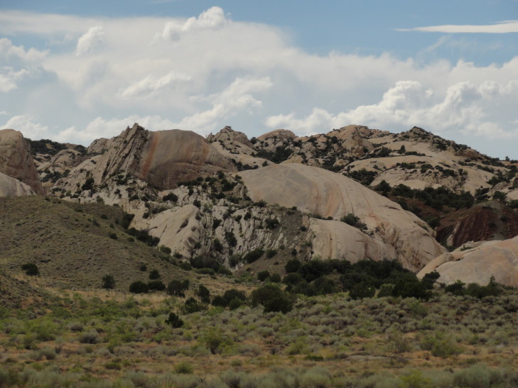
Mountains east of Ogden, Utah

Mountains east of Ogden, Utah

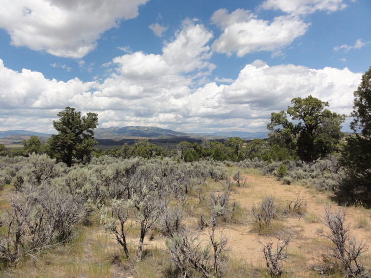
After passing through (and eating a Wendy’s lunch at) Heber, a very charming and “old fashioned” town, we passed just north of the Strawberry Reservoir which reminded me a lot of a Scottish loch due to the complete lack of trees on the green hills and the gorgeous blue water.  East of that the terrain flattened out a bit and the green gave way to increasingly scrub vegetation.  We stopped at a rest area that had a delightful walking loop that offered views of a valley to the north.

Strawberry Reservoir, Utah

Strawberry Reservoir, Utah

View from a rest stop in northeastern Utah

View from a rest stop in northeastern Utah

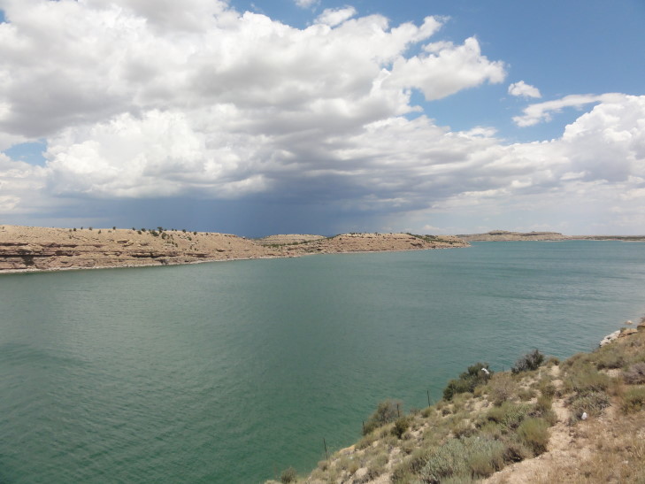
A bit further to the east we came upon Starvation Reservoir (charming name, eh?).  Starvation Lake had the most beautiful blue-green water which was accentuated by the sand-colored cliffs that contained it.  There was a marker for the Dominguez-Escalante expedition in 1776 that explored Utah (the explorers were seeking a new way to Monterey, California from Santa Fe).

Starvation Reservoir, Utah

Starvation Reservoir, Utah

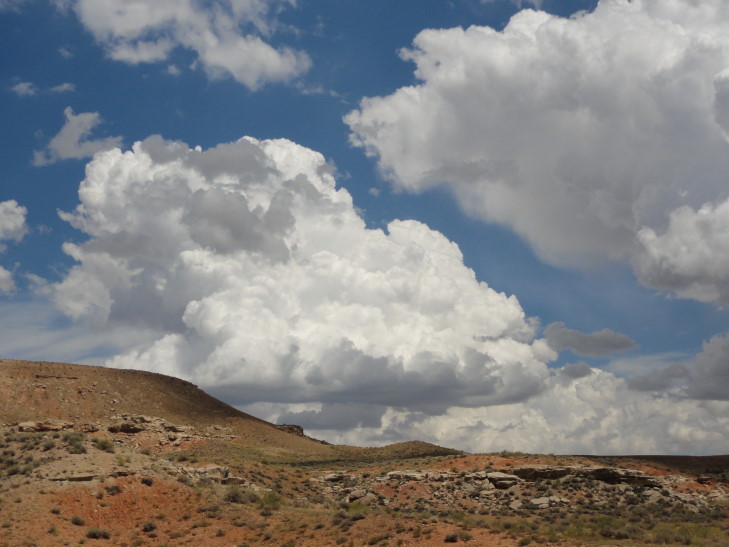
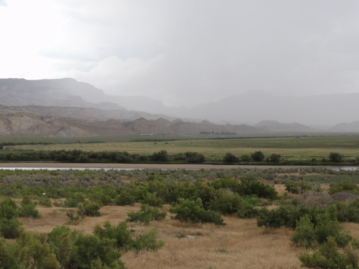
Shortly after the reservoir a huge storm started blowing up to our left (so, north of us).  At one time I thought that a wall cloud may actually be forming but then I remembered Utah almost never has tornadoes.  Still would like to see one one day, though.  Maybe Greg and I can have a mid-life crisis trip to chase them one year.

Thunderstorms over northeastern Utah

Thunderstorms over northeastern Utah

Finally arrived in Vernal about 2:30 PM.  While not as charming as Heber it does have quite a bit in the way of places to eat and shop which is nice.  Since we couldn’t check in until 4 PM we decided to head to Dinosaur National Monument‘s temporary visitor center (the real one has been condemned and is being rebuilt).  While there we picked up information about the two auto tours as well as a couple of interesting small hikes.  The only place to see fossils in the park is along the Fossil Discovery Trail.  Unfortunately, the trail was closed due to the visitor center construction but they did have morning shuttles to the trail — something we decided we’d have to do on Thursday.

While at the visitor center the skies finally opened up.  Close lightning, booming thunder, and a torrent of rain.  One of the Rangers had to go outside and sweep the water that was ponding next to the building as best he could.  He said that the area only gets 7 to 9 inches of precipitation a year and storms were fairly rare.  Though he also said the majority of the precipitation is snow in the winter to the tune of “a foot or two” (liquid equivalent of 1 to 2 inches) so I think his math may be a bit off.  Regardless, it was fairly rare and yet… there it was.

Thunderstorm, Dinosaur National Monument, Utah

Thunderstorm, Dinosaur National Monument, Utah

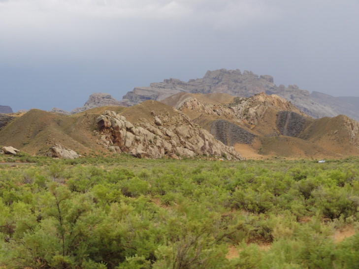
Once the rain had (mostly) let up we set out on the “Tilted Rocks” car tour, an eleven mile drive entirely in Utah (Utah shares the National Monument with Colorado).  We were immediately struck by the distinct layers of rock and their colors: red, gray, yellow.  These layers were laid down during different eras spanning millions of years.  The layer of gray was a marine layer from back when a shallow sea covered the area.  Rather than laying flat the layers had been thrust upward by uplifting and such.

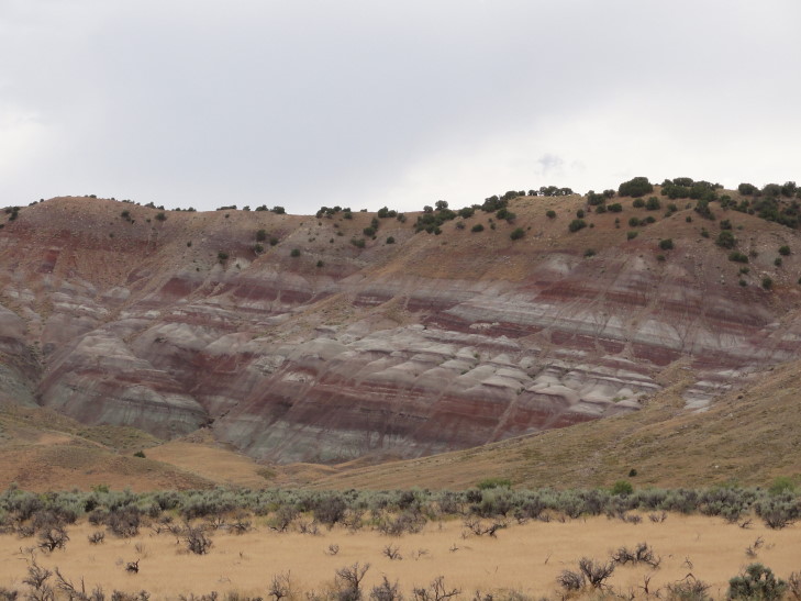
Rock layers, DNM, Utah

Rock layers, DNM, Utah

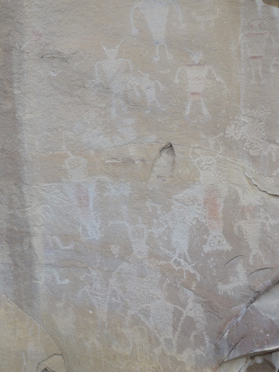
One of the first stops was called “Swelter Shelter” because when it was excavated in the 70s it was during the summer and blazing hot.  This area of overhanging rock had been a shelter for thousands of years (perhaps back 10,000 years) for humans hunting native species of the time.  It was in use even up until 700 – 1300 AD when the Fremont culture put petroglyphs and pictographs on the rock.  It was quite amazing to see rock art drawn nearly a millennium ago, the kids in particular seemed to enjoy it and kept finding interesting figures.

Fremont rock art, DNM, Utah

Fremont rock art, DNM, Utah

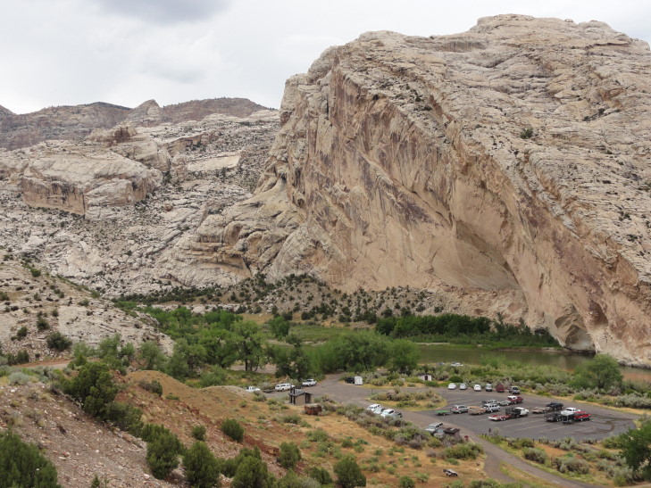
We then proceeded to Split Mountain, a mountain with quite a mystery — the Green River actually cut a course through its tough rock rather than around it.  Water is a beautiful thing in that it is 100% predictable — it will always do the laziest, easiest thing.  So why, in this case, did it cut though tough rock rather than flow around it?  Speculation is that there was originally softer rock above what is today Split Mountain that the Green River established a river channel through.  When it hit the Split Mountain’s current hard rock, or more likely, Split Mountain was thrust upward towards the river, it was too established in its bank and it was actually easier to cut through Split Mountain than chart another course.

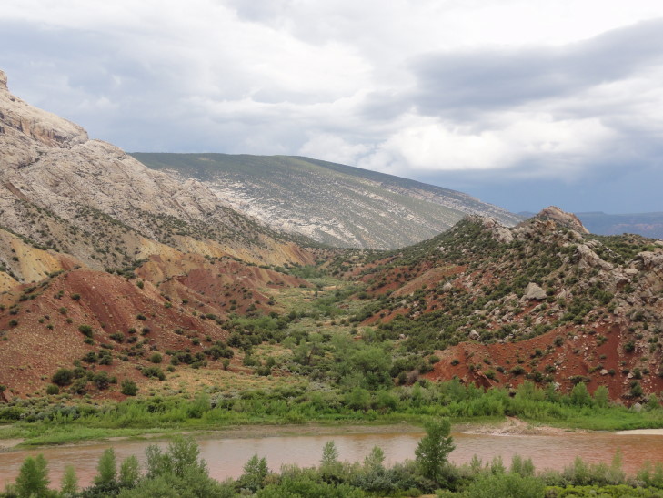
Split Mountain, DNM, Utah

Split Mountain, DNM, Utah

At the entrance to the canyon cut through Split Mountain was a campground.  I felt a bit nervous for those folk as the normally tame Green River was swelling and red with the recent runoff.  After learning a bit about the ranch that the tour passes through but isn’t part of the National Monument we decided to turn around — the road became unpaved and with it having just rained we were concerned about the conditions.

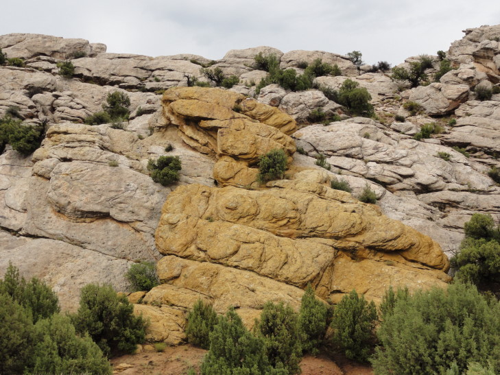
Yellow rock, DNM, Utah

Yellow rock, DNM, Utah

Checked in to our hotel and immediately set out for dinner.  We at Quarry Steakhouse and Brewery.  It was a bit pricey for the quality but we were hungry.  Just as we were about to pay another storm hit with torrential rainfall and frequent lightning.  It knocked out power and they couldn’t run credit cards so we had to pay with cash.  The ride home wasn’t that fun as many people apparently didn’t realize that stop lights become four way stops in the event of power failure.  Watched a new episode of Psych, went swimming, then bed.

Route for July 21, 2010

Route for July 21, 2010

July 21, 2010

That’s one small step…

Filed under: Travel — Tags: — BigWeather @ 12:16 am

Woke earlier than usual, got breakfast (yay Holiday Inn Express — finally free breakfast again!), and checked out by 9 AM.  Ran to Wal-Mart to pick something up, filled up the car with some gas, and got some tea from McDonald’s for the hour and a half drive out to Craters of the Moon National Monument.  We headed out on US-20 and unfortunately almost immediately encountered construction delays.

Soon after the farmland gave way to sage brush scrub land with several buttes (including Big Southern Butte, which I took great joy in calling Big Southern Butt) in the distance to the south and a range of mountains to the north.  US-20 goes straight through the Idaho National Laboratory, a leading center in nuclear research.  They’ve produced more reactors than any other place in the world, just over fifty.  In addition it is the site of EBR-1, the first nuclear reactor to produce electricity.  INL is also the birthplace of the nuclear navy with the first nuclear reactors to be used in subs and other vessels developed and tested there.  Fascinating stuff.

Lava Flow with Big Southern Butte beyond, Idaho

Lava Flow with Big Southern Butte beyond, Idaho

We also learned that the Lost Rivers ran underground through most of the area, forced underground by the lava fields of Craters of the Moon and not emerging to the surface until just short of merging with the Snake River — a distance of over one hundred miles.

Passed through Butte City (which again elicited quite the chuckle from immature yours truly) and Arco.  Arco became the first town powered by nuclear energy in 1955 with electricity generated in the nearby INL.  Arco is also where the nice retired police chief that we met at Wal-Mart lived — amazing that he has to drive one hour plus to shop — but there truly is nothing between Arco and Idaho Falls in the way of shopping (and nothing in Arco itself, of course).

Just west of Arco on US-20 we really started to see the beginnings of the lava flow (which we later learned to be the Blue Dragon Flow) — a black line on the horizon stark against the pale green of the scrub land with many jagged looking rocks.  The cinder cones also started to come into view.  Stopped by the visitor center and got the customary magnet and some advice on which trails were worth taking.  Learned that the hot spot currently under Yellowstone National Park was under Craters of the Moon six to ten million years ago (or, more correctly, Craters of the Moon was over the hot spot six to ten million years ago but has since drifted southwestward as part of the North American Plate at two inches a year).  The last volcanic activity was a scant 2000 years ago (give or take 800 years) — amazingly recent.

Craters of the Moon NM from space

Craters of the Moon NM from space

We set out on the loop road, first coming to a cinder cone.  It looked like it wouldn’t be that hard a climb but it just kept going up and up.  It is a hill composed entirely of black pea size volcanic rock.  At the top there were some trees and scrub bushes that managed to establish themselves.  The view was magnificent — from the snow-capped Lost Range to the north to the spatter cones nearby (that had produced the cinders that formed the cinder cone we were standing on) to the lava flows and scrub land beyond.  Headed down the hill (the climb was over 160 feet at a 15% grade) and moved on to the next viewpoint, the spatter cones.

Trail up the cinder cone, Craters of the Moon NM, Idaho

Trail up the cinder cone, Craters of the Moon NM, Idaho

View of spatter cones from cinder cone, CotM, Idaho

View of spatter cones from cinder cone, CotM, Idaho

Lost Range viewed from cinder cone, CotM, Idaho

Lost Range viewed from cinder cone, CotM, Idaho

We climbed up and into two spatter cones.  The first was pretty neat with a narrow entrance to the cone itself.  The second, called Snow Cone, was really interesting in that there is snow in the bottom of it year-round.  The cones had originally been in much better shape but early tourism damaged them until a renovation / restoration was started in the 1980s.

Trail up a spatter cone, CotM, Idaho

Trail up a spatter cone, CotM, Idaho

Snow in Snow Cone, CotM, Idaho

Snow in Snow Cone, CotM, Idaho

Spatter cones, CotM, Idaho

Spatter cones, CotM, Idaho

Continuing along the loop road we came to our next stop, the lava flows and the caves underneath.  The top of the lava in the flow cooled and formed tubes that the remaining lava could flow through for miles without cooling.  Eventually the flow stopped getting new lava and the tubes had empty space in them.  The roof of some of the tubes would collapse forming cave entrances and skylights in existing caves.  We went through the one cave in Craters that doesn’t require a flashlight — Indian Cave.  Indian Cave was used by Native Americans years before, possibly for ceremonial purposes based on circular arrangements of rocks found at the site.  Other caves like Dew Drop and Boy Scout aren’t navigable without a light source and are much tighter squeezes.

Blue Dragon Flow, CotM, Idaho

Blue Dragon Flow, CotM, Idaho

Indian Cave, however, is huge — at some points the ceiling is almost forty feet above the floor.  In addition there are many skylights that adequately light the way.  Birds make their home in the cave and there was also some lichen on the rocks and even a drip drip of some moisture (there wasn’t a lot, though, the area is pretty arid) from above.  The rock was very sharp and difficult to walk on, however, and many shifted position when stepped up making it quite treacherous.  Michelle went in a ways but then returned to the entrance while I accompanied Genetta and Addison through to the end of the cave and scrambled over the top of the cave (while avoiding falling into skylights) to the entrance and a reunion with Michelle.

Indian Cave, CotM, Idaho

Indian Cave, CotM, Idaho

Skylight in Indian Cave, CotM, Idaho

Skylight in Indian Cave, CotM, Idaho

Finally I took a small .3 mile trail near some of the crater wall that had been shook loose from the crater (whether by the lava itself or earthquakes associated with the activity is not known) and floated down to rest near some other pieces.  Very picturesque.  Throughout it all I continued to be amazed that in spite of the arid environment, lack of much soil, and much heat reflected from the rock that life found purchase and even thrived.  I especially liked these little white clumps with orange flowers.

Displaced crater walls, CotM, Idaho

Displaced crater walls, CotM, Idaho

The National Monument was established in 1924 and the name came from a National Geographic writer that surmised that the harsh terrain would be similar to that found on the moon.  This turned out to be incorrect, however, but NASA did use the National Monument for training before and during the moon landing period.  In a very odd coincidence we were at the National Monument on the 41st anniversary of the first moon landing (and hence, the title of this entry).

Left the National Monument and headed to Arco to eat.  The town has no chain restaurants or anything but does have several delis.  We ate at one near what is called Number Hill, a hill that high school seniors have been painting their year on the rocks since at least 1928 (the oldest that we saw, assuming 01 – 10 represented 2001 – 2010).  The pastrami Reuben I had was excellent.

Number Hill, Arco, Idaho

Number Hill, Arco, Idaho

Headed back to I-15 via US-26 and through the INL.  Hooked up with I-15 in Blackfoot, just north of Pocatello.  Drove south to Ogden, Utah stopping once to get some refreshment at this place called Arctic Circle.  The terrain gradually became more mountainous and the mountains themselves less scrub-covered and more rocky.  We spied the Great Salt Lake to the west as we pulled in to Ogden.

Checked in and while the halls of the hotel were very hot (they have a busted AC unit) the rooms were fine due to each room having its own unit.  In fact, the room was wonderful — huge cathedral ceiling (at least 12 feet), bigger than the others we’d stayed at, and nicely furnished.  Ate at a restaurant within walking distance called Cactus Reds that was decent enough — I had the chicken fried steak, scalloped potatoes, and some mocha pie for dessert.  Genetta had quesadillas, Addison fajitas, and Michelle barbecue chicken.

Route for July 20, 2010
Route for July 20, 2010
Older Posts »

Powered by WordPress