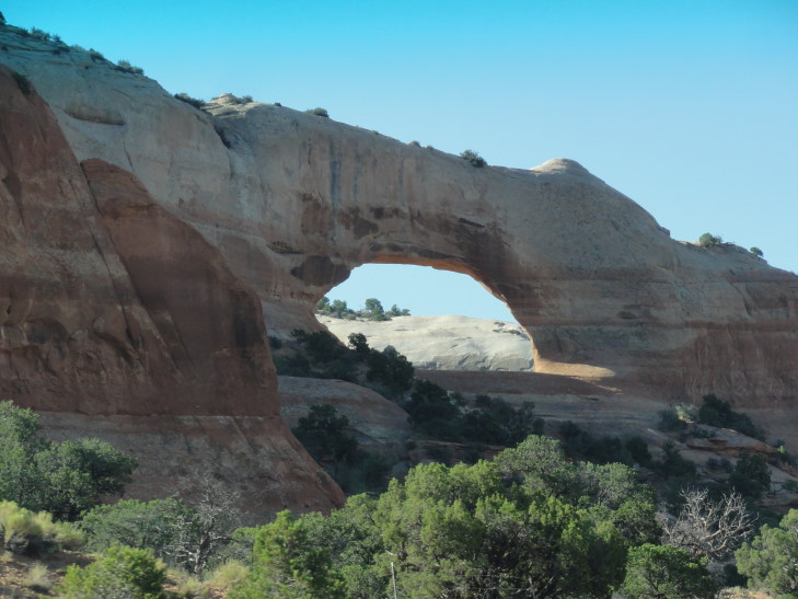
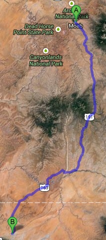
Our day started very early — we were up, ate breakfast, and checked out of our hotel by 8a. We took route 191 south out of Moab, passing scrub country with colorful rock layers and even an arch (Wilson Arch). There was even a South of the Border equivalent (well, not really, it was much smaller and much less gaudy) called Hole n’ the Rock a few miles south of Moab with a few tourist trap things to do. A few farming communities lay along the route such as Monticello, Bluff, and Blanding.
Blanding has a funny origin. It was founded as Grayson but in 1914 a rich east coast millionaire named Thomas Bicknell offered to donate a one thousand volume library to any town that would change its name to Bicknell. Grayson and another town, Thurber, took him up on it but since Thurber changed its name to Bicknell Grayson chose Blanding, Bicknell’s wife’s maiden name. Each town got a five hundred volume library as a result. At the rest stop in Blanding there is a little museum which includes a book from that library that still has Bicknell’s name in it and had never been checked out. Turns out that the five hundred volumes each town received were his old law books and such, stuff that nobody in the towns cared about. The lady at the rest stop did recommend visiting Goosenecks State Park, however.
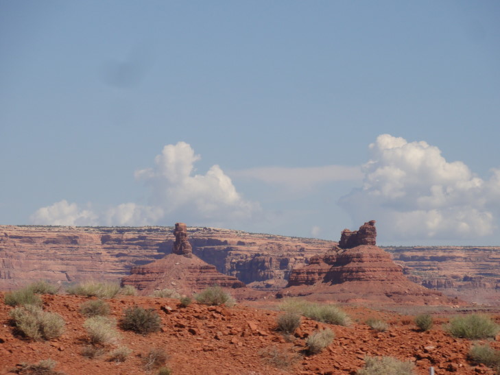
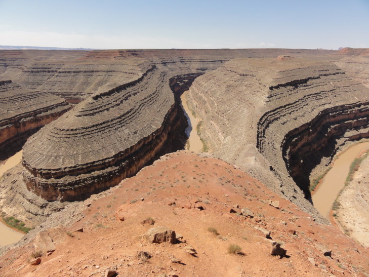
It turned out to be a solid recommendation. Only a few miles off of our intended path along route 163 past Bluff, Goosenecks is a place where the San Juan river, one thousand feet below, is trapped in an entrenched meander — caused by uplifting preventing the river from changing course. The bends were so tight that the muddy river below took six miles of flow to move just one mile. Off in the distance we also got our first view of Monument Valley in the distance. There was a Navajo woman selling jewelry, Genetta picked up a set of earrings of woven silver with turquoise stones for $10.
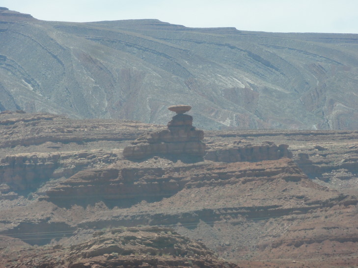
Heading back to route 163 we soon entered the town of Mexican Hat, named after a nearby rock formation that looks a bit like a dude wearing a sombrero. A tiny town with a gas station and a couple of hotels, it was nonetheless charming — mainly because it sat astride the San Juan river and even had a hotel right on the rim of its canyon (though there were cliffs above that that looked very unstable — you couldn’t pay me to stay there — SPLAT).
Crossing the San Juan marked our passage into the Navajo Nation, the largest Indian autonomous region in the United States. The Nation has its own laws, courts, president, vice president, cabinet, and legislators. It is very large, spanning across parts of Utah, almost all of northeastern Arizona, and western parts of New Mexico. Interestingly, it honors daylight savings time but Arizona does not — causing a bit of a headache in trying to figure out what time it is — especially considering the Hopi is in the middle of the Navajo Nation (making the Nation a donut, basically) and follows Arizona’s lead and does not honor daylight savings time. The Hopi and Navajo once had a joint region but split.
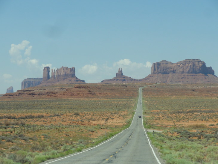
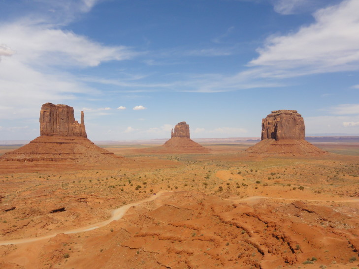
Just short of the Utah – Arizona border we emerged over a ridge and saw the road leading straight to Monument Valley’s spires, forming that iconic view seen in so many movies like Forrest Gump. There was even a really brave — or very stupid — guy standing in the middle of the road, back turned to oncoming traffic, taking a picture of himself with his camera on a tripod. Nuts. We turned left towards Monument Valley, crossing into Arizona just before arriving at “The VIEW”, a Navajo-run hotel perched on the edge of Monument Valley with rooms offering balconies with probably one of the best views in the world. Wish I had known it existed when I was planning this trip, I’d have likely stayed there instead. Oh well.
As it was about lunchtime we ate in the hotel’s restaurant. We had an appetizer of Navajo blue-ish fried flat bread and honey — really tasty. I had a Navajo taco with seasoned beef, basically fried flat bread holding taco salad contents, and a salad. It was immense, I finished maybe half. Michelle had a traditional taco salad. The entrees were all named after various stars of movies filmed in the area — Genetta had the Tom Hanks club sandwich and Addison the John Wayne bacon cheeseburger. Afterwards we shopped a bit in the gift shop. Michelle found a pot she liked, Addison a ceramic cactus, etc.
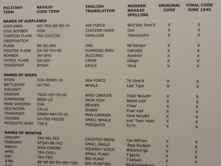
While we were trying to decide whether to go on a guided tour or not we looked through the museum and learned all about Navajo Wind Talkers and the role they played in the Pacific War. Particularly fascinating was the names for various things, like using the Navajo word for “potato” to refer to grenades or “chicken hawk” for dive bomber.
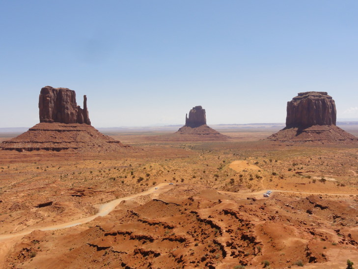
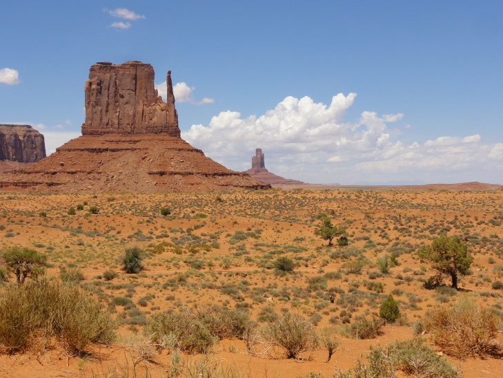
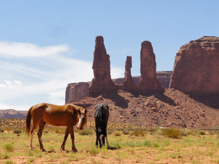
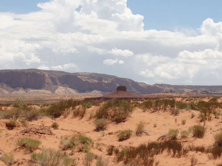
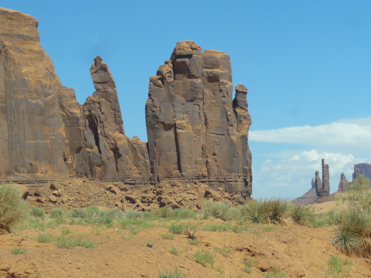
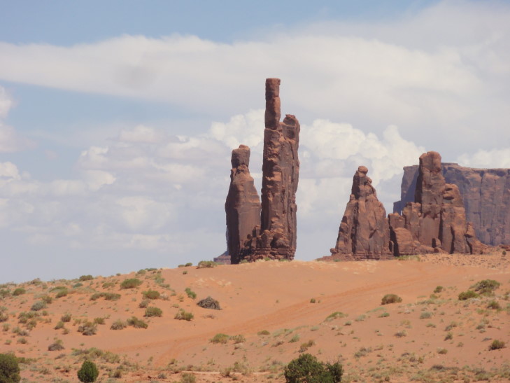
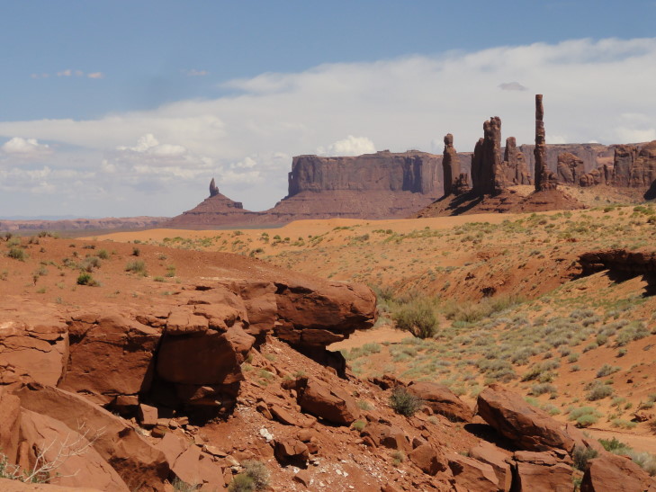
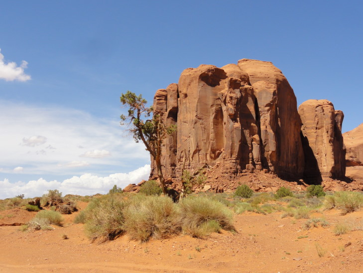
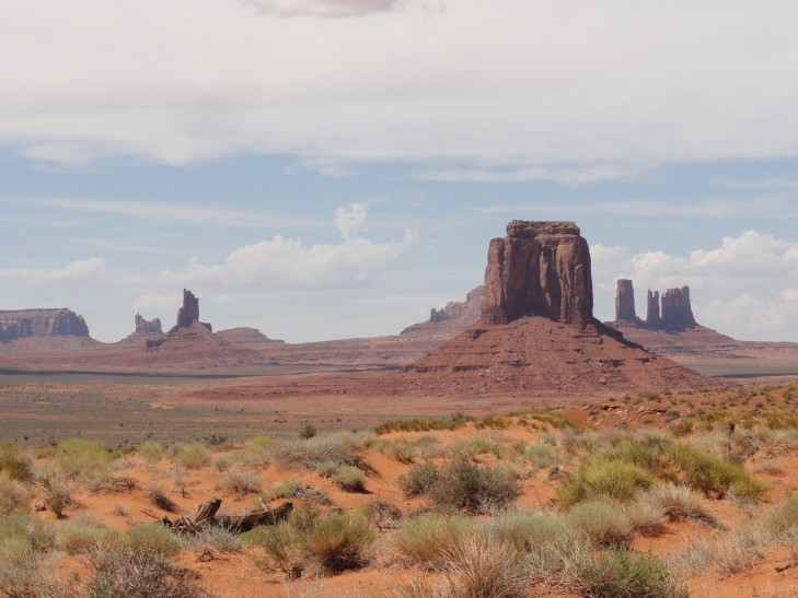
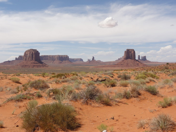
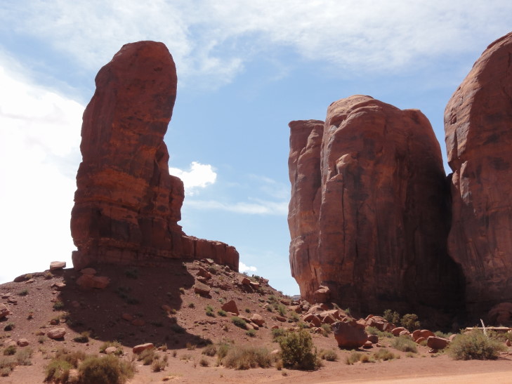
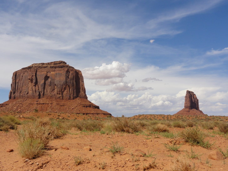
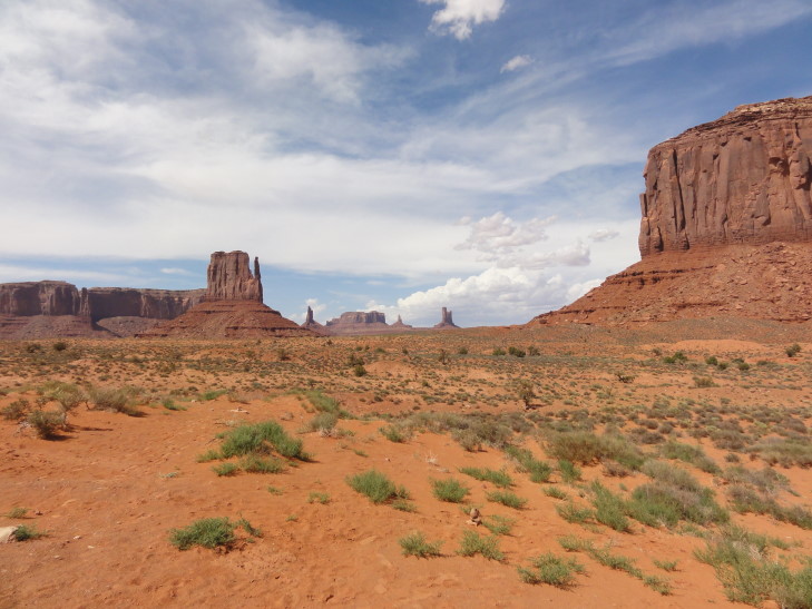
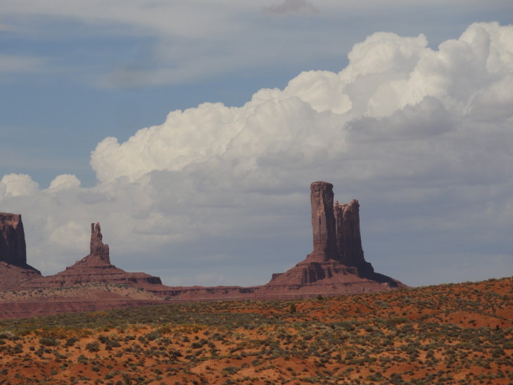
We decided to do the seventeen mile drive ourselves and headed down the steep rocky and sandy unpaved road to the flatter valley floor (though Monument Valley isn’t really a valley at all as there is no river or stream there) below. It took several hours to complete the drive but it was worth it — stupendous scenery such as the Three Sisters, Totem Pole, the Hub, the Thumb, and of course the famous Left Mitten and Right Mitten. Every turn revealed some movie vista. One of our favorite moments was a small herd of horses grazing in front of the Three Sisters. The weather was a bit warm and, despite thunderstorms in the distance, the rain held off — the first rainless day of the trip.
We avoided the jewelry and horse tour stands as well as the Navajo astride a horse that charged to appear in photographs and just focused on enjoying the scenery. The return trip back up the rise was not relaxing, however. The road was extremely bumpy and there were a few times I was sure we were going to be stranded in the soft, fine red sand. Once we got back to the hotel parking lot we got out and could not believe the dust on the vehicle. The one day we actually needed the rain we don’t get it.
We headed back to the gift shop to get Michelle a dream catcher and Genetta a pack of Navajo tea and then headed to Kayenta, a town about twenty miles southwest of Monument Valley. A quick stop at McDonald’s for drinks then checked in at the hotel. What’s odd is we got room 321, the same room number we had in Moab. Add to that the fact that in both Zion and Bryce we had cabin #533. Very, very odd. The hotel room is nice and the WiFi decent. We relaxed a bit then ate dinner in the hotel restaurant. It was average at best but did its job. Finished yesterday’s blog and tried to knock out today’s blog before finally heading to bed.
