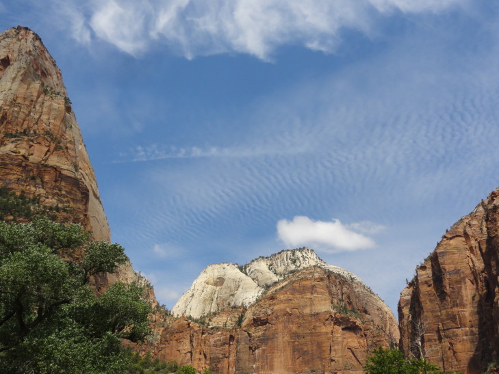
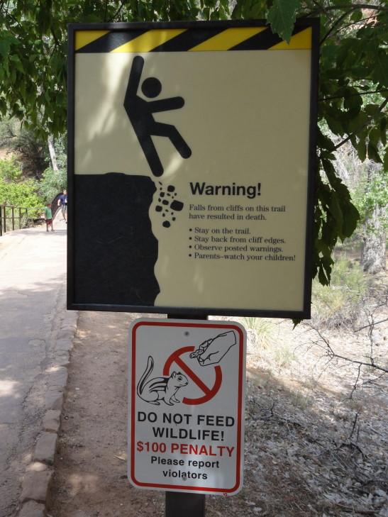
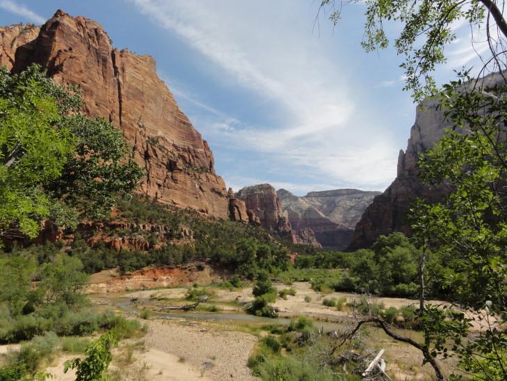
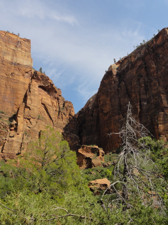
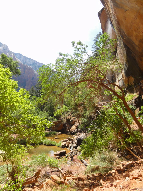
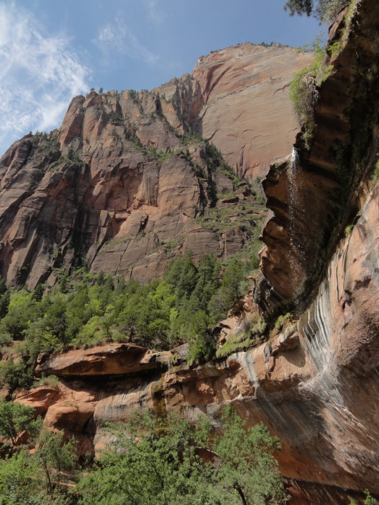
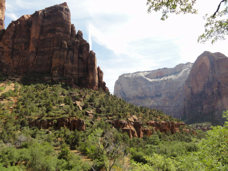
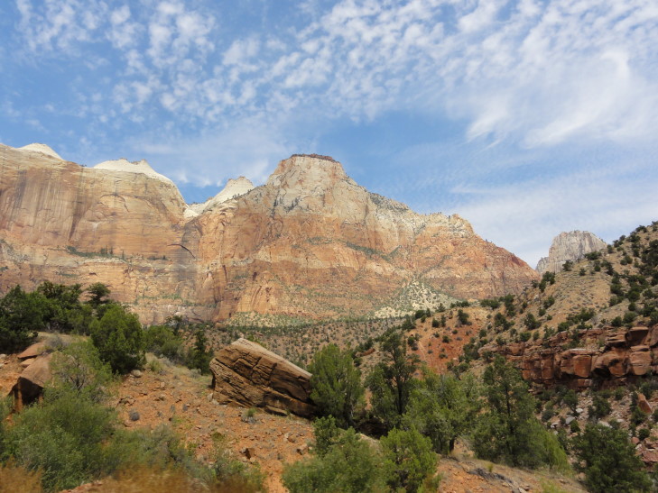
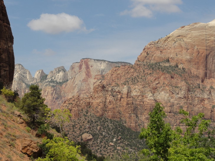
We woke up fairly early and got breakfast at the lodge. Addison had the buffet while the rest of us had fried eggs, bacon, sausage, and some hashed brown potatoes. We returned to the room, packed up, and checked out. Along the way we stopped by the gift store and got a magnet and a few other things. Headed across the road that follows Zion’s canyon (cut by the Virgin River) to take the trail to the Lower Emerald Pool. There were also Middle and Upper pools but the trail was a bit more difficult so we opted for just the Lower. A 0.6 mile hike each way with some moderate elevation changes through mostly wooded terrain. It first followed the river then turn in to a side canyon. There were some amazing views of the river valley along the way.
The pool itself was pretty unremarkable and certainly not what I’d consider “emerald.” However, the water falling from the overhang above was pretty neat and the cool droplets were welcome after the walk. The air temperature was thankfully much cooler than the previous afternoon (when it was right about 100F) but as we were returning back to the lodge it was already creeping back up.
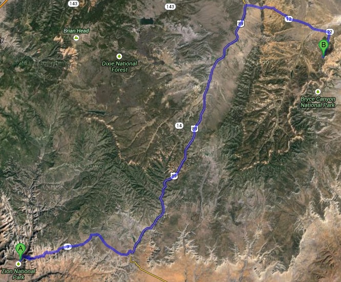
We piled into the car and headed out of the park on route 9. The road looked pretty terrible on the map — tons of switchbacks and the like as it climbed from 4000′ (the elevation at the Zion canyon floor) to about 7000′. It turned out to be fine, though — traffic was moving at a reasonably slow speed and nobody was pushing people along. Also the view as we rounded each turn could not be beat. It included a “blind arch” — a very large deep alcove in the shape of an arch where the stone had sloughed off and into the valley below. We got stopped just before a tunnel as there was some roadwork in progress. I talked with a biker who was out here with his girlfriend returning from a wedding in Las Vegas. They’d both lived in the area for over forty years and had never visited Zion. Amazing! I guess when it is in your backyard the urgency isn’t as great. After about ten minutes we proceeded through the tunnel, a very impressive feat of engineering from the 1920s at over one mile long.
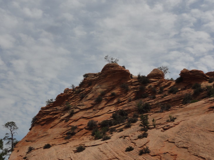
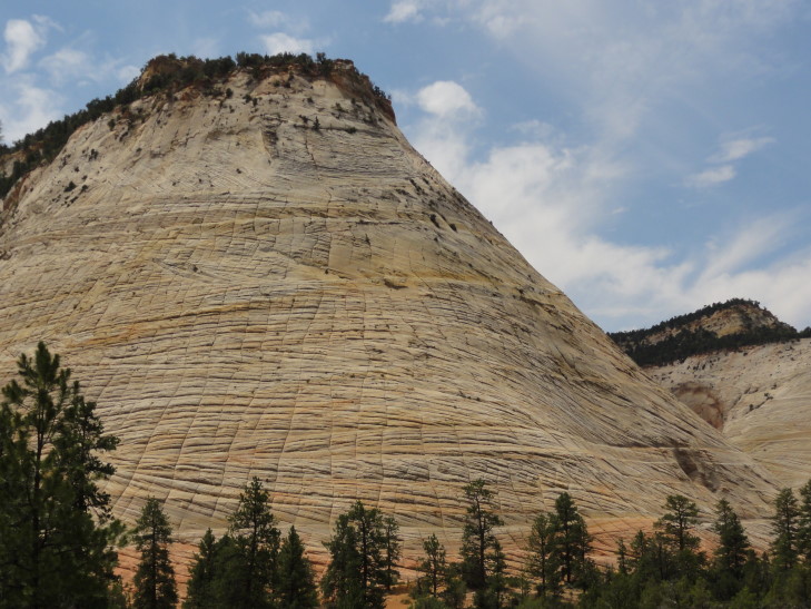
We emerged at the eastern end of Zion National Park and saw some more remarkable terrain including canyons, colored layers of rock, and a mesa called “Checkerboard Mesa” that had horizontal and vertical cracks running all throughout it. Apparently the horizontal cracks were boundaries between layers of sand dunes that had hardened millions of years ago. The vertical cracks were stress cracks from the yearly freezing and thawing. After leaving the park the land turned to mostly horse ranches and even a ranch with buffalo (and a steer that looked oddly out of place). We eventually ate at a small diner with tons of trains memorabilia scattered throughout as decor. I had a reuben, Genetta and Michelle some pork BBQ, and Addison a steak sandwich which he really, really liked — it helped make up for the fact that they didn’t have beef brisket.
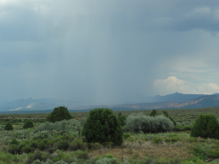
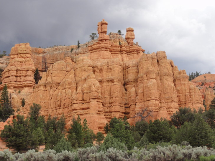
As we left the diner we kept seeing old autos from the 1910s through 1930s or so, at least a hundred of them as we made our way towards Bryce Canyon National Park. It wasn’t the best day for a ride in those open cars, though. The temperature was pleasant enough at 80F (being at 8000′ has its advantages) but a storm blew up and we had rain again today. That makes all but one day since June 22nd that we’ve seen a little rain — amazing, a stretch of a month. As we were nearing Bryce Canyon’s entrance we passed through Red Canyon, a state park. It had spires of bright red rock and what looked like a really pretty bike path.
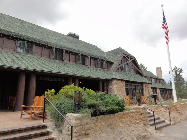
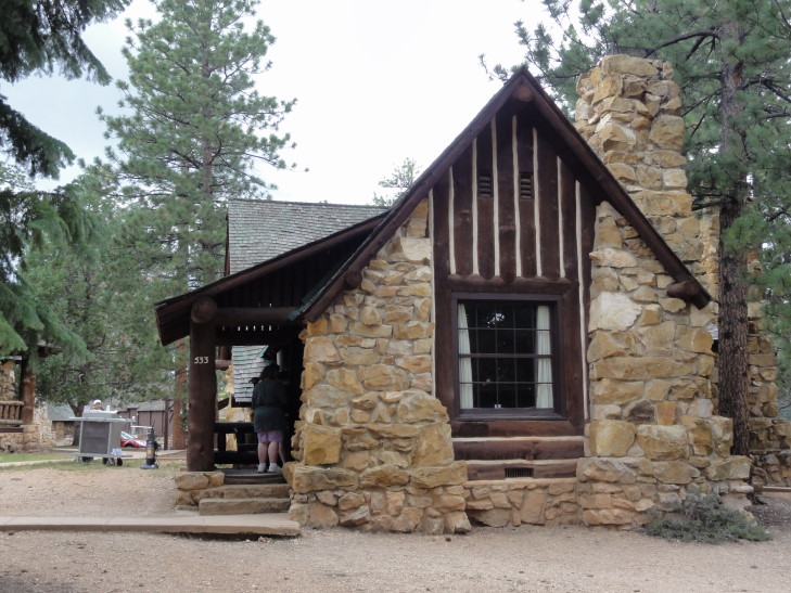
The ranger at the entrance was really friendly and had served a stint at the Blue Ridge Parkway. I told him we were bringing the rain with us and he remarked that, nope, he thought it was clearing out. We made a bee-line for the lodge and checked in. Cabin #533, the exact same number we had in Zion! The cabin was very nice, though still no TV (which is fine by the parents). Addison was happy to hear that, unlike Zion, there was no limit on the number of devices that could be connected to the WiFi at once — well, until I told him that the only WiFi was in the lodge’s lobby a short distance away.
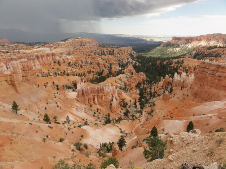
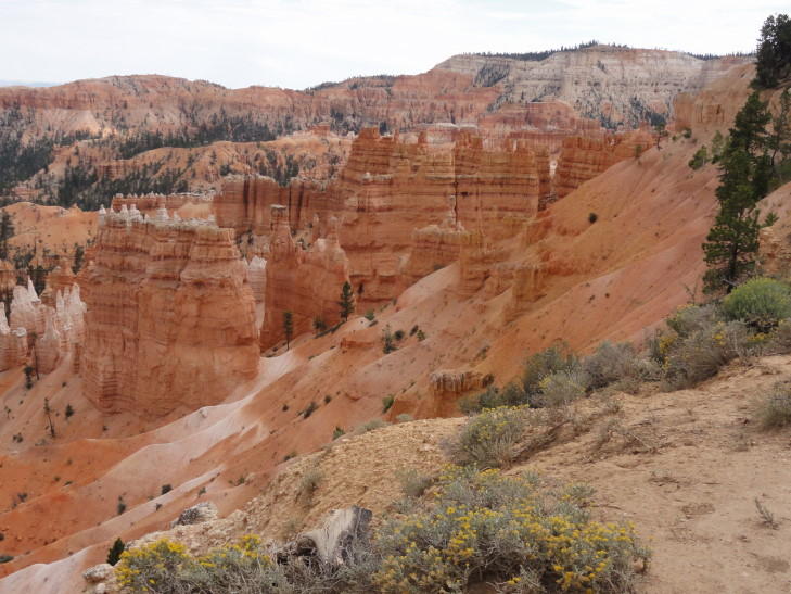
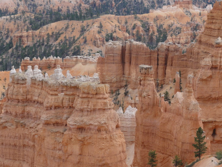
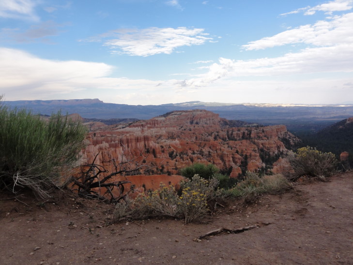
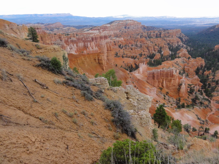
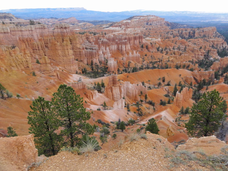
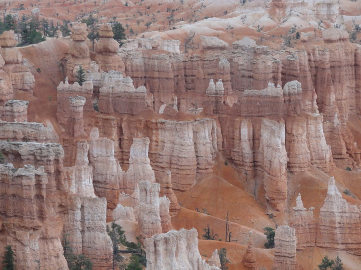
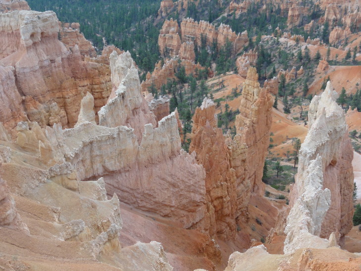
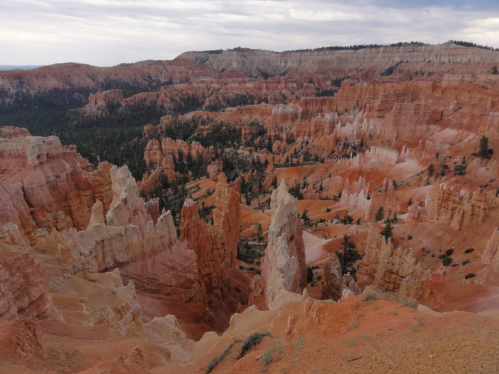
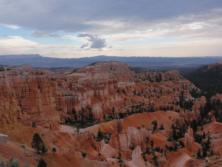
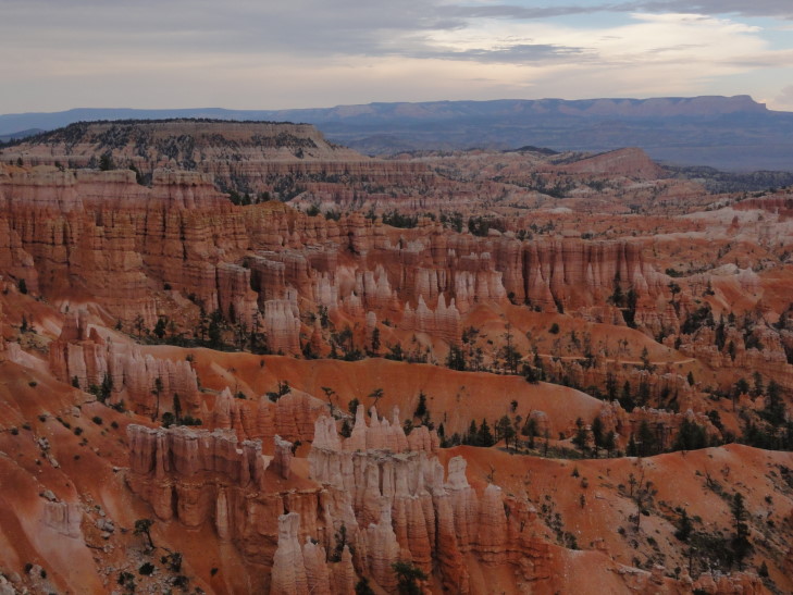
As we were unpacking I could hear the wind outside really picking up. Genetta and I walked out to the rim of Bryce canyon, called Bryce Amphitheater. WOW. Red, white, brown, and black rock layers arranged in spire after spire (called hoodoos). Beyond that a mountain (turned out it was Navajo mountain, 82 miles away). The wind had picked up due to a thunderstorm off a short ways in the distance. As we were walking around and taking pictures the thunder started rolling in and large droplets falling. By the time we made it back to the cabin it was actually hailing tiny pea-sized hail! The thunderstorm lasted an hour or two, I’m not sure how long because we all fell asleep — we needed the nap though.
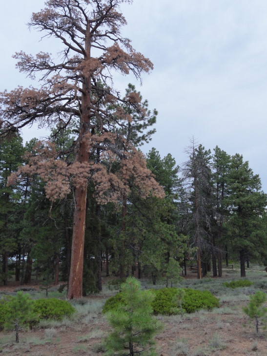
After our nap Michelle and I walked back to the rim. We first walked to Sunset Point to the south, then back past the trail to the cabin to Sunrise Point to the north. We admired not only the canyon’s contents of amazing spires and such but also the pine forest along the rim. There were quite a few dead trees, always the tallest, that looked like they had been struck by lightning. Rough life!
How were the spires (hoodoos) formed? The whole region had been flat but then over time water cut gullies. These later widened and nearly joined other gullies to form “fins.” Over time these fins had cracks appear along their length causing rows of the spires. Trees clung to the cliff face as well as some even growing on the spires themselves. The spires are huge, many well over 100′ tall. Trails wind down into the canyon but we’re not certain if we’ll (and by that, I mean probably I’ll) be trying one yet or not.
We headed back to the cabin, by this time freezing cold — temperatures in the 60s with a brisk wind. We all went to the lodge to see about dinner. The main dining area was a bit too fancy and expensive for our tastes — things like duck and such and most entrees in the $25 – 30 range. OUCH! So, we went to a little pizzeria they have behind the lodge called Valhalla Pizzeria. Michelle and I had lasagna, Genetta pizza, and Addison wings. They also had hot chocolate which was appreciated.
Headed back to the room to choose pictures for the blog. Then Addison and I headed to the lodge’s lobby for our WiFi where I could bang out this entry, including narrowing the hundreds (274 tonight) of pictures down to 20 or 25. It’s a good thing we’re in the digital photography era now, I’d go bankrupt buying and developing film!
