Woke up and headed to McDonalds for breakfast — we tried to get in at this crepe place but the line was long and slow. They call biscuits biskits here. Anyhow, I had promised to take Addison to a few shops so the four of us set off.
We stopped at a store that sold toy soldiers among other things. They had some amazing dioramas set up and carried various brands like W. Britain, King & Country, and John Jenkins. After a little deliberation he settled in on some 18th century soldiers wearing snowshoes. Turns out that was a fantastic choice as they were from the Battle on Snowshoes (March, 1758, part of the French and Indian Wars subwar of the Seven Years’ War) and the two he chose were French-loyal Native Americans. Even cooler is that the battle took place mere miles (kilometers, whatever!) from Fort Ticonderoga — which we’ll be visiting on Tuesday.
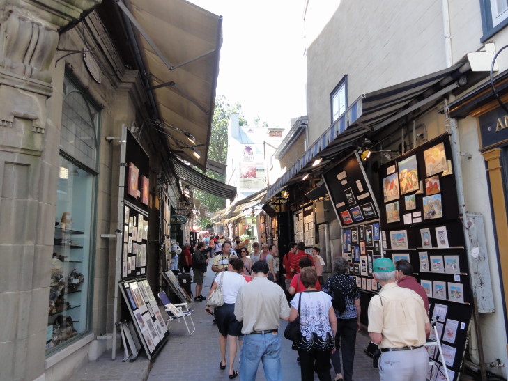
We stopped in several other shops, myself looking for a Canadian-theme cow. Tall problem. Moose? No problem. Beavers, bears? Easy peasy. But no such luck for cows. As we walked through the town I took advantage of the gorgeous weather (upper 70s tops, with blue sky punctuated by the occasional cloud) to snap tons of pictures, many of which were re-shoots of ones taken during yesterdays terrible gray sky. Though I can’t complain too much about yesterday — at least the rain totally held off, even through the 10p Le Moulin a images 3D presentation.

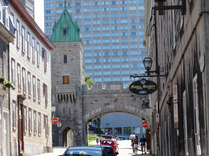
View down a street, note the white structure which Le Moulin a images 3D was projected onto as well as the gorgeous blue sky!
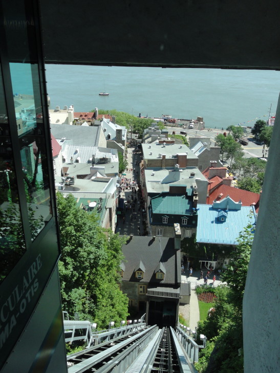
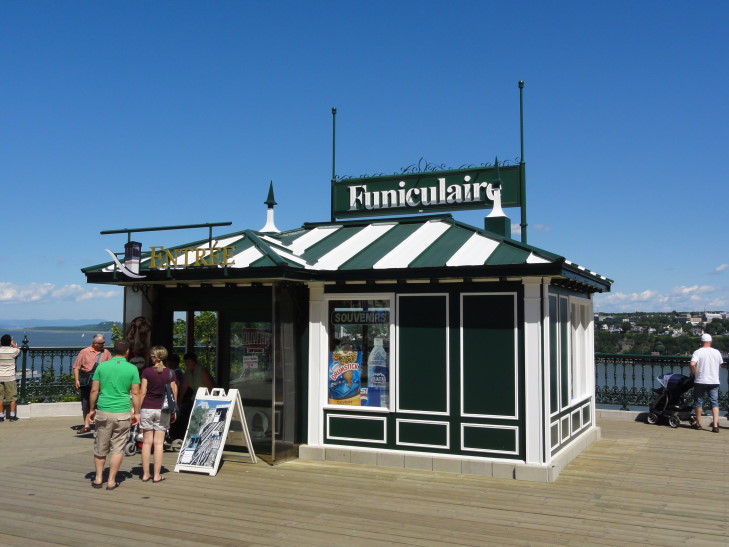
From the Dufferin Terrace we took this cliff side elevator called the Funiculaire down to the lower old city, Basse-Ville. The Funiculaire was built in the late 1800s (1879, I think?) and had been upgraded and changed over the intervening years, most notably removing the covering and making it a nice glass-bedecked elevator, basically. This afforded wonderful views of the old city.
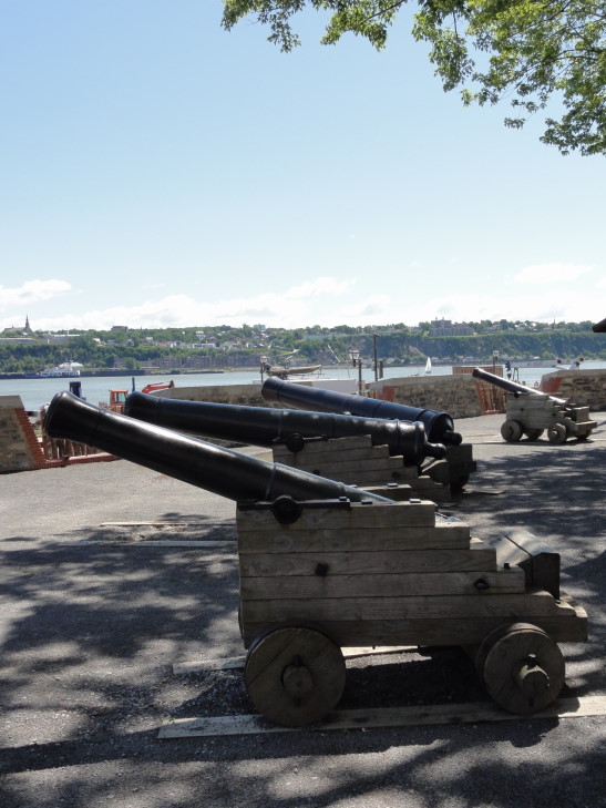
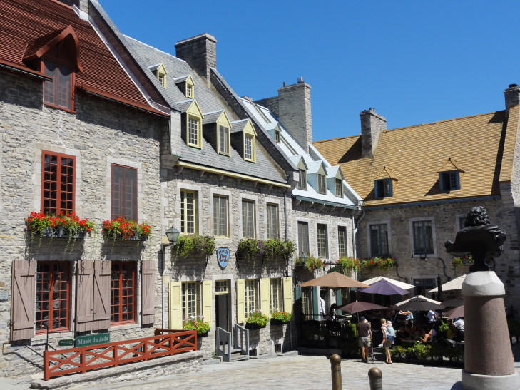
The old city contains the Place Royal, the spot where Samuel de Champlain founded Quebec on July 3, 1608. More than even the upper old city, Haute-Ville, this area looks and feels like a European city. Twisty, tight streets, plenty of cafes with outdoor seating, tiny charming parks, etc. We first visited the first defensive position of the settlement (built in 1691), La Batterie Royale, where there were some cannon set up and some great views looking back at Le Chateau Frontenac and forward to the St. Lawrence.
Littering the lower old city, however, were stands and stages erected for the coming Festival of New France, starting just a few days after we leave. It was kind of a bummer because they were erected in front of many nice photo opportunities but what can you do?

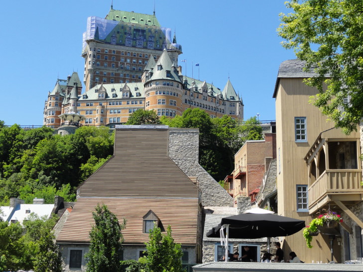
Dodging the stages and other festival structures, a nice shot of Chateau Frontenac with Basse-Ville buildings in the foreground
We went to a store that sells items made in Inuit co-ops up in the new (as of 1999) territory of Nunavut. They had the coolest map there and the proprietor was nice enough to let me photograph it. Michelle found a really neat carved owl that just looked so happy that she had to buy it. I finally found the inukshuk that appealed to me as well. Altogether it wasn’t too expensive, and is one of the few souvenirs I have bought (other than our magnets, of course) on this trip.
The guy at the Inuit art store pointed us to a pizza and pasta place in the adjacent square for lunch. We all had pizza which was quite good — though it used swiss instead of mozarella cheese!
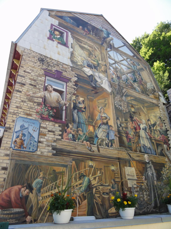
Afterwards we walked around the old lower town a bit more. There was this incredible mural painted on the end of a multi-story building made to look like the building’s wall had been cut away, revealing a scene from the past.
We went into a store that sold maple products. I was this close to buying some maple cotton candy but ended up with some soft-server maple syrup icecream that was absolutely delicious. Not only that, but they put a piece of maple syrup candy on top. Heaven.
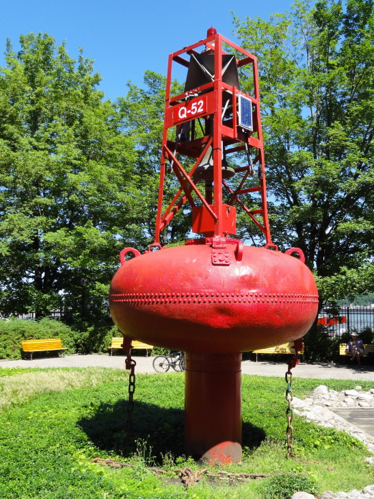
Once we finished eating that the rest of the family relaxed on a bench while I tried to get to the riverfront for some pictures. I wasn’t able to, unfortunately, because that portion of the riverfront was Canadian Coast Guard land and off-limits to people like me. I did get to check out a neat park that contained examples of several types of navigation buoys, from small river ones to larger ones used in more open waters, however so it wasn’t all a waste.
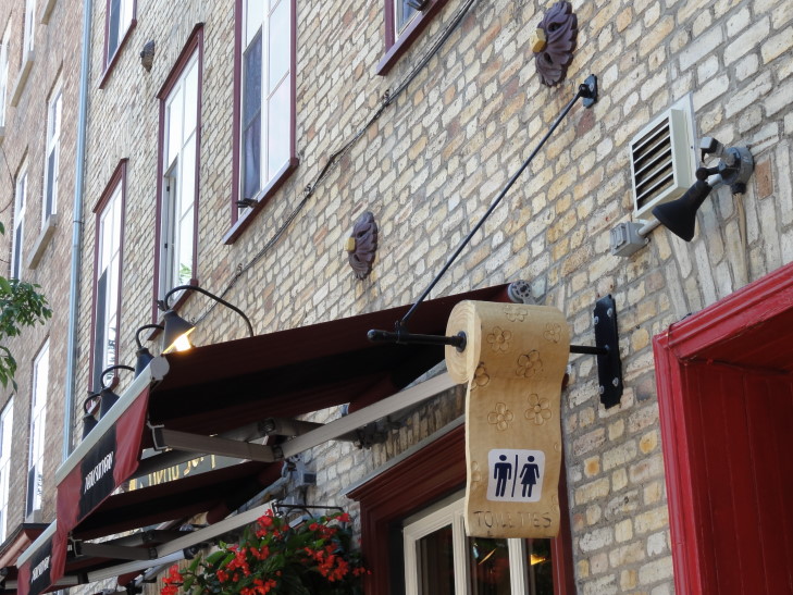
By this time I really had to use the bathroom but the only one we could find was a shared one — no kidding. That’s just a little too continental for me, and we were pretty much done with the visit to the lower old city, so we headed back up via the Funiculaire ($2 per person — much better than having to walk!).
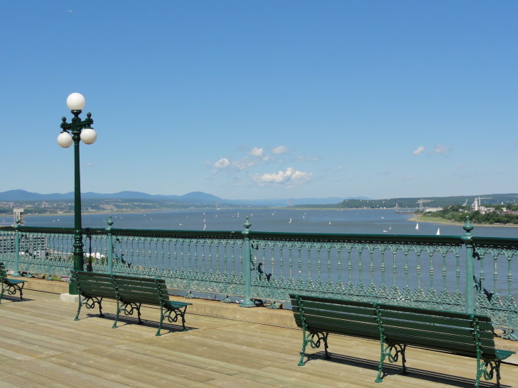
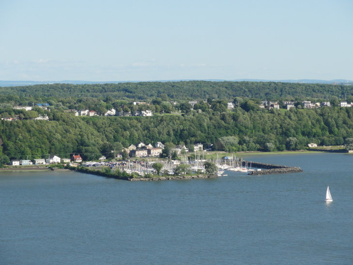
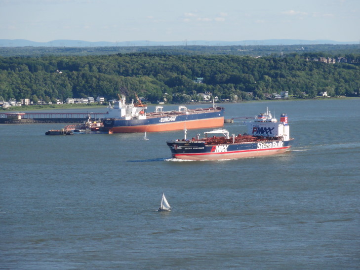
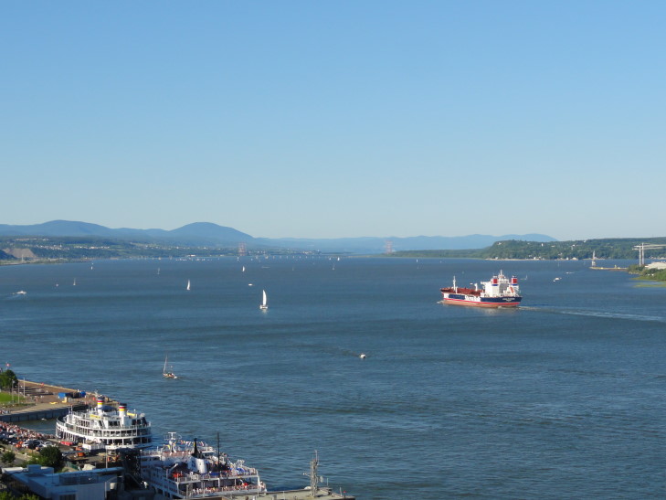
Once there I took some time to take many photographs of the Chateau Frontenac as well as the gorgeous river below covered with many small sailing boats and the occasional large cargo ship. I love the age of digital photography where wasting film is no longer a concern! As I was walking back from one end of the Dufferin Terrace Genetta met me and said that Michelle and Addison were irritated I took so long. I felt kinda bad, but man, it was such a nice day for photography of that wonderful view.

Chateau Frontenac from Dufferin Terrace -- note the new copper plating that hasn't tarnished to green yet
Headed back to the room only to find that it hadn’t yet been cleaned. So we headed back out, this time to the Citadelle (quick fact: citadelle comes from citadella, Italian for “small city”). This involved walking up a pretty brutal hill running between Rue St. Jean and Rue St. Louis, making the family a might bit grumpy. We then headed west along Rue St. Louis to this wonderful park just short of the Port St. Louis, one of the city wall’s gates. The whole family sat on a bench enjoying the nice breeze that had picked up and even occasionally nodding off. A wedding party drove by in a limo honking the horn repeatedly. Many in the park gave a cheer and clapped. Really neat.
Arising from our stupor we continued up a small road to the Citadelle. In front there were two guards in beaver fur caps doing their absolute best to stand still. Though the weather was nice I bet they were pretty hot and it must’ve been unpleasant at the very least. Then entrance to the fort was a curved walkway meant to prevent cannon fire through the outer and middle walls to the center of the fort.

La Citadelle guard -- must be a very tough job to stand still wearing that hat in the (relatively) hot summer sun
There were several plaques along the walkway explaining that the French had built a defensible garrison at the east end of the current fort in 1693. They later added some towers out in the Plains of Abramham to the west as well to help protect the easiest approach to Quebec. The fort was steadily improved, especially after 1759 by the British in their desire to retain hold of Quebec. Enthusiasm for fully funding the work ran low, however, until an attack by the rebel colonies in 1775 moved it up quite a bit in priority. The current fort was largely built between 1820 and the 1840s as further threats from France and the United States concerned the British. The fort (and upper old city) sits on a promontory of land called Cap Diamant or Cape Diamond. It got its name because French explorers found rocks they thought were diamonds and sent them back to France — turns out they were quartz. Oopsie!
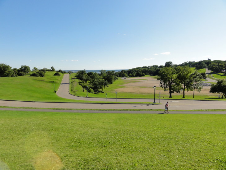
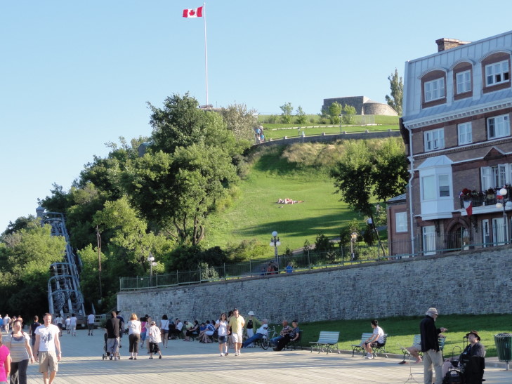
The family wasn’t so keen on doing the guided tour nor viewing the “Ceremony of Retreat” that the guards do every night at 6p to close the fort so we headed back down to the upper old city via the Governor’s Walk. The Governor’s Walk was opened in the late 1950s and connected Dufferin Terrace to the Plains of Abraham (site of the famous 1759 battle in which Britain captured Quebec). What wonderful views! Addison also saw some graffiti about “Quebec Libre” which I assume were left by separatist leaning folk.
Now back in the upper old city we walked to a store that Addison had wanted to buy a wooden sword from. That done, we headed back to the room to rest a bit. We set out to that crepe place — still a long and slow line. So we decided to go to a restaurant called Saint James or somesuch. Addison had steak but the rest of us built our own pasta. Though a bit sweeter than I think the sauce should’ve tasted my fettuccine with alfredo sauce, bacon, mushrooms, and scallions was pretty darn good. Michelle had dessert afterwards and thought the chocolate mousse pie was a bit off.
Genetta went back to the room while Michelle, Addison, and I went to get Addison some candy we had promised the day before. Returned to the room to sleep and blog. Tomorrow we return to the United States after one last shot at that infernal crepe place. Though I will miss Canada I’m sort of looking forward to being back in the old U.S.A. Still, I have come to understand why Quebec is called “La Belle Province.” The city alone earns it that title. I hope to visit Montreal properly one day as well as points east towards Saguenay fjord and Gaspe.
