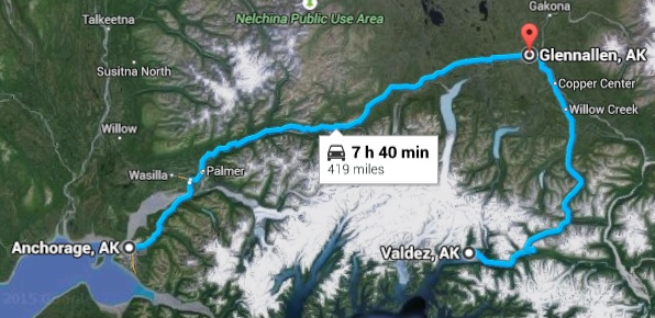
We woke up early in an attempt to get out by 8a. While we didn’t get out until a little after 9a I’ll count it a win, especially as we had already eaten breakfast at the hotel. Headed out of Anchorage north on AK1 then east (still on AK1) through the Mat-Su region of the state. Mat-Su is named after the two main rivers in the valley, the Matanuska and the Susitna. The area was settled by people from the Midwest in the 1930s, transplanted as an experiment to see if they could feed Alaska when their own farms had failed and been foreclosed upon. The region is known for its large produce, holding several world records including a 100+ pound cabbage.
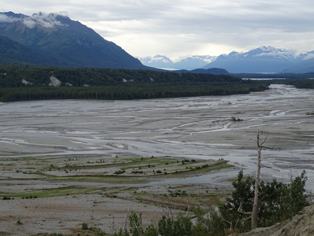
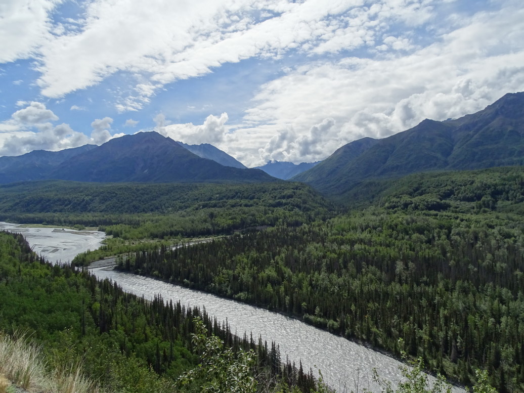
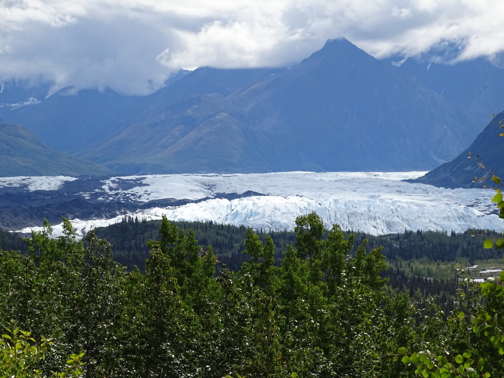
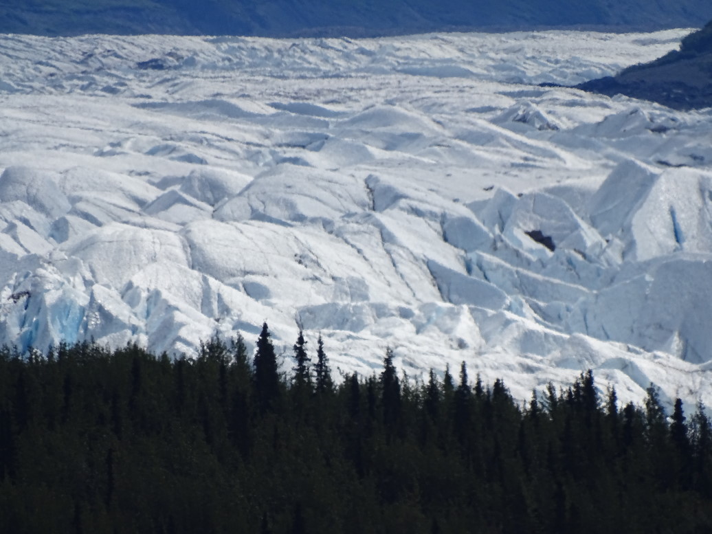
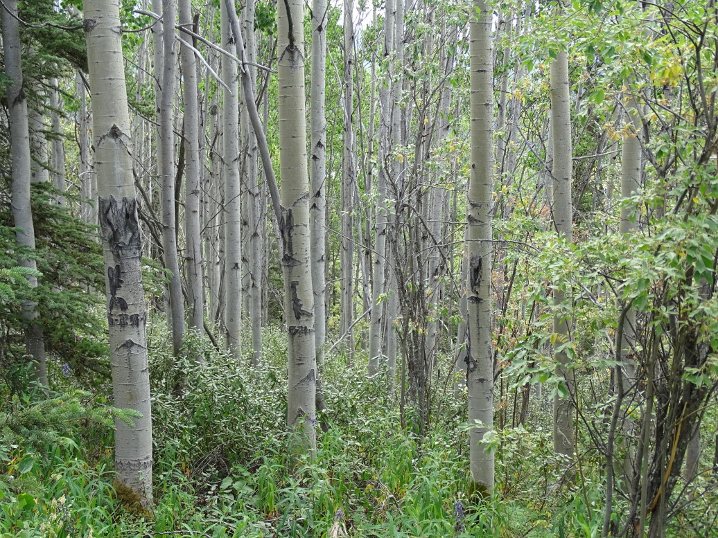
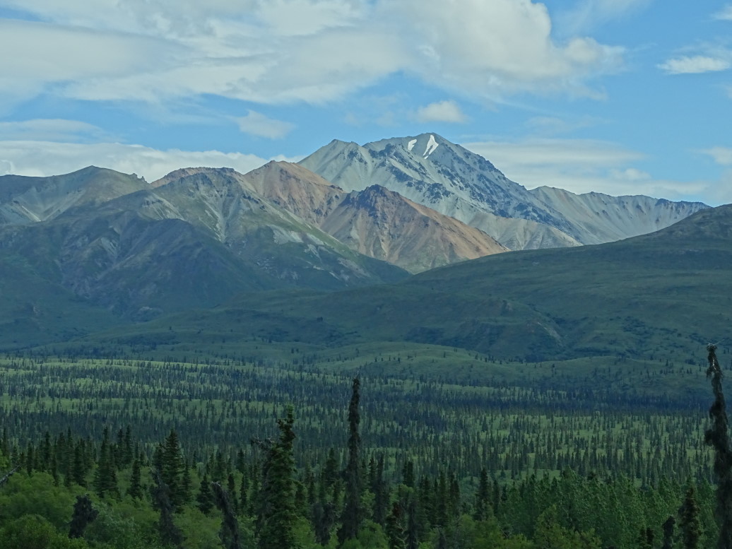
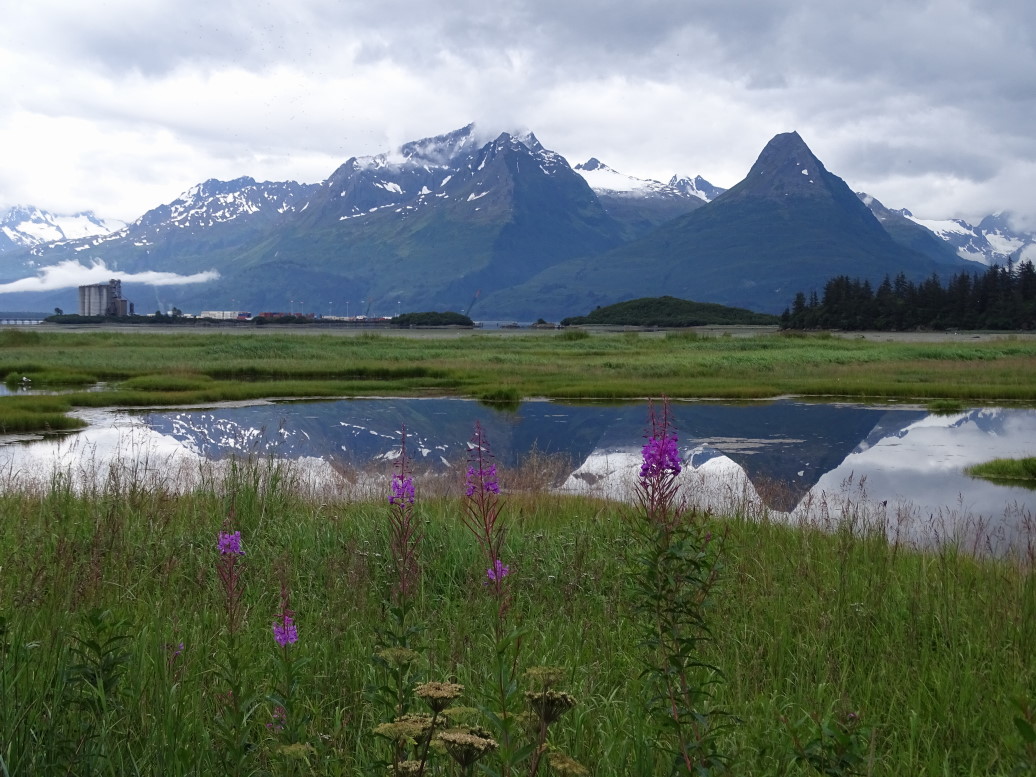
We followed the Matanuska River east, a broad and meandering river colored milky white from glacial discharge of “glacial flour” — ground rock. South of the Matanuska are towering, jagged peaks many still sporting snow. Three main glaciers also flow from the range, including Matanuska glacier — a large one at 25 miles long and 4 miles wide! The highway passed within a mile or two of it. We took a nice one mile walk around a glacial moraine that offered decent views of the glacier as well as a very pleasant walk through a birch forest. We also learned that not only are their traditional ice-based glaciers but also rock glaciers. Very cool.
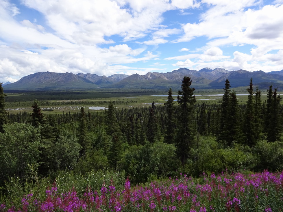
Leaving the viewpoint we passed a school that had the most amazing view of the glacier — how do those kids concentrate during school?! I’d stare out the window all day. Decided to eat at the Grand View Lodge’s restaurant as it was getting on 1:30p. Solid food, I had a pastrami on rye and potato salad. Michelle had a BLT, Genetta and Addison Philly cheese steaks. Addison also had a strawberry smoothie that was very tasty (he let me have what he couldn’t finish). Hopped back in the car and continued our travels to Glenallen where the night’s lodging was. The land got a bit flatter though the large peaks of the Chugach still were to the south. It was mainly sparse evergreen forest dotted with small ponds and major hills / small mountains.
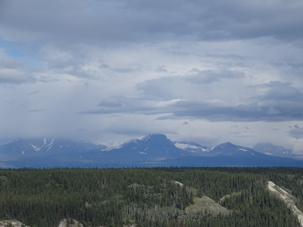
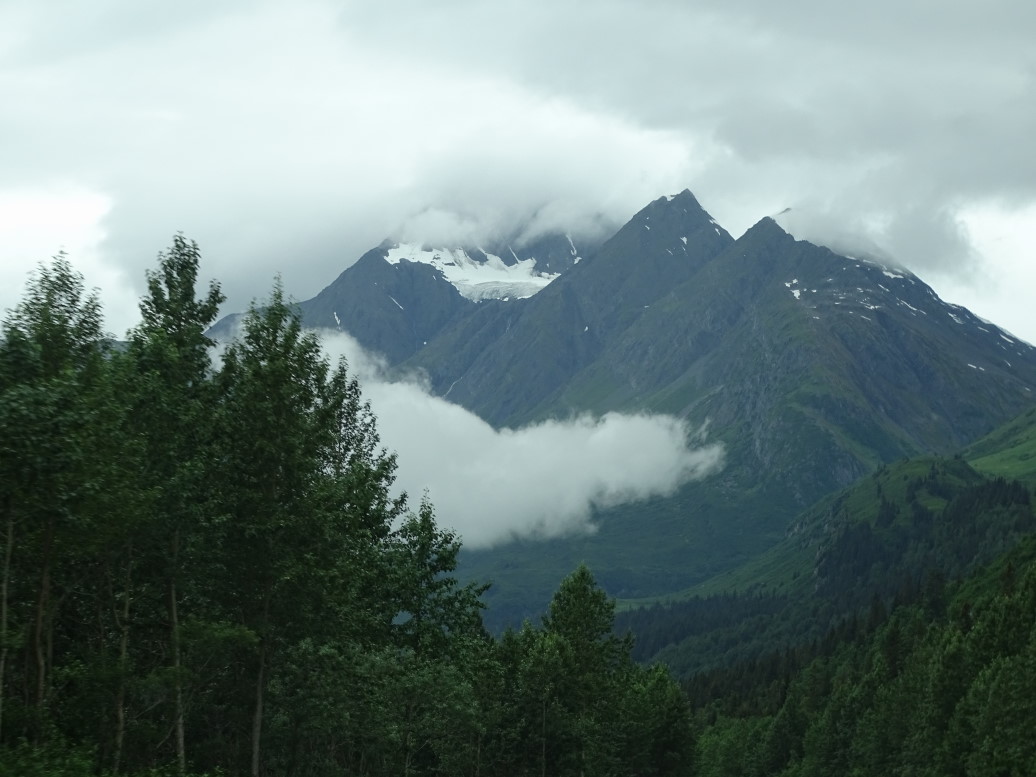
Once we neared Glenallen the peaks of the Wrangell-St. Elias National Park loomed large — their group was mainly in the 12k – 16k range, with Mount Drum being particularly impressive as a strata-cone volcano. Sadly clouds obscured the top, allowing only peeks at what must be an amazing sight. Turned right on AK4 (Richardson Highway) and shortly were at our lodging for the night — the Aura Borealis Bed & Breakfast. After a brief introduction to our rooms by the proprietor — a very nice lady accompanied by her two dogs (Cleo and Ming) — we headed out for the Wrangell-St. Elias National Park visitor center just a few miles down the road.
The visitor center wasn’t much to write home about but it was OK. The National Park isn’t very accessible to most people, however, as there are only two very rough roads into the interior so most visiting of the park is done via fly-ins by bush pilots. Did learn that 10 of the 15 highest peaks in North America were in the park, including 18,000 foot St. Elias — the second tallest peak in the United States. There is a glacier in the northern part that is the longest interior glacier at nearly 75 miles long. There is also another glacier the size of Rhode Island, an ice field 100+ miles long, and the park itself is by far the largest in the national park system. Visited the overlooks and then headed back onto AK4.
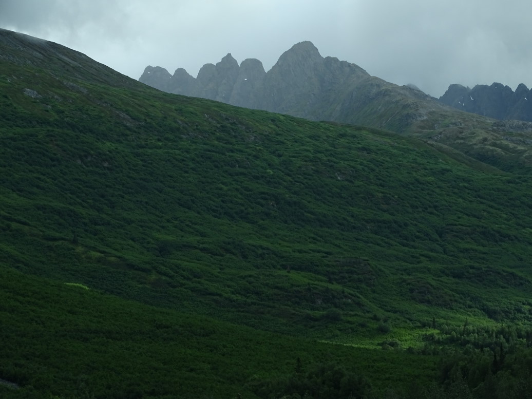
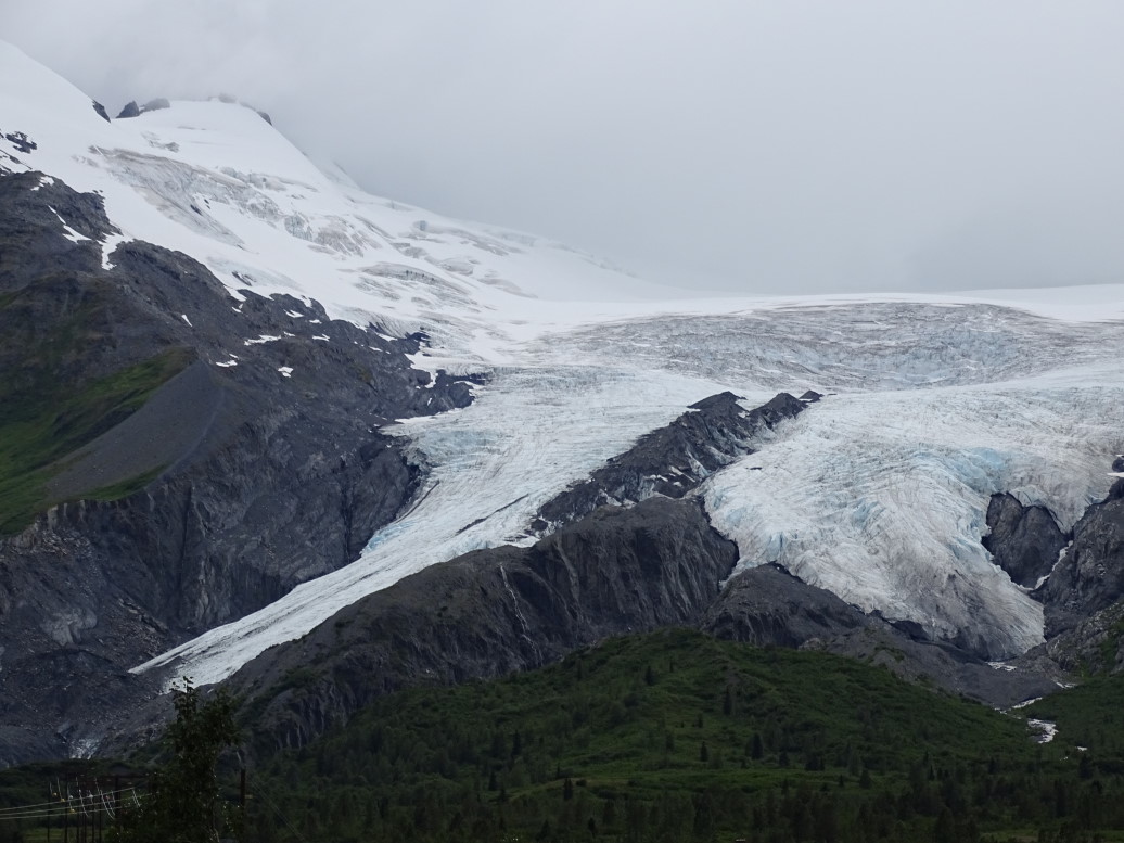
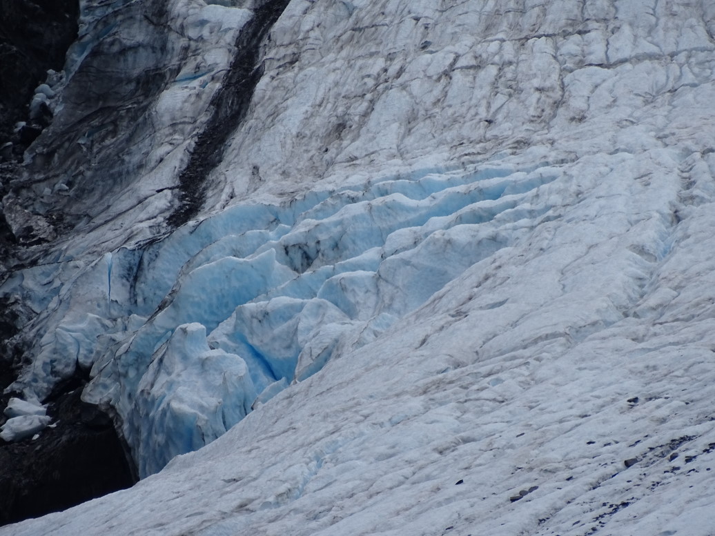
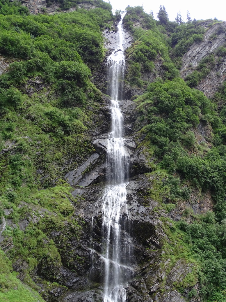
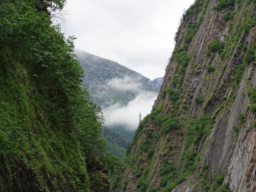
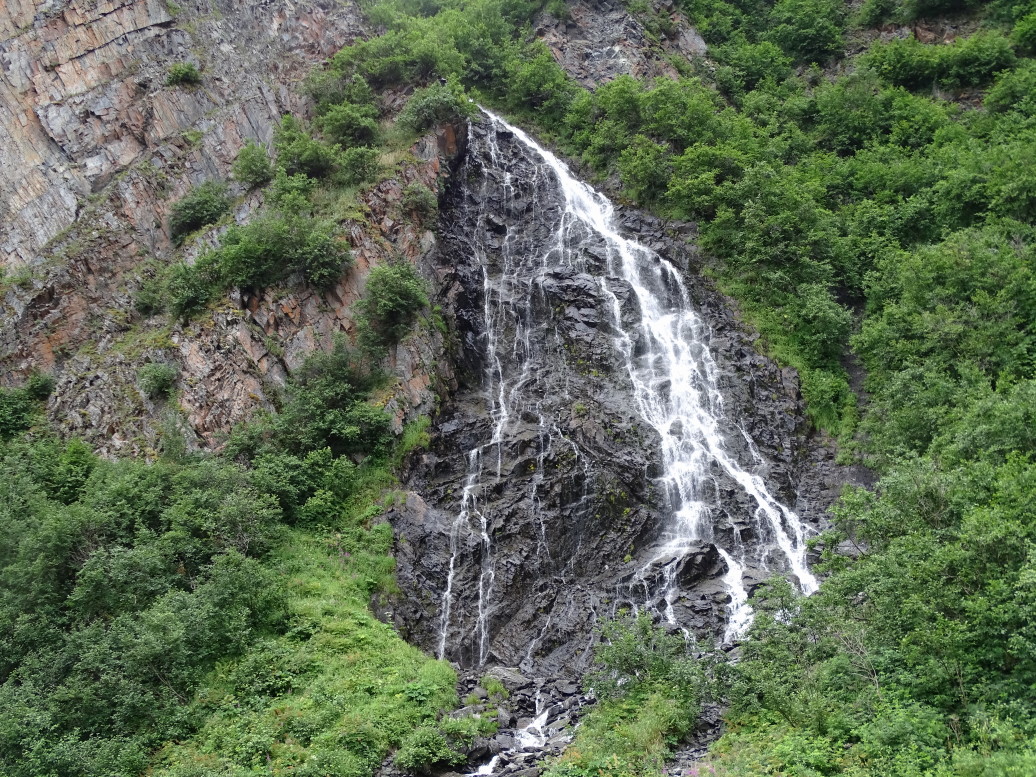
We headed towards Valdez on the Richardson Highway (AK4) about 6p. We had heard from several people (including the B&B’s proprietor) and guide books that the 120 miles drive was not to be missed, particularly the final 30 to 40 miles. They weren’t wrong! What started as a fairly ho-hum (by Alaska standards, still beautiful) drive turned amazing with close by glaciers such as Worthington (which we were able to walk fairly close to) and the lush green treeless peaks surrounding Thompson pass. On the far side of the pass there were several small blue lakes then the road descended steeply into a narrow canyon called Keystone Canyon that sported several gorgeous falls including Bridal Veil Falls and Horsetail Falls.
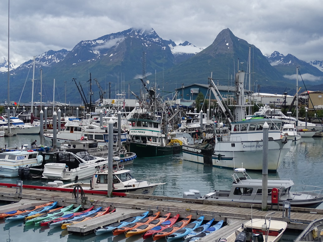
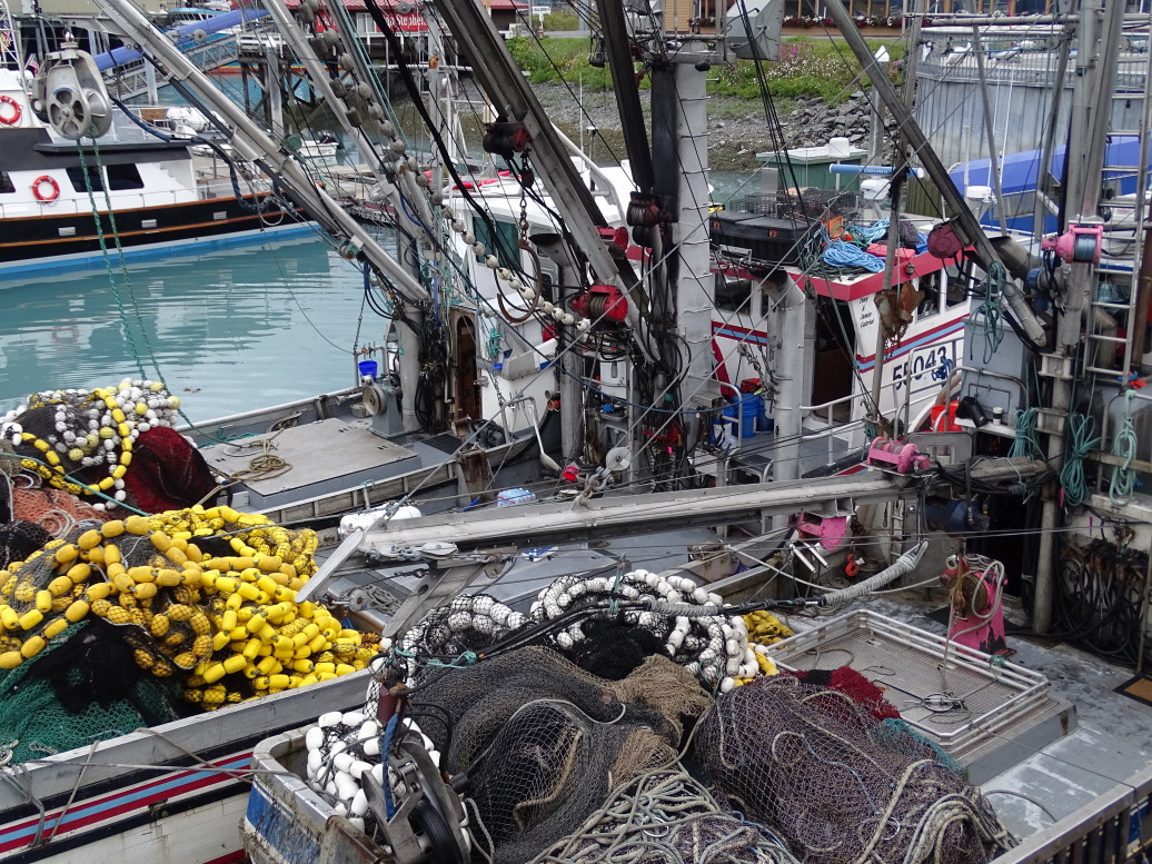
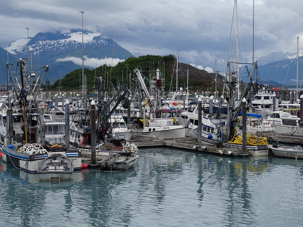
Finally the road terminates at the port of Valdez — very much a fishing town along with the terminus of the 800 mile Alaskan oil pipeline. The harbor is stunning even in the cloudy, on again / off again sprinkles, as it is surrounded by 5000 foot peaks sporting glaciers. The harbor itself is very milky blue as it is mostly fed by glacial water. We decided to eat Chinese at Fu Kung Chinese Restaurant. Addison and I had Mongolian beef, Michelle sweet and sour shrimp, and Genetta shrimp fried rice. All was great, as were the appetizer egg drop soup and egg rolls. Finished with desert — chocolate mousse pie and also this odd ice cream wrapped in rice something or other for Genetta.
After we finished dinner at about 9:15p we walked to the harbor to take some pictures before heading back up AK4 to our B&B. Saw a moose along the way as well. Arrived at the B&B at nearly 12a. An incredibly long day (the longest of this vacation driving-wise) but also saw some incredible scenery.
