Note: After the first picture something must’ve gotten on my camera lens that I failed to catch. Grrr…
We didn’t try to get up too early, given the very long day prior in Yosemite. We had breakfast buffet at Tenaya Lodge. It wasn’t bad at all, and they had a great variety of breakfast items from usual suspects of cereals, breads, eggs, bacon, and sausage but also cheese, fruit (strawberries and blueberries, yum!), quiche (with an unnecessary accent aigu on the e), and french toast (with brown sugar on top, double yum!).
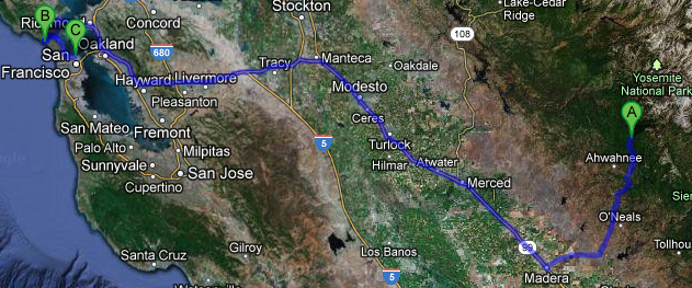
After checking out we headed towards the Central Valley of California via route 41 (with a quick stop for sweet tea at McDonalds). Wooded mountains gave way to scrubby hills before finally settling into the very flat and wide valley. We traveled 99 from just north of Fresno all the way to just north of Modesto, stopping at McDonalds for lunch in Merced along the way. This part of the drive passed pistachio groves, corn fields, and tons of other crops I wasn’t sure of. In one field we even saw a very well defined dust devil that rose at least a hundred feet in the air. Really, really cool, I had never seen such a wonderful specimen of dust devil before.
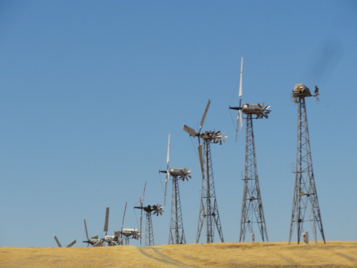
North of Modesto we turned on to interstate 580 which took us out of the Central Valley by going up and over a part of the coastal ranges. We went past Livermore and the thousands of windmills lining the ridges and generating power. So neat, I remembered seeing them almost two decades ago with Michelle. Traffic really picked up in Oakland, where we opted not to take the Bay Bridge but rather take the bridge in Richmond just south of San Pablo Bay (the very same San Pablo Bay that Les Claypool is talking about in his songs) over to the Marin County peninsula north of San Francisco.
After passing San Quentin, California’s oldest prison, we turned off of route 101 and on to route 1 towards Muir Beach. We only thought we had seen the last of the narrow winding roads when we left the mountains for the last time! Other than Crater’s road Michelle was hard pressed to think of one worse out of all we had seen.
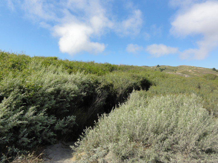
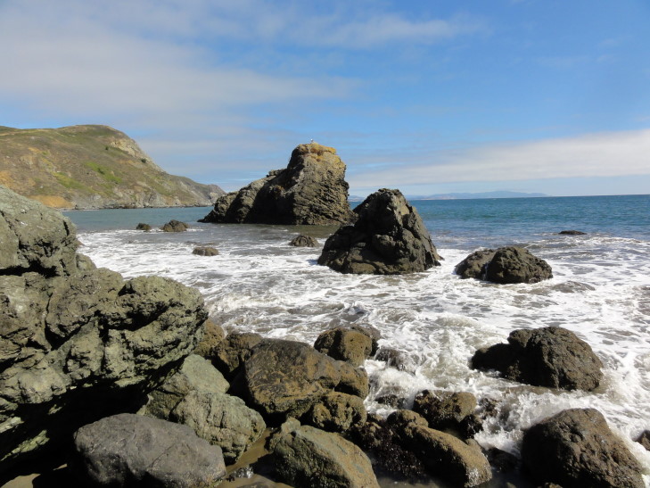
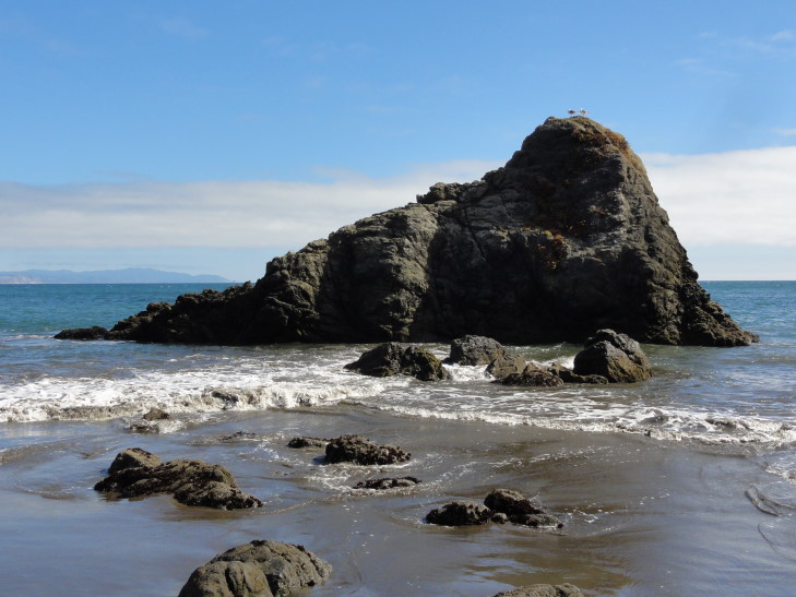
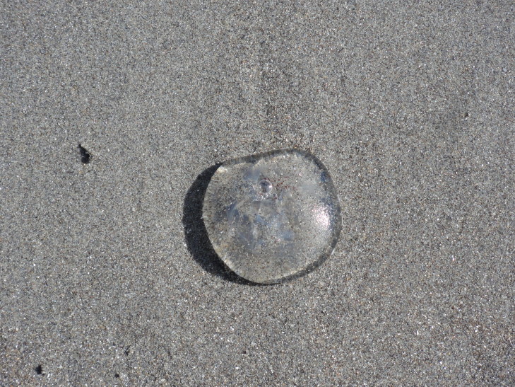
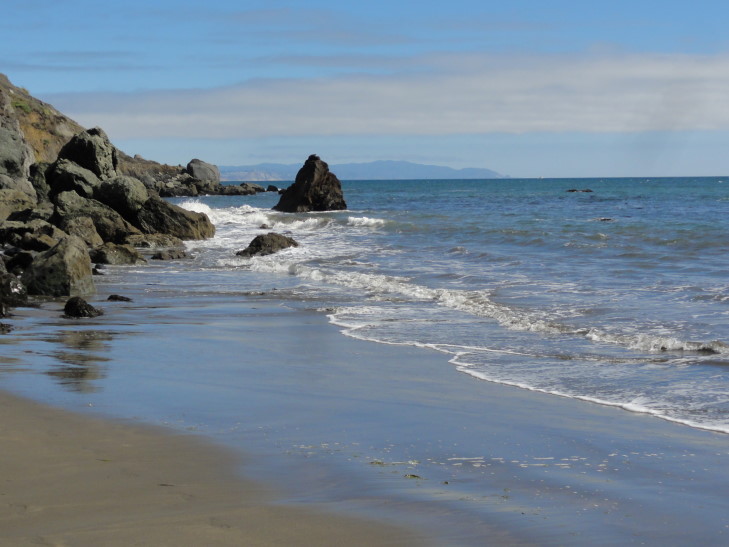
We arrived at Muir Beach and were able to easily park since it was past 3 o’clock. After a short trip via boardwalk over some marshy land, we were on the sandy beach with a couple of large rocks in the water. The biggest rock was called “Wobbly Rock” by hippies in the 1960s. Though there were quite a few people it didn’t feel crowded as the beach was quite wide. There were strands of kelp, little quarter-sized jellyfish, and lots of gull feathers strewn about the sand.
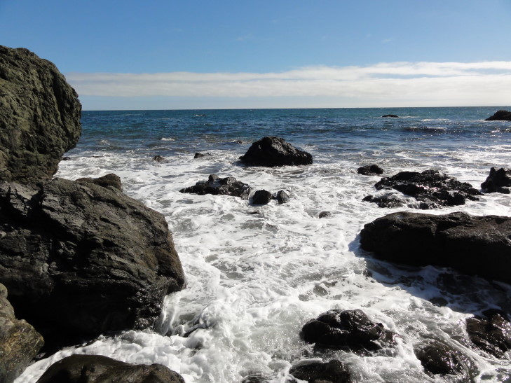
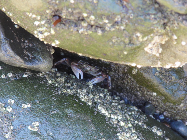
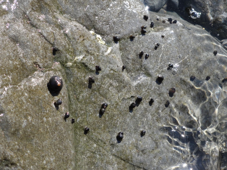
On either side of the beach was an area of rocks that extended well into the surf. Addison and I climbed about both areas looking for starfish and the like in “tidal pools”. Though the area didn’t have what I’d consider classic tidal pools, the rocks were a nice potential refuge for sea critters. After some looking we eventually saw three crabs, numerous snails, and a sea sponge or some such. Though we never did find a starfish we had a great time looking.
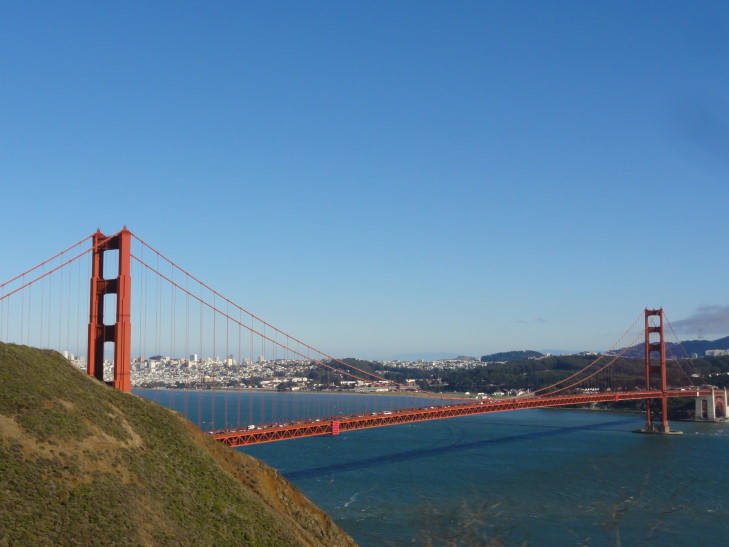
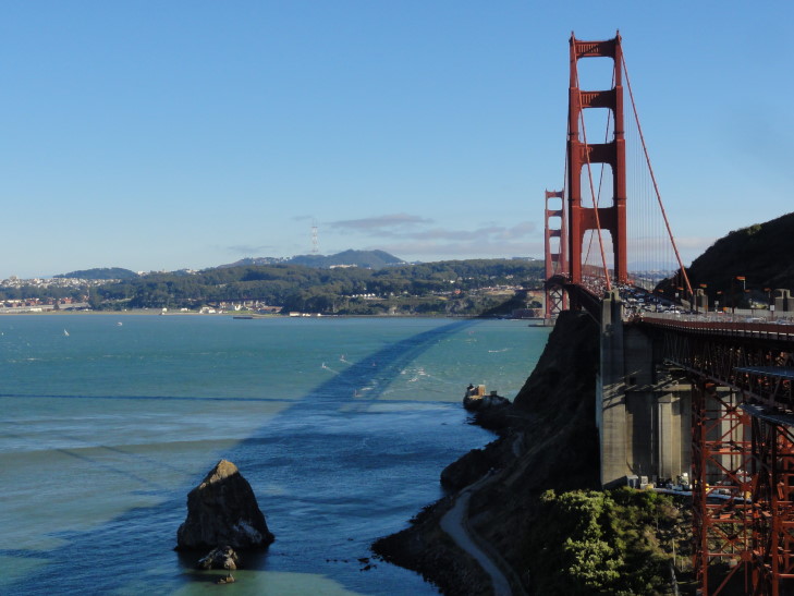
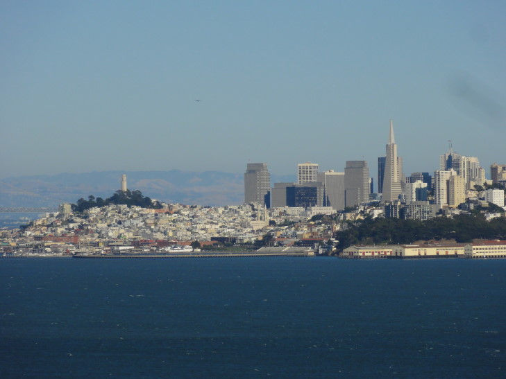
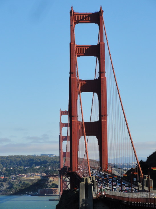
We joined Michelle and Genetta back at the car then headed back up route 1 to 101 and towards the Marin headlands that overlook the Golden Gate Bridge and San Francisco. We were unable to find parking, however, and so I was only able to snap pictures from the moving car — something I’ve become quite good at on this trip! The city and Alcatraz gleamed white, the water blue, but most amazingly the bridge and its supports red. Absolutely gorgeous.
We did end up stopping right near the entrance to the bridge so I could take some pictures. There was a walkway down a set of steps made with railroad ties (well nosed by years of use) that went under the bridge then up again on the other side to a spot that had a wonderful view of the city. I stayed a while and took pictures before heading back to the car.
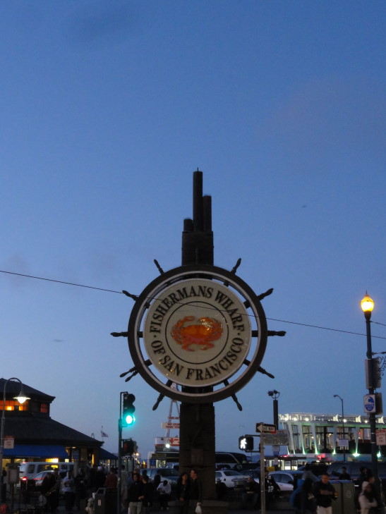
The trip into San Francisco was a bit interesting due to very heavy traffic and construction. Combine that with some of the hills (and one driver behind us that didn’t understand that one should leave room between cars — we almost rolled back on him twice) and we were relieved to turn off of route 101 (Lombard St.) and on to Van Ness and then North Point near Fisherman’s Wharf where our HIEx was located.
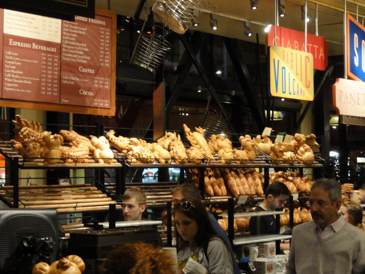
After getting settled in (and getting help from a very nice valet parking attendant as well as front-desk person) we headed out for dinner. Michelle was feeling quite cold (lots of shivering) and by the time we found dinner at Boudin (a bakery famous for sourdough bread and bread bowls filled with clam chowder, tomato soup, chili, etc.) she was much worse for the wear, barely eating and instead just laying her head down on the table. We hastened back to the room and let her rest while the kids played and I blogged.
