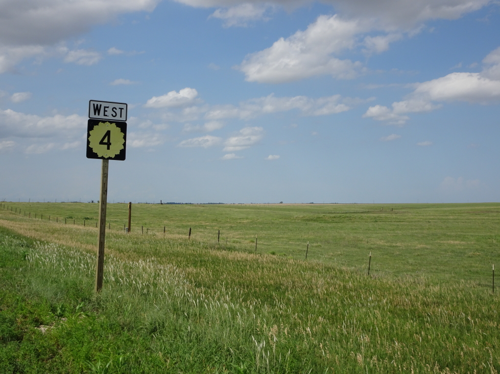
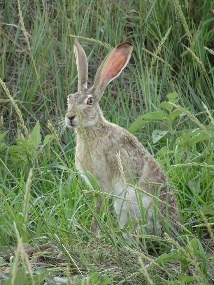
As we had a long day ahead and on a deadline we were up and out before 8a, stopping by the fine Scot eatery McDonald’s for convenience. After a quick wrong turn we recovered and headed southeast into the flat, dry scrub of New Mexico. Absent were the winding roads and stands of pine and other greenery. Long stretches of road with nary a building except in very small towns. We did see a wild something — size of a deer and looked sort of like a deer but not quite. Also saw a favorite from our 2013 trip about the southwest, the sign “Gusty Winds May Exist”. I mean, isn’t it a proven fact that they do exist? There were mountains far off in the distance, low gray humps nearly obscured by haze and dust. As we neared our first destination, Roswell, we saw on each side of the road large (fifteen feet tall at least) cutouts of cowboys facing each other. Stopped at a rest stop and stepped into the blistering heat. It was pretty decent, though, and had some kind of flag pole / sculpture in front.

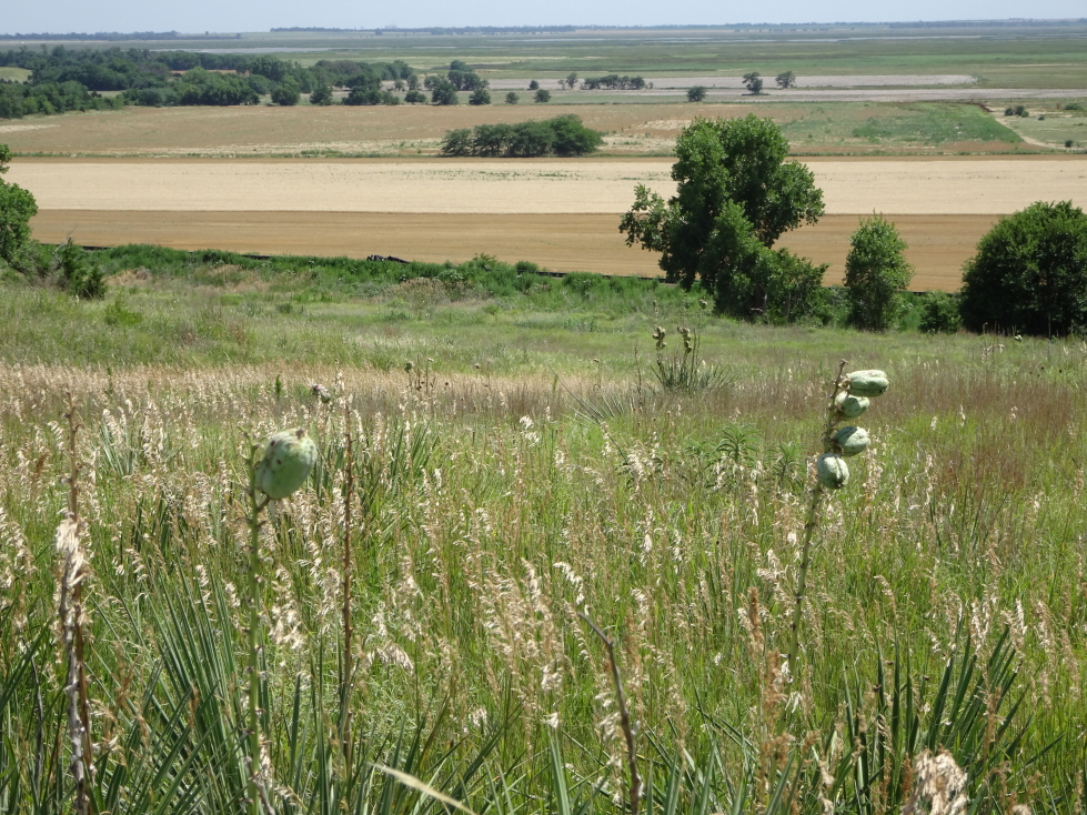
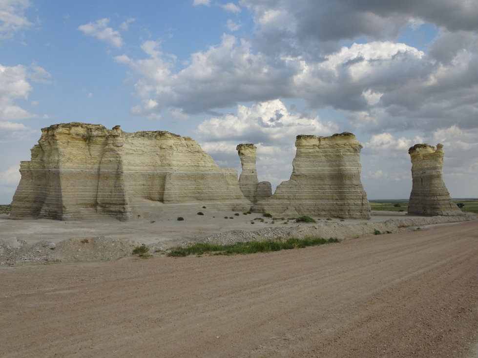
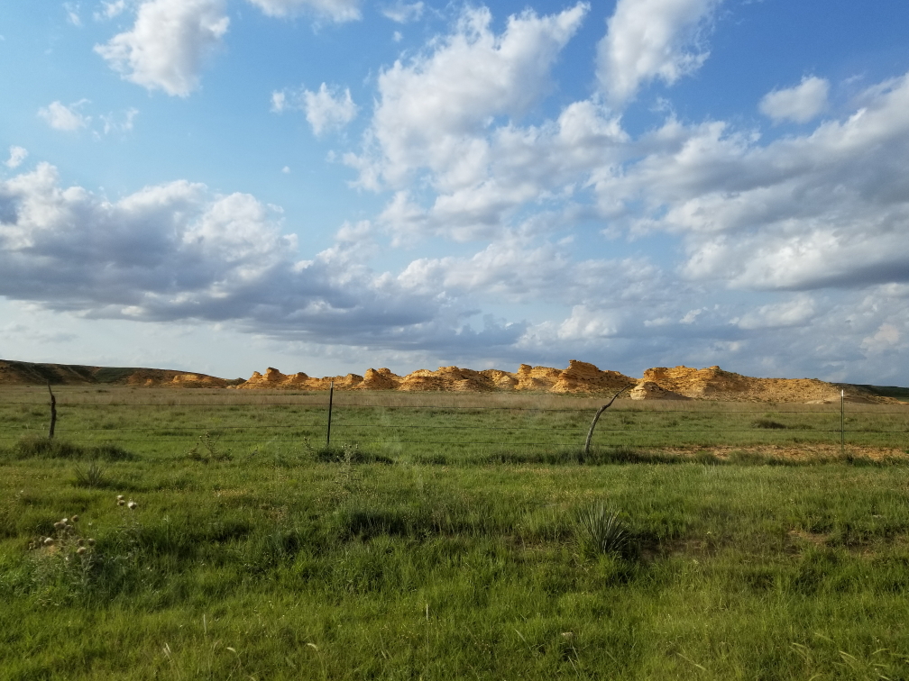
East central New Mexico terrain

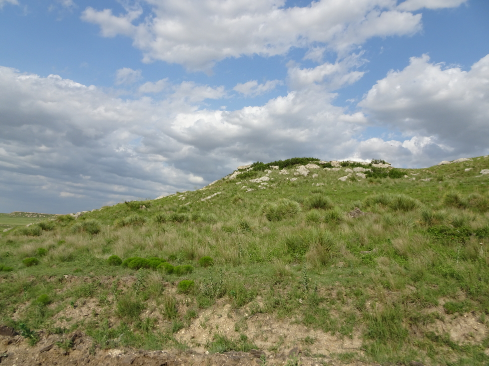
Sparse, but beautiful, east central New Mexico
After nearly three hours, at 11a or so, we arrived at the outskirts of Roswell. A strip mall on the north side of town had a delightful name — “The Landings at Roswell”. We passed a McDonald’s which had some futuristic UFO styling and buildings here and there had UFO murals and the like. Conversely, other parts of town seemed somewhat aloof of the whole UFO affair — probably owing to the town existing well before 1947 and the supposed landing and even today being a hub of activity for the energy companies in the area. We passed the New Mexico Military Institute, a beautiful complex of sandstone buildings with crenelations atop. Downtown the lamp posts were topped with alien head shaped lamp shades. We soon arrived at our destination, the grandly named International UFO Museum and Research Center. We passed some people wearing tin foil hats (literally!) and stepped into the lobby.

Roswell McDonalds with cool UFO shape

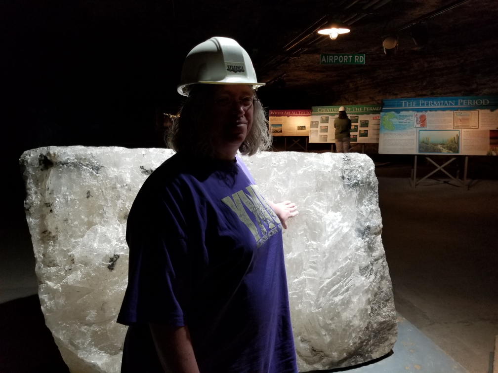
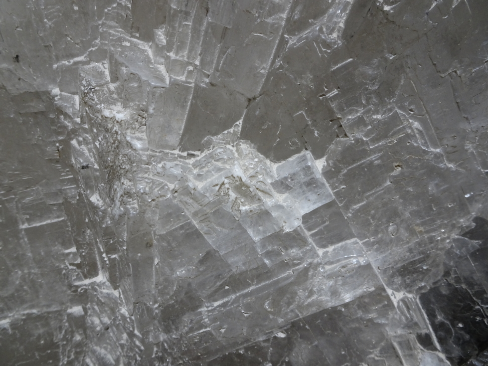
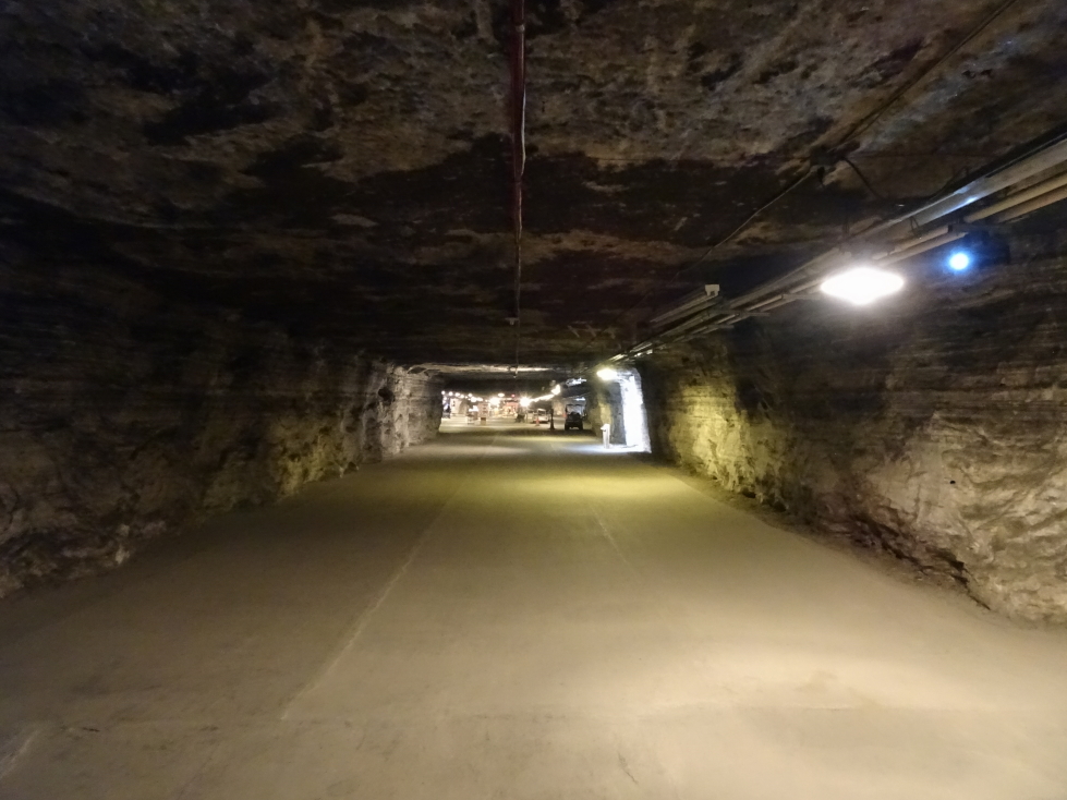
Roswell UFO Museum
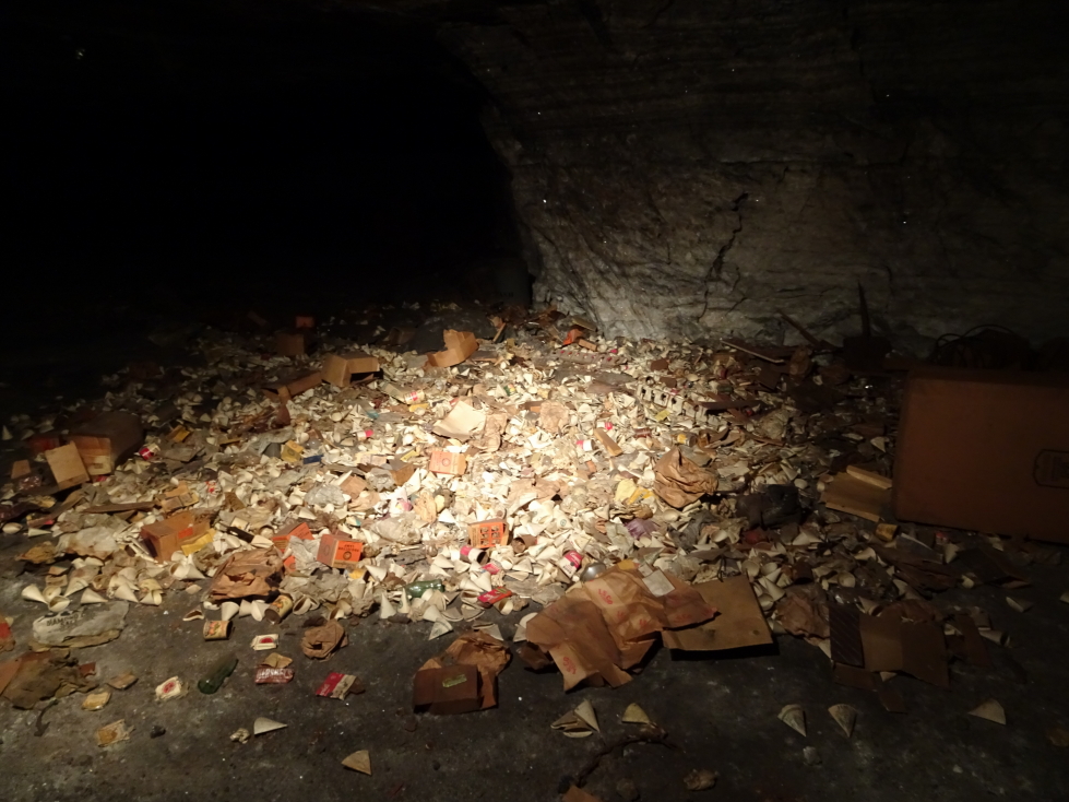
The “museum” consisted of a large room separated into various rooms via plywood dividers that covered the 1947 incident, the supposed cover up, and UFOs in general — other sightings, types of contact, art, etc. Included throughout were newspaper clippings, dioramas (including a couple of interesting ones of WW2 Germans and alien technology — I’m still bewildered by that), and a couple of displays of aliens (“grays”) that people snapped selfies in front of. There were some props from the late-90s show “Roswell” as well. Finally, there was a gift shop filled with about what you would expect, though there were a few neat things and a Coke vending machine with alien art on the front. I’m certainly not a believer, but it does seem like something happened on July 2, 1947 and there are some awfully weird actions by the government in response that certainly fueled the conspiracy theorists. It being the beginning of the Cold War I think the most likely explanation is that the government was working on something new technology wise and had to do denial / clean up. I doubt we’ll ever know. Regardless, it was a pleasant way to spend an hour or so.

Recreation of “The Day the Earth Stood Still”

Grays coming out of their saucer

Interior of the museum

I don’t even know what is happening here — Nazi saucers?!

Alien decorated drink machine
About noon we headed back north of downtown to eat at D’s Downtown Dive. It turned out to be quite excellent. Michelle had this amazing Monte Cristo sandwich that ended up being like a beignet stuffed with ham and cheese and topped with raspberry jam. The rest of us had tasty burgers with garlic Parmesan fries. Highly recommended! We got back into the car and headed to the north end of town where they had the cooler of the two Roswell signs (I had failed to take a picture on the way in) then took the bypass to the west of Roswell on our way to Carlsbad Caverns National Park about two hours on down the road. On the south side of the road was the RIAC, or Roswell International Air Center, an airport used to test airplanes as well as a airplane graveyard of sorts. As we got to Carlsbad there was a bit more vegetation and the terrain was a bit more hilly.

Mexican restaurant with alien murals

Welcome to Roswell sign on the north side of town
Just south of town we headed into the hills and arrived at the national park at around 3p. A short (less than ten miles) drive through beautiful hilly terrain with cacti and small ravines led to the visitors center. After briefly looking around the gift shop (and buying some shirts and magnets) we bought tickets for the caverns and took the elevator 750 feet down to the caverns. The other entrance is a long walk with steep grades through the natural entrance. Addison wanted the two of us to do that but there simply wasn’t time, sadly. After a quick restroom stop (yes, they carved some bathrooms out of the rock down there but didn’t harm any of the actual cave system) we took a couple of hours to walk the route through the caverns. Genetta and Addison ended up going at their own (faster) pace while Michelle and I enjoyed the cavern together.

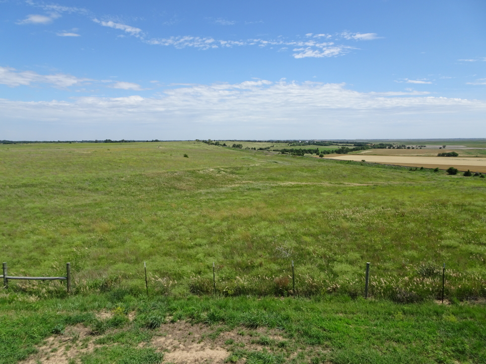
Carlsbad Caverns National Park terrain along the drive

Overlooking the Pecos valley

Carlsbad Caverns National Park visitors center
It is hard to describe how amazing it was. The main room, appropriately called the Big Room, was massive with an area of just over 350,000 square feet! Everywhere we looked there were columns, stalactites, stalagmites, clear pools of water, and other various cave features. We saw a ladder left by an expedition in the 1920s and overlooked a lower room not open to tourists. We also saw a “bottomless” pit that it turns out was only about 140 feet deep but soft dirt at the bottom muffled the sound of rocks tossed in. Formations in the cave had such colorful names like “Temple of the Sun”, “Chinese Theater”, “Totem Pole”, “Rock of Ages” etc. It was nice and cool down there and surprisingly few visitors. I guess it being the evening of July 4th cut into the numbers a bit.

Carlsbad Caverns cave formations

Carlsbad Caverns cave formations

Carlsbad Caverns cave formations

Carlsbad Caverns cave formations

Carlsbad Caverns cave formations

Carlsbad Caverns cave formations

Carlsbad Caverns cave formations

Carlsbad Caverns cave formations

Carlsbad Caverns cave formations

“We’re falling down, HIGH FIVE!”

Dolls Theater formation in Carlsbad Caverns
About 5:45p we ascended via the elevator to the visitors center. The cafe there was about to close but we luckily got some Mexican food to eat (queso with chips, tostadas, soft tacos) just before they did. The gift shop was still open, however, and a metal bat caught Michelle’s eye. Uh-oh! One metal bat later Michelle and Genetta headed outside while Addison and I ran through the museum where they had a cool 3D map of the caverns. After leaving I spent some time taking photos of the beautiful view into the flat lands beyond while the rest of the family walked toward the amphitheater. I followed, descending the winding path to the amphitheater made entirely of stone including the benches overlooking the natural entrance to the cave.

Neat 3D map of Carlsbad Caverns in the visitors center

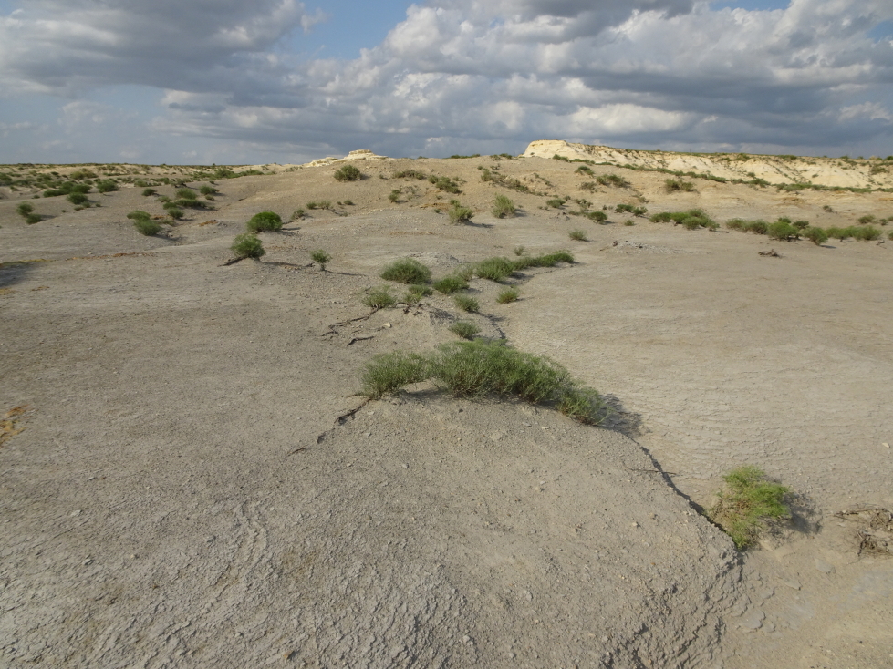
Chihuahuan Desert plants

Natural entrance to the caverns with bat-watching amphitheater
A short while later a ranger started talking about the caverns and bats in general as we waited for dusk and the the bats’ emergence. It was charming for a while but eventually we just wanted the bats to appear, haha. We all turned off our electronics and no photography was allowed as it could disorient the bats. Occasionally someone would break the rule (because they arrived late and missed the warning) and a couple were escorted away. The bats emerged between 8:15p and 8:45p (our phones were off so no clock) and flew out of the cave after spiraling around a few times before heading off to reservoirs nearby for water and feeding. It was really neat but a bit thinner than I thought it would be — not really a thick cloud of bats (it turns out for that you go to Austin where there are over 1.5 million bats living under a bridge, not the tens of thousands that Carlsbad has). A continuous stream of hundreds of bats at a time spiraling out and streaming away. Really neat. Eventually dark came and we couldn’t see the bats anymore (though they still were leaving) so we headed to the car and for our drive to Fort Stockton, Texas.
Our destination for the night was Fort Stockton despite it being nearly three hours away because the lodging around Carlsbad was prohibitively expensive due not only to the park but mainly due to the energy boom. Rooms in Carlsbad were $400 or so (for a Holiday Inn Express — more expensive than in downtown San Francisco or Hollywood!) and even an hour or so away were $250 to $300. Plus, Fort Stockton was a good ways down the road to San Antonio, our next destination, and the route seemed like it’d be good as it was US-285. Wrong! Due to the energy boom the roads were in terrible shape due to heavy trucking — pot holes, covered with loose rock and dust, etc. Despite this the speed limit was 70 to 75 during much of the stretch and the trucks that came up on us had no problem with that. So we barreled through the night hoping not to lose our axle in some pothole, passing oil rigs, plumes of gas being burned off, temporary housing, etc. — reminded us very much of western North Dakota from last year’s trip.
As we neared civilization we passed a parking lot with numerous pick ups and people firing off fireworks around midnight. We managed to get into a McDonald’s just before closing and get some drink to help us stay awake for the final push to our hotel. We arrived at 1a, partly so late due to crossing back into CDT. Exhausted, we collapsed in sleep.

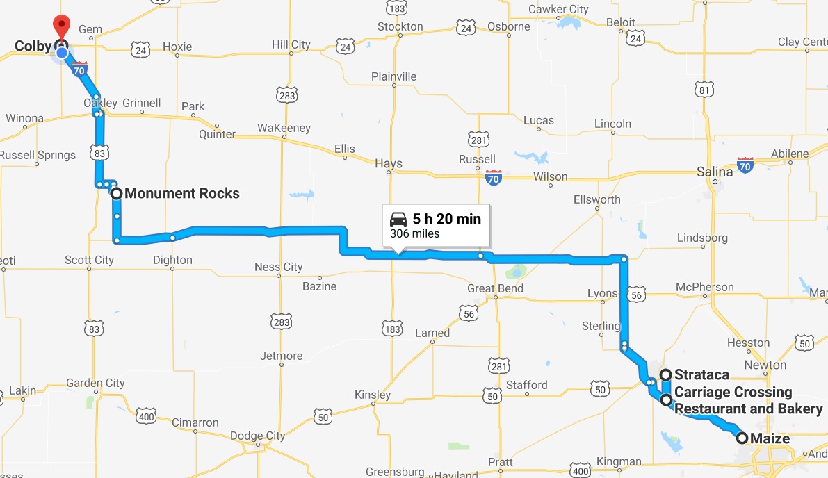
Route for Wednesday, July 4th, 2018