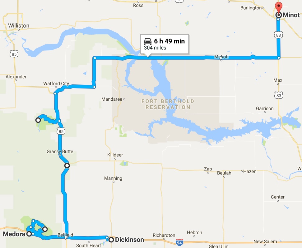
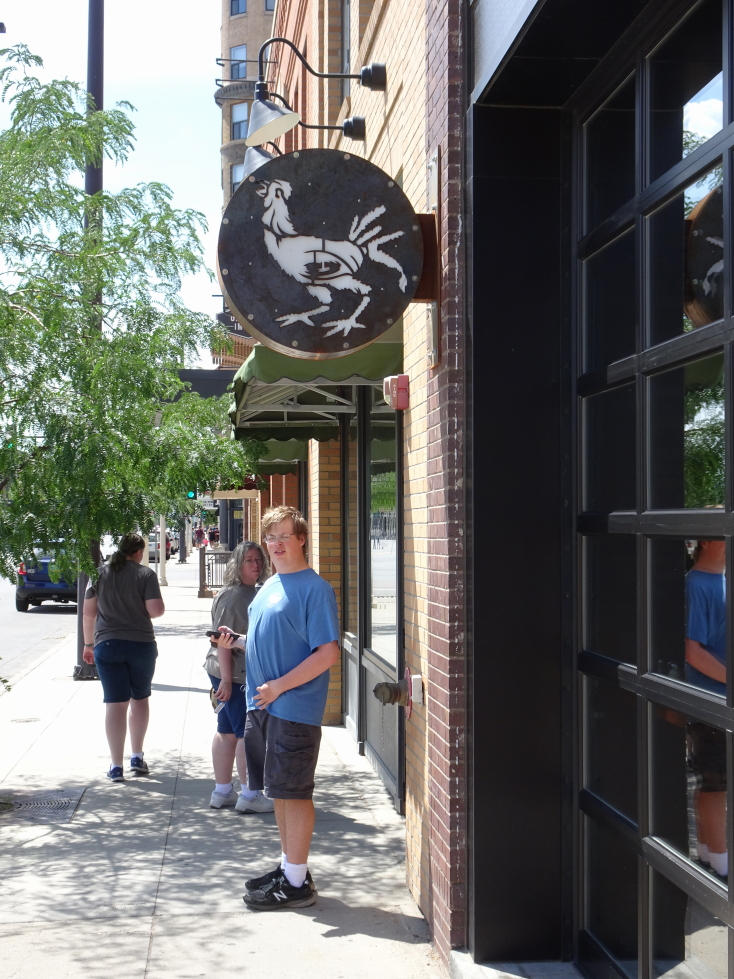
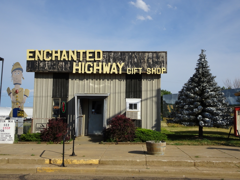
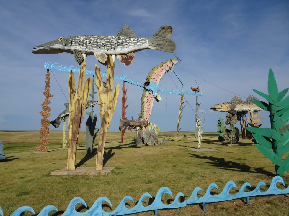
It has been a couple of weeks since I’ve worked on the blog, mainly because the next one up, this day, was by far the most packed. That means hundreds of photos to sift through. Still, better now than never!
I awoke during the night and barely slept after 5a as it was so bright even that early in the morning. This was because we were on the very edge of the eastern side of Mountain Daylight Time. For lucky folks just ten miles east it was just as bright but a very respectable 6a. Finally awoke for good at 6:15a and, after showering, shared a quick bite to eat with Genetta at the Holiday Inn Express breakfast buffet. I had dry cereal and she muffins and a hard boiled egg. We wanted to go light and easy on the stomach as we set out at 8a for the 35 mile drive to…
…Medora Riding Stables. Now, I have to admit, I was a bit… concerned… about going horseback riding. The Youngs typically don’t mix well with fauna of the equine variety, including a (family) famous row between my brother and a horse that would not stop stepping on his foot. Genetta had gone horseback riding before, at Girl Scout camp and the like, but never with her family. When first we began these trips back in 2010 I was much too heavy for the proprietors to let me take one of their horses out. In 2015 I was far lighter and able to ride but we were unable to get a reservation in Alaska. So, this possibly being are last trip out West (you never know with adult kids), I was determined that we’d get a ride in.
Anyhow, the landscape turned from greenish brown prairie (due to a prolonged drought) to a distinctly more Badlands-ish landscape that was even more beautiful. We arrived at Medora Riding Stables, just off the highway, at 8:40a or so and walked up the steep stairs to the stables and office. There was a good mix of people there, mostly ladies and young girls, but a young boy as well. We numbered about a dozen. Though I looked dorky I opted for a helmet. It was already hot, and the helmet and long pants and shirt didn’t help — but important to be protected from the sun to avoid burning.

Medora Riding Stables in Medora, North Dakota

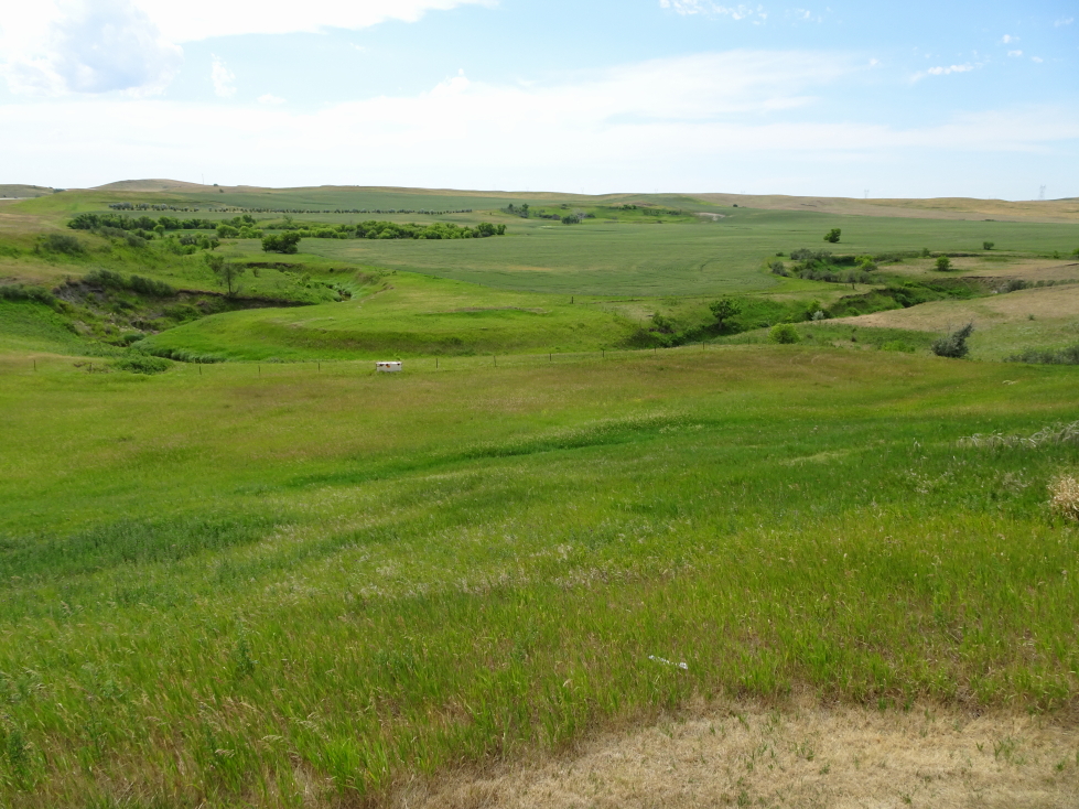
Beautiful pasture at Medora Riding Stables
Genetta’s horse was Cricket, mine Doc. One of the two guides rode in the front of the line, followed by the customers, and the other guide kind of free roamed but mainly stayed in back. I was last, with Genetta just in front of us, and a lady about my age from New York (but a bit of a biker) ahead of her. The ride was excellent, we stayed at a slow walk, only needing to slightly adjust the reins (held at the knot) and lean forward when going uphill, backward when going down. Though when I first got on the horse it started backing up and I was like “mine’s broken!” before I was told it was simply because I was clutching the reins too far back and close to my body.

Here I am atop my horse

The front of our group of riders
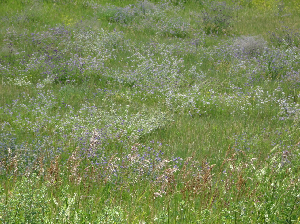
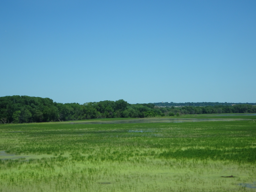
The landscape was mostly scrub, sage brush, small trees and of course prairie grasses. We started fairly flat but quickly ascended a hill, emerging on a flat plateau above. There we crossed into National Park and eventually National Grassland property, closing the fence behind us as we went. The National Park land had particularly lush grass as it was not used as grazing land. The horses would stop whenever they could to chomp away at that prime food!

Beautiful gray-green sage brush dotted the landscape

Prairie at the top of the plateau

Badlands were all about, providing for some interesting riding
I think Cricket and Doc were in cahoots — Cricket was just about to go #2 and Doc pulled right up and slightly to the left, leaving my shoe right in the line of fire. I was able to quickly move my foot and back up, crisis averted!
From the plateau we were able to see down into the small town of Medora. There was also a cell tower up there (not on any of the National land, however) which the rear guide originally didn’t care for but it saved her skin one day when she got a group lost and it was the tower that guided her back to familiar territory. The guides participated in the Medora Musical in town, as did many of the horses. Sadly, we didn’t have the time to see that, regardless it was in the late afternoon outdoors and it was hotter than Hell so I doubted we’d want to do it.
Conversation during the ride was about Medora, the National Park, the musical, the guides’ lives, places we’ve been, etc. Our guide had particularly colorful stories of a guy that had been in the musical for years and survived a mauling from a mountain lion back when Medora had a “zoo”. Those are mostly a thing of the past, though.
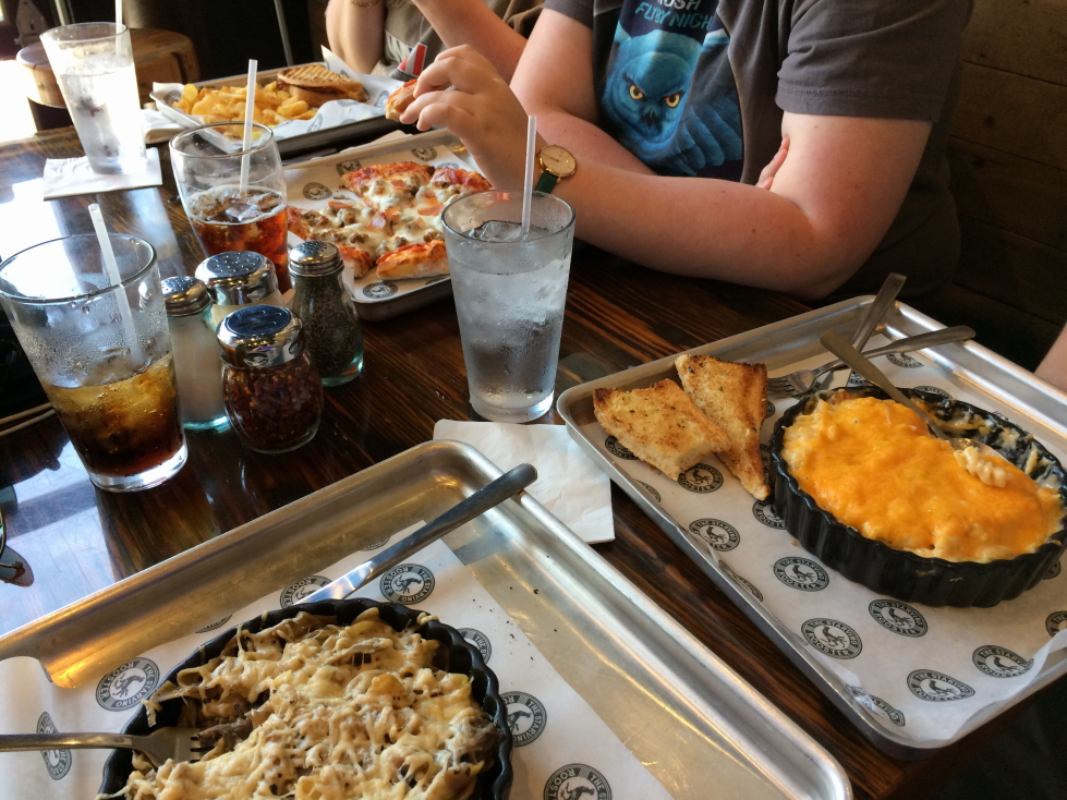
On return to the stables Genetta and I got a quick picture from our guide. She wasn’t feeling that great, having overheated a little bit during the two hour ride but quickly recovered once we got some drink from the office’s water cooler. It turns out they cancelled their afternoon ride due to heat, it was only 11a and nearly 100F. We headed into Medora to find a ATM so that we could tip our guides as I had stupidly set out that morning with no money. It felt like the sun was sitting on my shoulder, just brutal low-humidity hot. After returning to the stables to tip our guides we drove back to the hotel in Dickinson, arriving at 12:30p. We decided to eat at Sanford Pub & Grub, the restaurant we had missed eating at the prior night. It wasn’t that great at all, and very pricey.

Us after our two hour ride, a bit tired and hot but thrilled nonetheless
About 2p we headed back towards Medora, stopping at the Painted Canyon Visitor Center. The views from there were absolutely gorgeous despite the oppressive heat (topping 105F). After a quick stop in Medora to do some shopping and get some ice cream (Genetta a coffee milkshake, myself some scoops of Maple Nut) we headed to the South Unit of Theodore Roosevelt National Park at 4p.

View from the Painted Canyon overlook

View from the Painted Canyon overlook

Stores in Medora, North Dakota
What a gem of a park. Rarely visited (it is kind of out of the way) but packed with beautiful Badlands vistas as well as some incredible fauna. First we came upon several large prairie dog towns. I got out at various scenic overlooks for pictures, ducking back in the car to escape the eat as soon as I could. The climb up Buck Hill was pleasant, however, as there were stiff 30+ mph winds and exceptional views from the top. Later on we saw many bison at a ranch — voluntarily! Though the gates were wide open at the CCC Ranch they just liked the area (according to the Ranger we talked with later) and often hung out there.

Prairie dogs in the South Unit of Theodore Roosevelt National Park

Cool rock formations in Theodore Roosevelt National Park

Badlands in Theodore Roosevelt NP

More beautiful scenery in Theodore Roosevelt NP

A bird in Theodore Roosevelt NP

View from Buck Hill

Theodore Roosevelt NP scenery

Scrub and trees in Theodore Roosevelt NP

CCC ranch with a bison herd at Theodore Roosevelt NP South Unit
A bit farther down the road was a lone bison. Apparently elder males would typically leave the herd and just do their own thing. Just as we were almost finished with the circular drive about the southern side of the park we saw a wild horse up on the hill to the left. Tossing the camera to Addison (as he was in the left rear passenger seat) for a picture, we were all quite surprised when that horse — and two buddies just clearing the ridge the first was on — galloped straight down the hill and towards our Explorer. They turned at the last minute, crossing the road just behind our car. Whew!

Lone bison in Theodore Roosevelt NP

Wild horses at Theodore Roosevelt NP

The wild horses crossed just behind our car!
Visited the South Unit Visitor Center about 5:30p for magnets and shirts and to talk with the Ranger and report our animal sightings prior to setting out for the North Unit at 6p. Theodore Roosevelt National Park has two main parts — the South Unit dominated by the Badlands and the North Unit about 50 miles north that is defined by the Little Missouri River flowing through it. In between and slightly west is Roosevelt’s Elkhorn Ranch. Though it was only a one hour drive to the North Unit we didn’t arrive until 8p as we lost an hour transitioning from Mountain to Central Daylight Time. Thankfully the days are long in July and particularly as far north as we were. Along the way we entered the Bakken shale oil formation and oil derricks began to pop up everywhere. Also, we saw businesses catering to the shale oil boom including one selling mobile homes as temporary crew lodging.

Oil derrick in western North Dakota’s Bakken shale oil formation

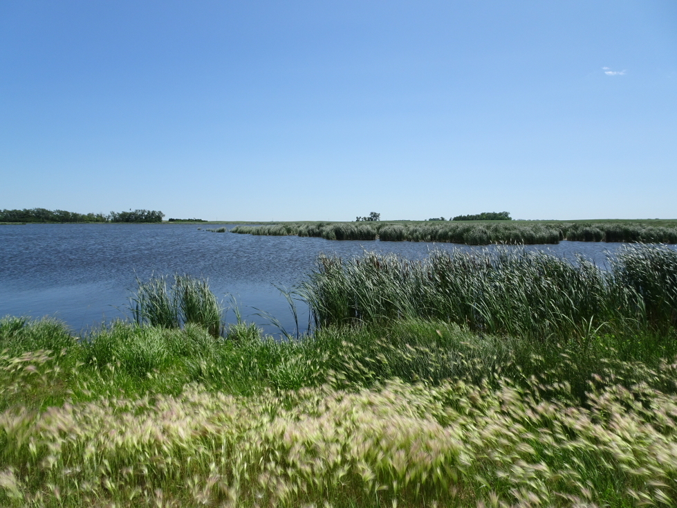
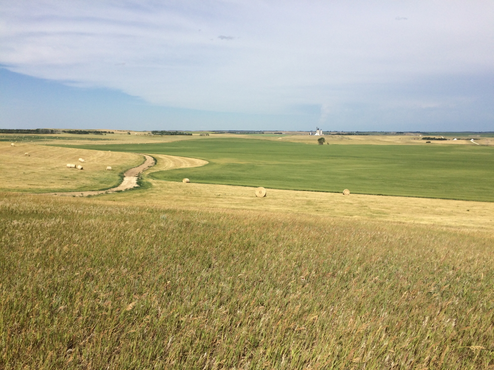
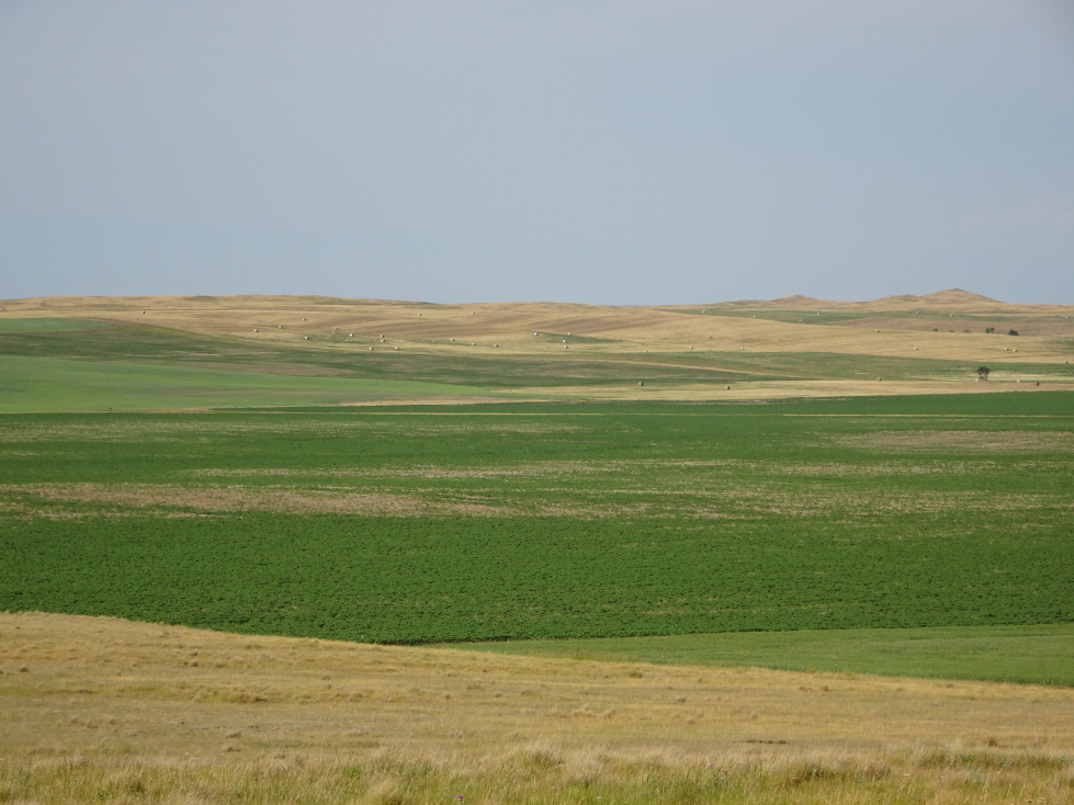
Prairie in western North Dakota

Mobile homes as temporary crew housing

Scenery on the way to the North Unit of Theodore Roosevelt NP
We spent about an hour in the North Unit. A little bit more time would’ve been welcomed, but we still had an enjoyable time. First saw some odd rock formations, formed by wind, called “cannonball accretions”.

Elder male bison resting in the North Unit of Theodore Roosevelt NP

Cannonball accretions at Theodore Roosevelt NP

Large cannonball accretion on the ground

Cannonball accretions embedded in the cliff with the moon beyond
Then we came across a large herd of bison that were just off the road but then started crossing the road in front of us. They started crossing, then decided walking very slowly along the road was better. Needless to say we let them do what they wanted to and took great care not to spook them and kept a very wide distance.

Scenery in the North Unit

The bison herd crossed the road near us
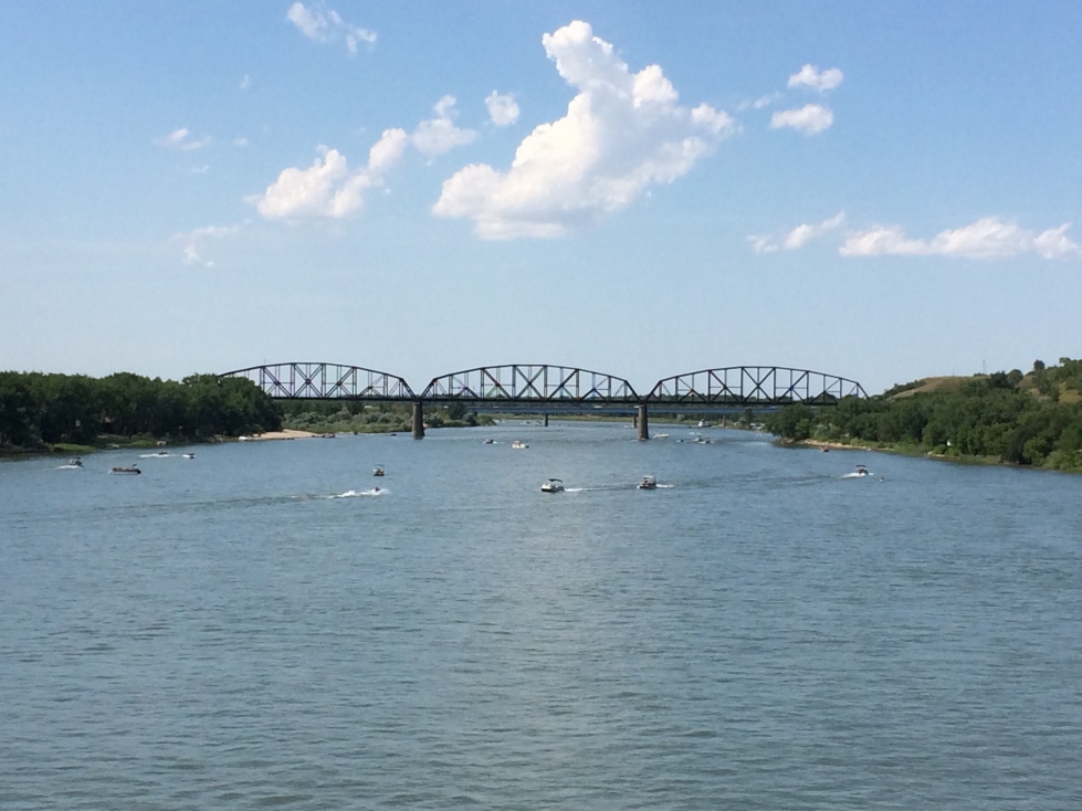
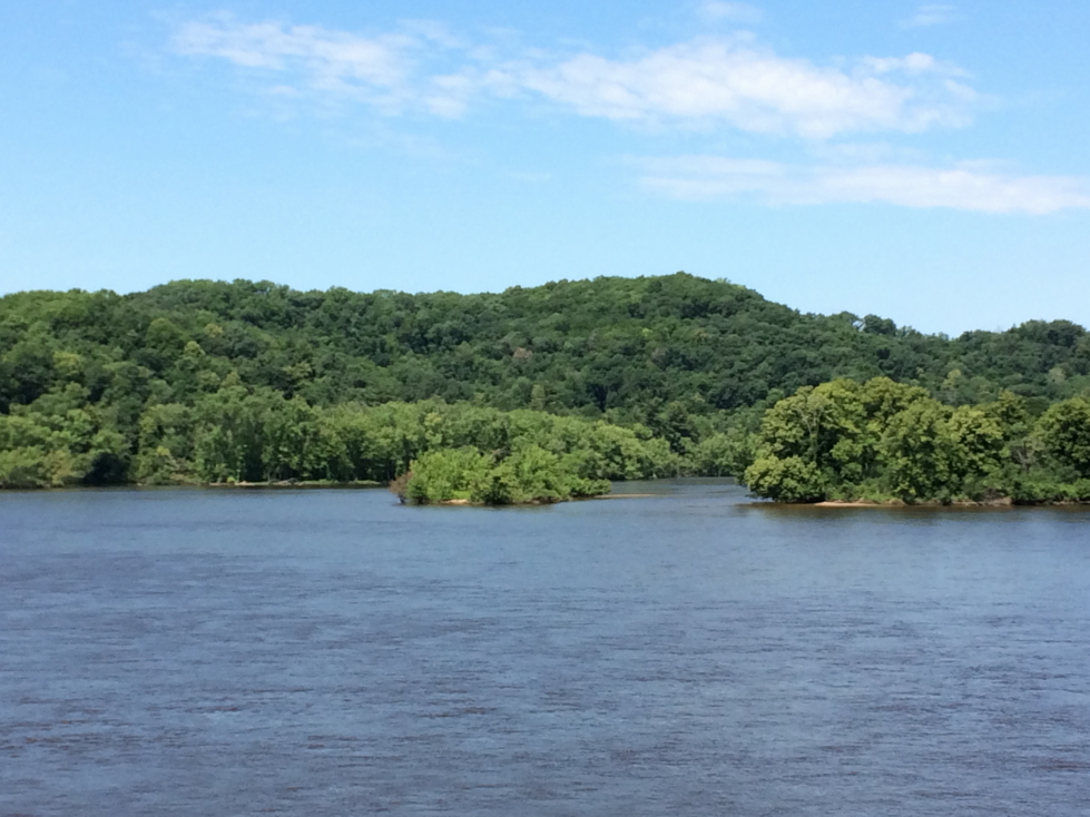
About halfway along the road there was a vantage point overlooking a bend in the Little Missouri River that is touted as the “most photographed spot” in North Dakota. I can believe it! Spectacular doesn’t do it justice, and one nice benefit of being there so late is the moon hung beautifully above the view. The end of the road a few miles farther was a bit of a letdown from that view but still very nice.

Bend of the Little Missouri River, most photographed spot in North Dakota!

Another view of the bend

Closeup of the bend in the Little Missouri River

Rock formations near the Little Missouri River
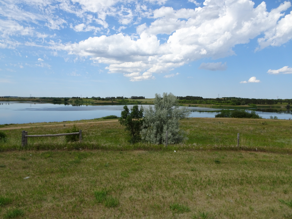
On the way down the road we had to take great care as it was getting dark and we needed to ensure we didn’t hit any of the deer or bison we periodically saw on the way. We turned north towards our destination for the night, Minot. Between us and Minot lay three hours of interesting driving, even at night. The area is the heart of the Bakken shale oil formation and small drilling operations with a couple of derricks and pipes exhausting burning gases dotted the landscape. Also observed were very clearly recently built hotels and semi-permanent housing and even more places selling prefab trailers for workers. We crossed through some Native land and passed a casino as well as crossed over a reservoir that would’ve been a pretty sight during the day as it was lined by stark brown cliffs.

Another bison herd in the North Unit

View near the end of the road in the North Unit

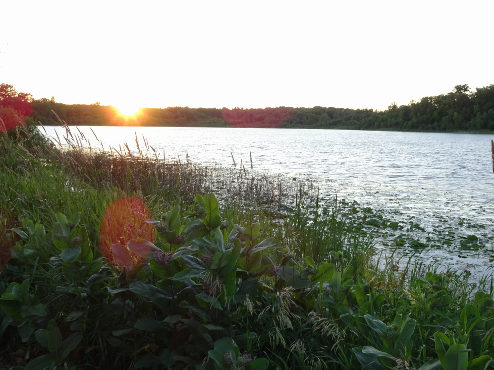
Sunset against the badlands of North Dakota

Deer in the North Unit of Theodore Roosevelt NP

Interesting rock formation in the North Unit

Exhausted fumes aflame in the Bakken shale oil formation
Further east we could see vast fields of windmills each adorned with a single red light. Each red light flashed on and off at the same time — very eerie. It turns out that timing them like that minimized the harm to migrating birds. There was also a massive storm over extreme southern Canada with some of the most spectacular lightning I’d ever seen, each flash illuminating the massive anvil.
We arrived in Minot just before midnight and drove a bit into town to get some McDonalds (there was literally nothing during our three hour drive to eat — well, other than stopping at the casino) and headed back to the hotel. Holiday Inn Express here was just north of $200 a night, while Dickinson was under $100. This despite that there’s nothing around Minot and Dickinson is on the doorstep of the amazing park. That’s the effect the Bakken has on the economy. After finishing our dinner we headed to bed just past 1a.

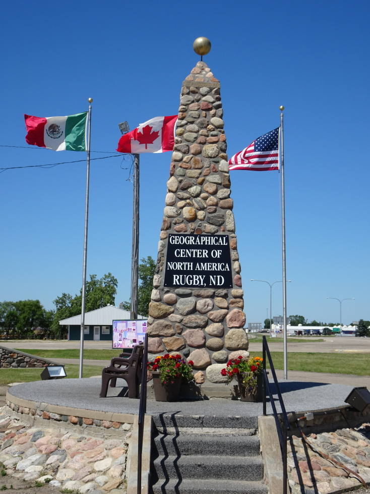
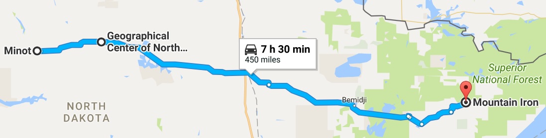
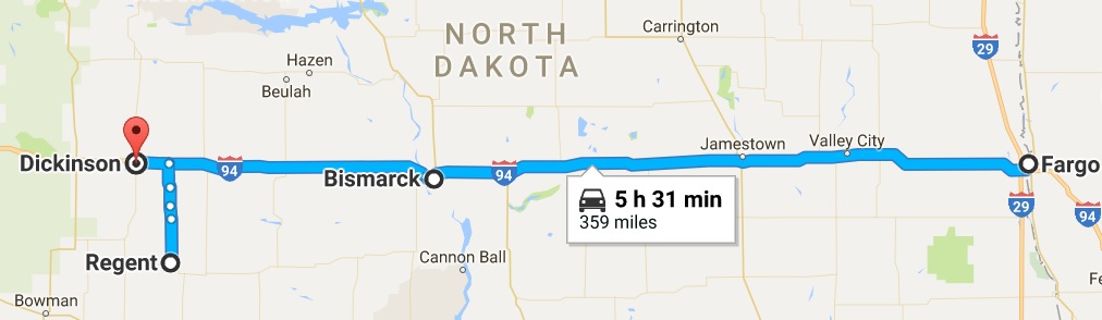
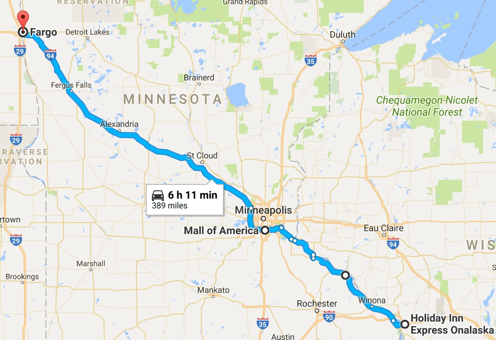
Route for July 5, 2017