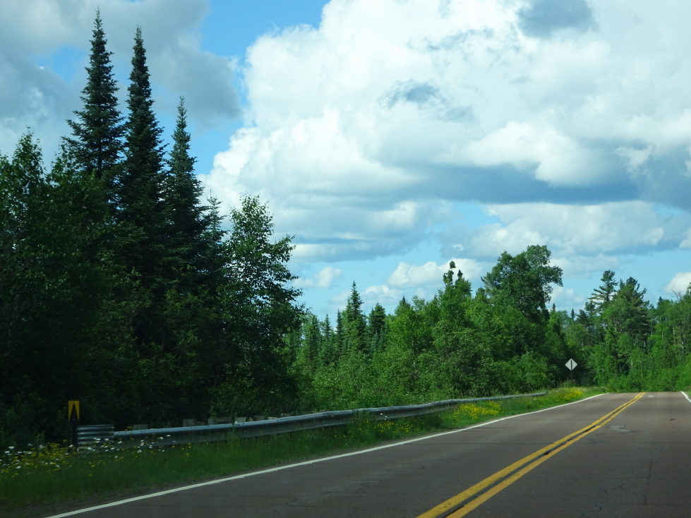
We awoke before 8a and Genetta, Michelle, and myself had a light breakfast. We set out just after 9:30a for the one hour drive to Cornucopia, Wisconsin. The terrain was mostly farmland and nothing else — we saw only one gas station (which we used) along the way. Beautiful country though surprisingly flat and sparse.
Stopped at a small restaurant, Little Nikki’s, in Cornucopia at 11a. Addison had four pieces of toast and nothing else as he wasn’t feeling great, the rest of us had two eggs and bacon with Genetta ordering extra hash browns. In front of the restaurant was a giant wooden chair that Addison hopped into for some photographs.
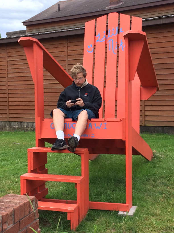
Addison in the big chair in front of Little Nikki’s, Cornucopia, Wisconsin
We then headed toward the harbor and Good Earth Outfitters, arriving at 11:45a. After using the restroom we boarded our motorboat at noon. It had a small cabin for the captain and at most one other person with an open rear area with benches built into the hull facing each other where the four of us sat. After an entertaining safety talk we set out on a brisk pace for about fifteen minutes or so to get to the sea caves. Along the way (both to and from the caves) we learned much about RVing and the Park Service. The water wasn’t too rough, thankfully, but the temperature was a bit chilly and there was the occasional drizzle bordering on light rain.
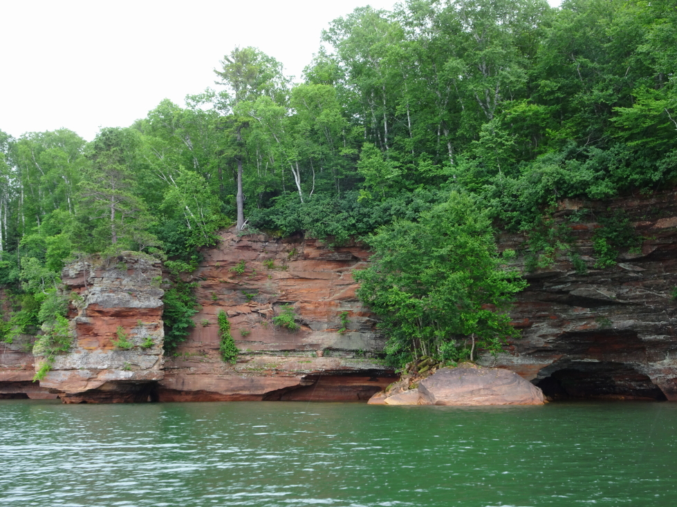
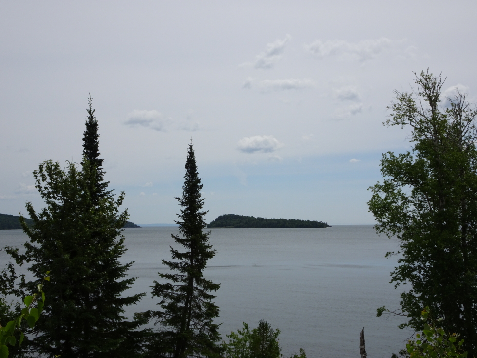
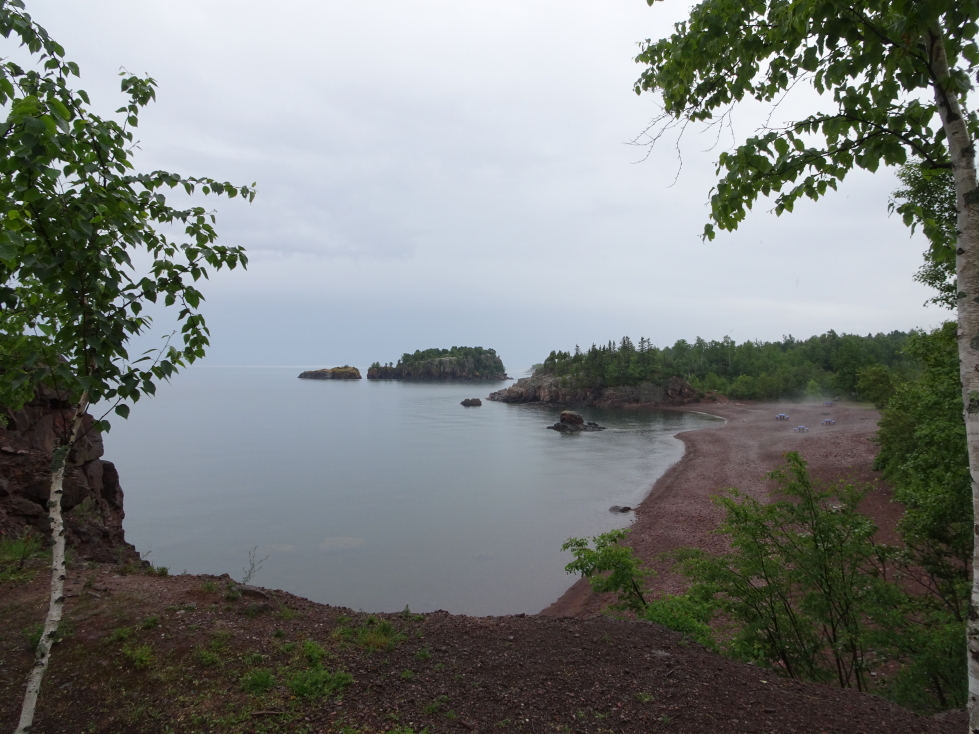
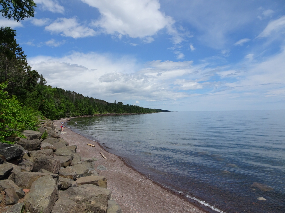
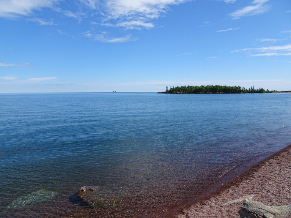
Shoreline of Apostle Islands National Lakeshore on the Bayfield Peninsula
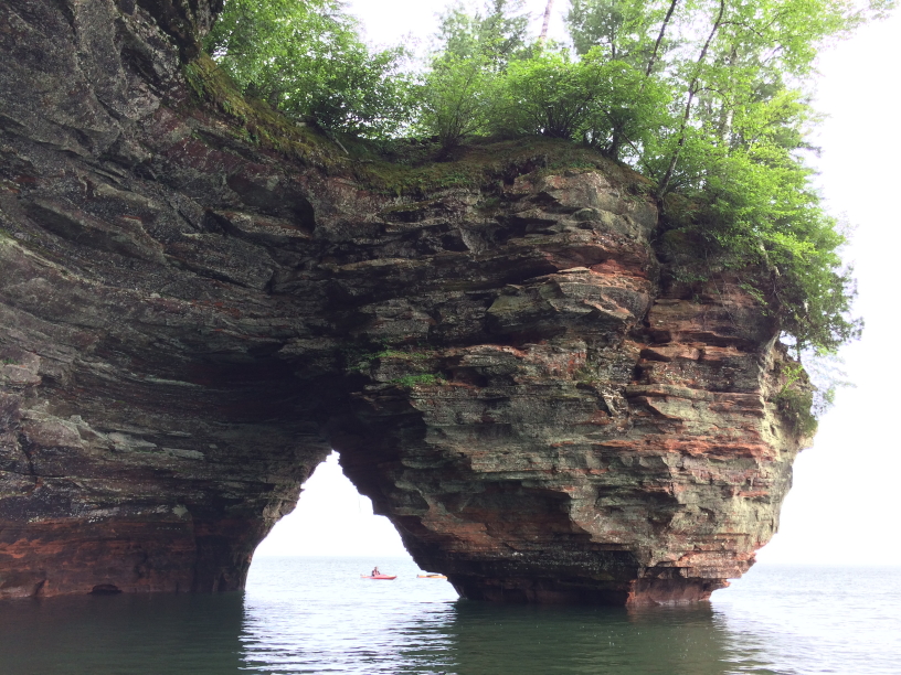
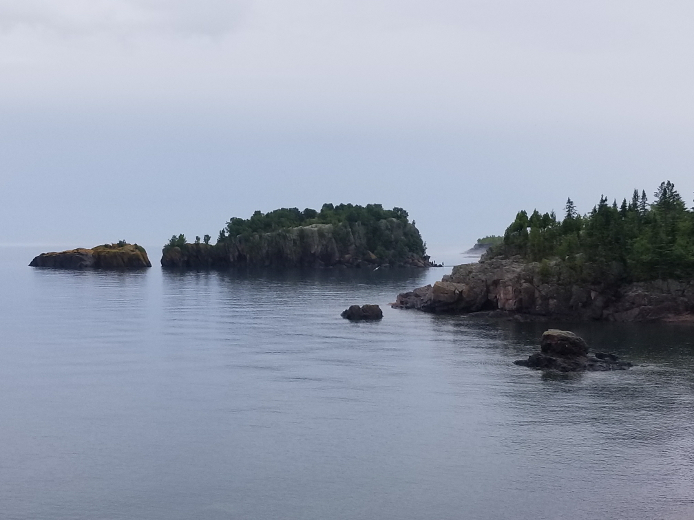
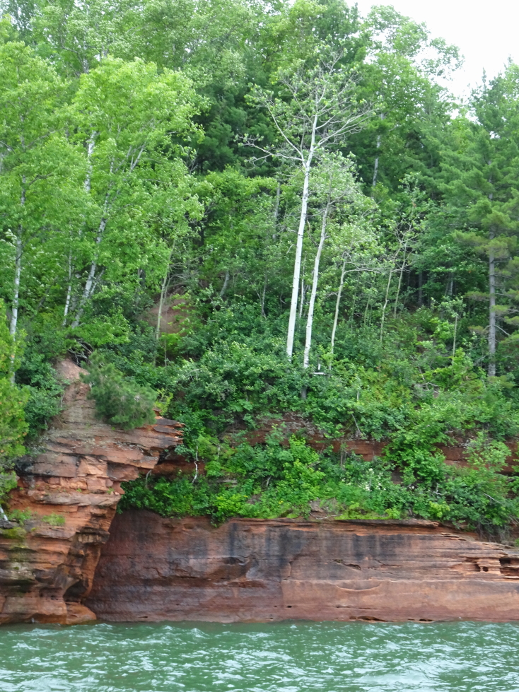
Interesting rock formation at Apostle Islands National Lakeshore
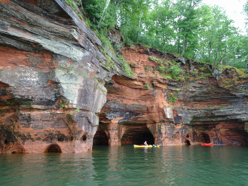
Once at the the caves he talked about how they were formed. They aren’t really caves in the traditional sense, but rather sediment that was compressed then eroded forming shallow niches in the cliff face. There were also vertical cleaves caused when glaciers receded and the land suddenly popped up with the weight lifted.
Shame the day was overcast, though maybe that let the water be more green?
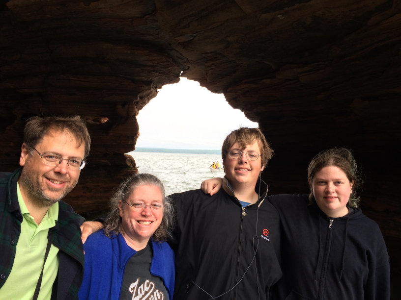
The Youngs — photobombed by a kayaker
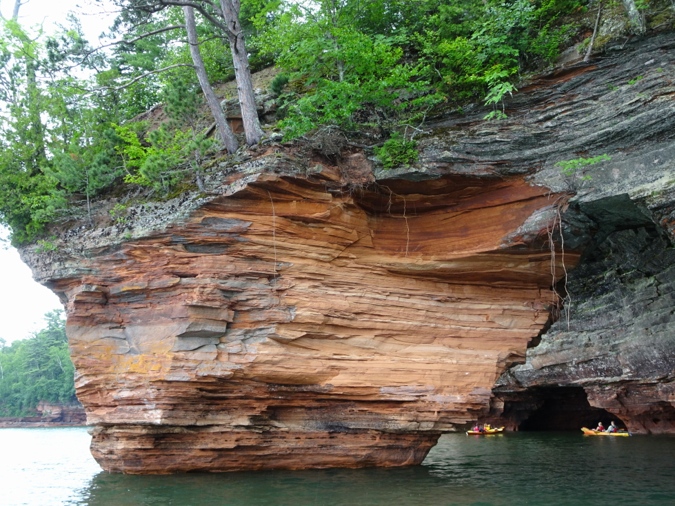
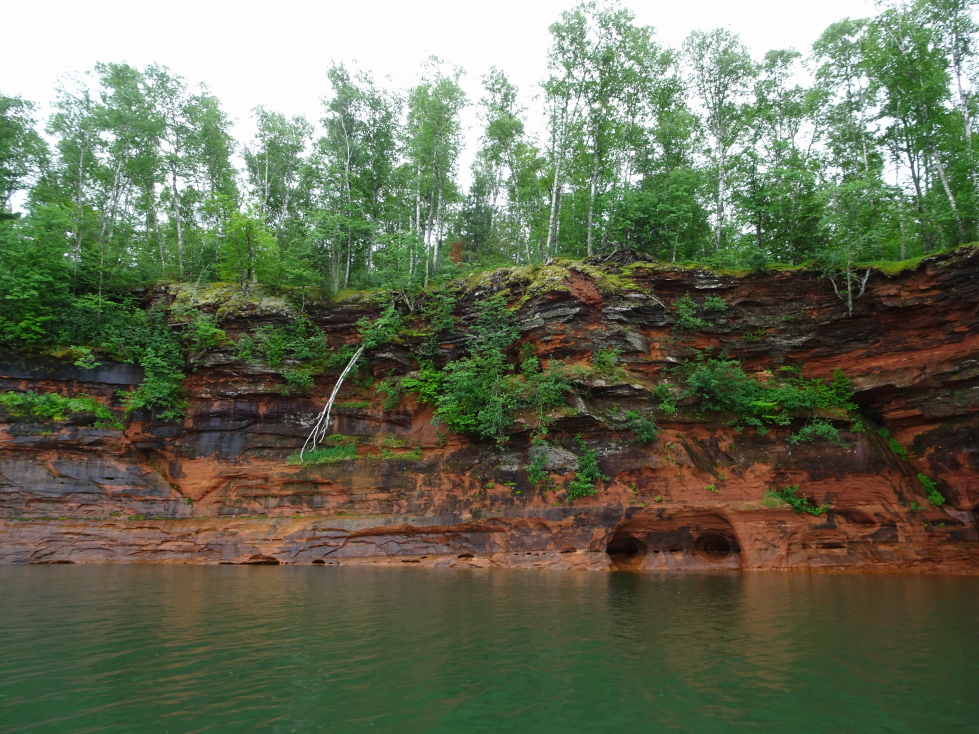
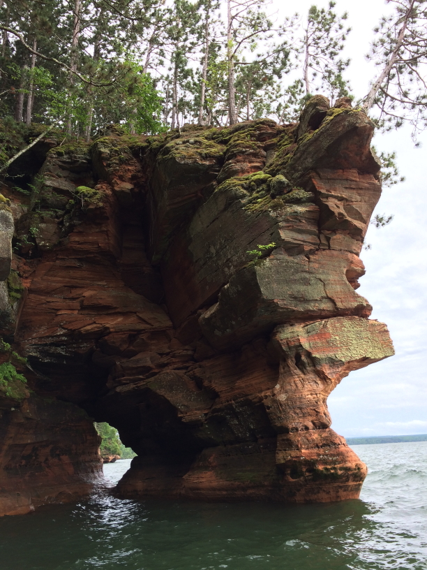
Amazing bands of color in the rocks
He volunteered as a light keeper on three different islands in the Apostles (the small archipelago off the northwestern coast of Wisconsin) when he was 18. He loved it as he enjoyed the isolation. He would buy groceries for two weeks at a time and spent his free time reading old keepers’ logs.
Kayakers lucked out with such a calm day
A tree loses its valiant fight against erosion
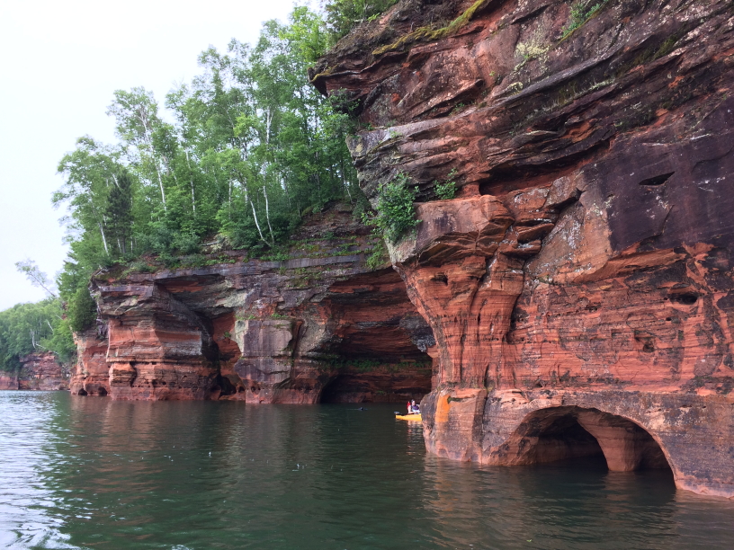
More beautiful cliffs and green water
He told us about the ice caves that form every so often when Lake Superior freezes solid and people can walk over a mile on the ice to the sea caves and see icicles dangling from their roofs. In order for the ice caves to be (legally) visited, the National Lakeshore rangers have to verify that the route from the nearest access over a mile away is safe to walk upon.

Another view of the cliffs and green water
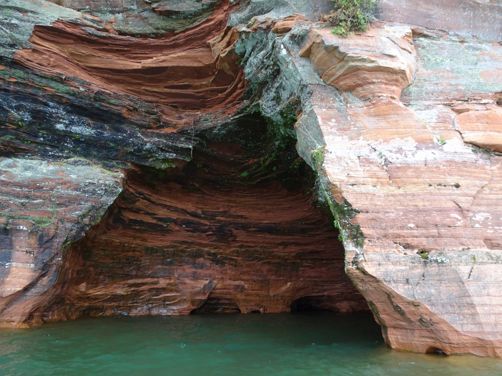
A closeup of the cliffs
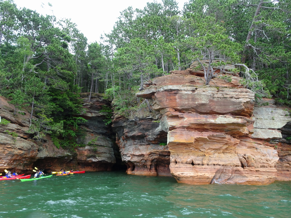
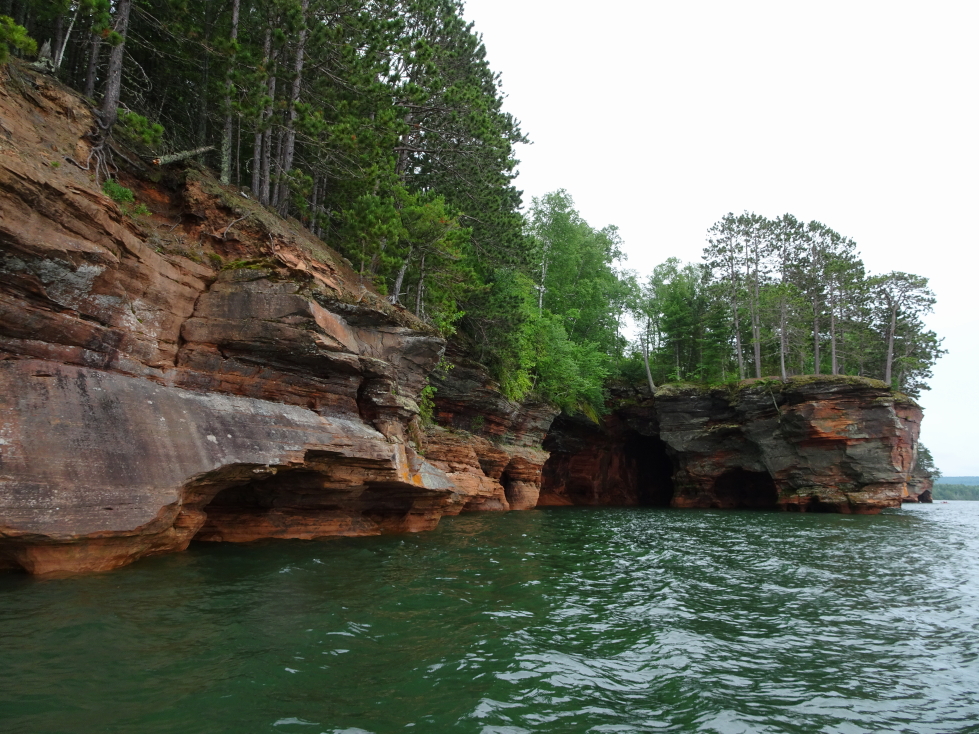
A colorful group of kayakers shared the cliffs with us
Our guide also told us about deer that sometime get trapped in the caves after falling from the high (50’+) cliffs into the lake and swim to the dry land of the cave floor. They can be saved sometimes by kayakers leading them to the access points via a mile long swim. Speaking of kayakers, we did see a group or two in the caves and patiently waited for them to finish before going in ourselves. The kayakers could go deeper, of course, being much smaller. Did see some canoers foolishly attempting to go it alone — being a fairly long paddle and a choppy lake with frigid temperatures it isn’t a good idea to go alone.
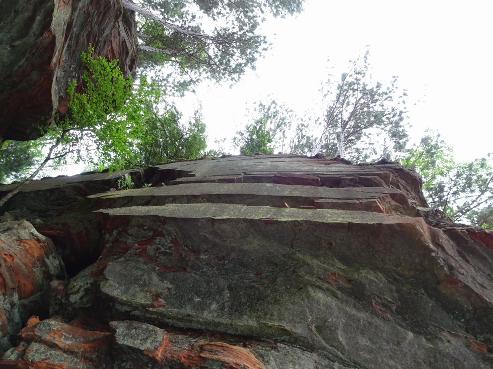
Note how cleanly the cliff was cleaved, amazing!
Nearly, but not quite, a sea (lake?) stack
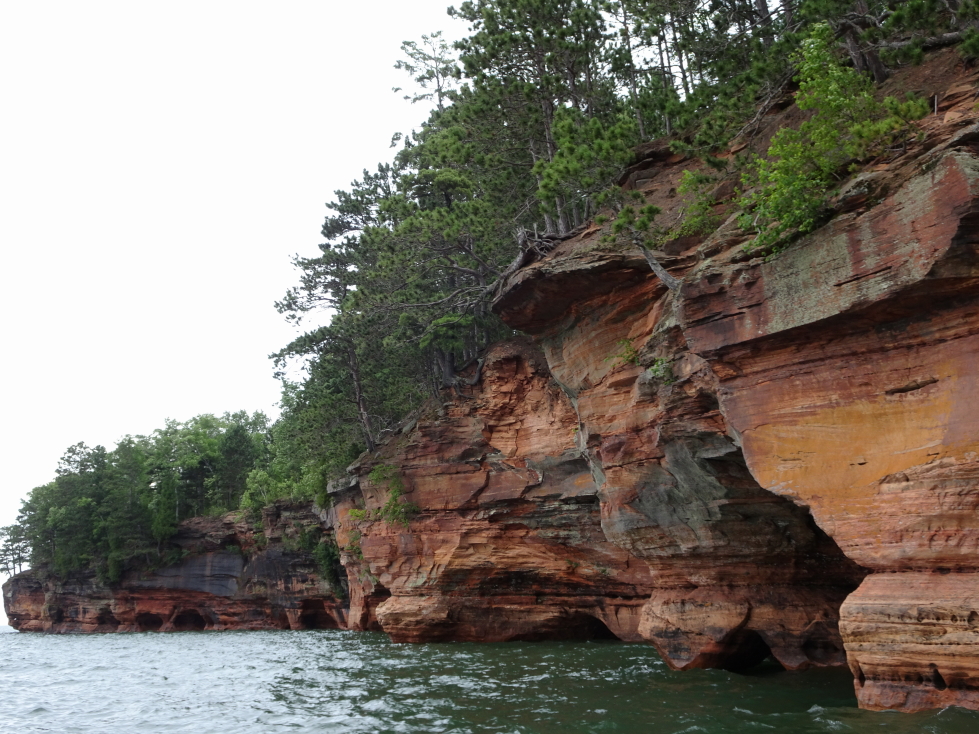
Another view of the cliffs
Also saw some kayakers with a diver trying to recover a (not legal in the National Lakeshore) drone as well as some foolhardy hikers walking right along the edge of the very crumbly cliff edge. Our captain called in to the NPS about both the drone kayakers and the hikers, a Park Service boat swinging by shortly after to get the details in person. It was nice to see him working with the Park Service, it reaffirmed our decision to avoid the large boat tours that also visited the sea caves (typically not the mainland ones like we were visiting but some of the islands) and go with a small operator with a decent reputation.
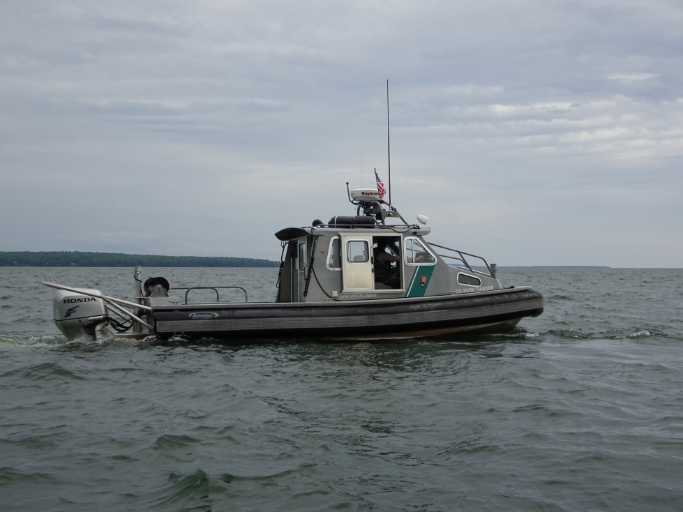
A patrol boat manned by a ranger from Apostle Islands National Lakeshore
One final view of the gorgeous cliffs
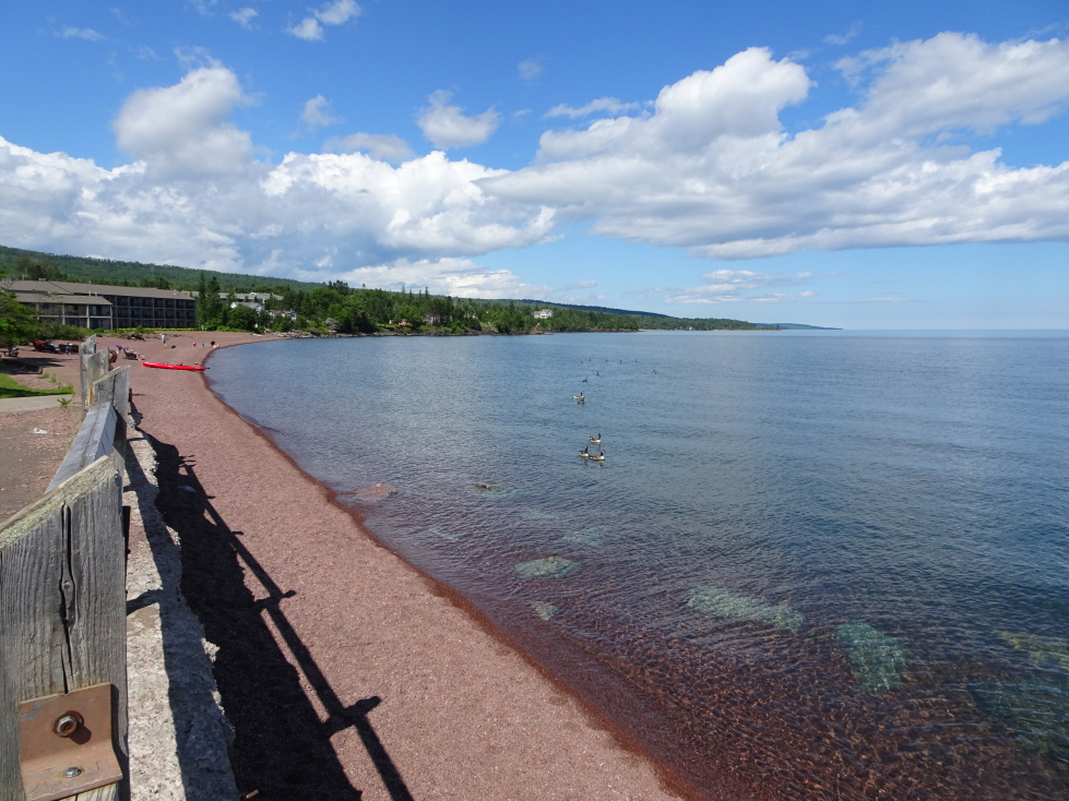
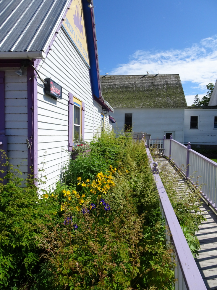
By the time we headed back to the harbor shortly before 2p the weather had slightly improved as the showers had stopped. We were back on shore at 2p and promptly drove to Bayfield, a town on the east side of the peninsula that Cornucopia was. At 3p we ate at the Pier Plaza Restaurant on the earlier recommendation of our guide. Michelle had the shrimp salad, Genetta a club sandwich, Addison a cheddar bacon burger, and myself a mushroom swiss burger. They had decent homemade chips and the nachos with beef appetizer was also very tasty. The town was very quaint and the much improved weather — blue skies with puffy white clouds departing to the east — made for a very pleasant afternoon.
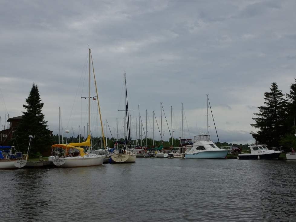
Cornucopia’s harbor
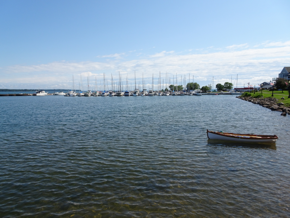
Bayfield’s harbor
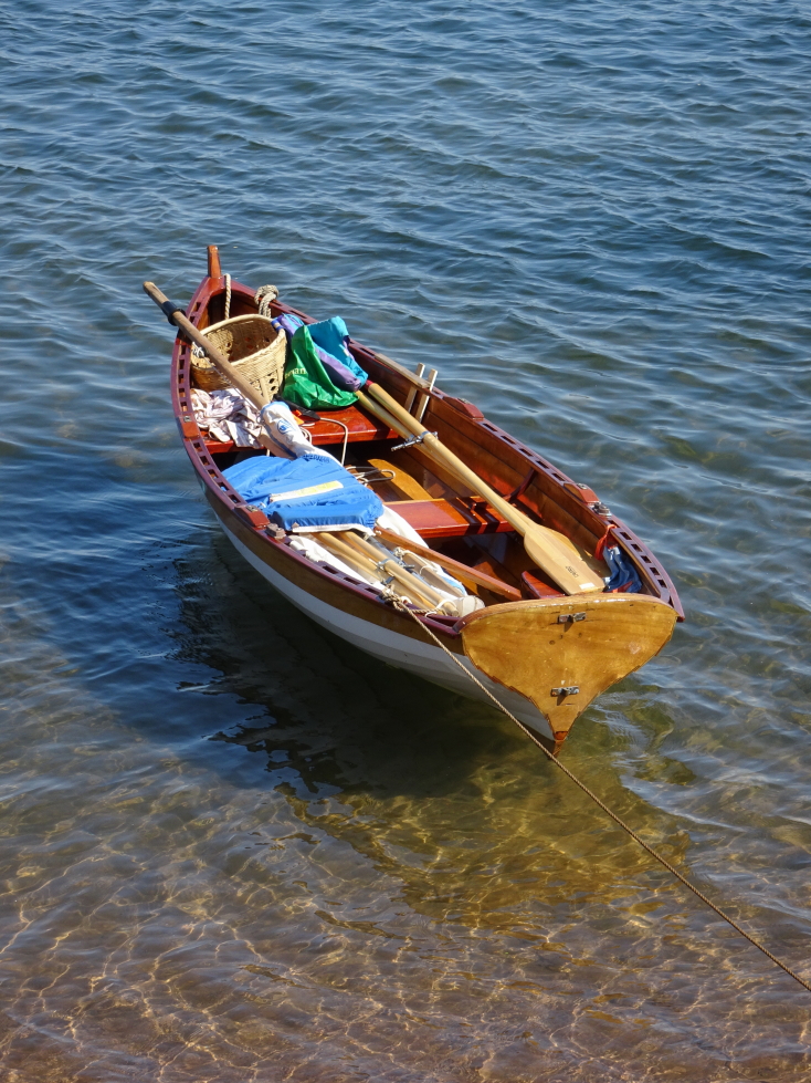
A nifty and colorful rowboat is basically catnip to me and my camera
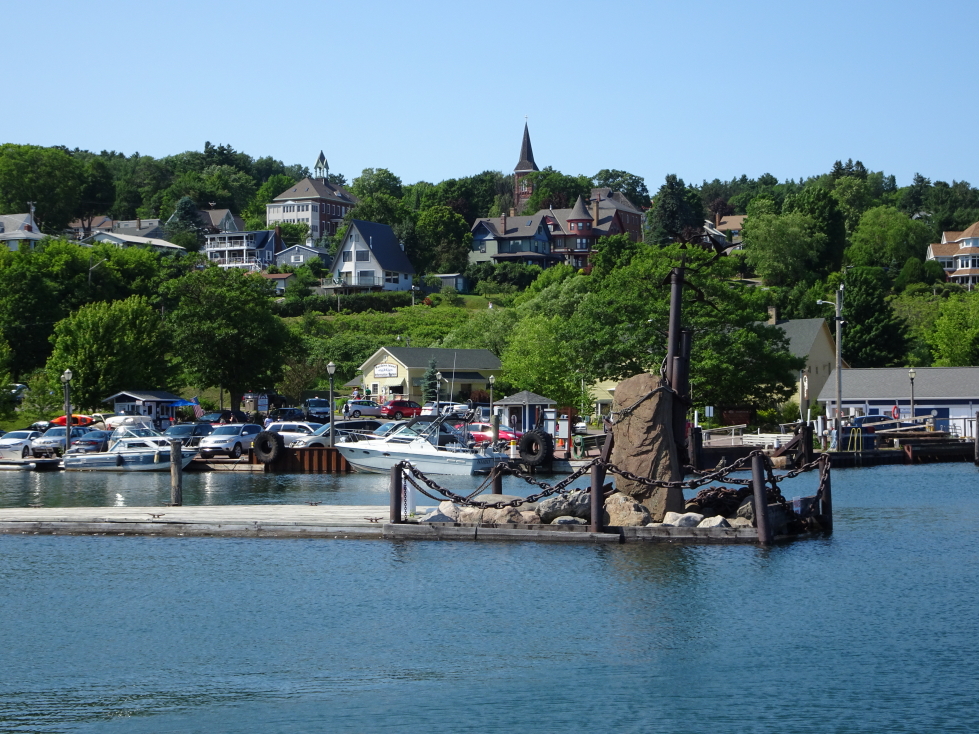
Some of Bayfield’s fancier homes on the hill above the pier
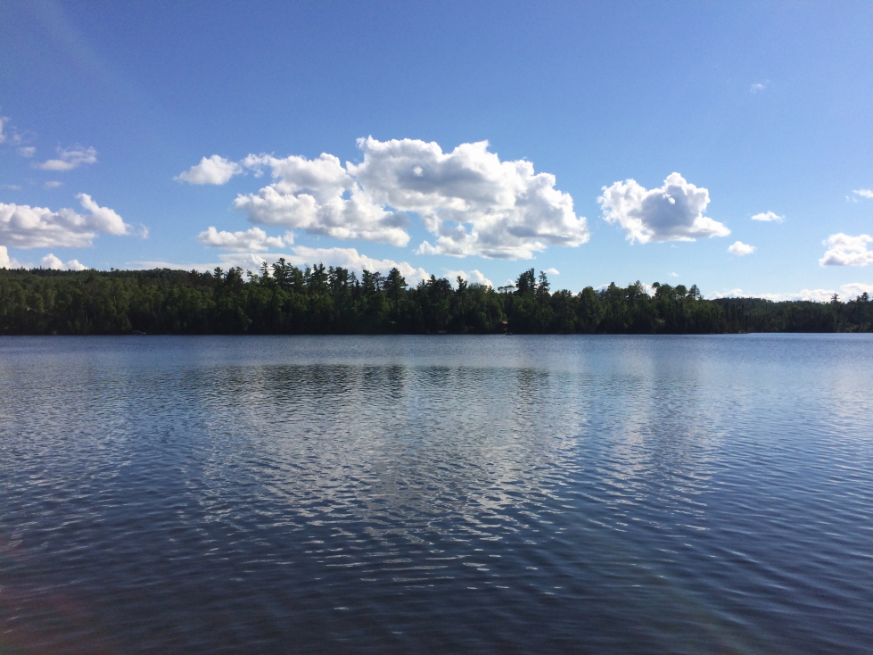
We had a long drive ahead of us, however, so reluctantly we hit the road again for Munising, Michigan, our stop for the night at about 4:30p. Due to the late hour when we set out, as well as the loss of an hour going from CDT to EDT, I had to sadly cancel plans to visit Jeff’s family in Minocqua. The drive through the Upper Peninsula was a bit different than I expected. Less pine and evergreen and more birch. Also fewer wildflowers. There were some nice hills and streams (including one with a bridge over it at a rest area that had a statue of a miner inside). That rest area had a bit of information about the iron ore mines of the UP, apparently they ran as deep as a mile before strip mining took over in the later 1900s.
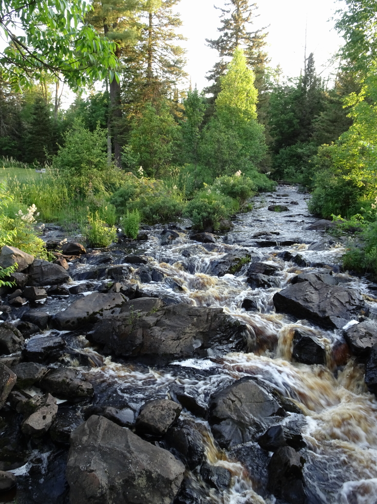
Small stream at a rest stop in Michigan
Just before Munising we stopped at a Starbucks in Marquette just before they closed — very yummy! Finally arrived at the hotel at 11p. It was nice, with a lake view (supposedly, was quite dark) but sadly the aurora we had hoped for was not on display. Returned to the room and offloaded the photos and blogged before bed.
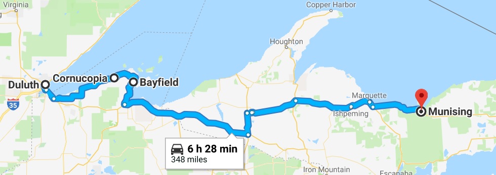
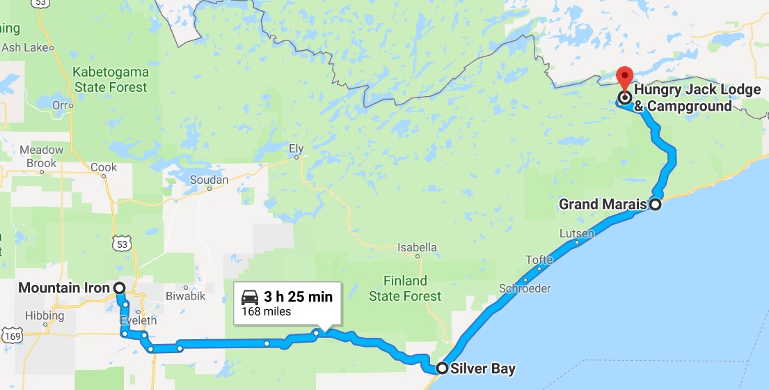
Route for Sunday, July 9th, 2017