Woke up fairly early (I had had a terrible headache the night before and really needed more sleep), Michelle and I got a bite to eat, and checked out about 10a. We had originally thought about going to the Action Figure Museum in Pauls Valley, but a quick video of 6,000 sqft of clutter was enough to convince me that perhaps it’d be better to just give the family a rest and head out at a more relaxed pace.
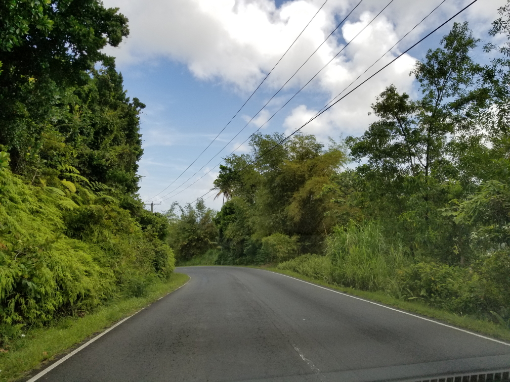
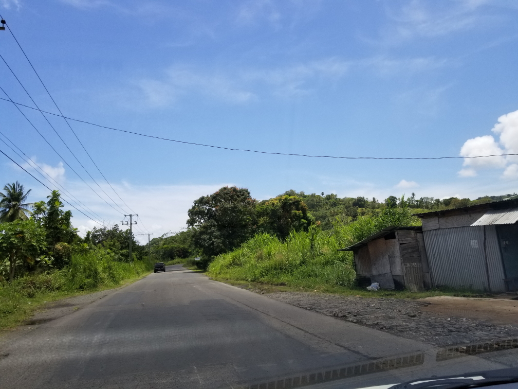
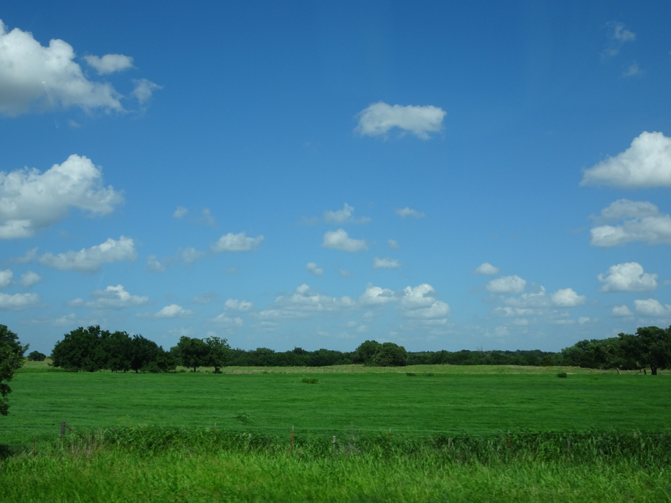
The tour of the National Weather Center didn’t require us to check-in until 12:45p so we had the luxury of taking side roads to Norman, Oklahoma. We headed up US-77 through relatively flat and generously wooded (for the Plains) countryside dotted with small no-stoplight towns (one with the not-so-charming name “Slaughterville”), oil derricks, and cows resting in the shade. We caught a glimpse of some neat yard art — a Volkswagen Beetle suspended on eight slender pipe legs to form a spider. Sadly I wasn’t quick enough with the camera to catch a picture of it. Just south of Norman we stopped at a town called Noble that proclaimed itself the “Rose Rock Capital of the World”. I had a rose rock in my rock collection as a kid and had no idea they came from Oklahoma.
Stopped at Big Daddy’s Smoke House for an early lunch. The sign on the door offered to buy hickory logs off of anyone that wished to sell, always a good sign. Michelle had a pulled brisket sandwich and a generous helping of okra (a bit peppery) with some curly fries for the family to share. Genetta had ribs, myself pulled pork and deviled eggs, and Addison shredded brisket. He thought it may be too saucy at first but ended up liking it. The food was great, I really liked the taste of the pulled pork in particular. They had their paper towels in buckets that looked like upside down cowboy hats. The entire place had Oklahoma University Sooners football memorabilia scattered about — I had forgotten we were close to that.
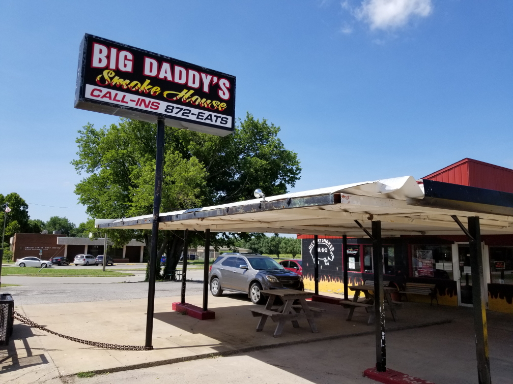
Big Daddy’s Smoke House in Nobel, Oklahoma
Towards the end of the meal Addison asked to get up and headed along the road to the Rose Rock Gallery and Museum while the rest of us finished up and settled the bill. We followed along shortly in our car. The museum was free and just a couple of rooms but still interesting, detailing not only the geology and chemistry behind the formation of rose rock but also the impact on the area with pageants, etc. The gift shop was nice, all of us found some nice small gifts (and a magnet with the Oklahoma flag and a very small rose rock on it — awesome!). I asked where the rose rock was found and she said it was all on private land pretty much and that the museum had a twenty year lease at $3,000 per year to extract whatever they needed. Ouch! Genetta relayed the legend of the Cherokee that rose rock was formed at the end of the Trail of Tears by the blood of the braves and the tears of the maidens. Addison quipped (none of us meaning disrespect here) “Yeah, they got walked.” He can be so blunt at times (and effectively abuse grammar).
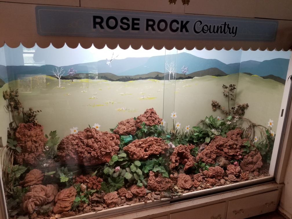
Display full of rose rocks, found near Nobel, Oklahoma
Hit the road again, continuing along US-77 to Norman. I missed a turn (as I do) and we ended up going through OU’s campus and right alongside their impressive football stadium. Campus reminded me quite a bit of NCSU in that brick was the primary building material (and indeed the soil throughout Oklahoma was very red like in North Carolina) but the buildings looked quite a deal fancier and not so modern / random. It was very flat and quite sprawling.
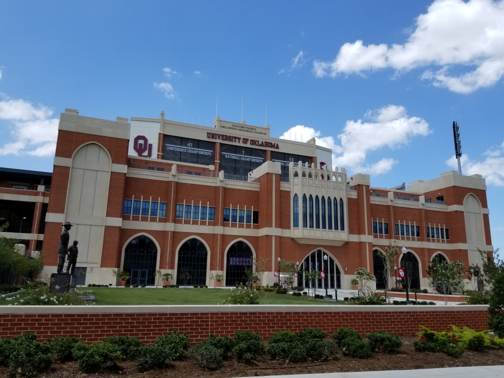
Oklahoma Memorial Stadium, home to the OU Sooners
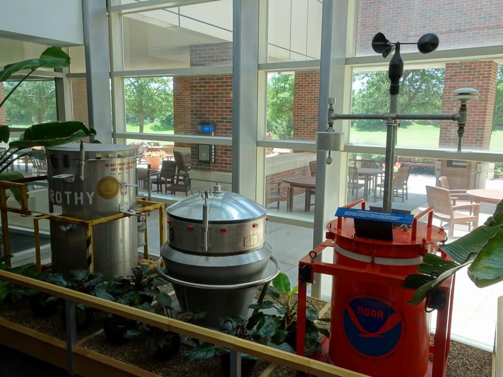
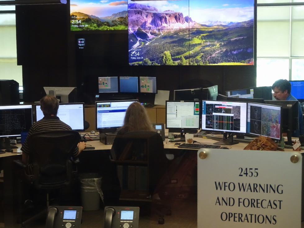
We finally made it to the research complex containing the National Weather Center. I geeked out just seeing the National Weather Center sign with the NOAA seal to its right. The building itself was quite impressive, brick and glass with a nice fountain leading to the entrance. Inside the lobby we got our visitor badges and were permitted to roam around the first floor. The first floor had a glassed-in waiting room with seven monitors side-by-side in portrait mode showing current weather conditions, weather facts, and the occasional video (without sound, unfortunately — would’ve loved to hear them). The room also had a tornado-making wind machine, a vending machine that sold NWC and NOAA goods (shirts, stickers, umbrellas, etc. — sadly no magnets), and two lightning cloud lamps. Outside the waiting room in the main open area were tables and a large globe that weather conditions, earthquake history, and (due to the times) World Cup balls were projected on to. Offices for Oklahoma Weather Laboratory (OWL, cute) and other weather entities were scattered about as well.
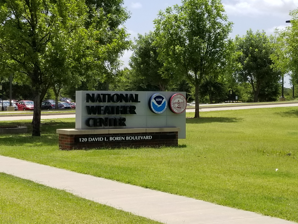
National Weather Center sign, get excited!
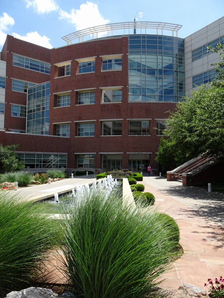
The National Weather Center in Norman, Oklahoma, opened in 2006
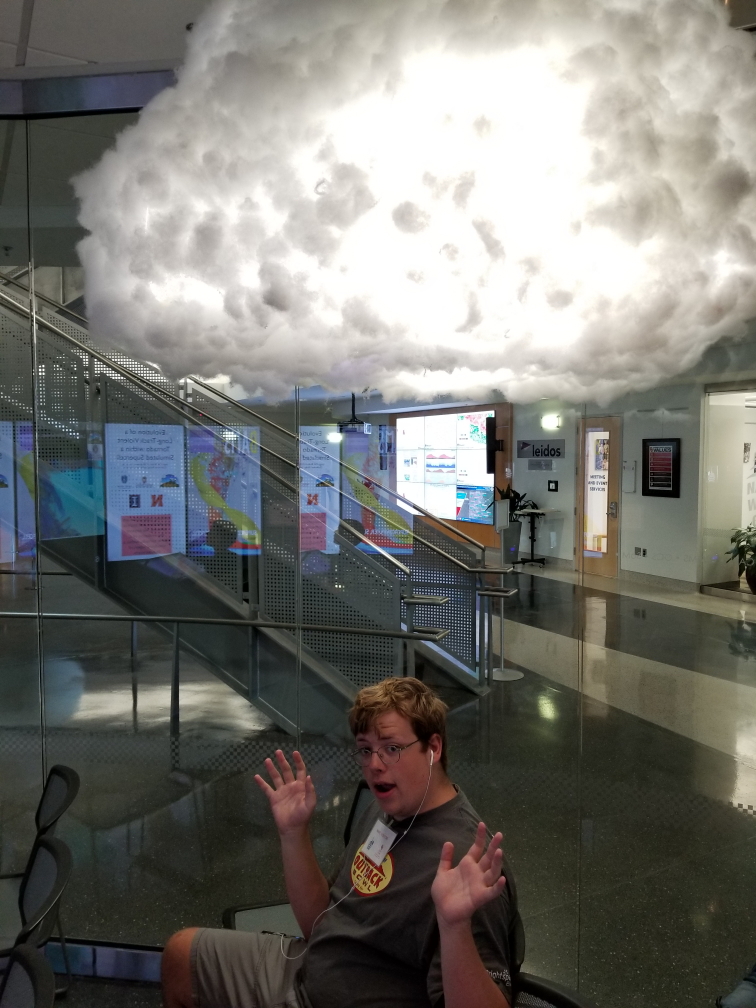
A lightning lamp has Addison in its sights!
Our tour guide was a rising Junior in Oklahoma University’s meteorology program named Mackenzie (I think — substitute a different millennial-sounding name if desired). She was planning to focus on broadcast meteorology and doing the tours was a way of practicing public presentation (reducing “umm”, “like”, etc.). She explained that the NWC housed not only federal meteorological departments like the Storm Prediction Center (SPC) and National Weather Service (NWS) for Norman but also academic ones such as OWL and private ones as well, including one with the sole purpose of producing tailored forecast for merchant ships around the world. She talked about the large globe and that on May 4 it was made to look like the Death Star. Additionally, the wall for weather information could be used in off-hours during slow meteorological times for playing around with, like Mario Kart.
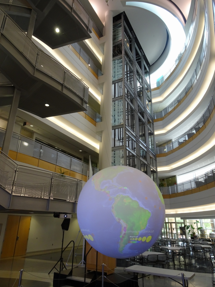
The large globe in the open area of the NWC
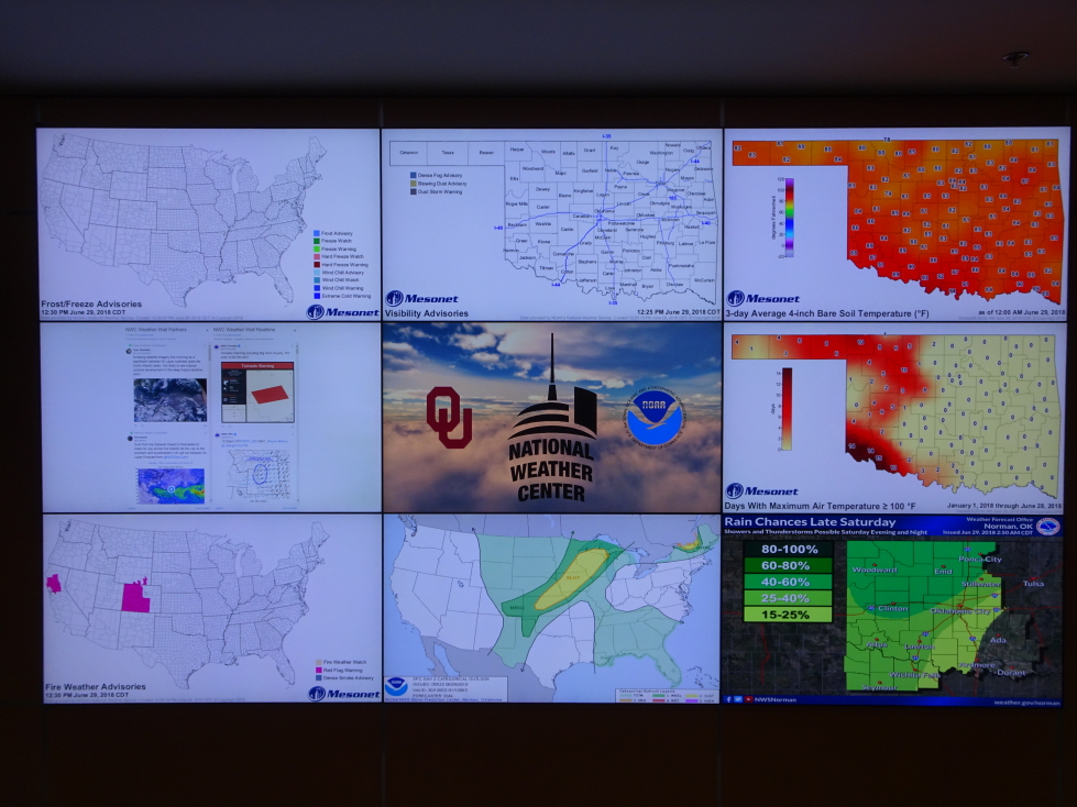
A nine-panel wall of weather awesomeness!
She showed us a couple of movie prop Tornado data gathering machines built for the movie Twister as well as a real one called Toto. Adjacent to that was the cafeteria, the Flying Cow Cafe, with a name inspired by the flying cow in that movie. They were going to name it that or the Iso Bar and Grill — personally I liked that more. We rode an elevator up to the observation floor near the top of the building. Once there she explained that the NWC was funded after the May 3, 1999 EF5 tornado devastated Moore just to the north of Norman, killing 41 and causing $1B in damage. It finally opened in 2006 and the research done there has helped increase warning time. The observation floor was ideal for spotting incoming storms (sadly none were on offer) as visibility over the very flat — but surprisingly tree-covered — terrain was incredible. She also went into detail about her hometown meteorologist in Ohio and how he inspired her to become a meteorologist.
Props from the movie _Twister_ on the left, a real one on the right
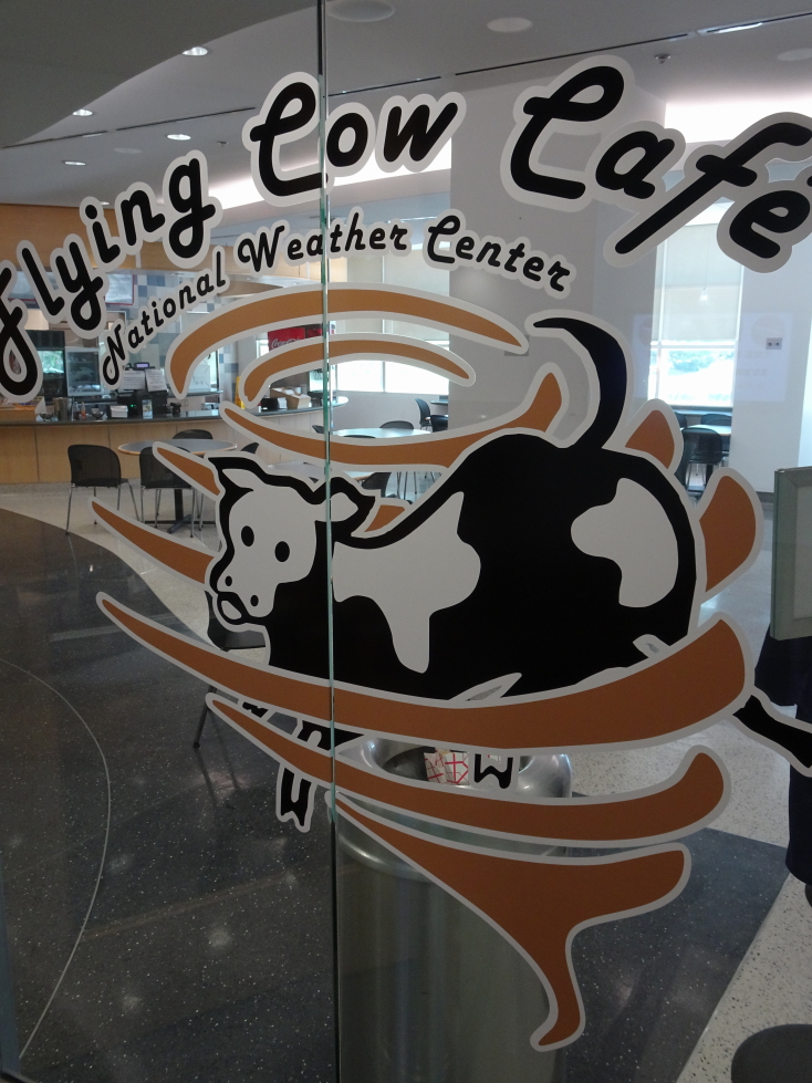
The Flying Cow Cafe (should’ve been the Iso Bar and Grill!)
We stepped out onto the roof for a better view then went down the stairs to the second floor where we were able to observe the SPC (even having director Bill Bunting answer a question for her about hail prediction and indicators) as well as the NWS operational rooms. Neat — monitors and computers and meteorologists sitting at desks assimilating information to prepare their forecasts. After some questions we were free to wander the lobby once again. It was about 3p or so and after thirty minutes of playing with finding home, NWC, etc. on the seven-panel via Google Maps and buying some things we headed out.
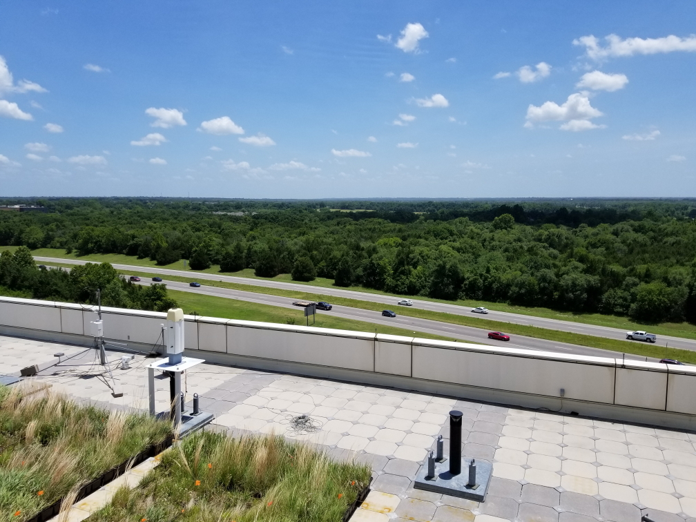
View from the roof of the NWC
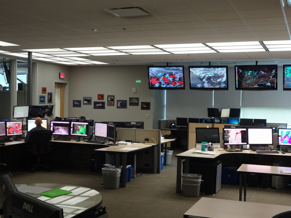
SPC operations center at the NWC
NWS Norman forecast office at the NWC
In all I have mixed feelings about the tour. There wasn’t a ton of material, not enough to fill an hour and a half to two hours. It makes sense, though, it would be a bad idea to have tours interfere with the meteorologists’ work. They should’ve shortened the tour, then. Rather, she padded the tour with a lot of talking about her life, her goals, etc. I’m glad we went, and I’m glad giving these tours will help the guide with her goals, but I was left wanting a little more. But hey, it was free, and it was really cool to see where the magic happens, so there’s that at least.
Hit I-35 again and had to go through Oklahoma City. I figured it wouldn’t be that bad despite being a Friday as we were passing through around 3:30p to 4p. Wrong, quite heavy traffic was to be had and I also missed a turn but got it sorted pretty quickly. One crazy thing we heard on the radio was about an accident at I-40 and Harrison Avenue. We did a double take but it turns out that Oklahoma City has an intersection of the exact same streets as we have at home!
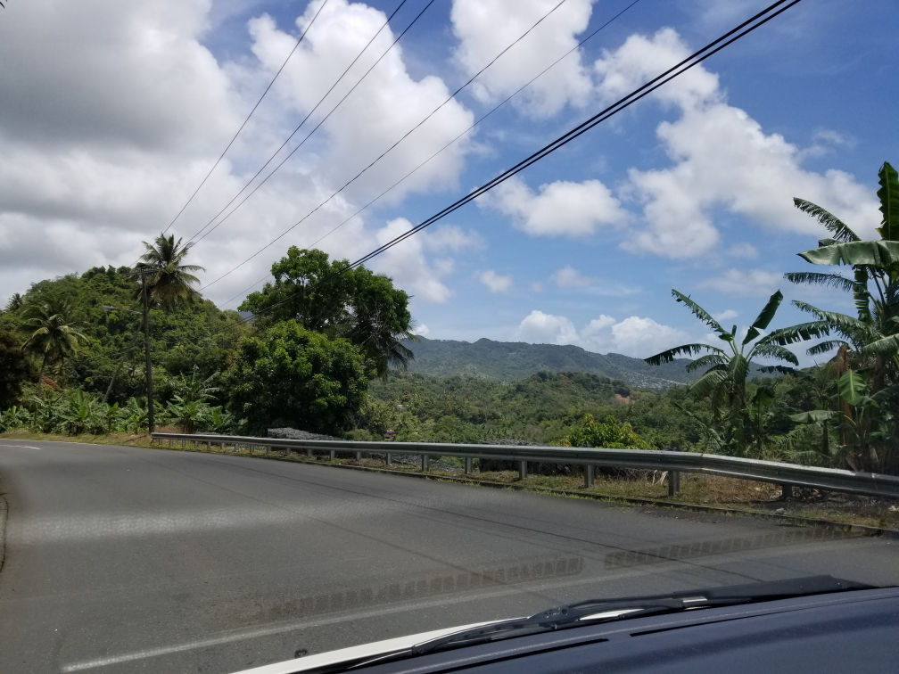
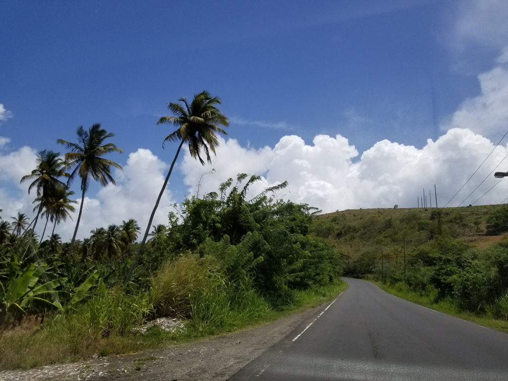
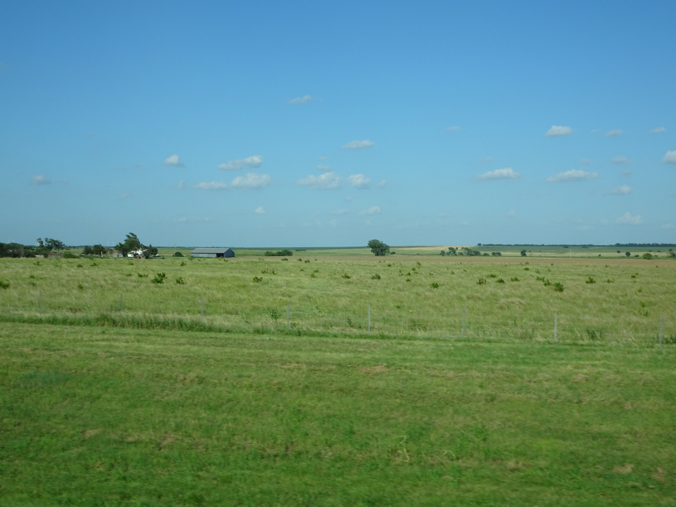
Once free of Oklahoma City we drove due north across the increasingly grassy plains, the trees becoming quite rare by the time we approached the Kansas state line. I was surprised that there were a number of cedar trees as I never imagined them doing well on the plains. In addition we saw many large windmills (not the Wizard of Oz ones but the modern tall three bladed ones). We stopped by a small Chinese buffet place called Dragon Palace (though I kept calling it “Dragon Place” to annoy Genetta) in Blackwell that was quite good — especially these coffee-flavored finger cakes. Yummy!
Oklahoma scenery north of Oklahoma City
Crossed into Kansas shortly after dinner — Michelle and I’s 49th state! Turns out I-35 had a toll on it to Wichita which was annoying, It was only $2.25, though, and had human toll collectors so I guess it was OK. Kansas state routes were denoted with black numbers on a bright yellow sunflower. Very striking and quite cool. We finally arrived in Maize, a suburb to the northwest of Wichita, at about 6:30p. I was struck by how many small lakes were dotted about the landscape, many with walking trails snaking around them. Also, the roads were laid out in a grid and so very, very flat.
Kansas scenery south of Wichita
Checked into our hotel at 7p and immediately headed back out. I had been wanting to try Braum’s ice cream, Braum’s being an Oklahoma eatery serving ice cream, burgers, and the like — basically a DQ. I had butter pecan and pralines, Michelle a small sundae, and Genetta chocolate with almonds. I found mine a bit too sweet, honestly. Oh well. We then headed a few blocks to Warren Theatre where we watched Jurassic World: Fallen Kingdom at 8:45p. The seating was stadium seating — never again, my old knees can’t handle that. The movie wasn’t great, but entertaining enough I suppose. The theater itself, however, was gorgeous — a main lobby with beautiful lighting and murals showing mythological themes all about as well as smaller lobbies tucked here and there similarly impressively decorated.
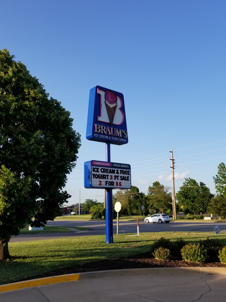
Braum’s a DQ-like Oklahoma-based chain
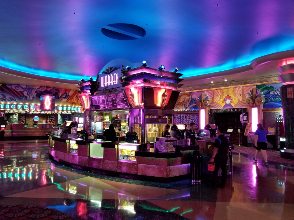
Impressive lobby of the Warren Theatre in Maize, Kansas
After leaving I noticed the car seemed to be stalling at lights — not good! As we were quite far away from Dallas, not good at all! Especially as we had a schedule to meet to be where we needed to bed down each night and some of those places were far, far away from a Budget office. Got back to the hotel about 12a, offloaded pictures from the cameras, and got to bed at 1a.
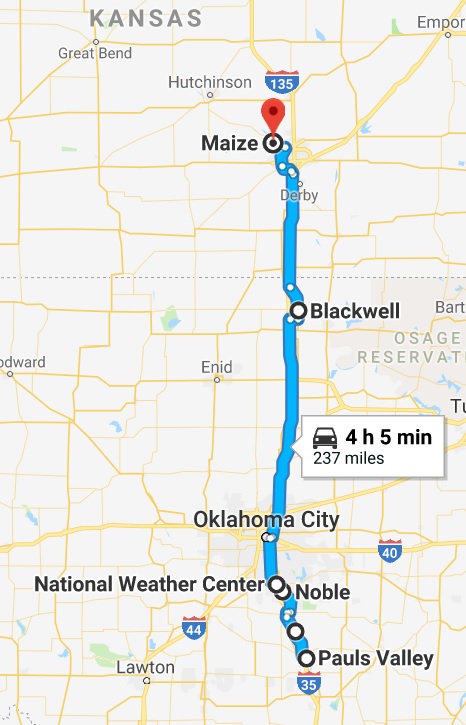
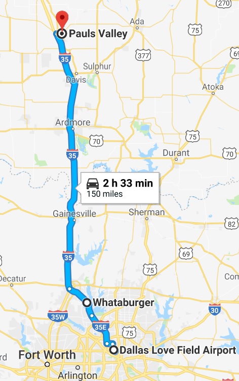
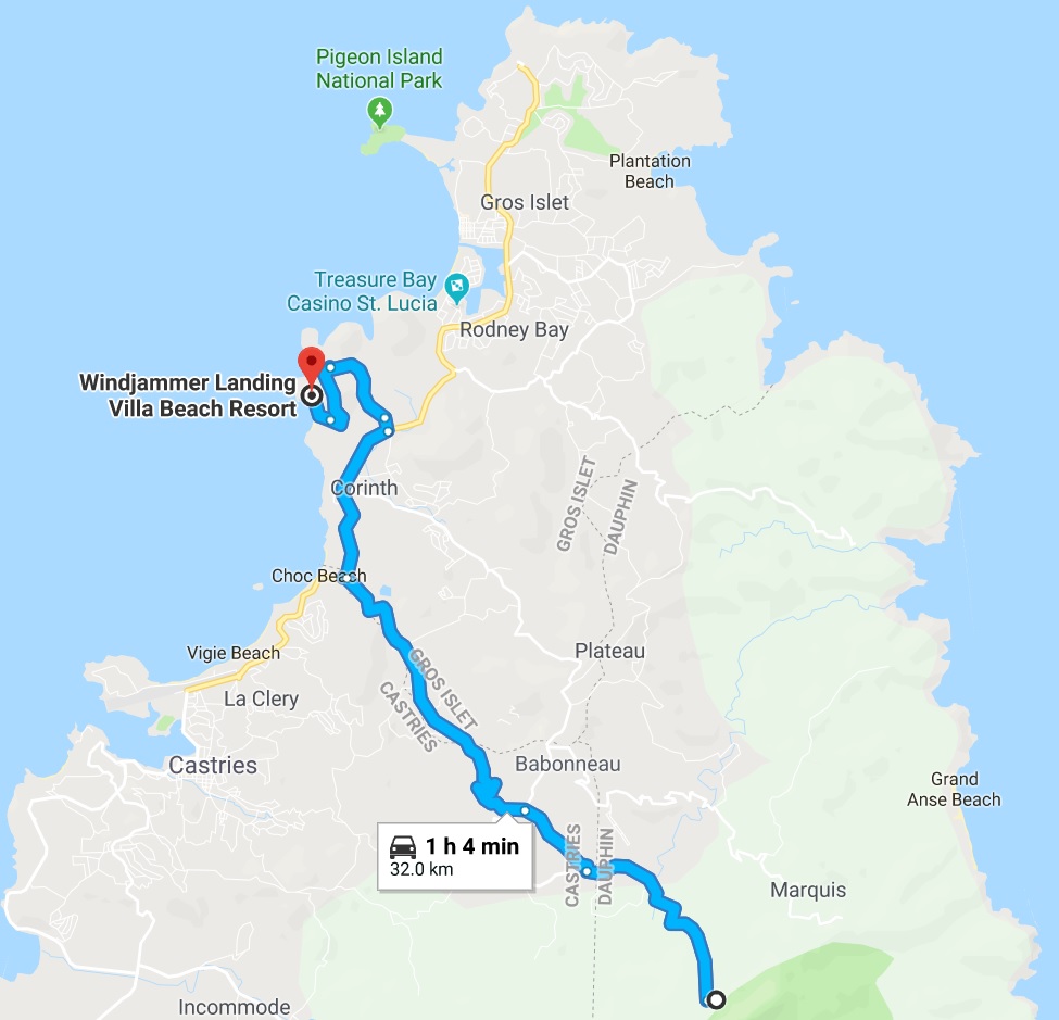
Route for Friday, June 29th, 2018