We awoke fairly early and were out by 8:30a. Holding our breath, the car started with no issues. First order of business was to figure out what was up with the stalling at stop lights. I tried to get into the glove box but failed (in fact, I never figured it out during our vacation). Undeterred I found the manual for the vehicle on line. It’s a feature! Apparently when stopped for a few seconds the vehicle actually cuts of the engine to save gas and re-starts it (must be a fairly soft start) once the accelerator is pressed. Feeling much, much better about things we got some gas then headed northwest about forty-five minutes to the town of Hutchinson, Kansas.
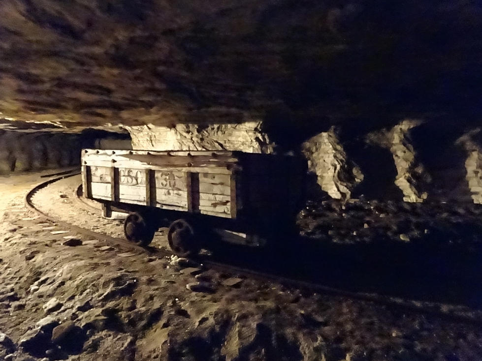
Arrived in Hutchinson, home of the Hutchinson Salt Company, at around 9:15a. We had a 10a tour of the salt mine, called Strataca for some reason. My co-worker Drew had suggested this destination and it’d prove to be a great choice as everyone had a great time. In front of the building was a small railroad engine used to haul salt and some kind of contraption we couldn’t figure out. Inside there was a video and a large waiting area. There were a few Amish folks chatting away on cell phones which amused me. I guessed so long as they didn’t own the phone it was probably OK. As we were 30 minutes early from the stated arrival time of 9:45a we got to go on the earlier 9:40a tour. After getting hard hats on (affixed by turning a screw at the back of the hat) we piled into a lift. The lift was cool because it was actually a double-decker. It was, however, quite small and it was incredible to learn that everything in our out of the mine went down via the lift (often having been disassembled). Once in the lift our guide closed the doors and we started the 650′ descent. They kept the lights off and it got pitch dark for a good portion of the more than one minute ride.
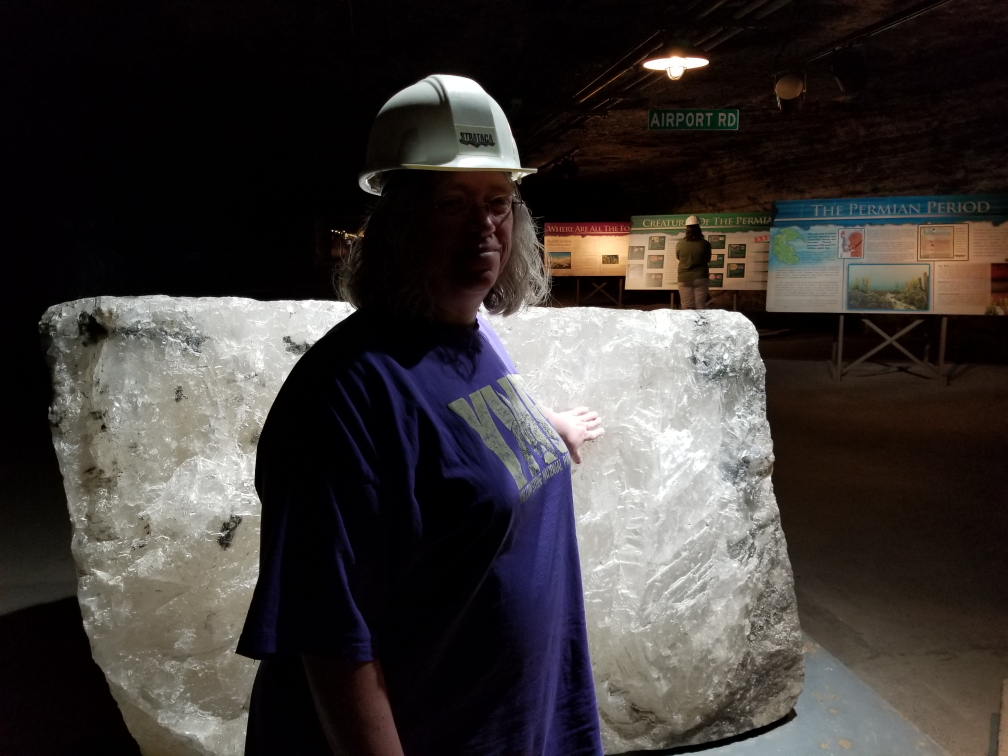
Michelle touching a large block of salt
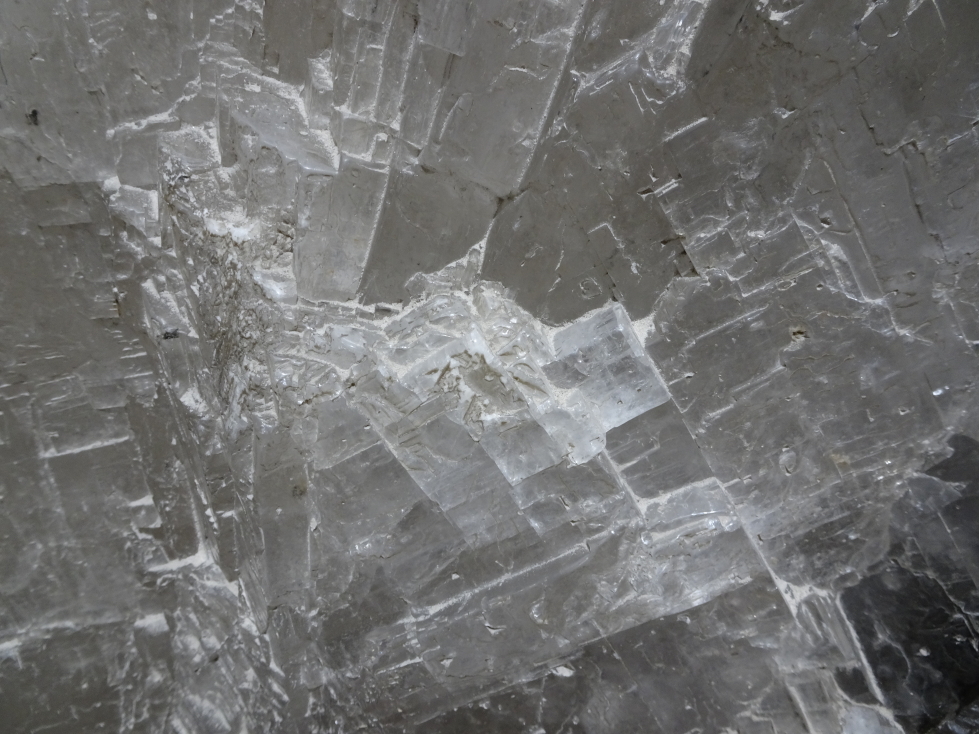
Closeup of the block of salt
The Hutchinson Salt Company manufactures salt for roads, not the table. It opened in the 1920s and is still mined today, though the size of the crew has gone from fifty or so down to twelve per shift (of which only four are actually miners, the other eight are safety engineers, mechanics, etc.). There were displays explaining how the salt came to be down there as a Permian era sea dried up. Above the salt vein (which was a couple hundred feet thick) lay the massive Equus Bed Aquifer (which kind of creeped me out thinking of all that water above our heads) as well as a few pockets of oil. The roof was at a comfortable 10 foot height or so, which was nice. We saw strips of plastic that the miners dangled from the roof to help ensure that they kept the corridor level.
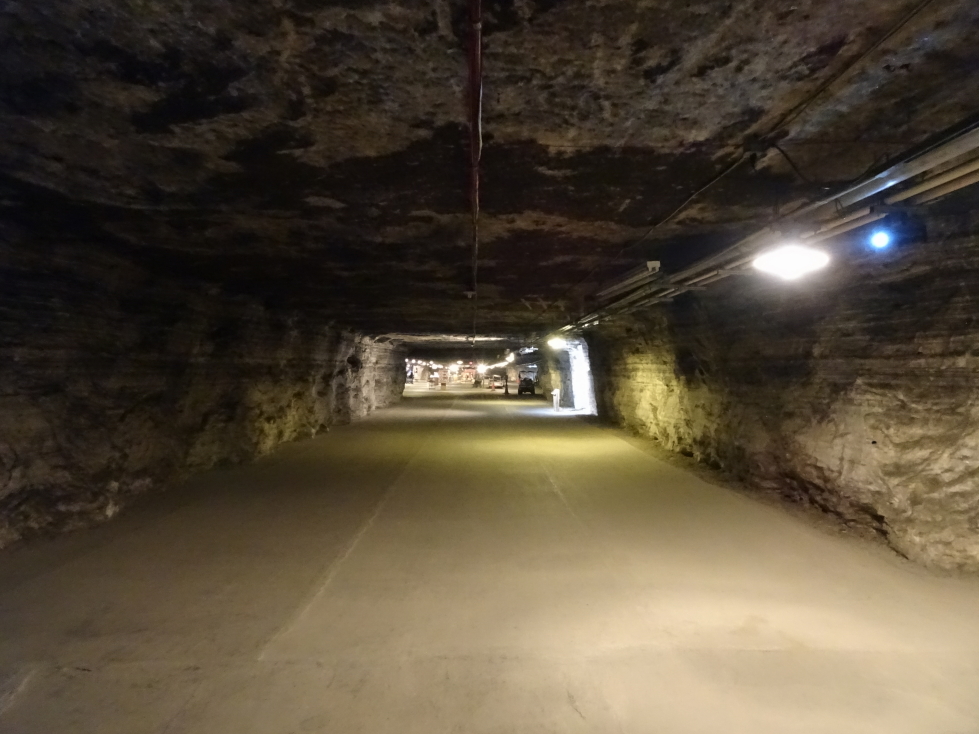
One of the corridors in the salt mine
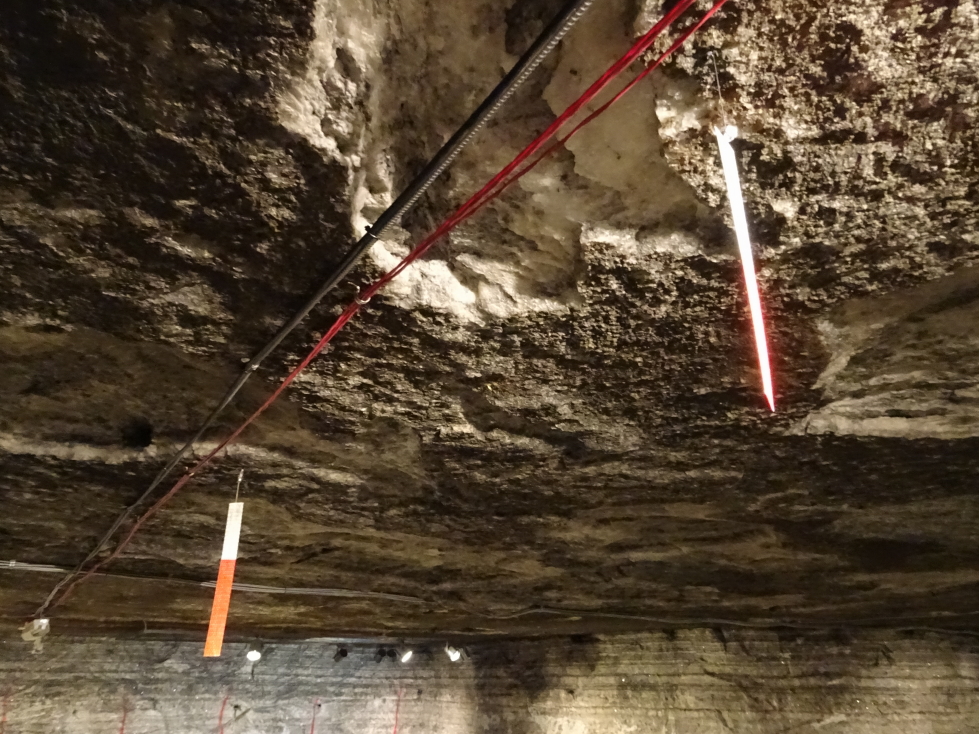
Strips that help miners keep the roof and floor of the corridor level
We walked among machinery used in the mine like tractors, extractors, etc. and got to see the conveyor belt system and rails that helped move salt to the lift from its extraction point. Additionally there were vehicles that miners used to cruise about the mine. They were disassembled up top and only the essential bits were moved down into the mine — no doors, seat belts, etc. Additionally they were often a hodgepodge of multiple vehicles. Originally using diesel they mostly ran on biofuels more recently. There was an exhibit about bacteria that had been found in the mine that may be hundreds of millions of years old. Not sure I like the idea of trying to bring that kind of thing back to life…
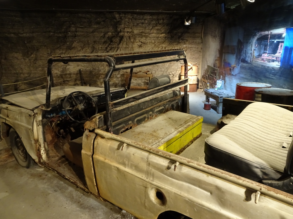
Car used by the miners to get around the mine
Another thing that the salt mine as used for is storing artifacts and records, mainly from Hollywood. The cool temperature, geological stability, and low humidity (salt helps extract moisture from the air) made it an ideal spot for that purpose. They had a selection of artifacts on display like glasses and “the cricket” gun from Men In Black, George Clooney’s Batman suit (with molded nipples!), old posters, and lots and lots of reels of film of movies such as Cocoon and Shawshank Redemption. They even had yet another of Twister‘s tornado measurement array props, Dorothy II, and Sacha Baron Cohen’s NASCAR suit from Talladega Nights!
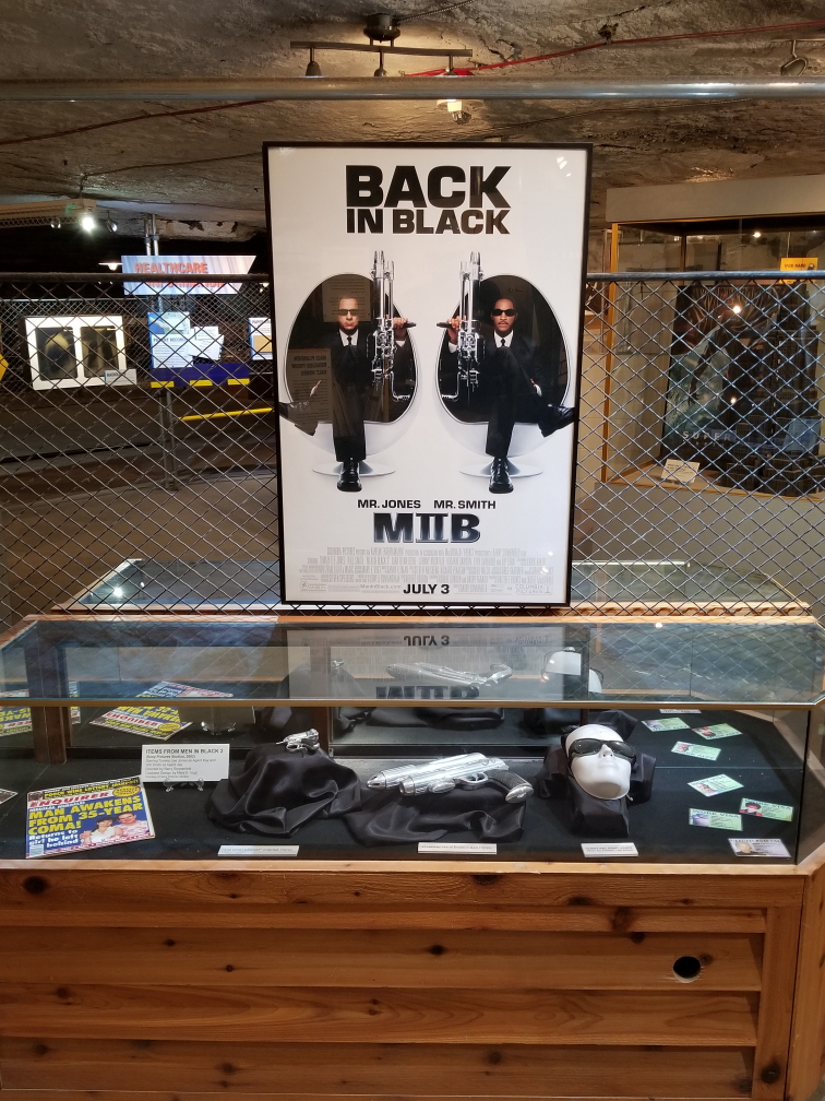
Men in Black artifacts
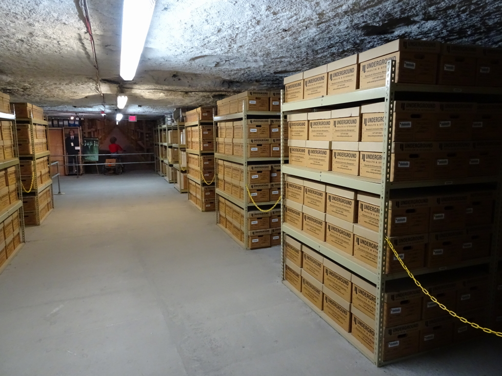
Boxes of film of movies and TV shows
We took a ride on a train that took us through some of the mine. It was neat and we got to see trash left in the mine due to the cost of removal, including a mass of vintage wrappers and containers, a calendar from the 50s, etc. We followed this up with a ride on an electric series of hitched cars which took us into another part of the mine. The guide turned off the light and let us see (or not see!) total darkness. She explained that fans pumped in fresh air and that baffles were needed seal off no longer used passages and direct the air to where it was needed. Originally rocks or empty dynamite boxes were used but that was very labor intensive. We saw modern baffles, essentially just large curtains that could span across passages as needed. At the end of the ride we stopped at a pile of salt and were able to choose a sample of our own that we placed in a small canvas bag.
Abandoned salt mine car
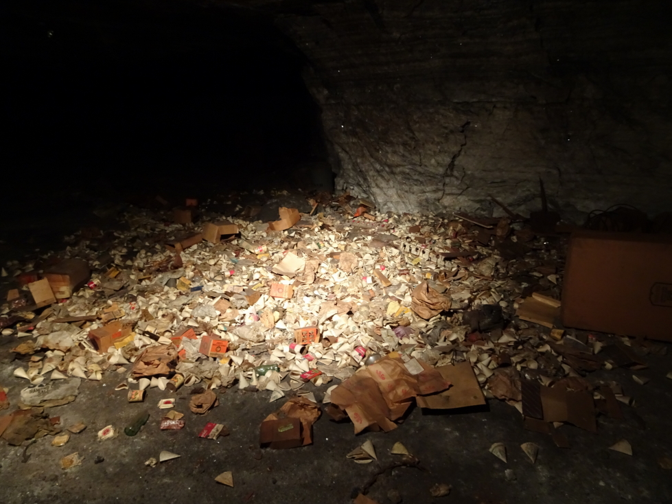
Pile of trash left in place, cheaper than hauling out via the lift
We left the mine about 1p and drove south a few minutes to the town of Yoder where we ate at the Carriage Crossing Restaurant and Bakery, an Amish-run establishment that came recommended online and by some of the Strataca folk. Though there were lots of people it was a large place and we were seated and served quickly. I had the country fried steak, corn, and mashed potatoes with brown gravy. Michelle had a fried chicken salad, Genetta the chicken fried chicken with mashed potatoes with white gravy (better choice) and green beans, and Addison a roast beef sandwich with fries. For appetizers we had fried mushrooms (quite yummy) and we splurged on dessert as well. I had cherry pie a la mode, Genetta a slice of German chocolate cake with walnuts, and Michelle a slice of apple pie. It was a decent country meal. There was a small store attached (near the register, of course, to capture people on the way out) that sold lots of country / religious stuff. The bathroom was interesting in that each urinal had a copy of an Amish / Mennonite paper named “The Budget” that summarized news from many of the communities across the nation (turns out that Tennessee had seen six to seven inches of rain and the gardens were late in getting planted). Unfortunately, despite the size of the restaurant there was only one stall for men, meaning quite a wait.
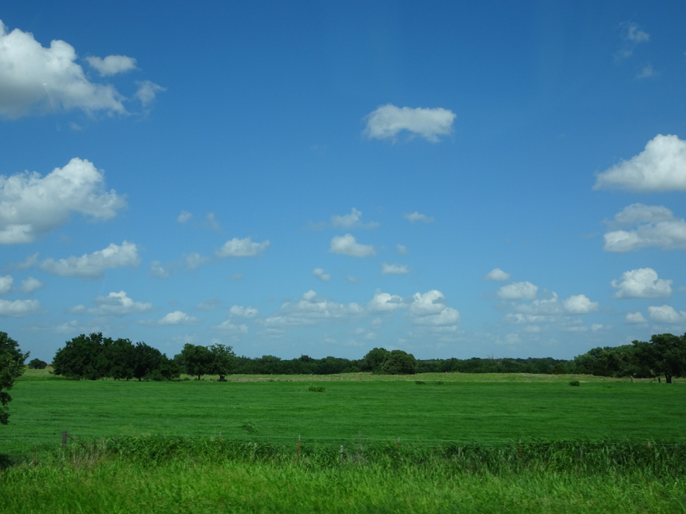
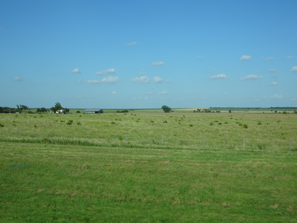
Our stomachs full, we hit the road at 2p for the long drive to Monument Rocks (about three hours away). We switched driving for a while to break up the monotony. Though rural Kansas can be quite beautiful, and small farming towns with their grain elevators charming, there’s just so much of it. We also stopped by a Dollar General for some supplies. Along the way we stumbled upon a beautiful spot of prairie and marshland called Cheyenne Bottoms. I got out of the car and walked a bit on an elevated walkway, enjoying the stiff breeze blowing through the grass (but not so much the insects that kept trying to sting me). There were also oil derricks and vast windmill farms scattered about the landscape as well so it wasn’t really that boring at all.
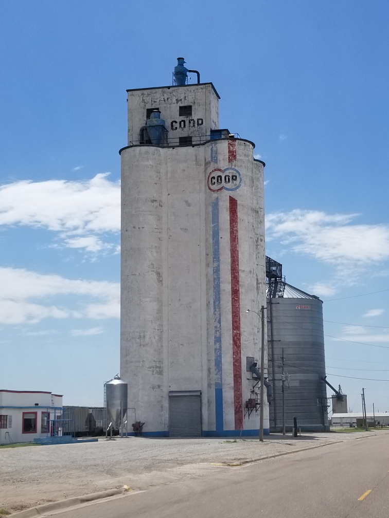
A grain elevator in central Kansas
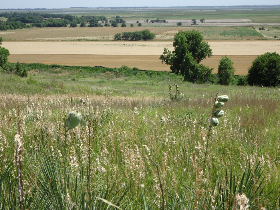
Interesting seed pods (I guess?) on plants in Cheyenne Bottoms, Kansas
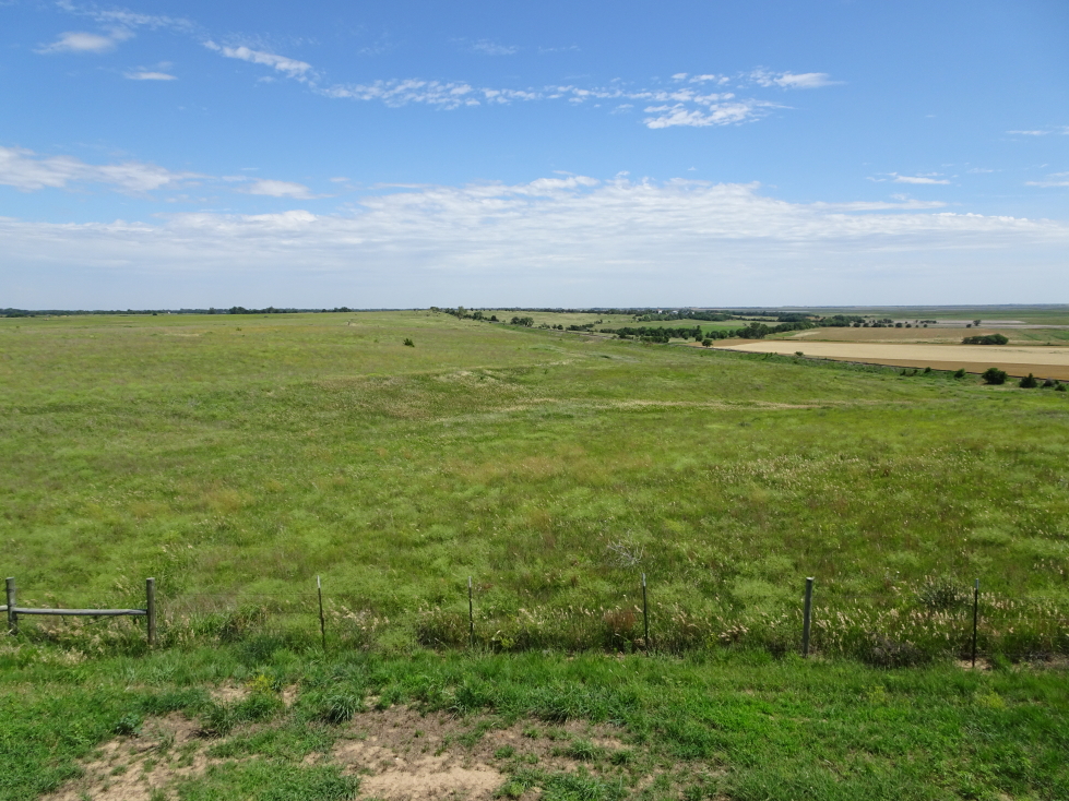
Another view of Cheyenne Bottoms, Kansas
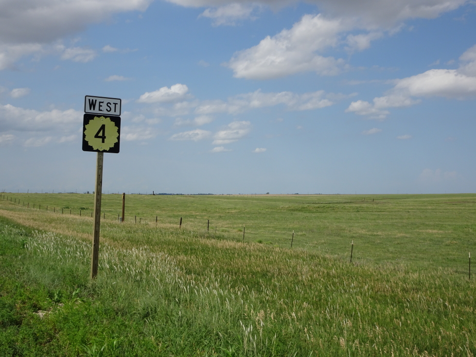
Kansas is the Sunflower State and state routes display that proudly!
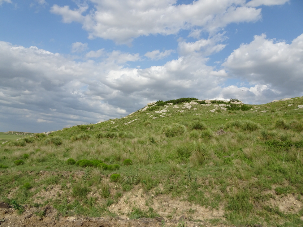
A bit later we finally turned on to a dirt road that ran between farms and into and out of small ravines. There were pockets of natural prairie and we saw a fair amount of wildlife — a few prairie dogs, a small flock of turkeys, and even a jackrabbit. Monument Rocks loomed before us at about 6p. They made quite the impression, particularly being in Kansas — a state not exactly known for impressive geology. Addison and I walked around the rocks and took pictures (and welcomed the shade they offered from the harsh evening sun). Despite the remote location and relative difficulty in getting there we did see a couple of other visitors. A small display showed a school class standing on top of a rock formation (no longer allowed) that had since toppled (probably why it is no longer allowed).
Landscape near Monument Rocks, Kansas
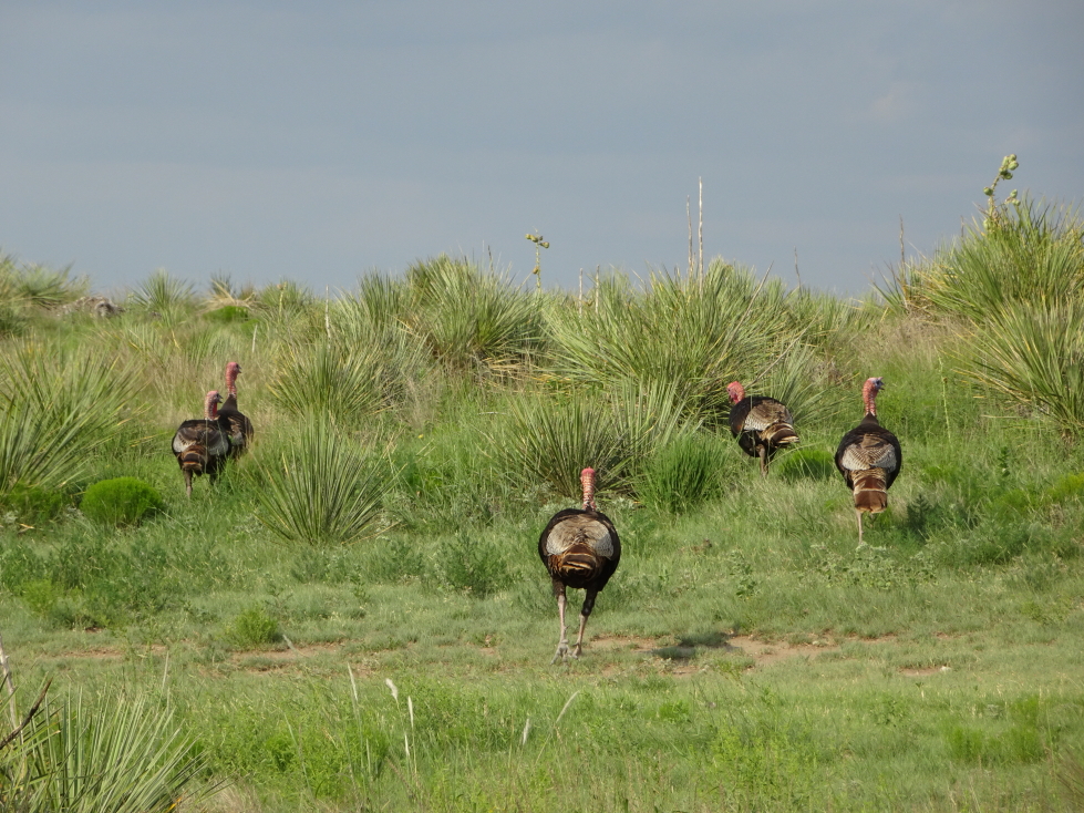
A flock (?) of turkeys
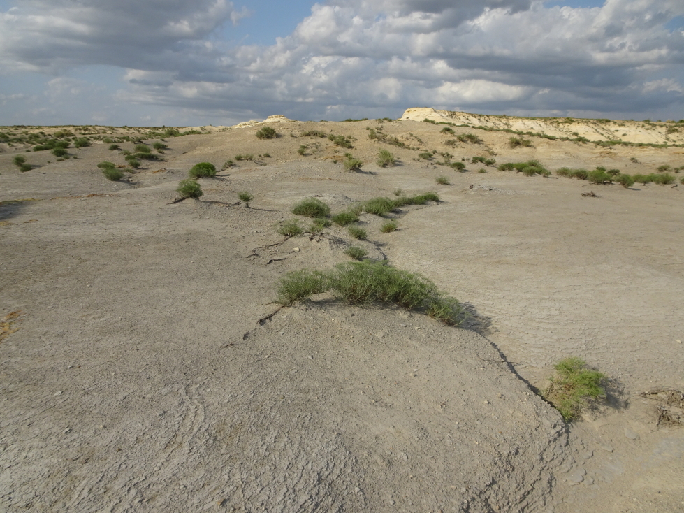
Almost desert-like terrain near Monument Rocks
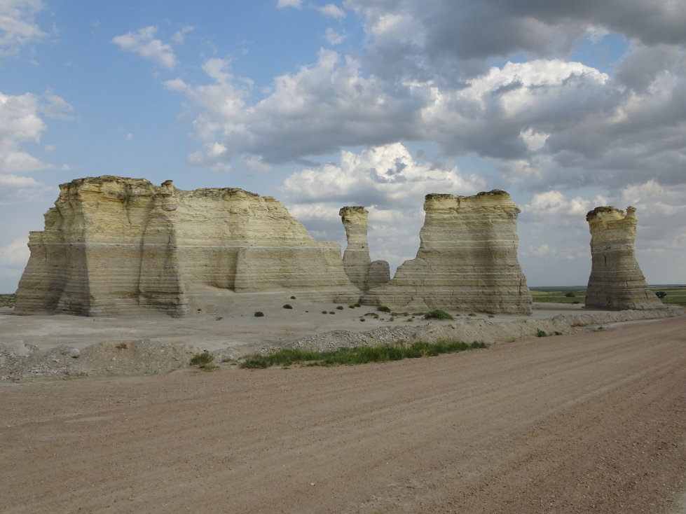
Monument Rocks, Kansas
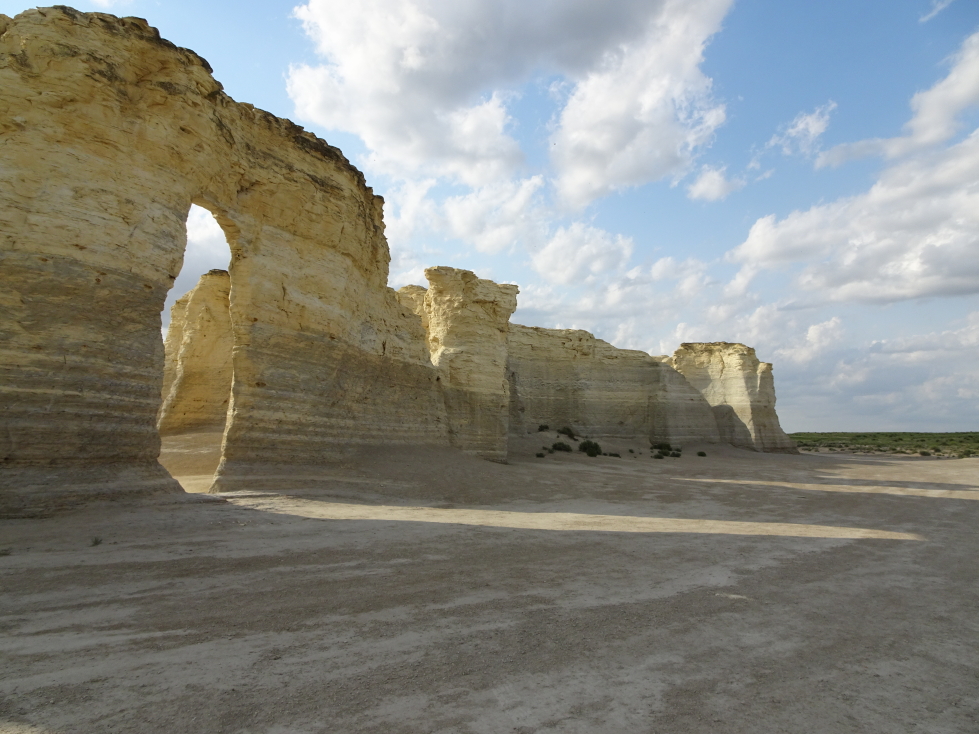
The late afternoon sun shines through arches at Monument Rocks
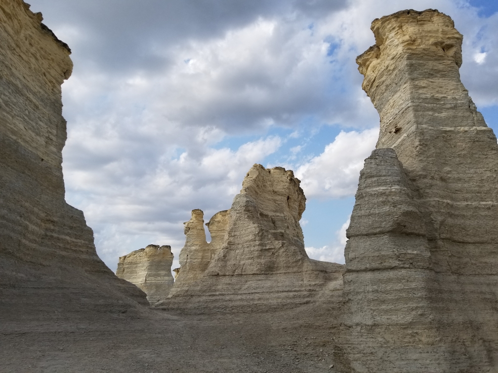
Another view of Monument Rocks
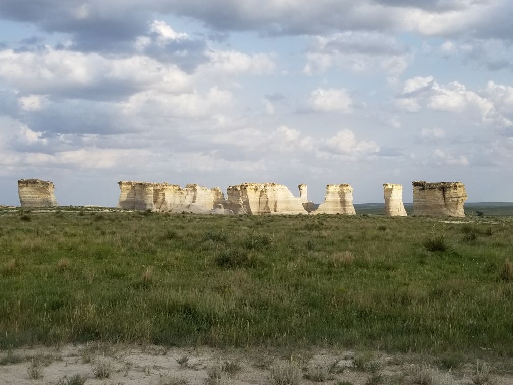
One last wide shot of Monument Rocks
Leaving the rocks we saw another jackrabbit as well as a deer. Nifty. Headed north toward Colby, arriving ahead of an incoming cluster of storms at about 7:45p. An earlier storm had passed to the north and had apparently dropped 2″ hail and spawned a tornado. I wanted to chase it but Michelle vetoed that idea. Texted Greg and he said I always did no how to pick ’em smart. Yeah, probably was not a great idea to go chasing a tornado in an unfamiliar area as night approached. Besides, another storm was approaching from the west that could prove interesting.
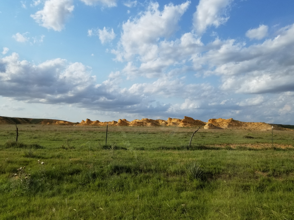
Another group of rocks in Kansas — yes, Kansas has rocks!
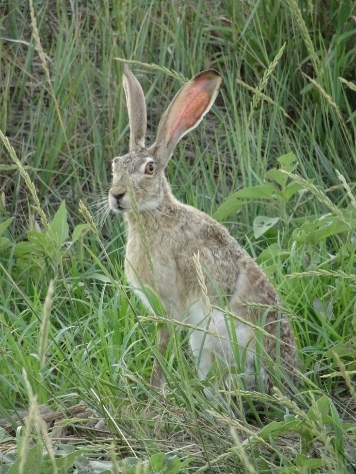
A jackrabbit
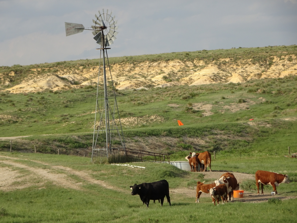
Cows hanging out near a windmill
…and how! After checking into the Holiday Inn Express we decided to head to the Mexican restaurant, El Dos De Oros, located in the Quality Inn. It was excellent and had glorious liquid white queso like our long gone “cheap Mexican” option had. I had steak burritos, Michelle a chicken quesadilla, Genetta an enchilada and chicken quesadilla, and Addison fajita nachos. For an appetizer we had chips and queso. Just as we finished our meal and the bill arrived the power winked out. We settled our bill in cash, feeling sorry for those that hadn’t received their food yet.
The storm was howling, first with some small hail that thankfully remained small — would’ve hated to have 2″ hail pummel our rental — and torrential rain. The wind was fierce, easily 50 to 70 mph and pretty constant, as was the lightning and thunder. I first stood in the hotel, then later under the entryway outside, with Addison admiring nature. A fireworks stand nearby was being shredded by the wind and I’m sure the rain ruined a bit of the inventory. Addison and I kept hoping lightning would strike it and ignite the fireworks but no such luck. We met with some bikers who had parked their expensive ($50,000 for two) bikes under the entryway to protect them.
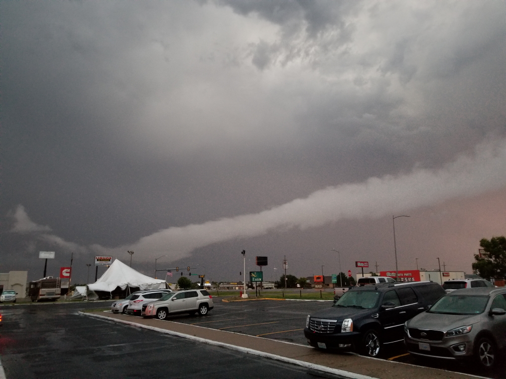
Interesting clouds as a storm strikes Colby, Kansas
Finally about 10:30p the lights in the town came back on and the storm had moved on. We headed to our room and noticed that the temperature was 54F, a drop of 31F from the 85F it was just before the storm it. Incredible! It would be the coldest temperature we’d encounter on the trip, including even cavern and mine temperatures! The adjacent sign for Taco John’s (think Taco Bell) had been shredded by the wind. Blogged a bit and in bed by 1a.
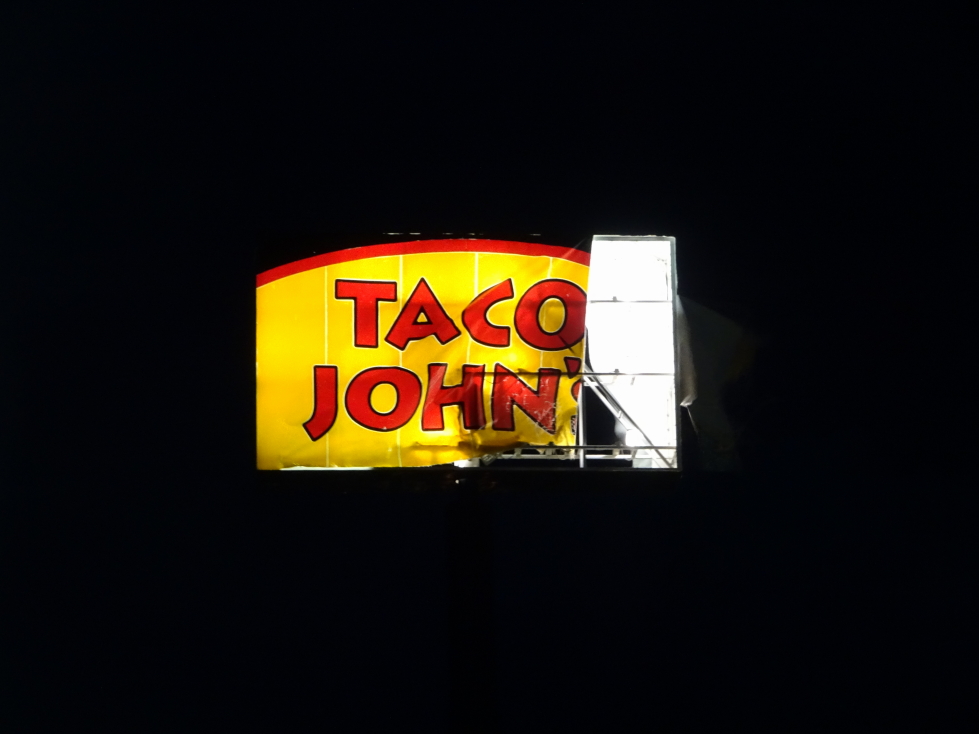
Taco John’s sign shredded by the storm
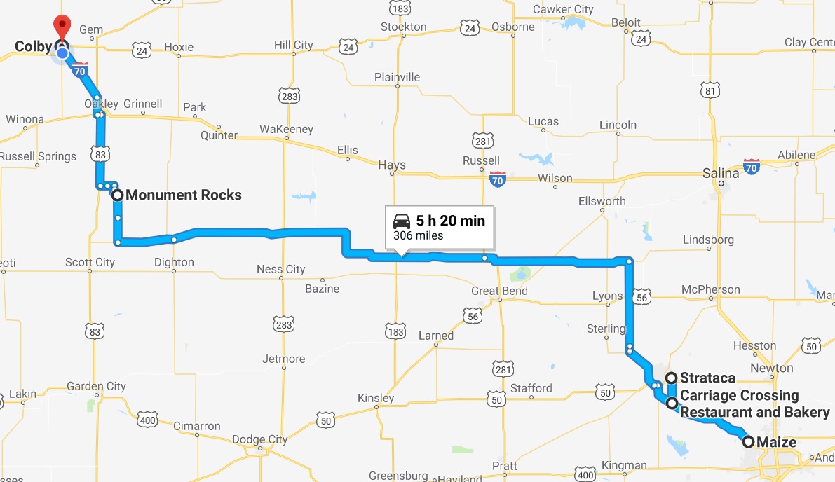
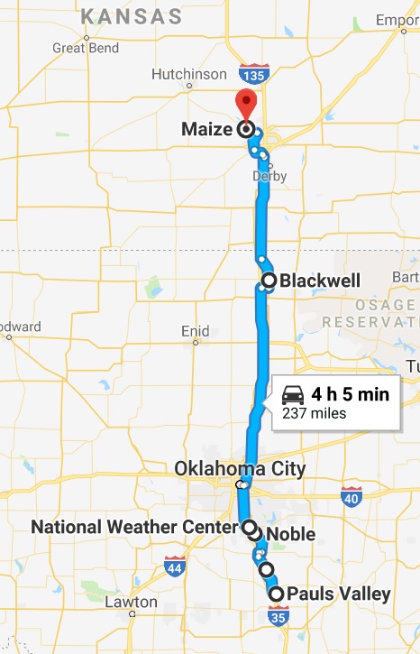
Route for Saturday, June 30, 2018