BigWeather's Blog

July 23, 2015

The Longest Day

Filed under: Travel — Tags: — BigWeather @ 11:59 pm

Awoke early to finish packing for the flight at 8a.  Michelle and I got a little bite to eat at Holiday Inn Express’ free breakfast and let the kids sleep in a bit.  Finally checked out around 11a, headed to downtown so Michelle could do a little shopping, first at the Anchorage Museum.  Would have been neat to tour it but we didn’t have the time to do anything other than check out the gift shop.  Next walked a few blocks to another store or two and saw Town Square Park and their performing arts center and convention center.  Headed to Gwennie’s to eat for the last time.

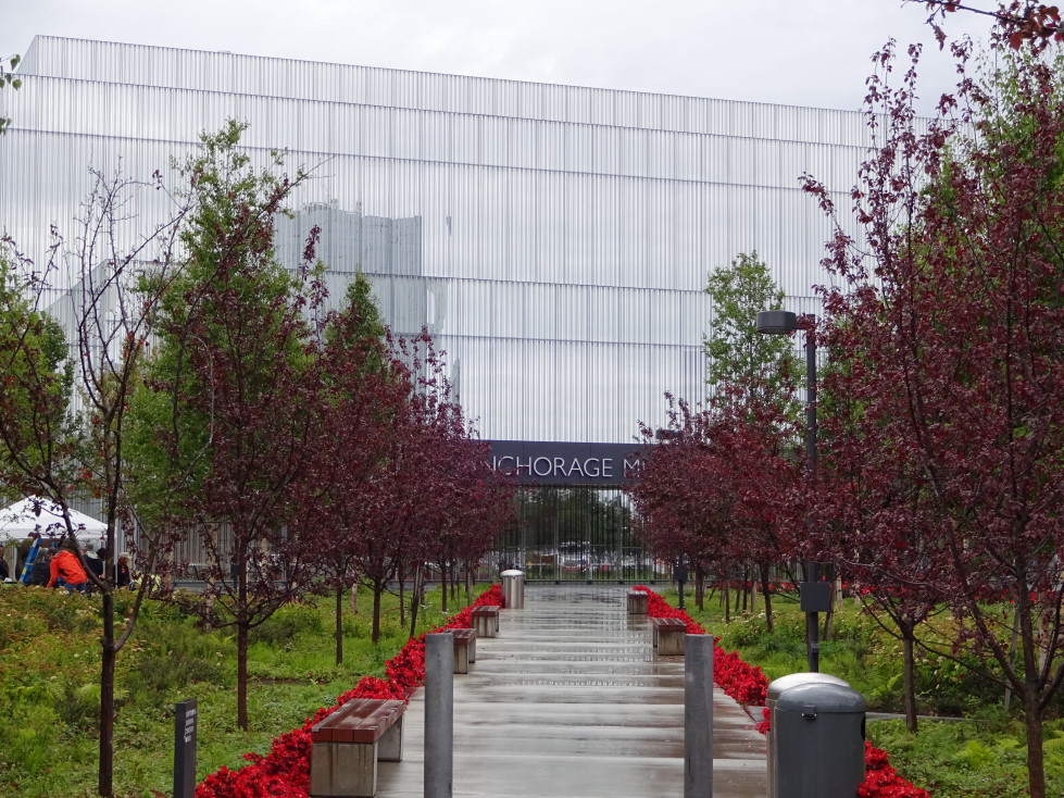
Anchorage Museum in downtown Anchorage

Anchorage's Town Square Park

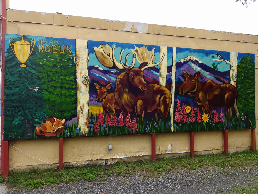
Nifty moose mural in downtown Anchorage

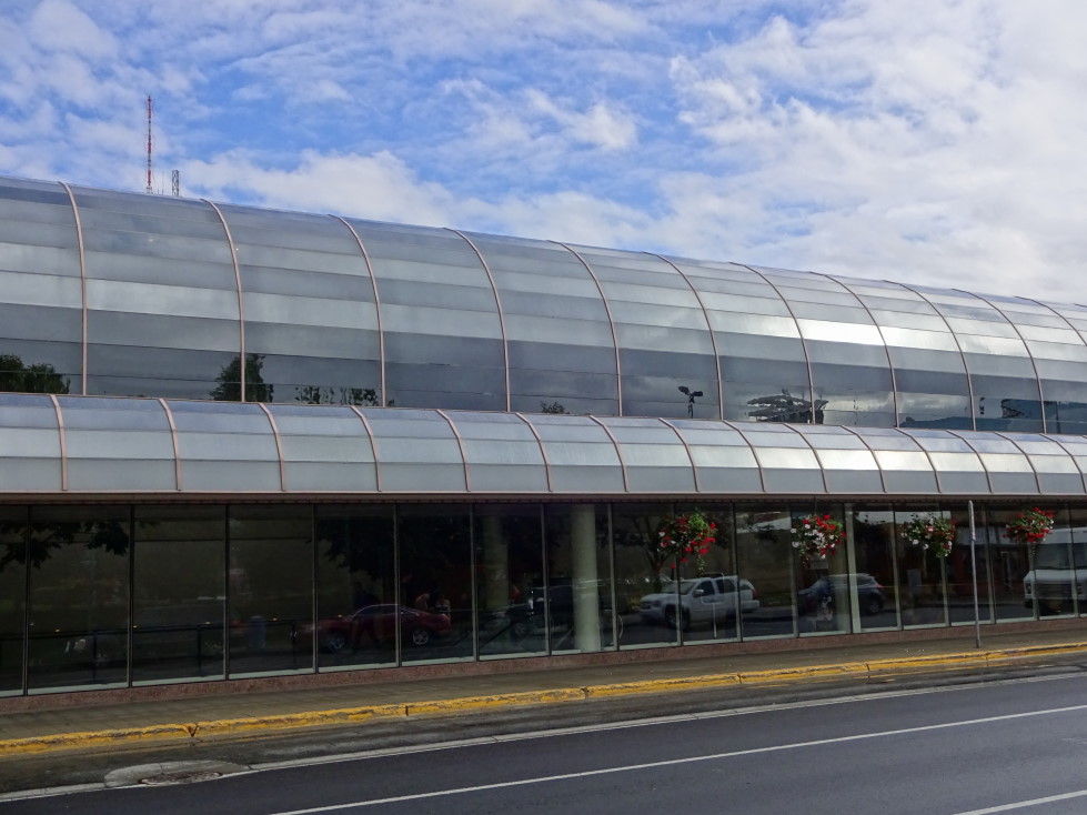
Convention center in Anchorage

Start of the Planet Walk, we saw the end -- Pluto -- in Kincaid Park when we arrived on July 12th

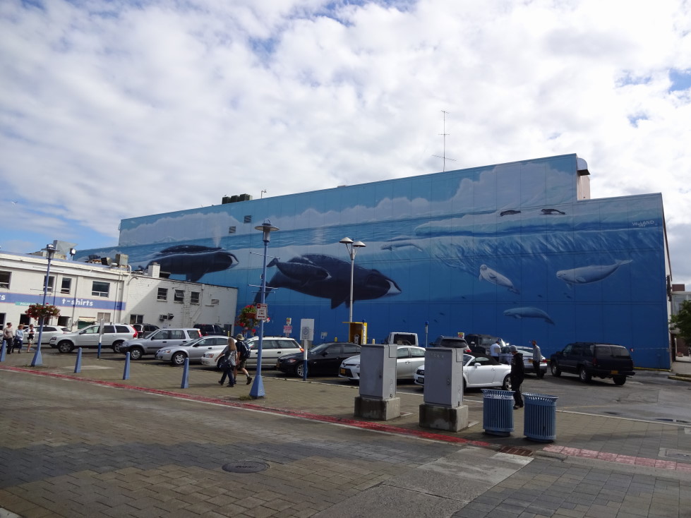
Mural of sea life in Anchorage

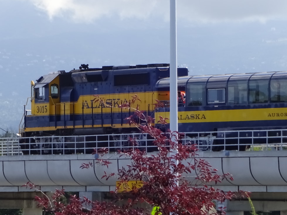
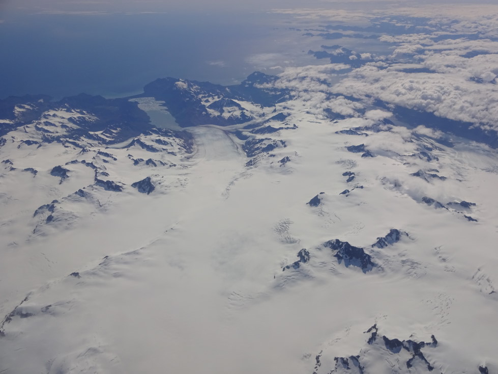
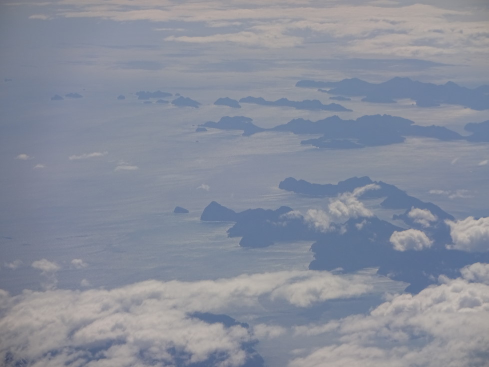
About 1p we turned in our rental car at the airport.  While we were doing that we saw the Alaska train was parked at the airport taking on visitors.  Should we ever get back to Alaska we’ll definitely have to ride that!  Checked in and proceeded through TSA and waited for our flight.  Saw many 747s parked and taking on cargo.  Flight to San Francisco took off without a hitch around 4p.  Unfortunately I was on the right side of the plane so other than a nice view of Kenai peninsula shortly after takeoff and a brief view of Point Reyes, California just before landing I saw nothing but water.  A pretty long flight at four hours, I mainly read a book on Michelle’s Kindle.

Alaska railroad at the Anchorage airport

Cargo planes being loaded at Anchorage's airport

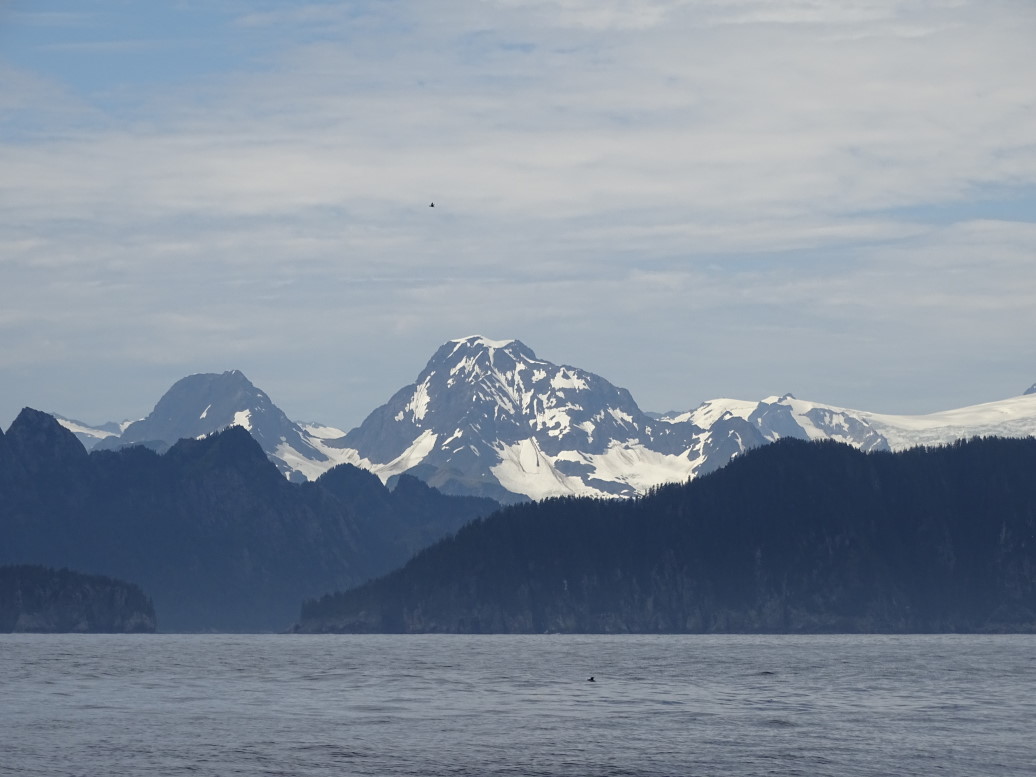
Harding Ice Field and beyond the Chiswell Islands, Kenai peninsula

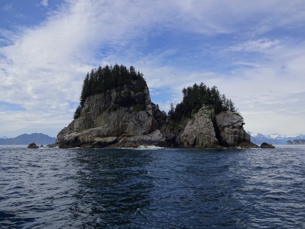
Chiswell Islands, where we did our boat trip on Tuesday, July 21st

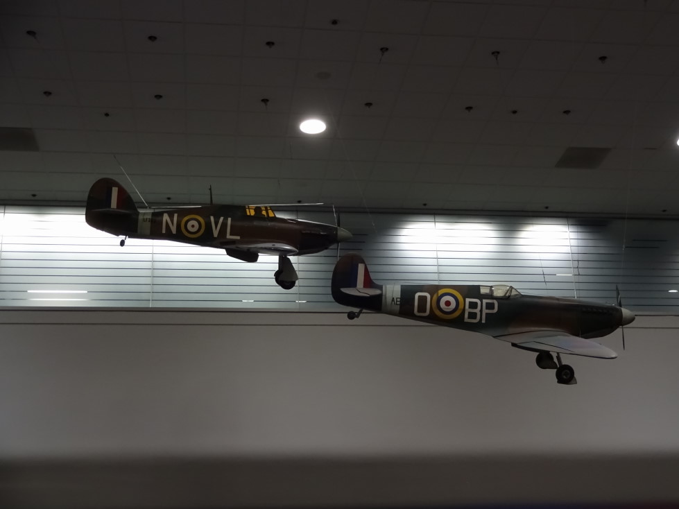
We had very little time in SFO with our next flight departing less than an hour later for Washington Dulles.  They did have cool models of Spitfires flying in the concourse, however.  The four and a half hour flight to IAD was a red eye, arriving at about 6:30a.  Unfortunately are flight to Raleigh was delayed over an hour (for a flight that is only an hour that stinks).  Took the time to get some breakfast — a bacon egg and cheese croissant and a coffee frappucino.  Michelle wasn’t feeling great, however.  Finally got on the plane at about 9:30a and slept the entire way, awakening just before landing and the official end of our trip.

Spitfire models in San Francisco airport (SFO)

Alaska was amazing!  Natural wonders at every turn and abundant wildlife.  The thing that stands out the most is just how empty it was.  Other than a few times on the Kenai peninsula there was hardly any traffic.  The highways outside of Anchorage are all two lane roads.  No interstates (the only state without one) at all.  Unlike almost every other place we’ve been all of the scenic turnouts had tons of parking and it was normal that they were completely empty.  Very little litter either, outside of some in Anchorage.  Be prepared for a bit of sticker shock, however — other than movies (oddly) almost everything is more expensive.  I don’t know whether it is just the remoteness or that merchants only have four or so months to make their money for the year, but it’s about a 20% to 30% markup from the prices we’re used to.  Very friendly people, a very mid-western vibe (in terms of accent as well).  Alaska has also managed to successfully blend the multiple cultures — Eskimo-Indian, Russian, and European.  It is amazing how little is accessible by road and how much the state relies on boats and small aircraft — often float planes and smaller cargo planes were crossing the sky heading to otherwise inaccessible towns and locations.  Some airports were just gravel or grass strips tucked in the woods and most had an accompanying float plane lagoon.  All-in-all it has a very frontier feel, even in 2015.  Remarkable.

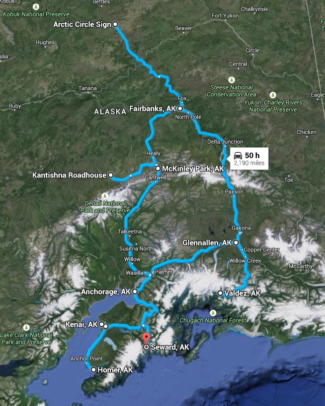
Route for the Alaska trip, July 2015

July 22, 2015

Back to Anchorage

Filed under: Travel — Tags: — BigWeather @ 11:59 pm

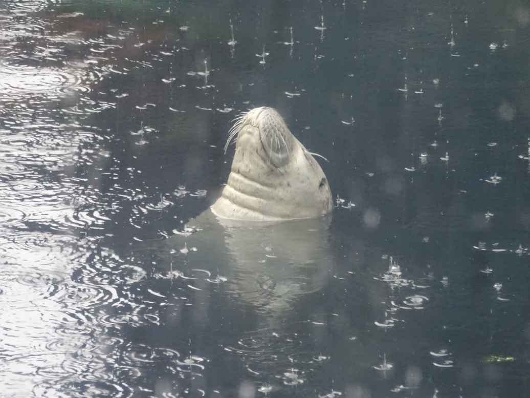
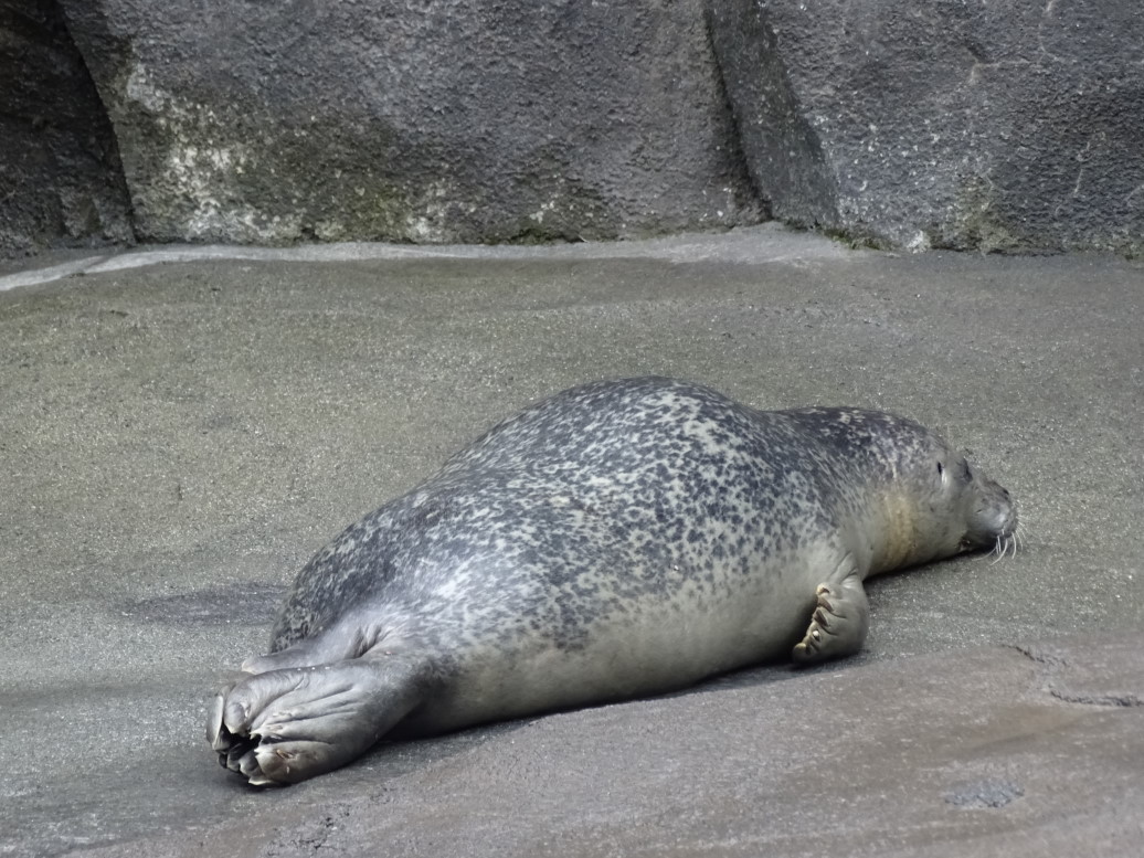
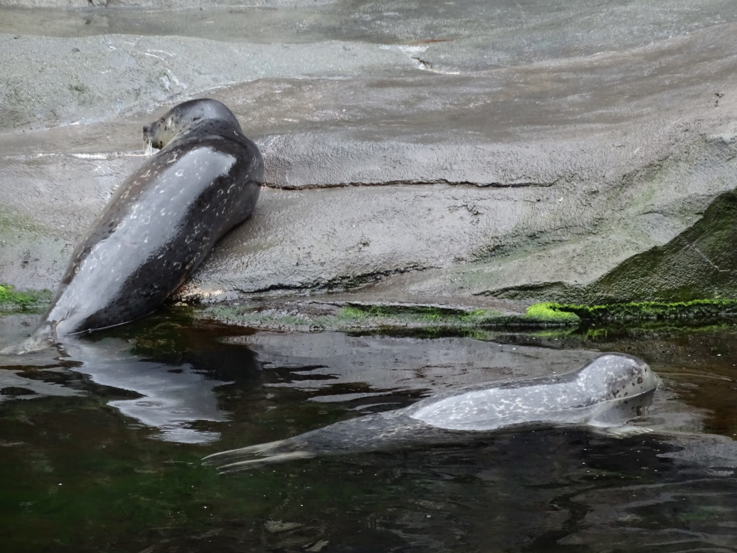
We awoke at about 8a and staggered (after such a long day the day before) to breakfast at the hotel.  Excellent food once again.  After checkout we headed to the Alaska Sea Life Center, basically an aquarium that also does a lot of research and caring for (and releasing if at all possible) orphaned local sea life.  It was a really nice facility and we really enjoyed watching the harbor seals in particular.  There was one that kept lifting its head above water, nose solidly in the air, as if he was enjoying the raindrops falling on him.  The volunteer at the center said he was really napping.

Supposedly napping harbor seal

Resting harbor seal

Harbor seals at the Alaska Sea Life Center

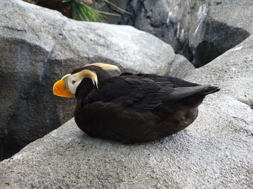
Also visited their bird habitat — could get right up next to the puffins.  Learned that salmon actually change physically when they go upriver to spawn — turning from silver to red and their mouth gets a pronounced hook.  Never knew that.  Also saw fossils of a prehistoric shark that had a tooth system not unlike a buzz saw.

Tufted puffin at the Alaska Sea Life Center

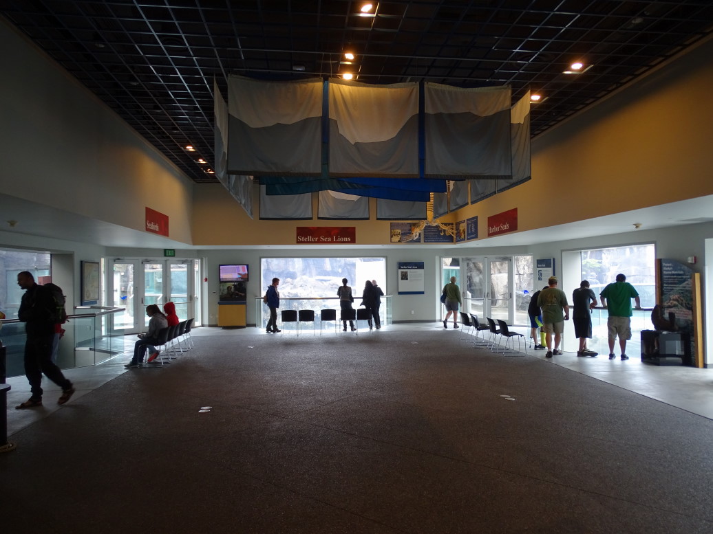
Interior of Alaska Sea Life Center

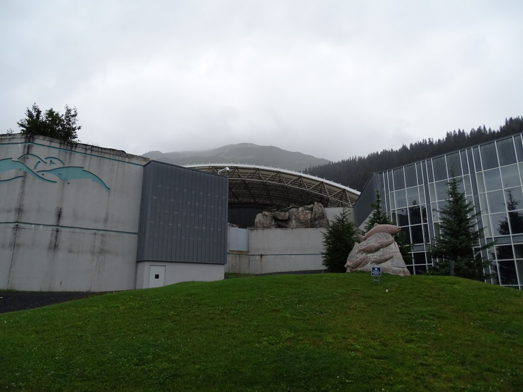
Exterior of Alaska Sea Life Center

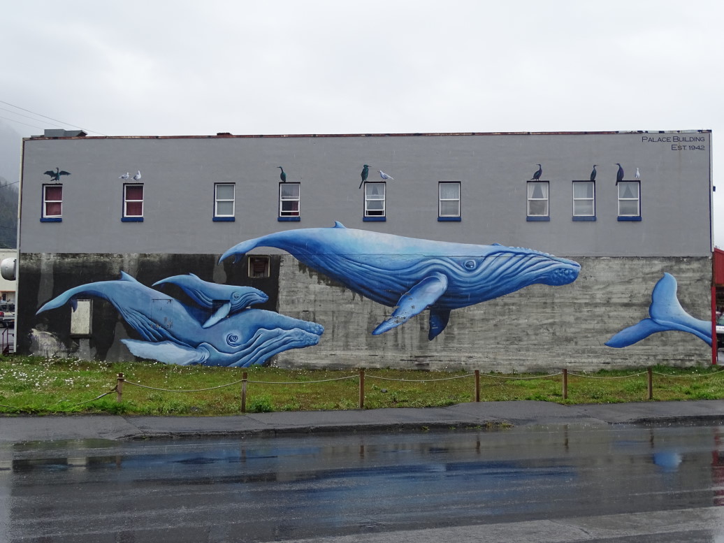
Mural of blue whales opposite the Alaska Sea Life Center

Left the museum and went to eat at a local lounge.  Michelle and Genetta had shrimp baskets, I had a club sandwich, and Addison had chicken tenders.  It wasn’t bad at all.  Afterwards we went gift shopping.  Leaving Seward we stopped by Exit Glacier one last time then drove the 2+ hours back to Anchorage.

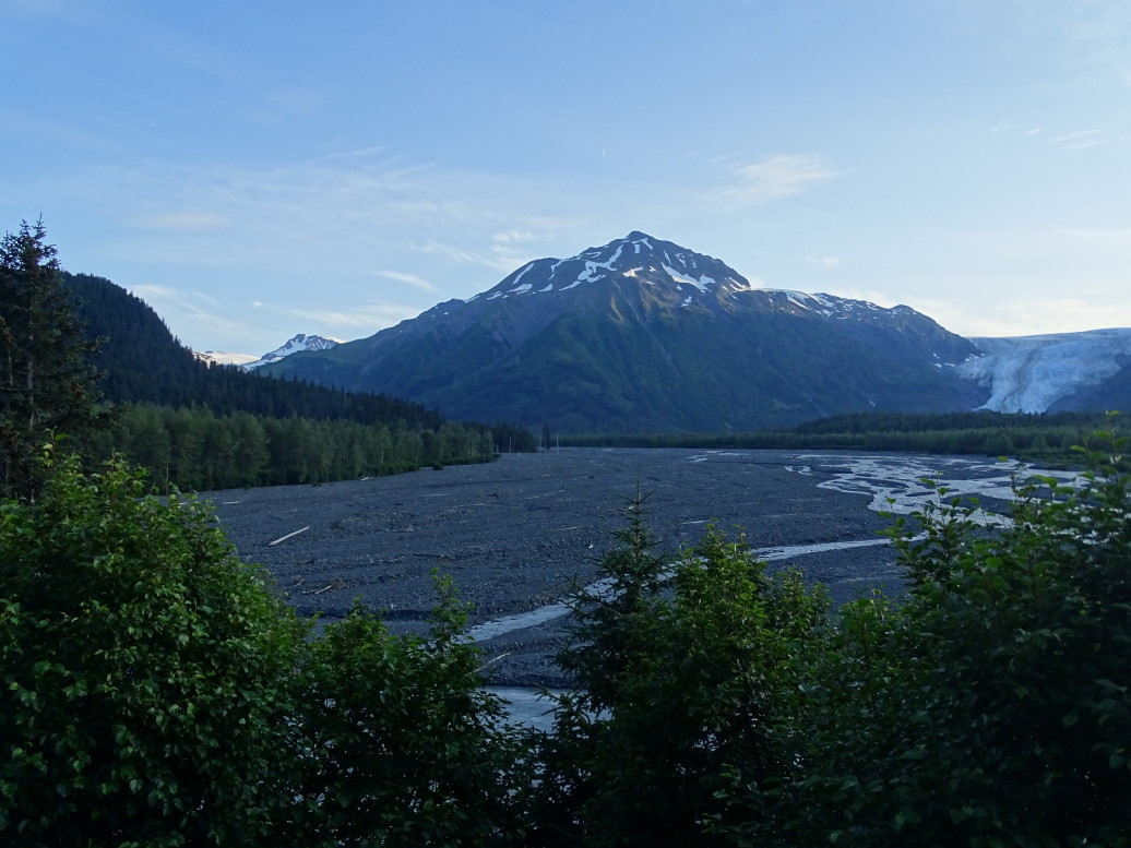
Exit Glacier outwash plain

In Anchorage we ate at Outback as Addison had been craving it.  We then went to see Ant-Man.  Really good movie and the theater seats were really nice.  Afterwards hopped in the car and headed to the Holiday Inn Express for our final night in Alaska.  Cleaned out the car and got ready to pack in the morning.

Route for Wednesday, July 22, 2015

July 21, 2015

Wonder of the World

Filed under: Travel — Tags: — BigWeather @ 11:59 pm

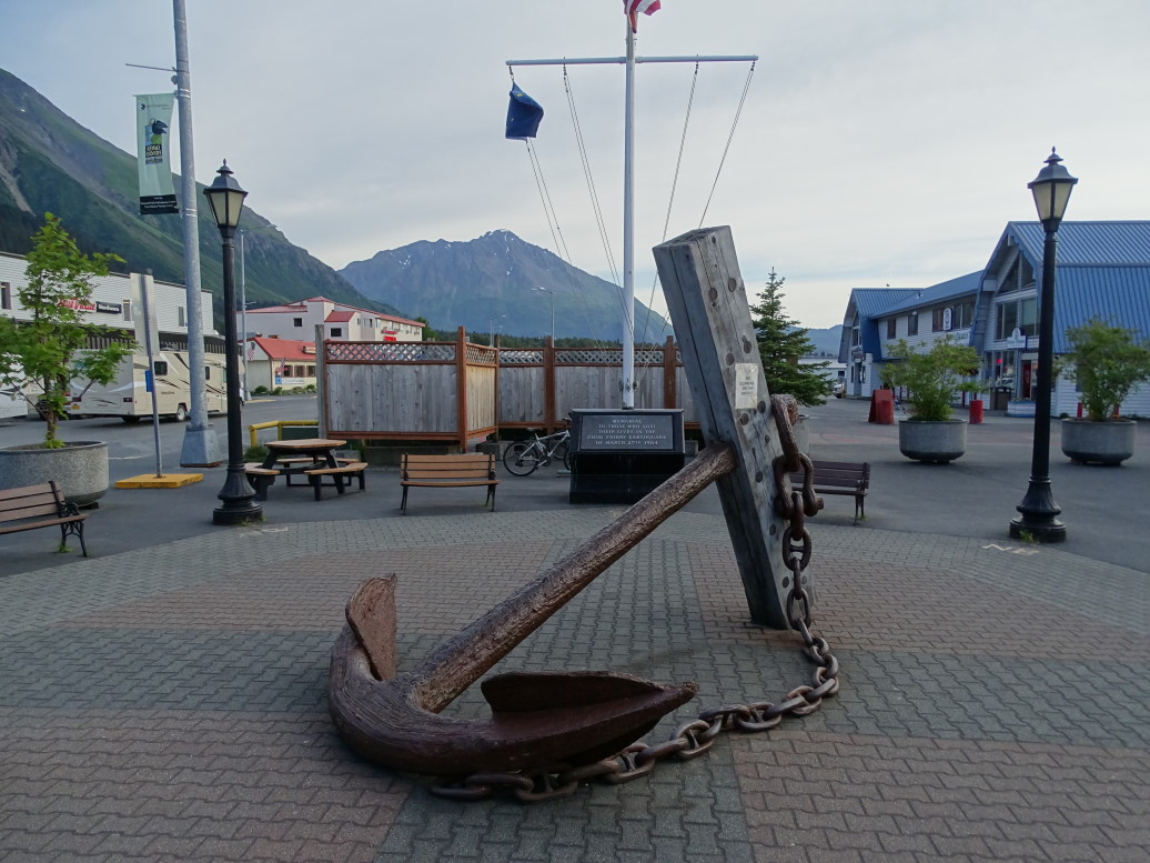
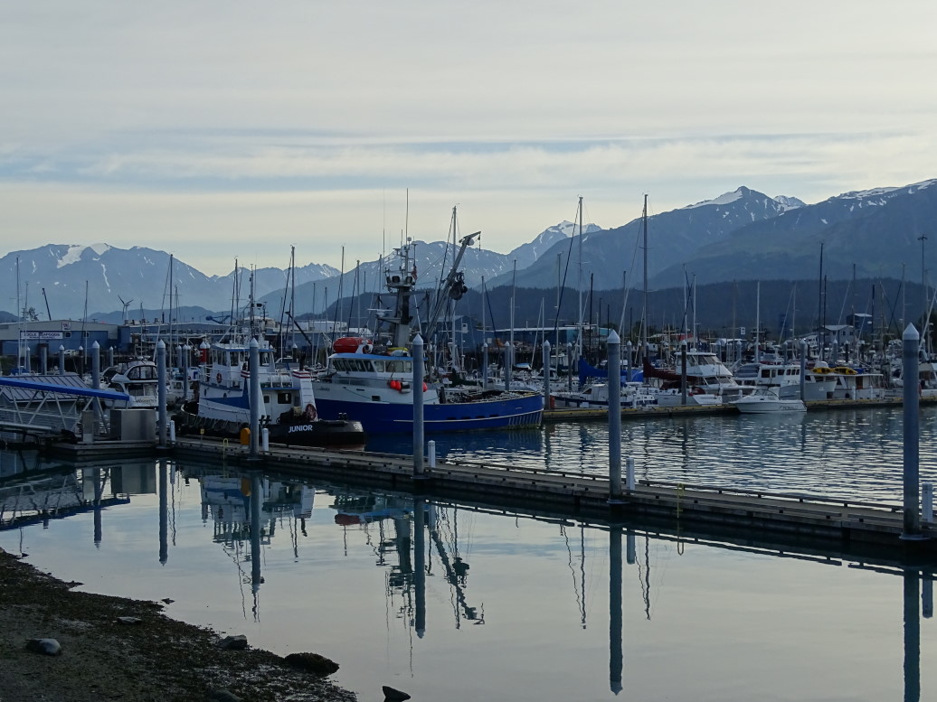
We awoke shortly after 6a and ate breakfast at the in-hotel restaurant, Ms. Gene’s (named after the woman who purchased the hotel in 1964 just two weeks prior to the 9+ quake that leveled most of southern Alaska and dealt severe damage to the hotel — that’s just plain bad luck).  It was decent, a good start to what would be a long day.  We moved our carry-ons to the car and left our four suitcases with our room so that the hotel could switch them over to our new room for the evening.  The small boat harbor wasn’t very far from the hotel, about a mile north.  We left our car in the 72 hour parking and checked in with Major Marine, the tour operator for our day-long boat trip to Kenai Fjords National Park.  There is an anchor commemorating those lost during the March 1964 quake as well as a nice harbor master’s office that has restrooms and showers for the fishermen.

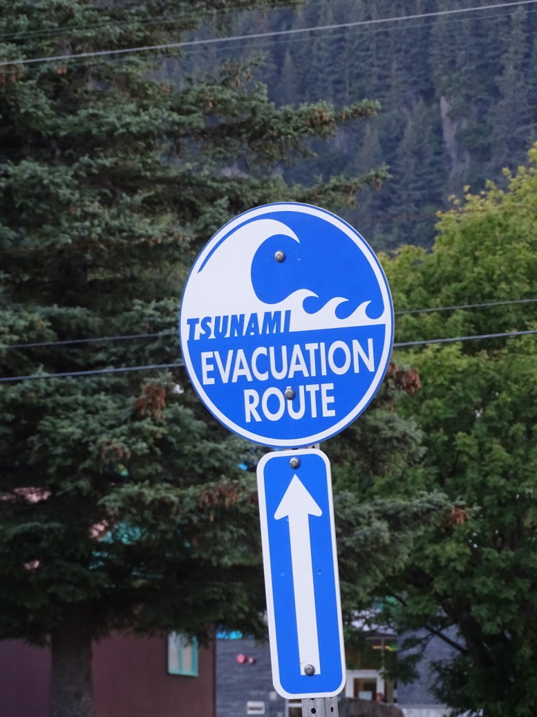
Memorial to the victims of the 1964 9.2 (world's second most powerful) earthquake and tsunami

Seward small boat harbor at dawn

Another view of the Seward small boat harbor

Walked down to the slip where we found the “Viewfinder”.  Not the biggest vessel, but one of the selling points of Major Marine is they run a small vessel so there isn’t a crush of people all trying to see one thing (we would later see a larger boat visibly leaning to one side as the mass of humanity piled onto one side to see something) and smaller vessels can get much closer to land and in shallower areas.  The captain (I can’t remember his name, sadly) and deckhand (Clint) were very friendly and knowledgeable about the history (natural and otherwise) of the area and were fantastic at identifying the mammals and birds in the area.

The four of us put down our backpack, camera case, and binoculars at a table in the cabin and proceeded outside to look at Resurrection Bay slipping by the boat.  The captain pointed out a U-shaped valley scoured by a glacier that would be a fjord were sea levels to slightly rise.  Resurrection Bay itself is a massive fjord formed by a glacier that was originally 50+ miles long and up to 4000 feet deep.  The bay itself is today 1000 feet deep, explaining how the large cruise ships (thankfully absent this day) can visit the town.

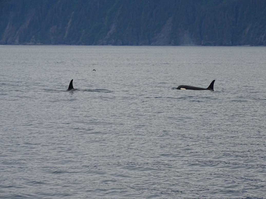
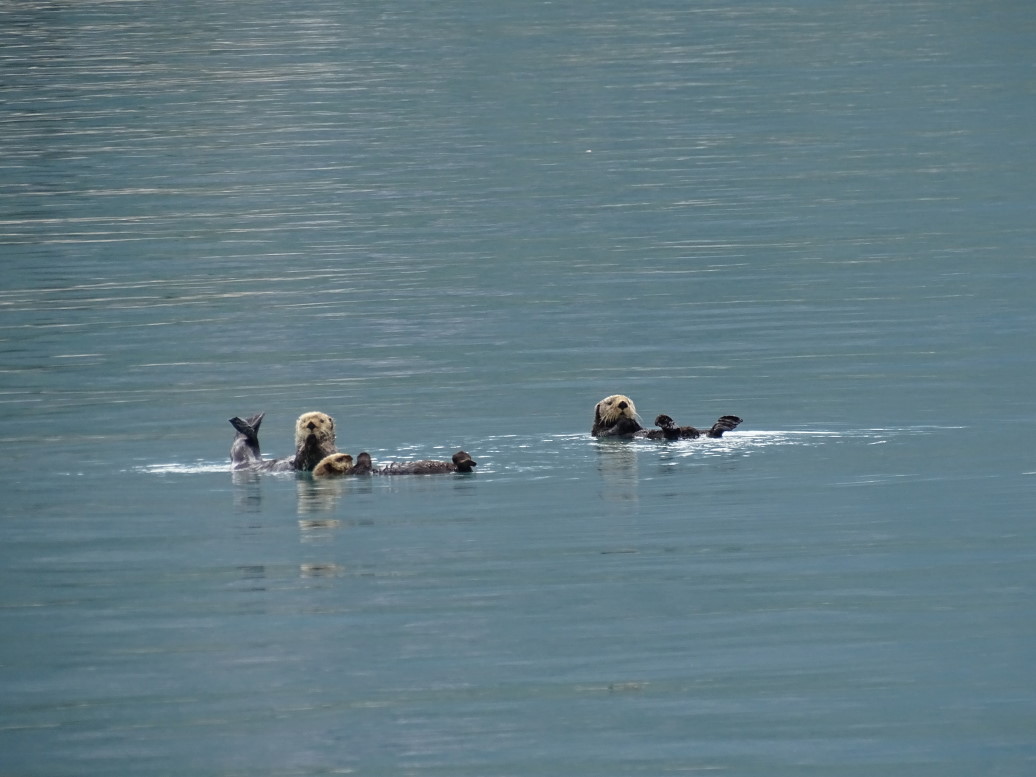
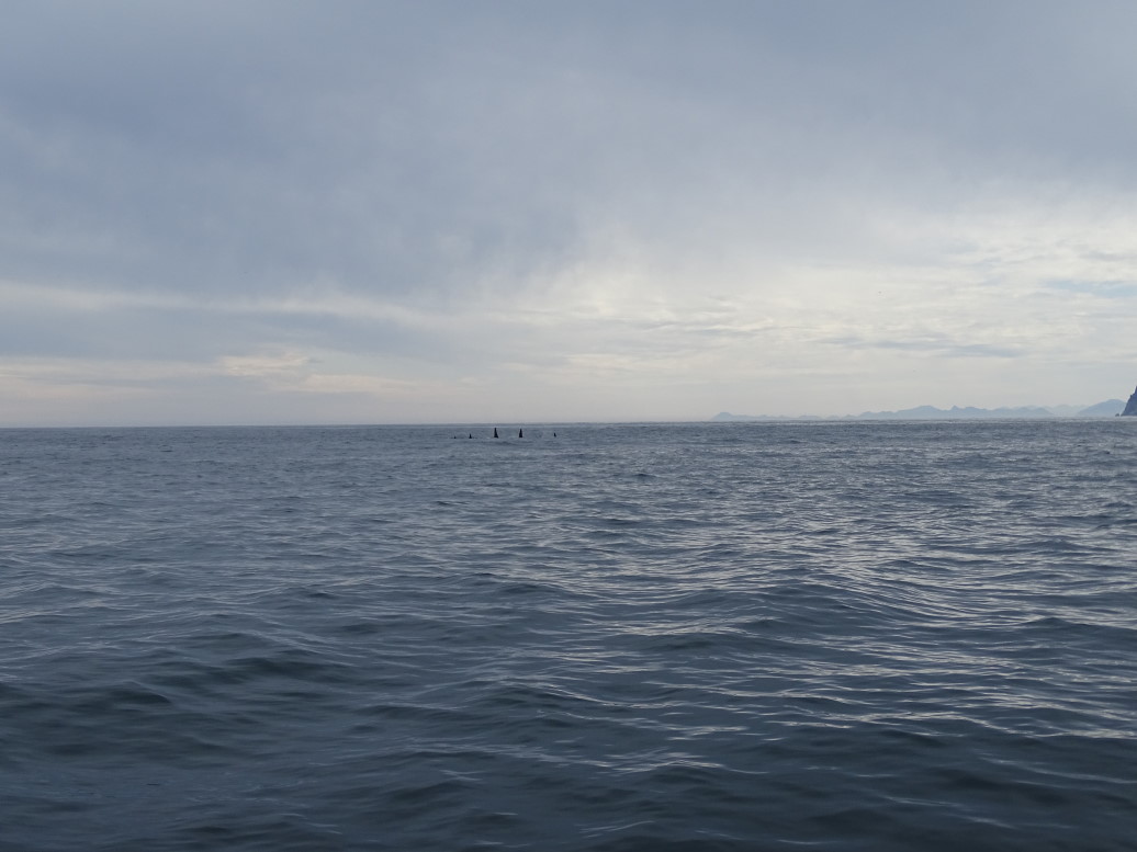
Our day opened up with a few sea otters floating in the waters as well as a bald eagle perched on a large blue machine that loaded coal from interior Alaska (Healy) onto ships.  Then, just south of Seward we saw a large pod of orcas (killer whales) heading out to the open waters of the Gulf of Alaska.  We followed them for a bit, amazing.  The males have much larger dorsal fins that protrude far above the water.  Clint said they only see orcas about half the time so this was a good start to the day.

Orcas in Resurrection Bay near Seward, Alaska

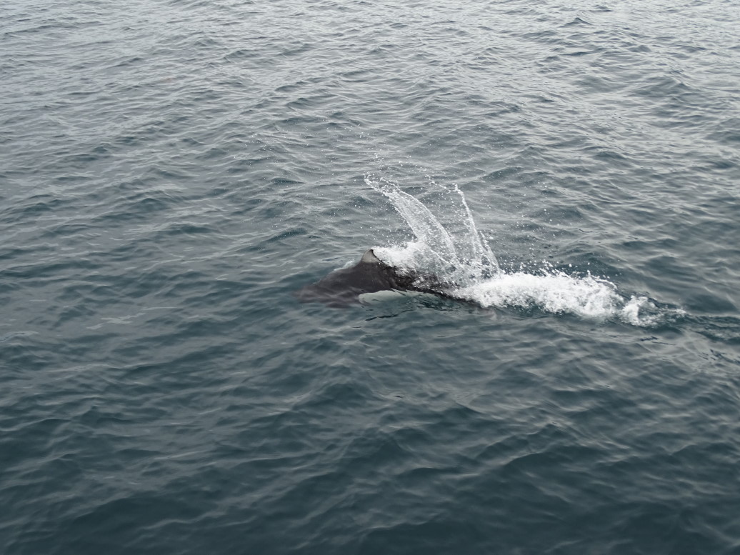
Next up we saw a pod of Dall’s porpoise enjoying the wake of our boat darting in and out of the waves near the bow.  They are so fast, the captain said at least 30kts/hr, and when they shoot out of the waves they made a little popping noise.  Very hard to capture on film — I think Genetta got the best picture with the WX220 rather than the fancier HX400V I recently bought.  I also took a video of them as well, much better representation.

Dall's porpoise playing near our boat, the "Viewfinder"

Clint spotted a spout to left — turns out it was fin whale.  The fin whale is the second largest mammal (after the blue whale) at up to 90 feet in length and also quite rare in those waters — Clint estimated they see one in only about 10% of the trips.  Our amazing luck with animals (belugas, wolves, orcas, and now this) continued!

Two fin whales spouting

Fin whale diving

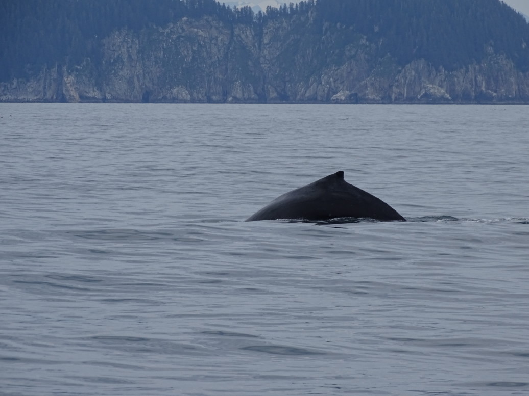
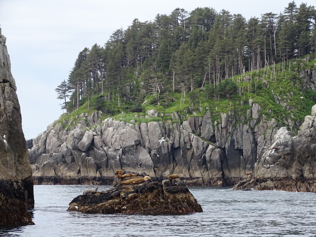
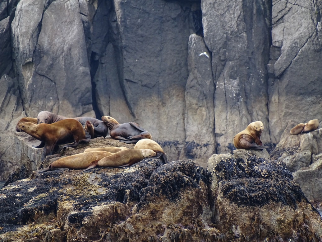
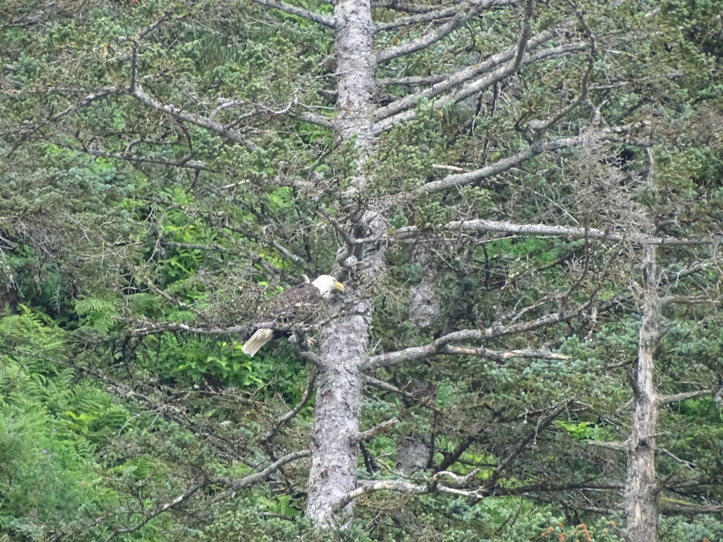
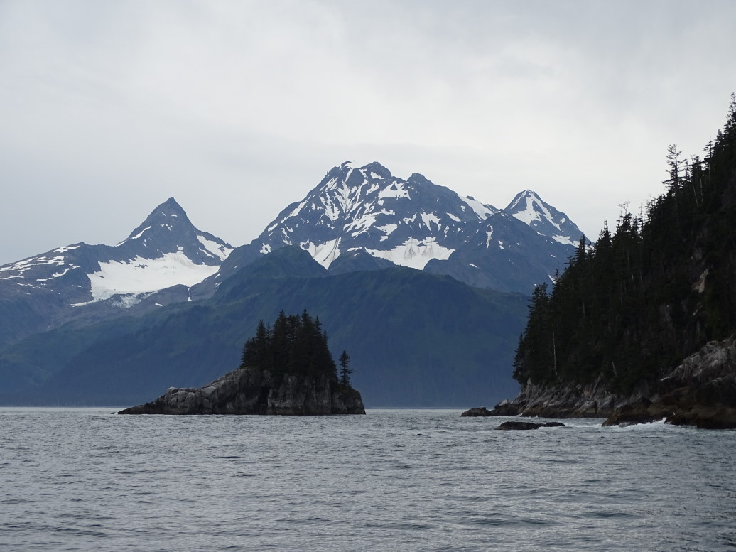
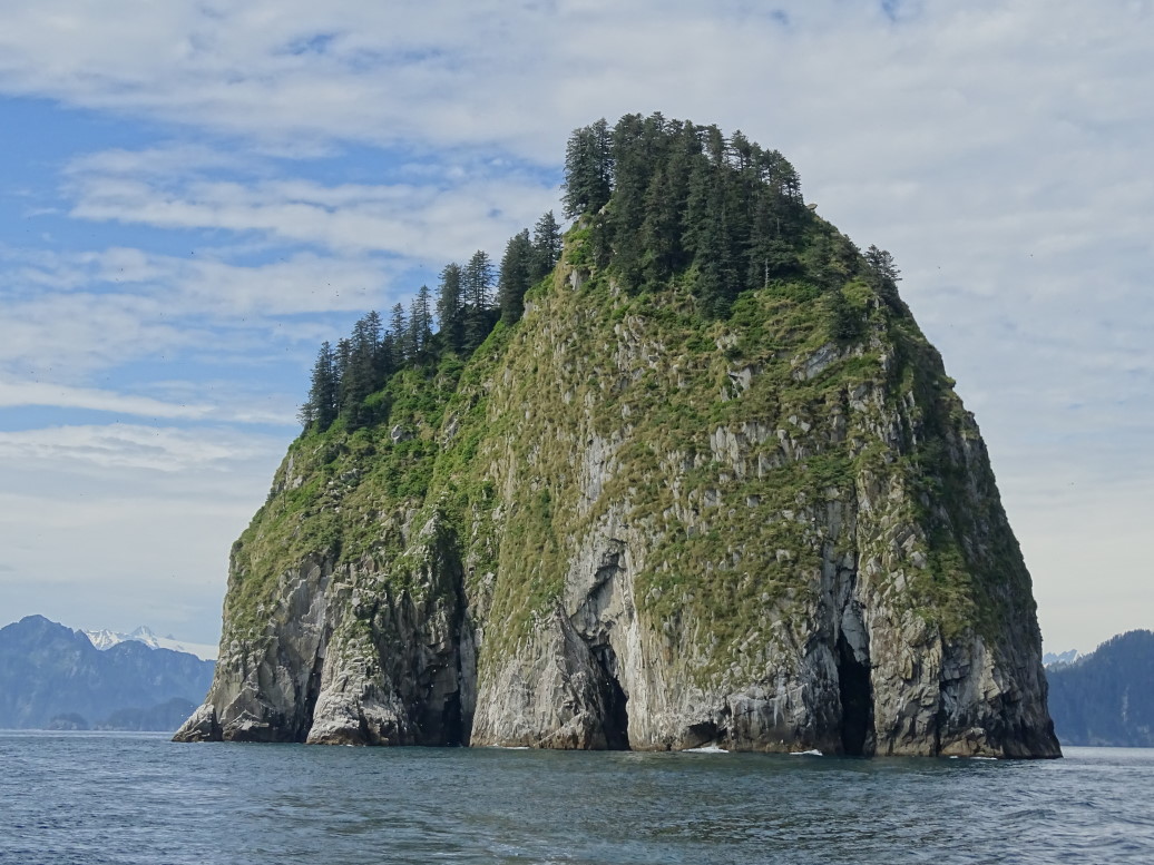
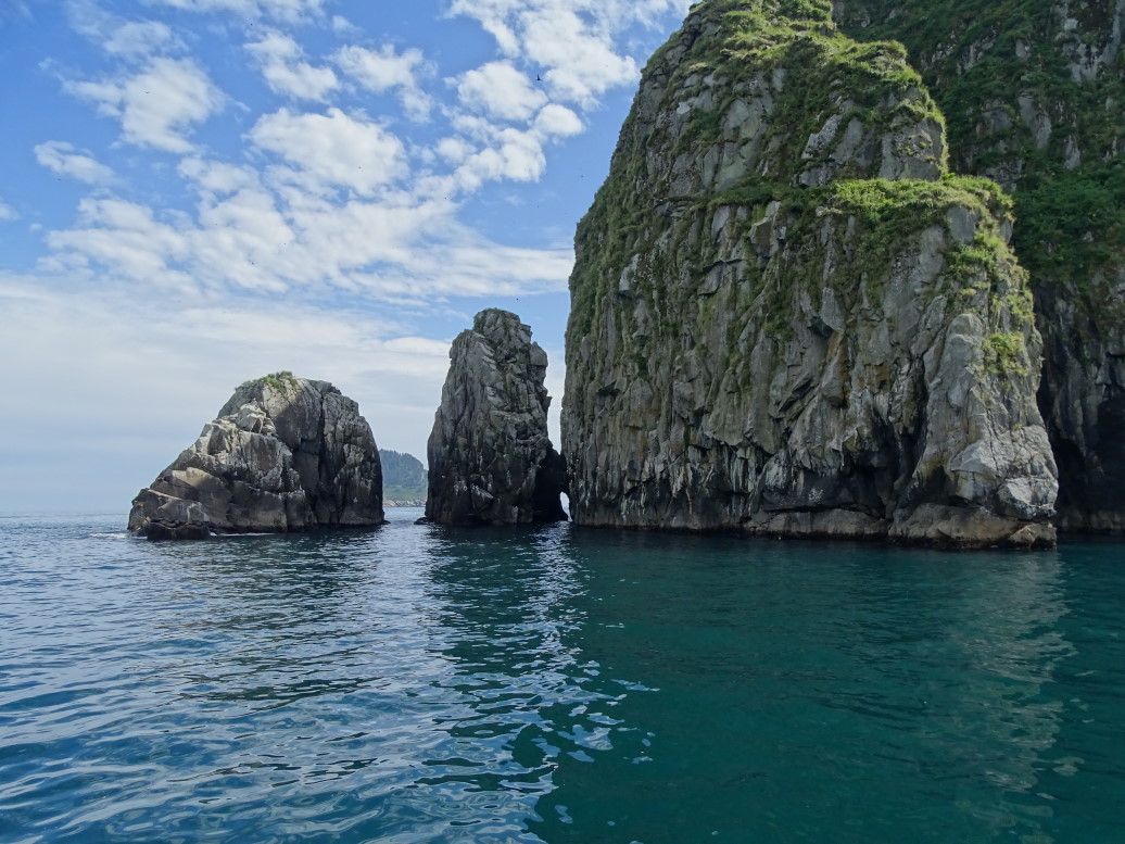
Sailing out of Resurrection Bay, which was dead calm with seas less than a foot, to the open waters of the Gulf of Alaska meant an uptick in the rocking of the boat — though seas were still only two to three feet — remarkably calm according to the captain.  We swung by some islands in the Chiswell Islands group and saw Stellar sea lions sunning on rocks.  The Chiswell Islands are beautiful, rising straight out of the sea with no beaches or anything — just slabs of rock with trees atop.  Clint explained that the mounts were being swallowed up by the plates grinding together and subduction.  We also saw a large group of nesting birds get riled up by a bald eagle perched atop a tree and looking their way hungrily.

Kenai Fjords National Park

Humpback whale

Sealions on a rocky perch

Sealions sunning themselves (as best they can with the cloudy skies)

Jagged island and (finally) partly cloudy skies

Amazing terrain

Upset gulls flying about

The cause of the upset, a hungry bald eagle perched in a nearby tree

Tufted puffins floating on the waves

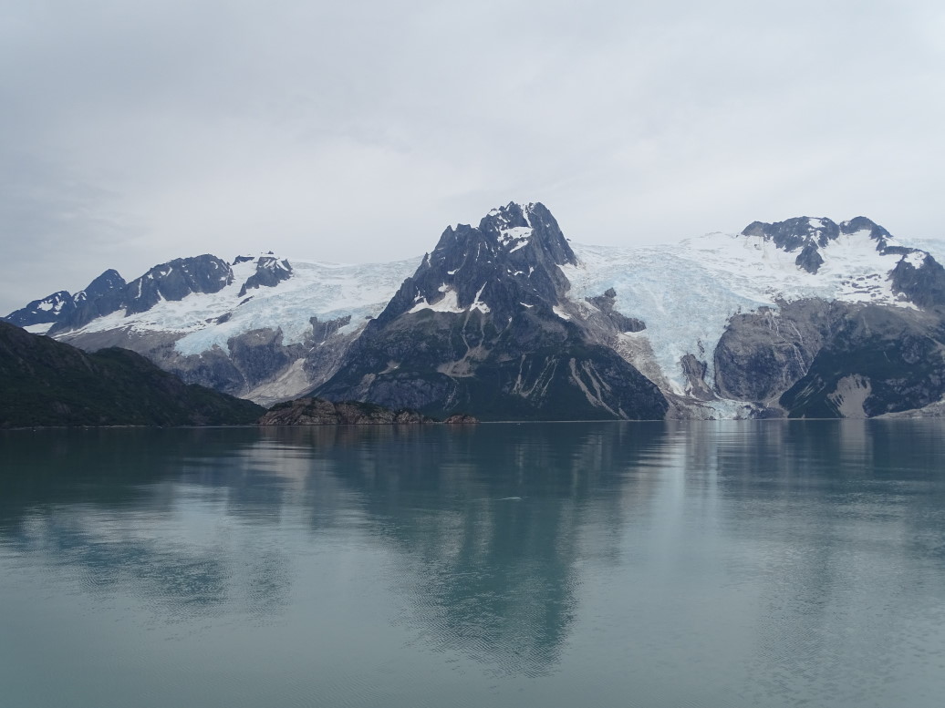
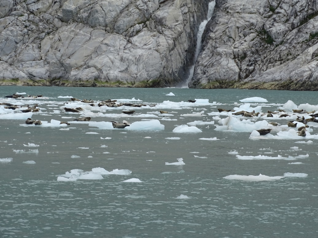
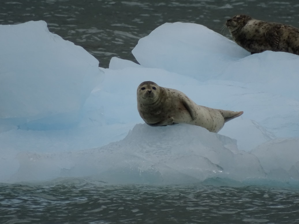
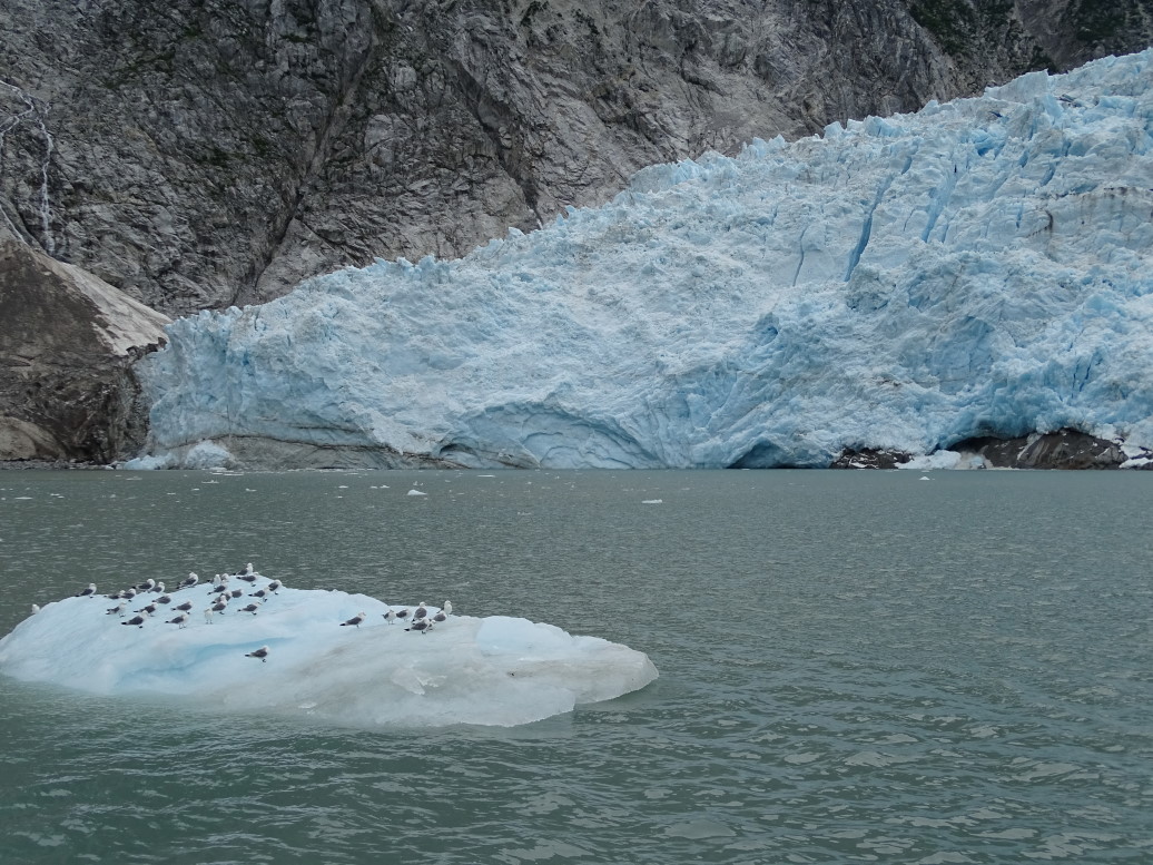
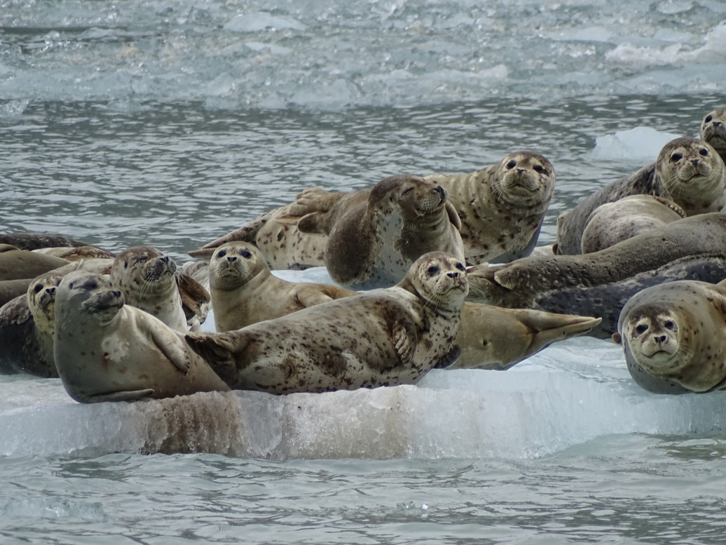
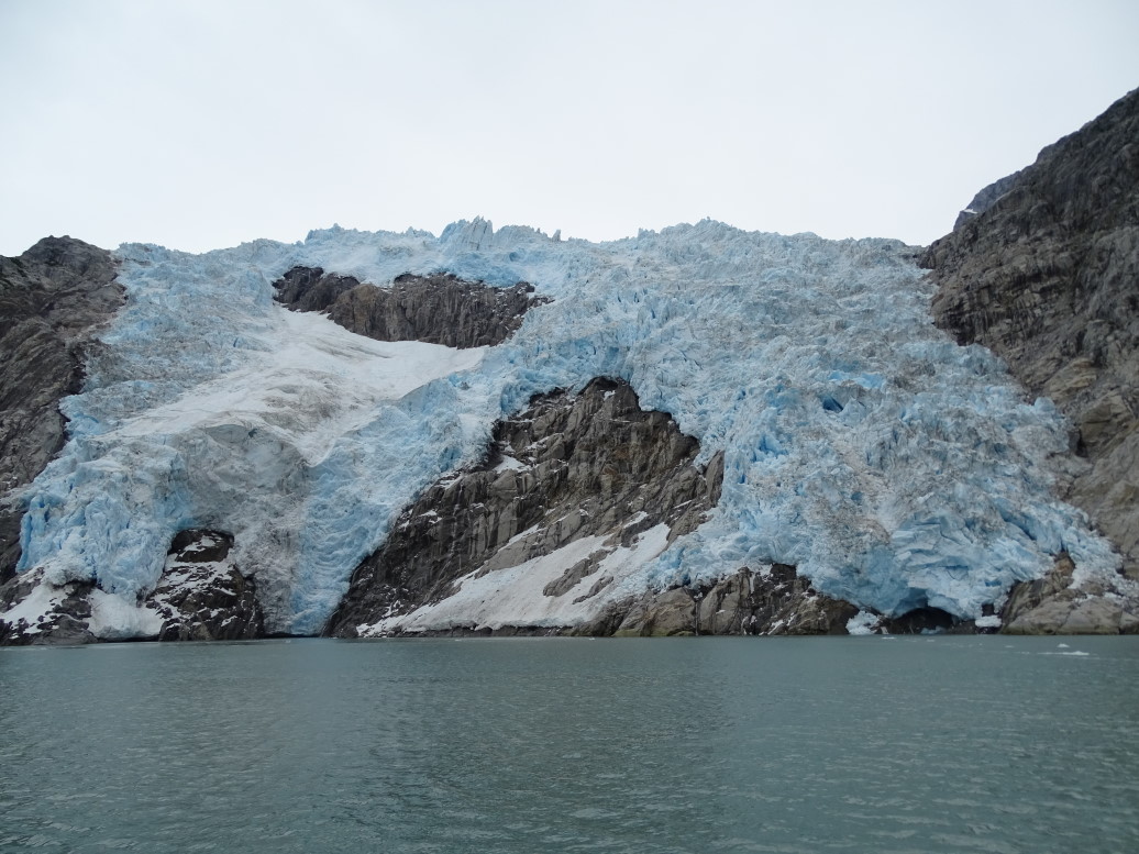
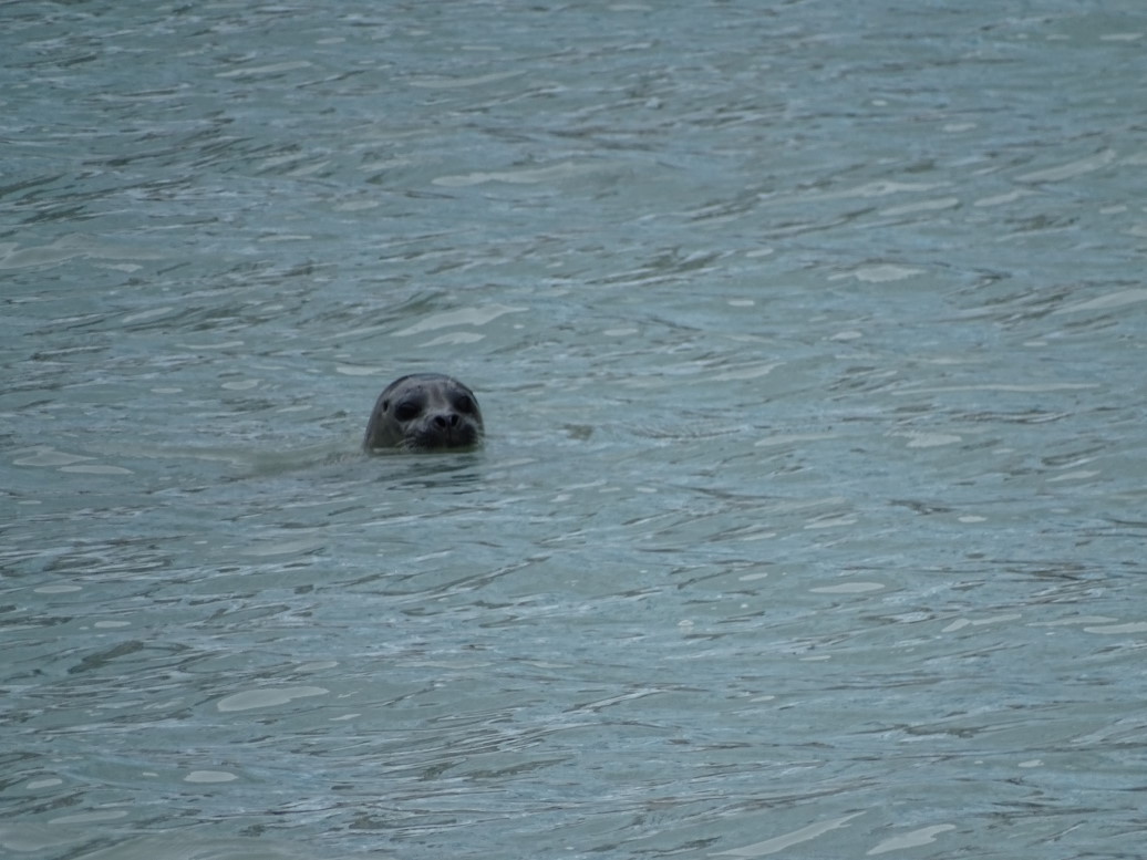
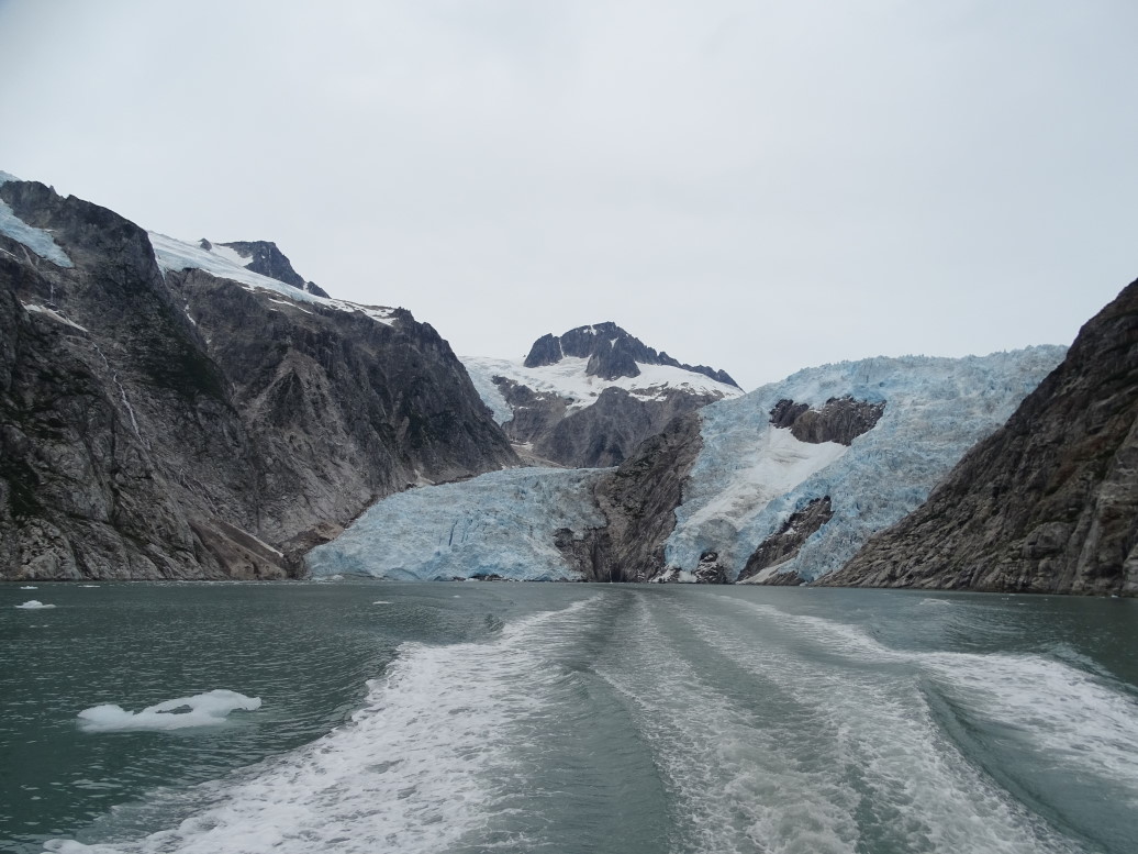
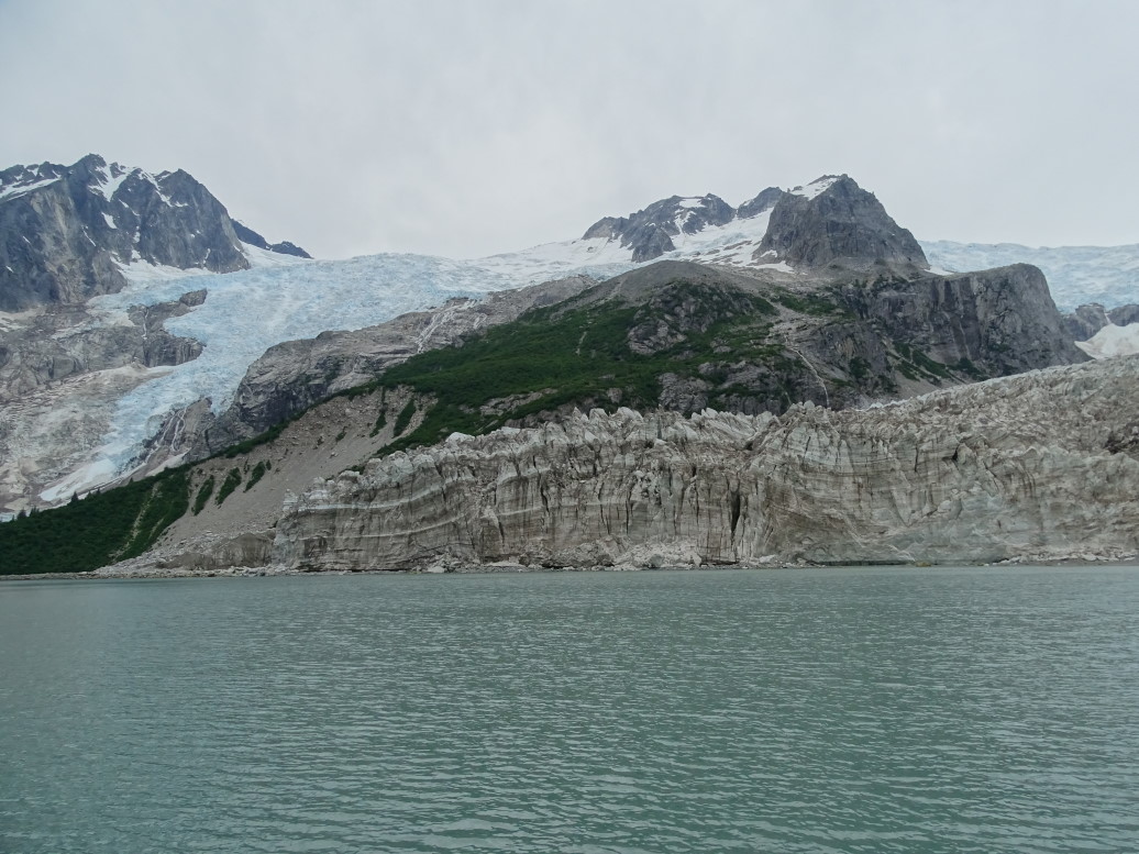
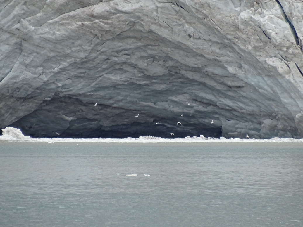
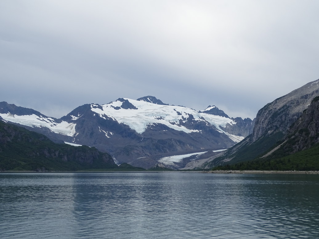
We proceeded through the calm Granite Passage between the mainland and Granite Island and into Harris Bay and Northwestern Fjord.  At the head of the fjord is Northwestern Glacier, a seven or eight hundred foot face of ice.  In the water in front of the glacier were large chunks of ice, some with seabirds atop them, others with lots and lots of harbor seals.  Harbor seals are only found here a couple of times a year — when they pup in the spring and in July when they molt.  As it is Michelle’s favorite marine animal we were thrilled to see them.  Every once in a while one would leave the ice floe and swim curiously up to the ship.  Very cool.  We also saw some very minor calving and heard the really neat cracking and popping associated with calving of a glacier.  Clint said that Northwestern is the second most calving glacier in the area.  We also checked out two other glaciers in the bay, Anchor and one other I forget the name of.  We learned also that Northwestern Fjord was only accessible by boat since 1964 as the earthquake punched a hole in the terminal moraine at the mouth of the lagoon and allowed passage.

Glacier with a gravel and rock-covered toe

Calm waters of Northwestern Fjord

Harbor seals floating on ice in front of Northwestern Glacier

Harbor seal chilling on the ice

Seabirds in front of Northwestern Glacier

Didn't notice this until looking at the pictures and seal on the left is bloody, seal in the middle has blood near its snout

Here you can really see the seals are molting

Northwestern Glacier

Evidence of a fairly recent calving

Really blue ice on Northwestern Glacier

Curious seal approaches the boat

Close-up of Northwestern Glacier

Full view of Northwestern Glacier (seven to eight hundred feet high) from our departing boat

Anchor Glacier in Northwestern Fjord

A glacial sea cave with gulls flying about

Yet another glacier in Northwestern Fjord

Sea otters enjoying a swim

Beautiful calm water for our boat tour

Hole punched in the terminal moraine of Northwestern Glacier by the 1964 earthquake is clearly visible on the map (1 fathom = 6 feet)

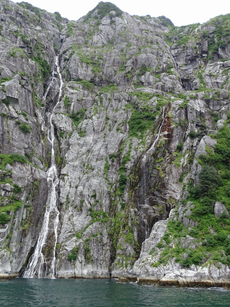
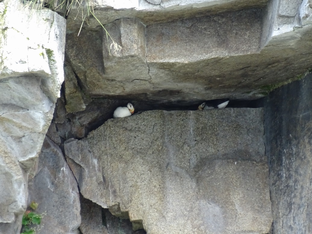
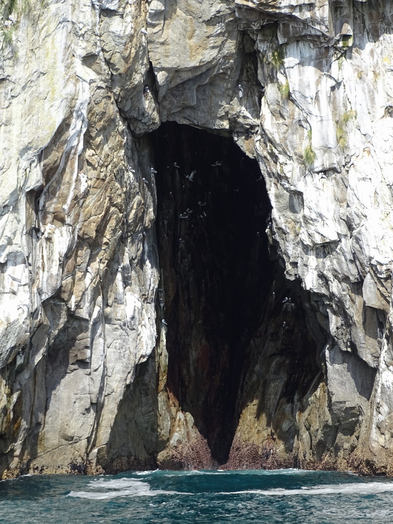
Next we visited a cove with multiple waterfalls.  The captain got the boat to within ten feet of the cove’s sheer rock walls.  Really awesome!  Once back in open water we saw a couple of spouts from humpback whales feeding remarkably close to shore, within 50 feet.  Also saw some puffins and other birds nesting, grandpa would’ve loved it so much.  The puffins would paddle furiously out of the wake of the boat as we approached.  The captain positioned the boat within a few feet of a sea cave as well and we watched the birds flitting about.

Another gorgeous view in Kenai Fjords NP

Waterfall emptying directly into the sea

Waterfalls in the cove

More beautiful scenery

Gulls perched on a rock

Where was this gorgeous sky earlier... and later?!

...and the clouds are filling back in

Humpback feeding near the rocky shore

The islands thrusting vertically straight out of the sea are simply awe-inspiring

Puffins nesting in a tiny crevice

Sea cave with seabirds

The seas are an unnatural blue-green

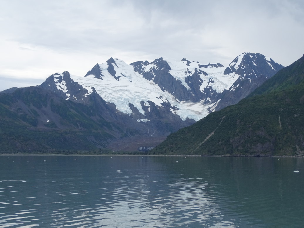
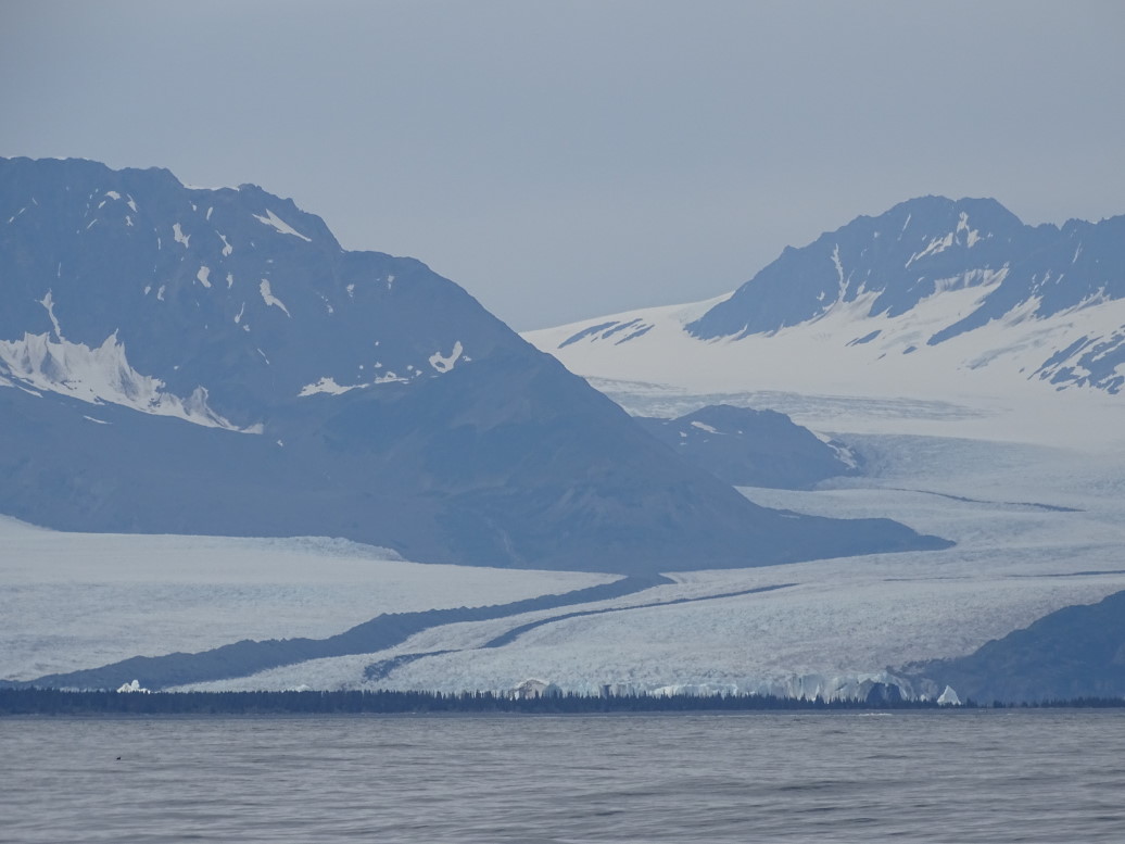
On the way back we saw two more pods of orcas — quite a day!  On the way back to Seward we saw a rather large glacier with a dark stripe — turns out that is formed when two glaciers flow together and the material they plow on either side gets trapped between them.  That glacier also had a lake behind its terminal moraine that held large icebergs.

Large pod of orcas in the distance

Two male orcas in the large pod

Bear glacier with its stripe and iceberg-filled lake dammed by its terminal moraine

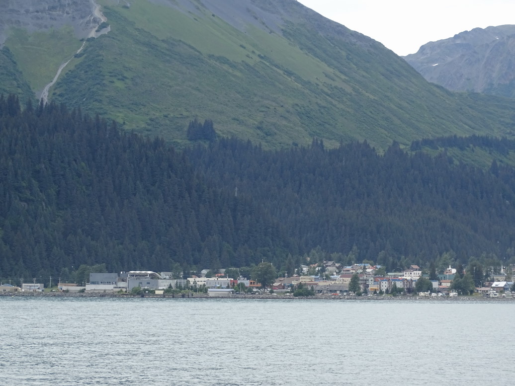
View of Seward from Resurrection Bay

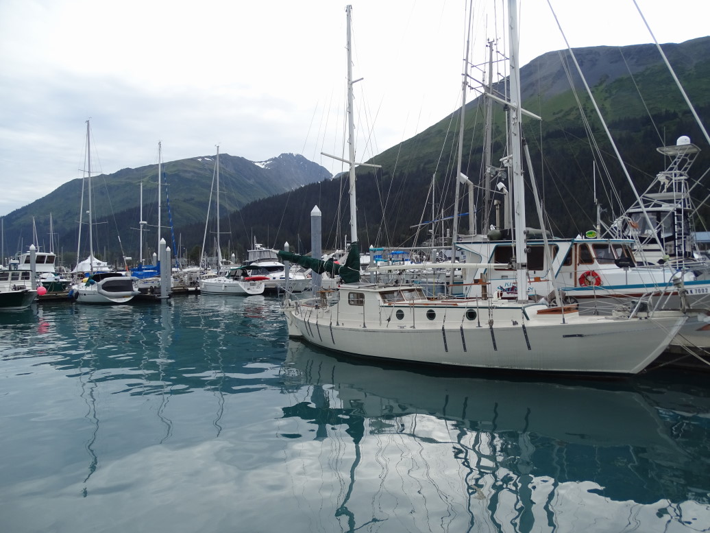
Seward small boat harbor

Michelle later said that what we saw was up there with seeing the Pyramids.  I’d have to agree with her, and one of the reasons that I went through almost three camera batteries, nearly eight hundred photos, ten videos, and waived my goal of no more than thirty photos in the blog per day — this one has fifty-seven.

On return to Seward we looked around for a place to eat and ended up at a local bakery / deli.  The food was OK, not great.  I had the french dip and fries.  Addison ended up getting a sub from the adjacent Subway.

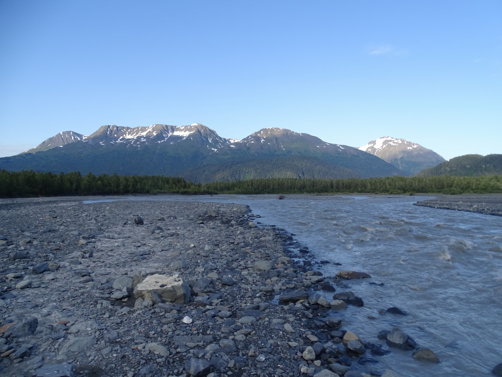
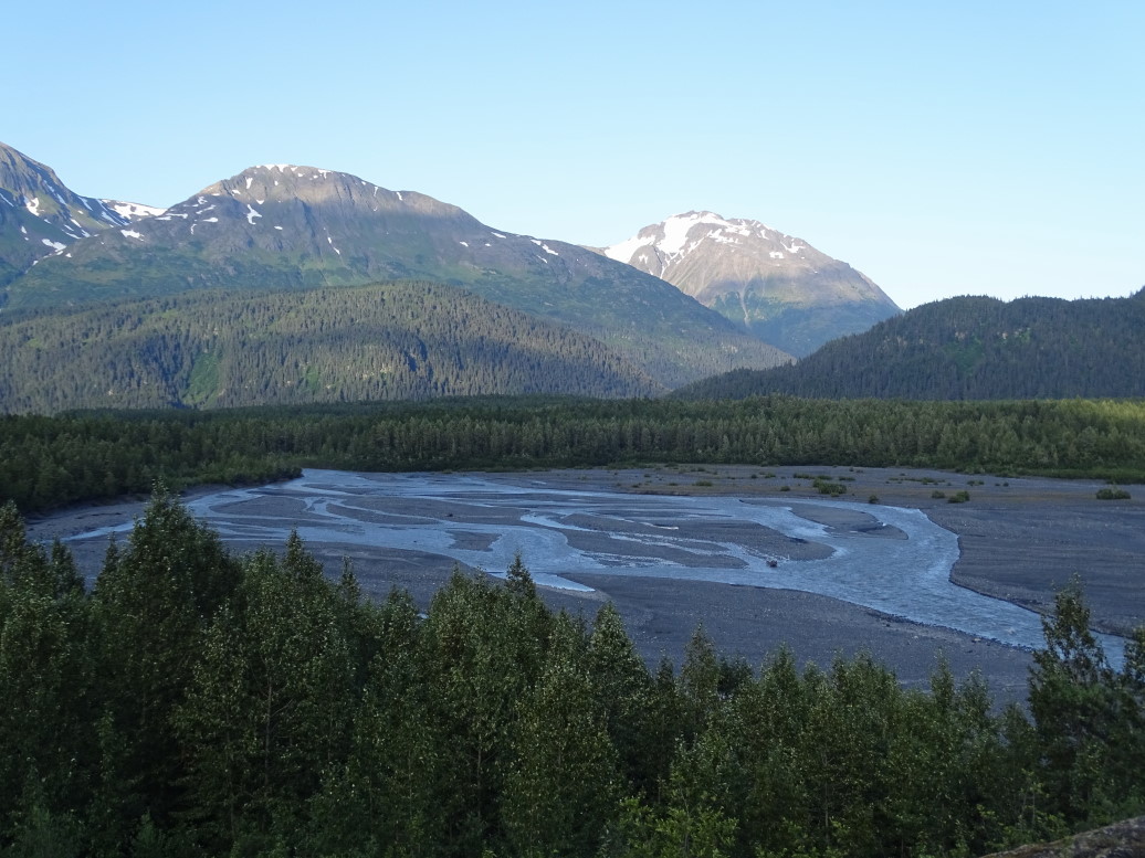
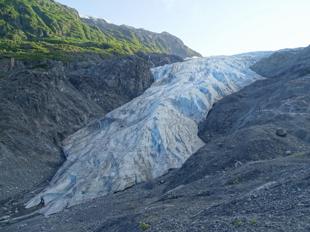
We hopped in the car and headed up to Kenai Fjords Visitor Center which is near Exit Glacier.  Exit Glacier was so named because an expedition in the 50s or 60s entered via a glacier on the west side of the peninsula, crossed the massive Harding Ice Field over a period of ten days, and exited via the unnamed glacier that would thereafter be known as Exit Glacier.  We four walked to the outwash plain first at the toe of the glacier but the mosquitoes were incredibly thick and chased Michelle and Genetta back to the car.  Addison and I persisted, however, walking among the outwash plain then climbing the trail to the edge of the glacier.  It was much windier there and the mosquitoes were no longer a nuisance.  Was really neat to see the glacier up close as well as the Harding Ice Field spilling over the surrounding peaks.  Finally on the way back to the car we swung by another, lower, view of the glacier.

Outwash plain of Exit Glacier

Another view of Exit Glacier's braided outwash plain

Exit Glacier

Harding Ice Field -- formed by the TWELVE HUNDRED inches of snow it gets every year!

Exit Glacier outwash plain

Headed back into town and checked in again with the Hotel Seward, this time in the new wing.  The room was a bit nicer, at the very least we welcomed having our own toilet and shower in the room.  Ordered some vanilla custard dessert item, it was excellent — especially the fresh raspberries and blackberries.  Blogged a bit and went to bed.

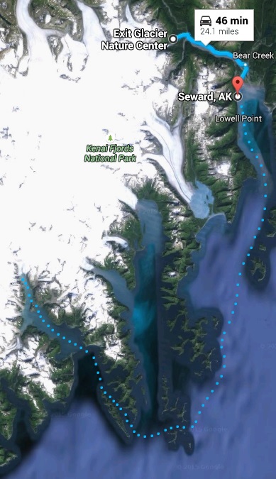
Route for Tuesday, July 21, 2015 (dots are on a boat)

July 20, 2015

Gold Bust

Filed under: Travel — Tags: — BigWeather @ 11:59 pm

After the very long day touring and driving yesterday and arriving at 1a at our hotel the family got some much needed sleep.  While Michelle and I got up at 8a or so we let the kids sleep until 10a.  Packed up and headed out, eating brunch at Gwennies — I had the eggs, bacon, and french toast special as did Michelle.  Addison had steak and eggs and Genetta an omelet.   Afterwards we hit REI for some ear warmth protection for the boat trip on Tuesday.  I headed over to the adjacent used bookstore and picked up a book to read on the flight back.

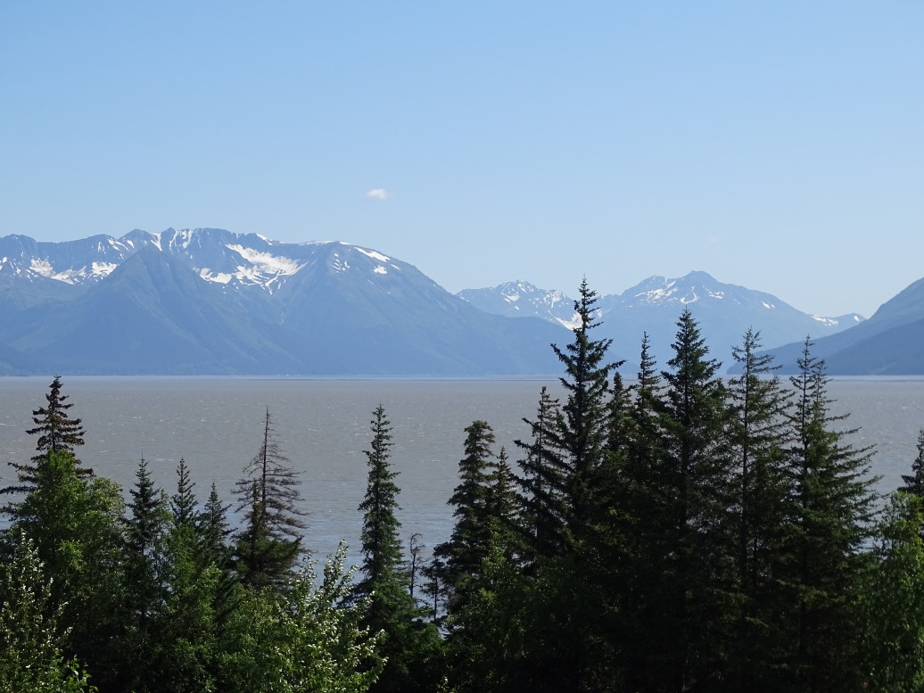
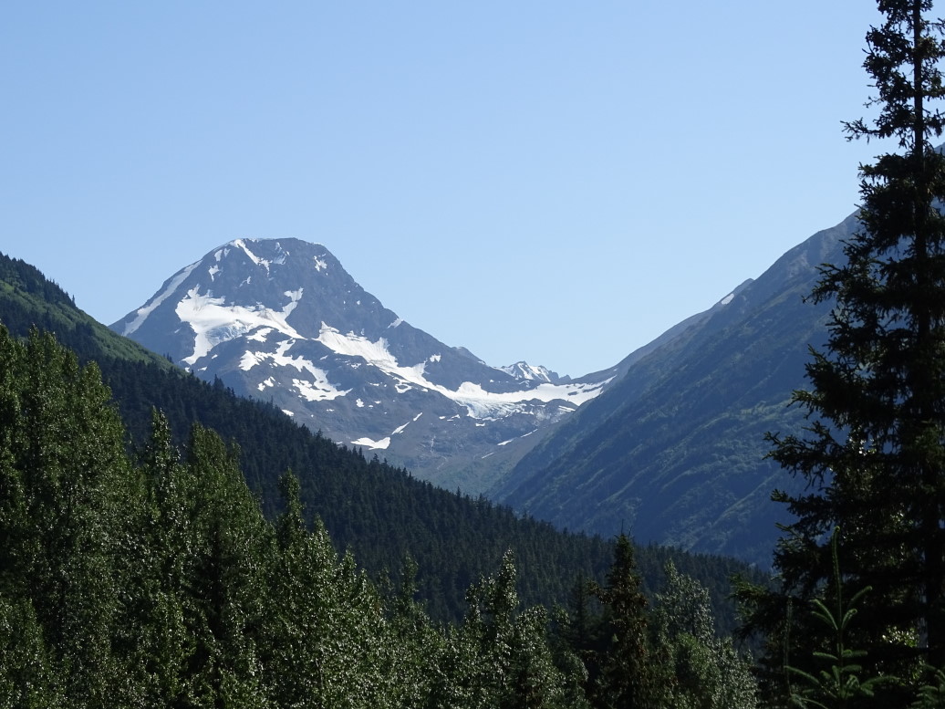
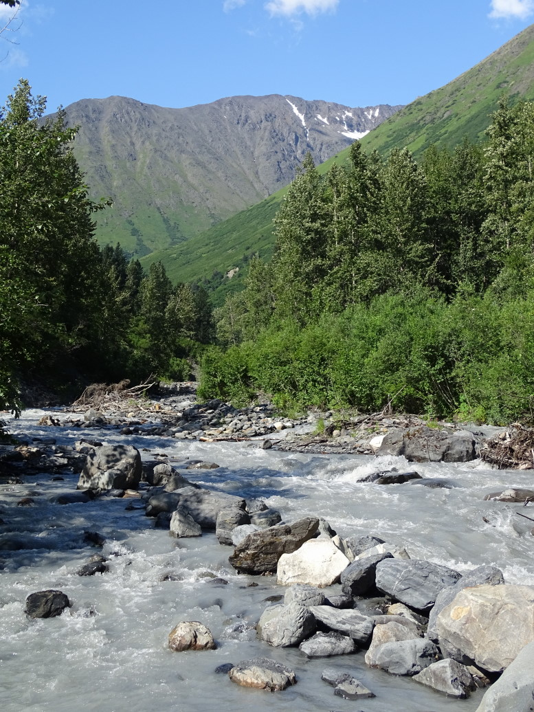
Hit the road on this beautiful sunny day, AK1 down through Turnagain Arm as we did earlier in the vacation.  Stopped at Bird Point for some photos and then headed to the town of Girdwood where we went up to Crow Creek Mine.  Addison and I put on our cannery boots that we bought in Homer and got a quick panning demonstration and practiced.  Took our shovel and pan down to the stream and set to panning.

View up Turnagain Arm from Bird Point on a gorgeous (rare) sunny day

Mountain near Crow Creek Mine in Girdwood, Alaska

Panning stream at Crow Creek Mine -- the view was nice, at least!

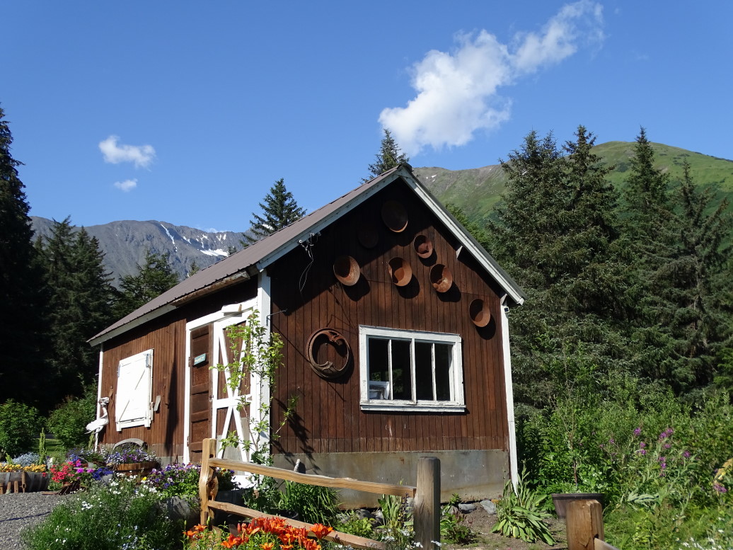
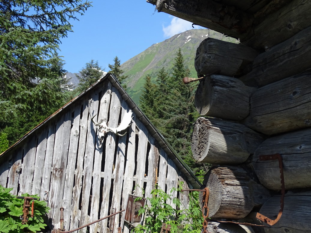
Newsflash: We didn’t find anything.  I’ll be back at work next week, haha.  I really didn’t expect to find much of anything but rather was happy to enjoy the sunny day, the cool glacial stream rushing by and the towering peaks.  Addison didn’t really appreciate that and was just mostly bummed to not find any gold.  Ah, well — I enjoyed my time panning with him.  Headed back up and checked out some of the old mining buildings, mostly from the 1890s Klondike Gold Rush.  Fairly interesting but by this time it was 5p and we really needed to hit the road again.

Another building at Crow Creek Mine

Building at Crow Creek Mine

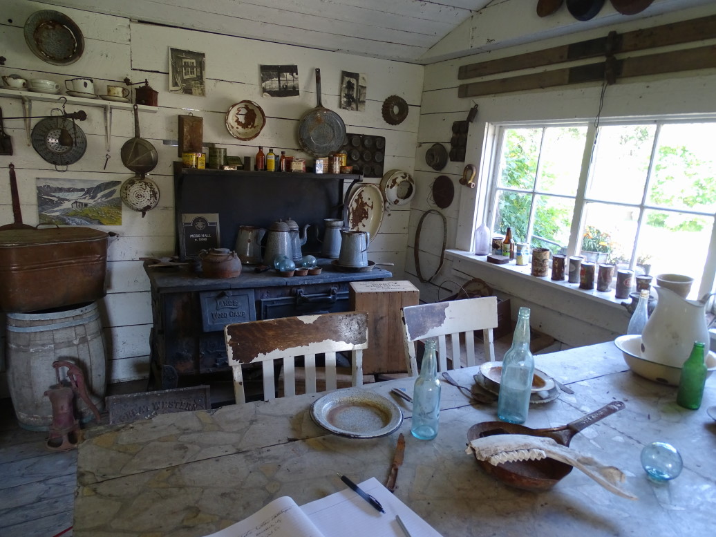
Kitchen reconstruction at Crow Creek Mine

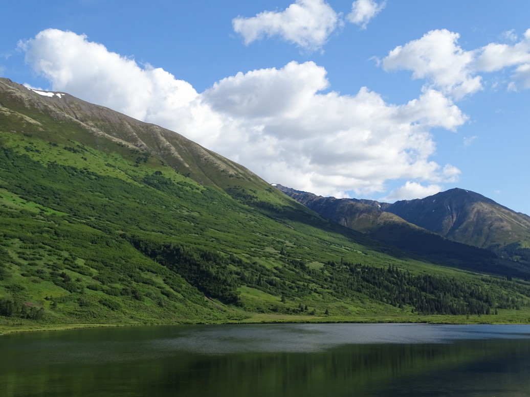
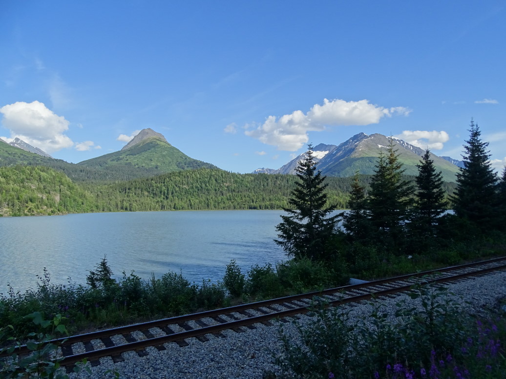
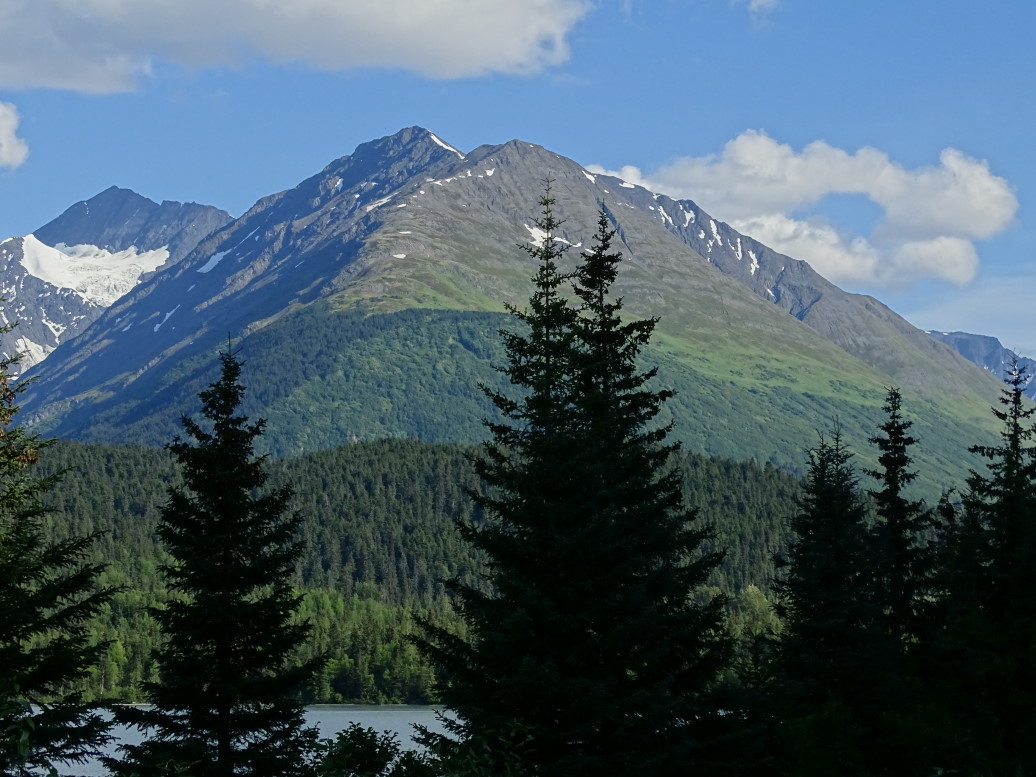
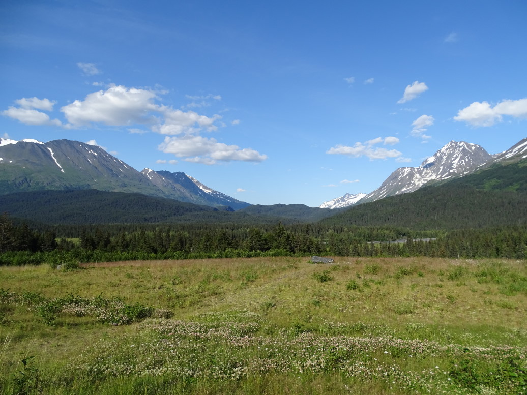
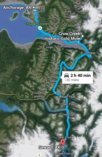
Due to construction it took a bit longer to reach our destination of Seward than we had hoped.  Couldn’t ask for prettier scenery along the way, though.  Green treeless hills, jagged peaks with snow and glaciers, milky white glacial lakes, etc.  Got into Seward about 7p and checked into the Hotel Seward.  Tonigh we’re staying in two rooms in the old hotel, tomorrow a single room in the newer hotel.  The rooms are a bit spartan, in fact the toilet and shower are down the hall and shared with other guests.  Oh well, it is all we could get booked with so little notice.  Addison also noted the WiFi was really bad (and I can attest to that!).

Treeless green hills on the road to Seward

View on the road to Seward, we need to take that train trip sometime!

How many shades of green can one mountain have?

Pretty view found near Seward, Alaska

Welcome to Seward, our home for the next two days

Went to dinner at the Gold Rush Bistro.  Genetta, Addison, and I all had the Northwestern Burger, basically a burger with BBQ sauce, onion straws, bacon, and cheese.  Good stuff.  Michelle had clam chowder and a salad — she enjoyed it.  Headed to a gift shop but as they were closing we had to rush.  Squeezed into an ice cream shop just before 9p closing and had a coffee ice cream cone that was OK.

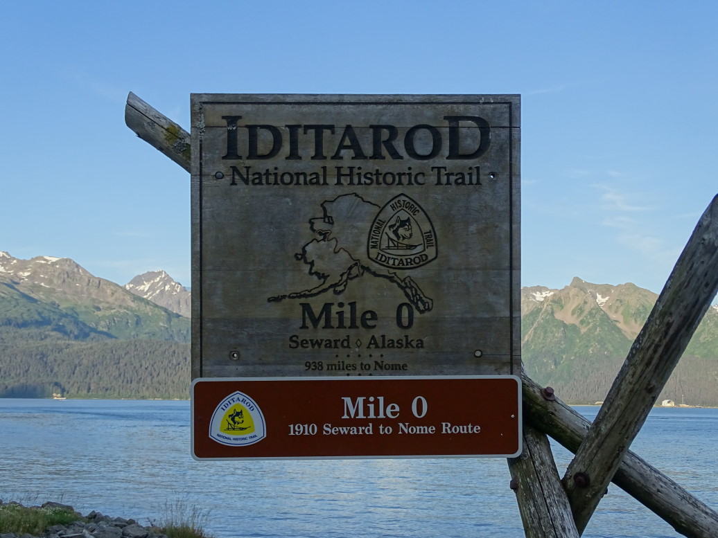
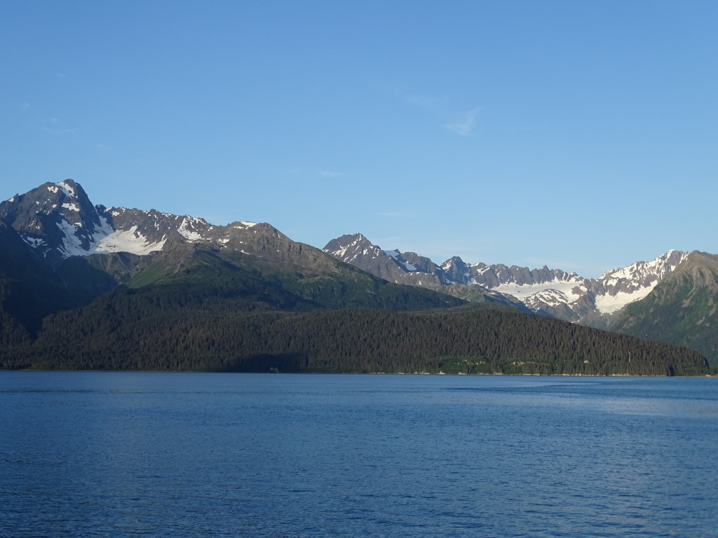
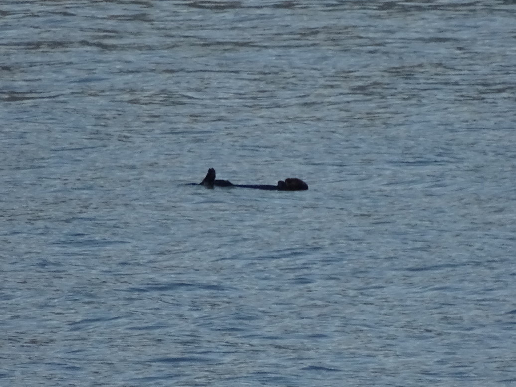
Walked around the seafront and looked at the gorgeous mountains that surround the town.  Saw a couple of river otters floating in the bay, though Addison insisted they were logs.  Also saw the beginning of the Iditarod Trail that ran (runs?) from Seward to Nome.  The oddest thing we saw was a reindeer on a leash.  Headed back to the room and turned in after blogging a bit.  Big day tomorrow with the boat tour!

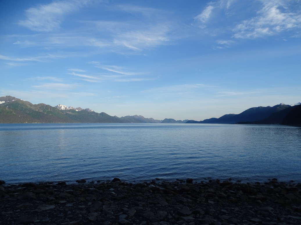
Looking south down Resurrection Bay from Seward

Looking east across Resurrection Bay

Sign marking the start of the famous Iditarod Trail in Seward

Looking east across Resurrection Bay

Sea otter in Resurrection Bay

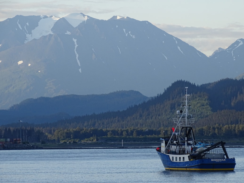
Fishing boat returning to Seward small boat harbor

Yikes!

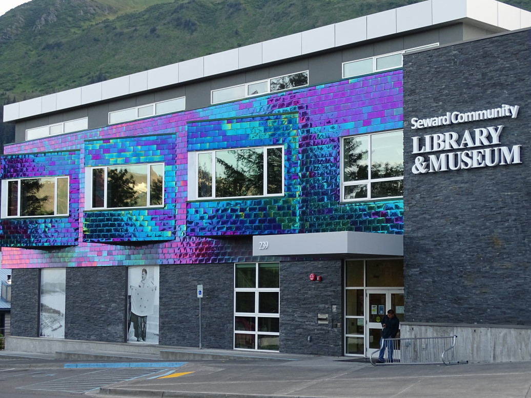
Love the tiles on the exterior of the Seward Library

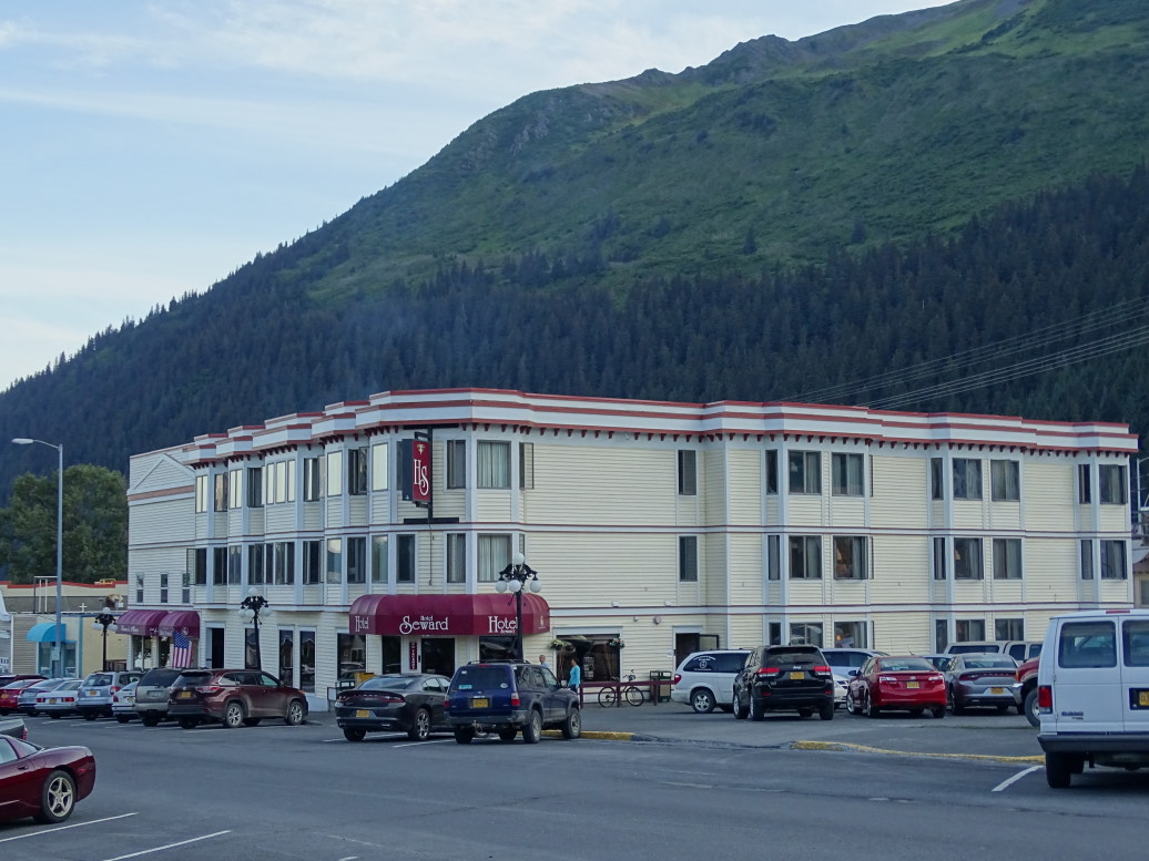
Historic Hotel Seward, built in the early 1900s

Route for Monday, July 20, 2015

July 19, 2015

Where the Wild Things Are

Filed under: Travel — Tags: — BigWeather @ 11:59 pm

We awoke early, around 5a.  Got ready, packed, and went to the hotel’s restaurant for breakfast buffet.  It was pretty solid, decent enough eggs and bacon and cereal.  Checked out and headed to Denali National Park’s Wilderness Access Center for our bus tour deep into the park.

Stained glass in the Wilderness Access Center showing the Big Five: grizzly, moose, Dall sheep, wolf, and caribou

The bus tour is essential as private vehicles are not allowed past mile 15 of the 92 mile long road.  While there is a view of Mount McKinley (still the official name, despite it almost universally being called Denali today) and the potential to see wildlife there are much better views of the mountain (at 20,300+ feet the tallest in North America) and many more chances to see wildlife going with a tour.

The tour bus is like a school bus, with all that goes with it — bumpy, not very comfortable, and not great legroom.  The view can’t be beat, however, so…  Our guide was Bryan.  While not an employee of the Park Service (he needed two more years of college and decided that wasn’t for him), he had been driving buses in the park for twenty-five years and was incredibly knowledgeable.  He had a great speaking voice and a very philosophical outlook on nature and man’s role in it.  We took an immediate liking to him and as the guide goes the tour goes.

Our tour bus (dirty from miles on the gravel Park Road in the rain)

In addition to discussing the history, both natural and founding, of the park he gave his thoughts on the “Into the Wild” story about Christopher McCandless going to a remote area north of Denali National Park and setting up camp in an abandoned city bus.  Our guide was riding in the area when he was still alive and wishes he had stumbled upon him and could’ve saved him.  Basically, Christopher got in over his head and bad decisions piled up eventually leading to his demise from starvation.  While he serves as a lightning rod of controversy in the area and many believe he was off his rocker, Bryan identified with the primal need to get away from society and live simply in nature so was a bit more sympathetic.

Anyways, the weather wasn’t great — mid-40s to 60 depending on the elevation and everywhere from a light fog to pouring rain.  So seeing the mountain was right out, despite being only 28 miles away and absolutely massive.  We had heard that the mountain is only “out” about 30% of the time and people that had been in the park for the past few days remarked that they’d yet to see it either.  In fact, a guide in the Eielson vistor center we stopped at around lunch time remarked that 50% of those setting out to summit the mountain succeed, whereas only 30% that visit the park see the mountain.  Obviously not apples to apples but funny nonetheless.

Soooo, with the weather crap and the mountain playing a great game of hide-and-go-seek…  How were the animals?  As the Ranger that boarded our bus later in the day said “Crappy weather makes happy bears”.  And how!

Denali National Park has a list of the “Big Five” mammals: Dall Sheep, Moose, Caribou, Grizzly, and Wolves.  Moose are stupid common, Dall Sheep aren’t too hard, Caribou aren’t either, Grizzly are pretty common.  Wolves are rare, Bryan estimated between 1 in 30 or 40 buses see one.

We started out seeing a couple of moose cows (thanks Mom for the assist on female moose terminology).  Then we saw a wolf.  I only saw it dart into the bushes to the right side of the road and missed it coming back across the road but Genetta and Michelle got a great view (looks like a “skinny dog”, basically).  A bit later we saw a couple of grizzlies, then some Dall sheep high on a mountain, then another grizzly, then some more sheep, some caribou without antlers (don’t know whether male or female — both have antlers), some more moose (this time bulls with impressive antlers!), a grizzly going to town on some berries, and finished up with two separate caribou with amazing antlers, both of which crossed the road right in front of the bus.

Grizzly by the river side in Denali National Park

Dall sheep grazing on a distant mountain

Caribou grazing

Bull moose with impressive antlers

Cow and bull moose grazing at a pond

Grizzly going to town on some berries

Caribou with amazing antlers

Caribou in Denali National Park

Most of the animals were several hundred yards away (with the exception of the sheep, much farther on steep steep slopes) so I was very happy I bought the new camera that could zoom much better than my older one.  The super zoom makes for some blurry images at maximum, however, I apologize for that.  The new binoculars also came in very handy.

Denali is essentially untouched and as it has been for thousands of years.  Other than the single road there is no other development in the park and the number of visitors allowed beyond mile 15 is extremely limited.  It almost felt like Jurassic Park at times, cruising through the park and seeing the animals and nature nearly completely undisturbed.  I don’t want to give the impression that there were herds of thousands of caribou or anything like that, however.  It is important to note that Denali is, in general, a pretty hostile environment for not only humans but also animals.  It is mostly tundra and the food system is simply not there to support huge herds or even large groups.

"Braided" river valley in Denali NP

Rare sunlight shining on Cathedral Mountain

Sunlit hill in Denali NP

"Braided" McKinley River

McKinley River in Denali

We stopped at several rest stops and the Eielson visitor center along the way.  The visitor center had a guide talking about various attempts to scale the mountain (about 50% make it as I noted earlier, and the mountain itself claims about 1 in 300 climbers).  Permits are extremely limited and Denali has many more protections in place than Everest, making it in some ways a nearly as challenging climb.  For instance, climbers of Denali are not allowed to use oxygen (due to discarded canisters that litter Everest) so an extended period of time (about a month) must be spent getting acclimated over time.  Also all waste, including human waste, must be transported off the mountain.

The visitor center was prepared for the fact that 70% of visitors will be greeted by a fog bank instead of a view of the mountain so had places marked on the floor for various heights and corresponding silhouettes of the mountain painted on the window that show where the mount is.  Kind of cruel, if you ask me, haha.

Cruel "the mountain would be here were it not for the fog" display at the Eielson Visitor Center

We picked up a ranger at Wonder Lake (which 30% of the time has spectacular views of Denali reflecting in the lake) who led us on a walk to the Anderson homestead (now burned) in the Kantishna mining district.  The Andersons were great neighbors to the park (Kantishna has since been incorporated into the park) and scraped by raising foxes for fur, running a roadhouse, etc.  It was a nice walk with nice views of Wonder Lake (supposedly named because the survey team missed it on the first pass, and on return stumbled on it saying “I wonder how we missed that?!”).

Wonder Lake, Denali NP

Hill north of Wonder Lake where early homesteaders raised foxes

Got back on the bus and learned more about the Kantishna, a gold rush that happened in 1905.  Only one person got really rich (isn’t that how it always is), pulling about $27,000/day (in 2015 dollars) out of the ground.  The panned gold ran dry quickly and was replaced by shaft mining and the like as well as mining for other minerals.  One hundred years later the water is still not safe as a result.

End of the Park Road at Kantishna in Denali National Park, note the grizzly paw print

Learned about a remarkable woman named Fannie Quigley, a Nebraskan of Bohemain descent that decided her parents had too many mouths to feed and went West with the railroads (learning English from them — a very salty version of it apparently) and finally ended up in Kantishna in 1905.  She married Joe Quigley and they made a living mining, fishing, trapping, gardening, etc.  He eventually got hurt in a mine collapse and as a result of lack of medical treatment had one leg shorter than the other by 3″.  He ended up getting hospital care but falling for a nurse there and moving to Washington.  Fannie, who was better than he at back country activities anyhow, persisted on, eventually passing away in 1944 in a small cabin in Kantishna.  We got to tour that cabin, it was really neat.  I can’t imagine the solitude — she’d travel the 100+ miles to the nearest town once a year to get supplies, other than that she was on her own.

Ranger in front of Fannie Quigley's last cabin

Fannie Quigley's last cabin in Kantishna, Denali NP

The tour wrapped up about 7p (started at 7:30a) and, as we had a 4+ hour ride to Anchorage, we grabbed dinner at the Salmon Bake in McKinley Park.  It was pretty tasty food, I had a BBQ bacon cheeseburger, Michelle and Genetta shrimp baskets (Genetta said it was the best shrimp she has had in a long time), and Addison a steak sandwich he didn’t care for a lot.  We had fried mushroom caps for an appetizer and split a couple of pieces of cake (chocolate mousse and flour-less chocolate) for dessert.  Yummy!

Got some gas and hit the road.  Still bummed about missing seeing the mountain and that Monday promised some spectacular views as skies were rapidly clearing, imagine my delight when about 10 miles south of town on AK3 we saw the Denali (means “the high one”) looming over all the other mountains!  Sure, the view wasn’t nearly as spectacular as inside the park would’ve been but oh, well — I saw it.  Besides, if we did the tour on Monday there’s no way we could do our boat tour on Tuesday down in Seward and right now the weather looks perfect for it (with Wednesday soupy again).

View of a river along Parks Highway near Denali NP

Mt. McKinley (or Denali -- "The High One"), finally!

Mountains along Parks Highway (AK3) outside Denali NP

Another view of Mt. McKinley (all 20,300' of it)

All along Parks Highway (AK3) was saw beautiful mountains and some wildfire damage, arriving in Anchorage at right about 1a.  Posted Saturday’s blog (delayed due to no WiFi at McKinley Chalet) and flopped into bed.

Mountains seen from Parks Highway (AK3)

Mountain seen from Parks Highway

View from Parks Highway (AK3)

Route for Sunday, July 19, 2015
Older Posts »

Powered by WordPress