…except when we come calling.
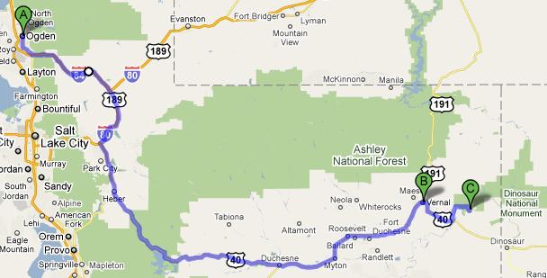
Woke up at our normal 7 AM, ate our tasty (and free) breakfast, and left Ogden for Vernal, Utah after filling up the car and getting some sweet tea from McDonald’s. We had originally considered going to Golden Spike National Historic Site, a place we hadn’t gotten to yesterday, but it had a couple of strikes against us going: it was a half hour in the wrong direction and many of the attractions (including the locomotives) are reproductions. That and the kids just didn’t seem that interested.
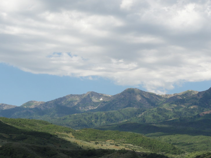
So we headed east from Ogden on I-84 then east on US-20 in an effort to avoid having to drive through Salt Lake City and also to see some of the beautiful scenery to the east of the Great Salt Lake. It certainly lived up to our expectations! There was a wide variety of mountains — gray jagged rock, red sediments, pillars of stone, tree-covered, shrub-covered, bare, you name it. Quite a variety of terrain. We also saw several beautiful lakes in the mountains. One odd thing is that many of the mountains had a single large white letter etched in them. At first we thought it must correspond to the first letter of the nearest town but that theory didn’t hold as time went on. We never did find out the meaning of all of the letters, but Wikipedia has an interesting article on it. Utah has one of the highest concentrations of these “hillside letters”.
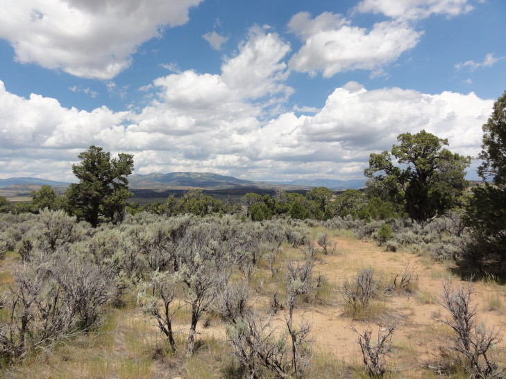
After passing through (and eating a Wendy’s lunch at) Heber, a very charming and “old fashioned” town, we passed just north of the Strawberry Reservoir which reminded me a lot of a Scottish loch due to the complete lack of trees on the green hills and the gorgeous blue water. East of that the terrain flattened out a bit and the green gave way to increasingly scrub vegetation. We stopped at a rest area that had a delightful walking loop that offered views of a valley to the north.
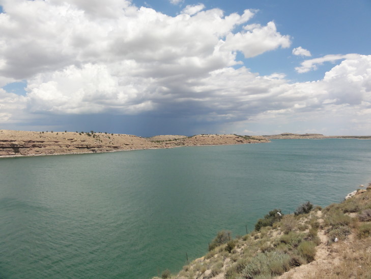
A bit further to the east we came upon Starvation Reservoir (charming name, eh?). Starvation Lake had the most beautiful blue-green water which was accentuated by the sand-colored cliffs that contained it. There was a marker for the Dominguez-Escalante expedition in 1776 that explored Utah (the explorers were seeking a new way to Monterey, California from Santa Fe).
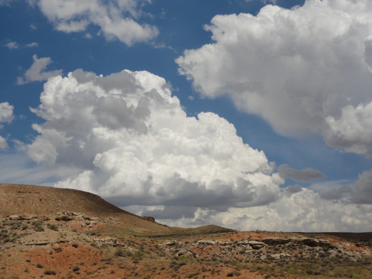
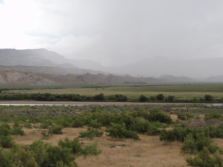
Shortly after the reservoir a huge storm started blowing up to our left (so, north of us). At one time I thought that a wall cloud may actually be forming but then I remembered Utah almost never has tornadoes. Still would like to see one one day, though. Maybe Greg and I can have a mid-life crisis trip to chase them one year.
Finally arrived in Vernal about 2:30 PM. While not as charming as Heber it does have quite a bit in the way of places to eat and shop which is nice. Since we couldn’t check in until 4 PM we decided to head to Dinosaur National Monument‘s temporary visitor center (the real one has been condemned and is being rebuilt). While there we picked up information about the two auto tours as well as a couple of interesting small hikes. The only place to see fossils in the park is along the Fossil Discovery Trail. Unfortunately, the trail was closed due to the visitor center construction but they did have morning shuttles to the trail — something we decided we’d have to do on Thursday.
While at the visitor center the skies finally opened up. Close lightning, booming thunder, and a torrent of rain. One of the Rangers had to go outside and sweep the water that was ponding next to the building as best he could. He said that the area only gets 7 to 9 inches of precipitation a year and storms were fairly rare. Though he also said the majority of the precipitation is snow in the winter to the tune of “a foot or two” (liquid equivalent of 1 to 2 inches) so I think his math may be a bit off. Regardless, it was fairly rare and yet… there it was.
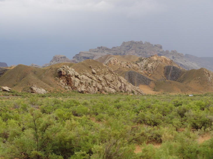
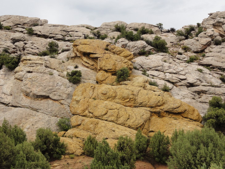
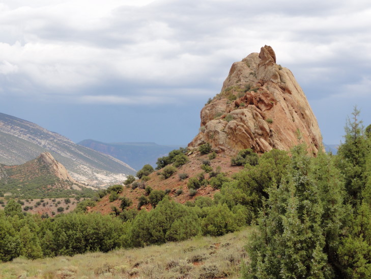
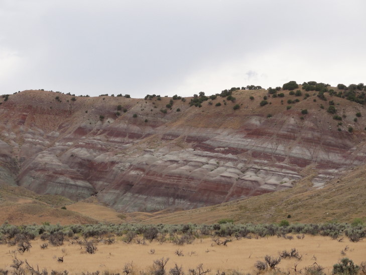
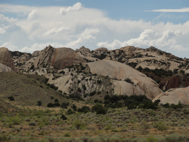
Once the rain had (mostly) let up we set out on the “Tilted Rocks” car tour, an eleven mile drive entirely in Utah (Utah shares the National Monument with Colorado). We were immediately struck by the distinct layers of rock and their colors: red, gray, yellow. These layers were laid down during different eras spanning millions of years. The layer of gray was a marine layer from back when a shallow sea covered the area. Rather than laying flat the layers had been thrust upward by uplifting and such.
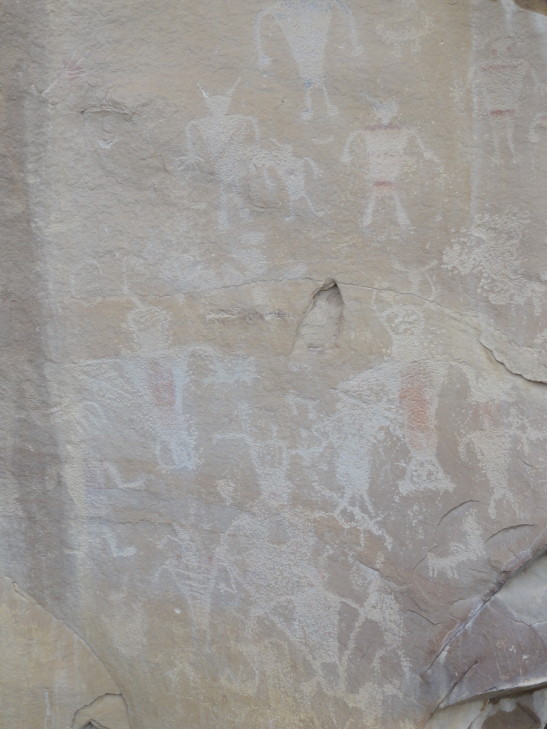
One of the first stops was called “Swelter Shelter” because when it was excavated in the 70s it was during the summer and blazing hot. This area of overhanging rock had been a shelter for thousands of years (perhaps back 10,000 years) for humans hunting native species of the time. It was in use even up until 700 – 1300 AD when the Fremont culture put petroglyphs and pictographs on the rock. It was quite amazing to see rock art drawn nearly a millennium ago, the kids in particular seemed to enjoy it and kept finding interesting figures.
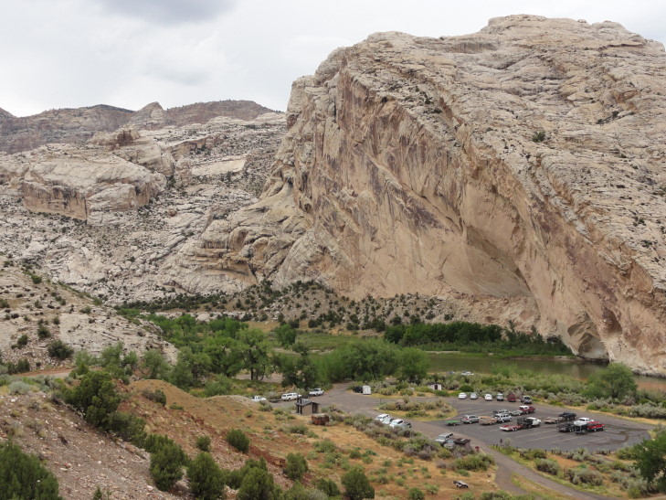
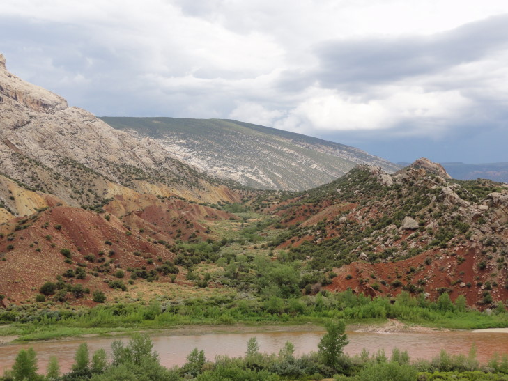
We then proceeded to Split Mountain, a mountain with quite a mystery — the Green River actually cut a course through its tough rock rather than around it. Water is a beautiful thing in that it is 100% predictable — it will always do the laziest, easiest thing. So why, in this case, did it cut though tough rock rather than flow around it? Speculation is that there was originally softer rock above what is today Split Mountain that the Green River established a river channel through. When it hit the Split Mountain’s current hard rock, or more likely, Split Mountain was thrust upward towards the river, it was too established in its bank and it was actually easier to cut through Split Mountain than chart another course.
At the entrance to the canyon cut through Split Mountain was a campground. I felt a bit nervous for those folk as the normally tame Green River was swelling and red with the recent runoff. After learning a bit about the ranch that the tour passes through but isn’t part of the National Monument we decided to turn around — the road became unpaved and with it having just rained we were concerned about the conditions.
Checked in to our hotel and immediately set out for dinner. We at Quarry Steakhouse and Brewery. It was a bit pricey for the quality but we were hungry. Just as we were about to pay another storm hit with torrential rainfall and frequent lightning. It knocked out power and they couldn’t run credit cards so we had to pay with cash. The ride home wasn’t that fun as many people apparently didn’t realize that stop lights become four way stops in the event of power failure. Watched a new episode of Psych, went swimming, then bed.
