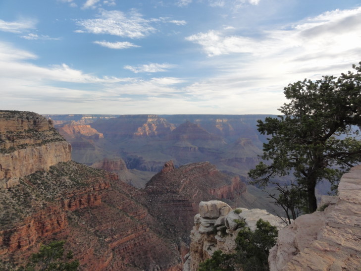
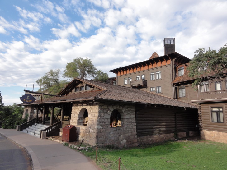
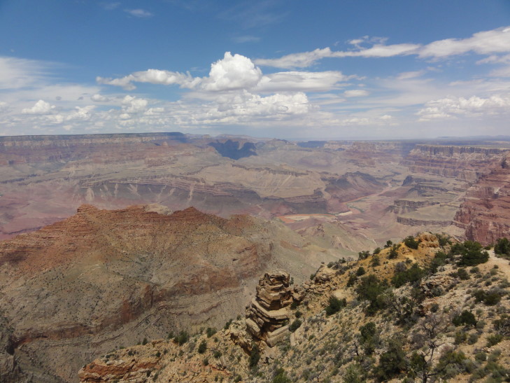
Michelle woke me up shortly after 6a so that we could go watch the dawn over the Grand Canyon. I’d love to be able to say that we were out before dawn and walked miles to the best spot to see the dawn but we didn’t — we got out shortly after dawn and camped out in front of El Tovar. Though I prefer sunset more, I think, the dawn was still spectacular. It was amazing how minute to minute the light changed the way the canyon looked. After about thirty minutes or so we went back to our rooms.
A bit later we woke the kids and headed to breakfast at the Bright Angel Lodge. It was not bad at all, and reasonably (for Grand Canyon Village, at least) priced. Afterwards we checked out the some of the history of the lodge including a fireplace with stones retrieved from the different layers of the canyon and stacked up in the same order, so that the bottom of the fireplace were the oldest rocks (about two billion years old) and the top was the most recent type of rock. We also learned about the architect of many of the distinctive buildings in the park, Mary Jane Colter. She designed the Hopi House, The Lookout, Hermit’s Rest, and the Desert View Watchtower (more on that below) for the Fred Harvey company.
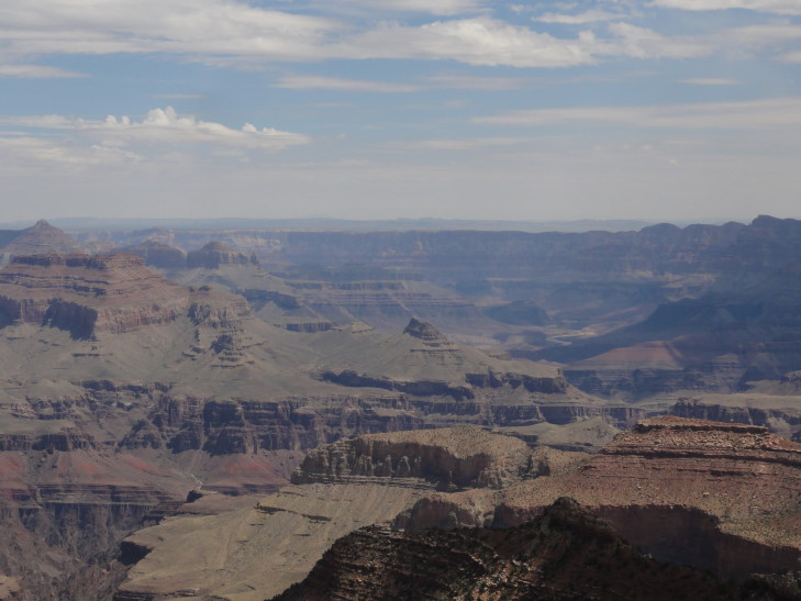
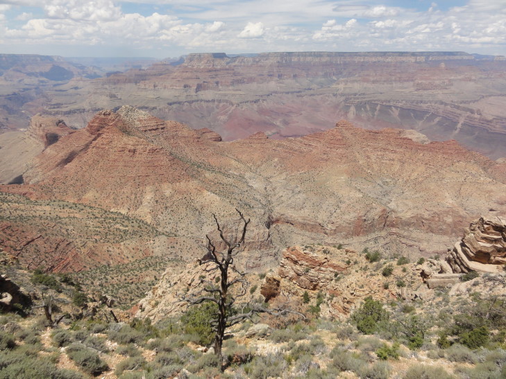
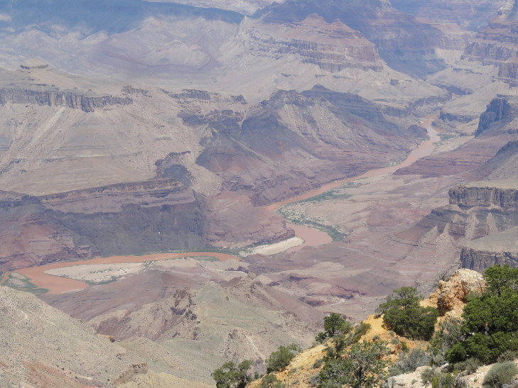
Headed back to the room and checked-out, heading toward the east entrance of the park. We stopped at a few viewpoints, like Grandview, but they were already quite crowded. At the very eastern part of the park is a seventy foot tall stone (with steel innards) tower built in the early 1900s and commanding an amazing view of the canyon, including a great view of the Colorado far below. There was also a marker describing the tragic crash of two passenger planes in 1956 that killed all 128 people — and was catalyst for the founding of the FAA.
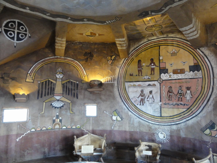
Addison and I climbed up to the top of the tower while the ladies remained below in a gift shop. The steps were a bit narrow but overall not too bad. The inside of the tower consisted of a few floors, each of which had walls painted with Indian motifs. Very cool. After climbing down we went to the snack bar for a quick lunch, I had a turkey and American cheese sandwich and a banana. Yummy.
Hopped back into the car and left the park. By this time an impressive thunderstorm had brewed up with lots of cloud-to-ground lightning. We stopped at a scenic view just outside of the park near the spectacular (and very narrow, in contrast to the main canyon) gorge formed by the Little Colorado River to check out the storm. As it started to rain (for those keeping score at home, that is 12 of 15 days of rain so far), we decided it best to hop back in the car and start driving the loop road that wound through Wupatki National Monument and Sunset Crater National Monument.
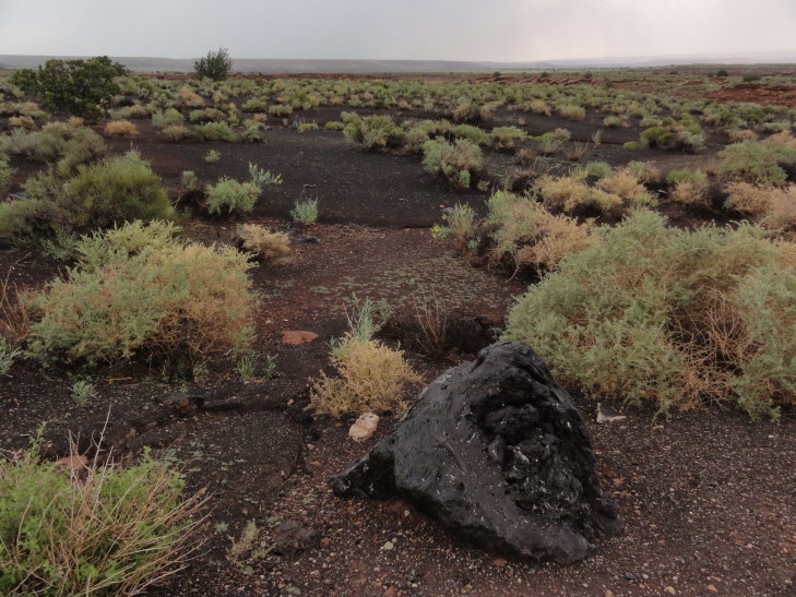
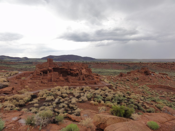
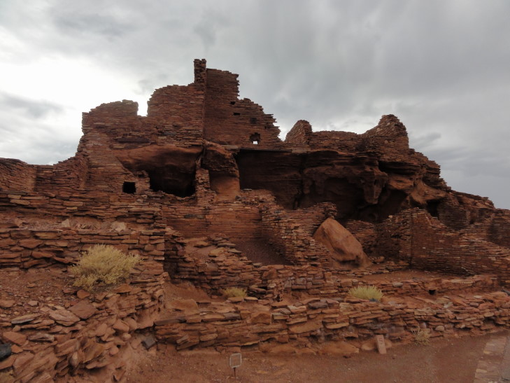
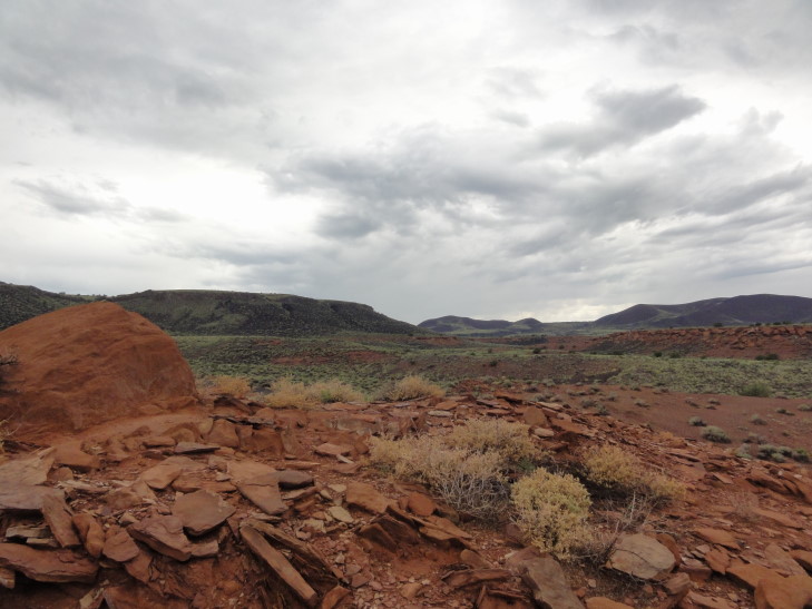
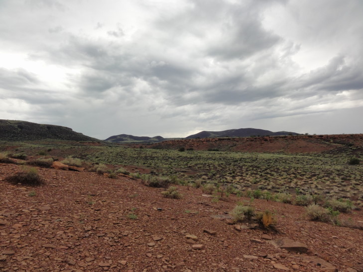
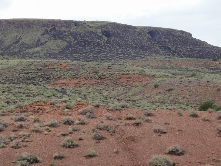
In 1085 or so there was an eruption that formed several cones, including Sunset Crater. The material spewed from the eruptions provided fertile soil for farming, leading to several Indian groups moving to the area and staying the 150 years before the soil was depleted. They built several pueblos in an area now encompassed by Wupatki National Monument. The whole area is beautiful, probably helped by the rain — yellow, orange, and violet flowers contrasting with dark black soil (from the eruptions) and red rocks scattered about. First we saw The Citadel, a pueblo built on top of a small hill. As it was raining at quite a clip we didn’t get out and explore. A few more miles down the road we came upon the visitor’s center. Luckily the rain had let up so we were able to take the half mile trail around Wupatki Pueblo.
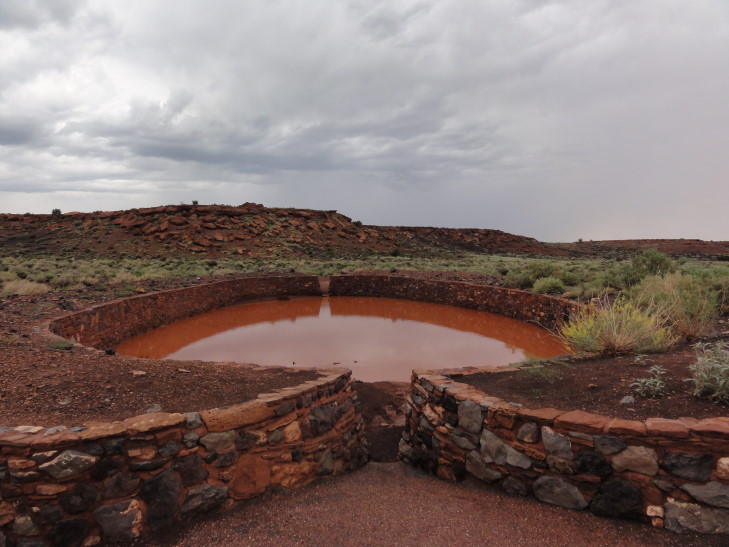
The pueblo itself had over a hundred rooms. The ruins had been partially restored in the early 1900s and even used for the Ranger’s living quarters and monument office at the time. That is a pretty common story, the same thing happened at Mesa Verde. The approach of the National Park Service is quite different today — never reconstruct or rebuild. Past the main group of rooms and down the hill there was a ceremonial building — but not a kiva as it was above ground and there was no evidence of a roof. Further downhill was a ball court, the furthest north example. As there had been a lot of rain recently it was filled with water. Right next to the ball court was a “blow hole”, a natural phenomena that occurs when a narrow shaft drops into a cavern. Depending on the air pressure the hole will either blow or suck — today it was blowing and I was amazed at the air it put out. It was probably as good as a modern AC unit!
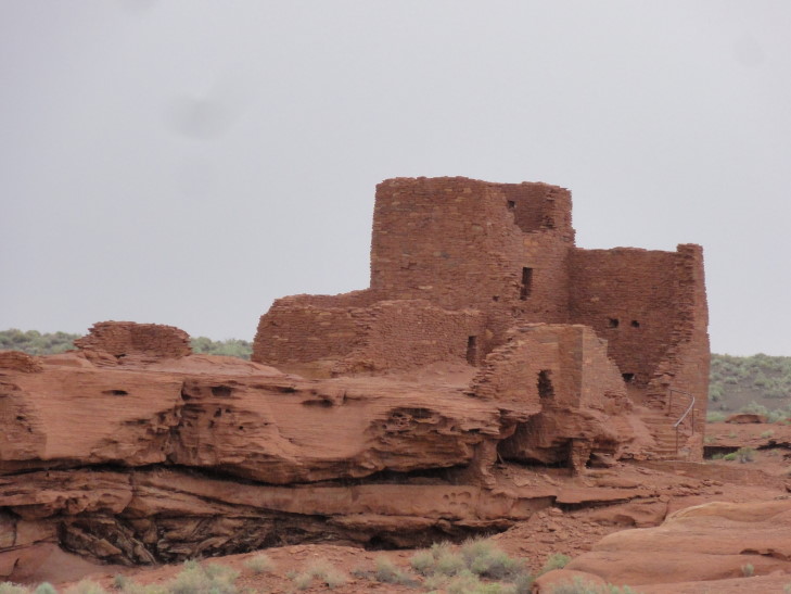
The rain started up again so we got in the car and drove to the next pueblo, Wukoki, also perched on a hillside like The Citadel. As it was raining we only took a few pictures from the parking lot and headed on out to Sunset Crater National Monument. Sunset Crater is not hikeable but still is impressive — its colors range from black through reds to tan. Two large lava flows occurred, leading to whole areas of missing forest occupied by sharp, jagged black rocks. The rain continued and it was getting late so we didn’t stop.
Returned to Flagstaff via route 89 then hit I-40 to Kingman, about 120 miles away. Along the way we got some gas — $4.19/gallon. Really?!? Interesting change in terrain from forested hills at 6000 feet or so (and temperatures around 65F) to scrub and jagged rocky hills at 2000 feet (and temperatures nearing 100F). Checked in to the hotel and got a recommendation for a nearby Mexican and Seafood (ruh-roh, danger!) restaurant. It was actually quite good, I had a taco and two cheese enchiladas. Returned to the hotel, cleaned out the car, re-packed in preparation for our flight on Tuesday, and blogged.

