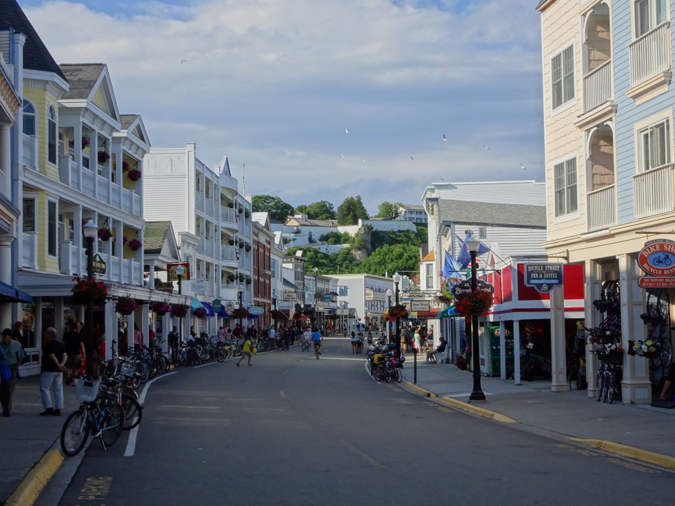
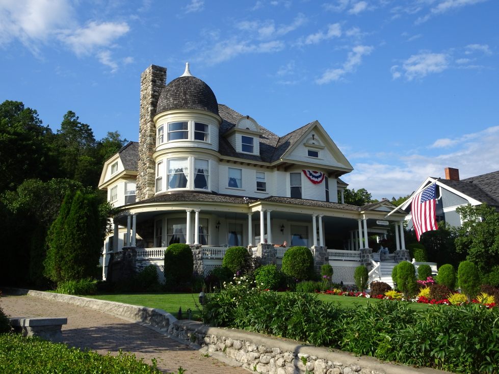
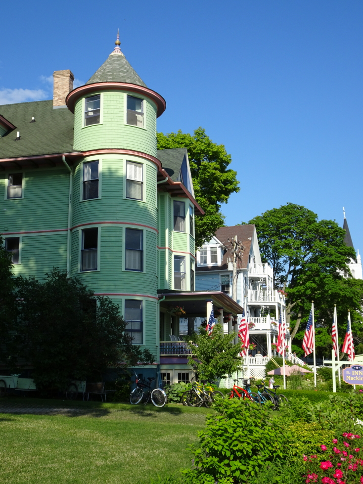
As we do on vacation, we woke up pretty early. All but Addison headed down for the included continental breakfast. It was OK, decent cheese bread and coffee. At 10a we checked out of our room. As the ferry wasn’t until 2p we had time to explore. The ladies went shopping while Addison and I climbed up the hill (via steep steps then along paved carriage roads past some nice homes perched above the bustle of Main Street) to Arch Rock. Along the way we saw a horse-drawn cart collecting garbage. I guess if you wanted mechanized service you’d have to light it on fire!
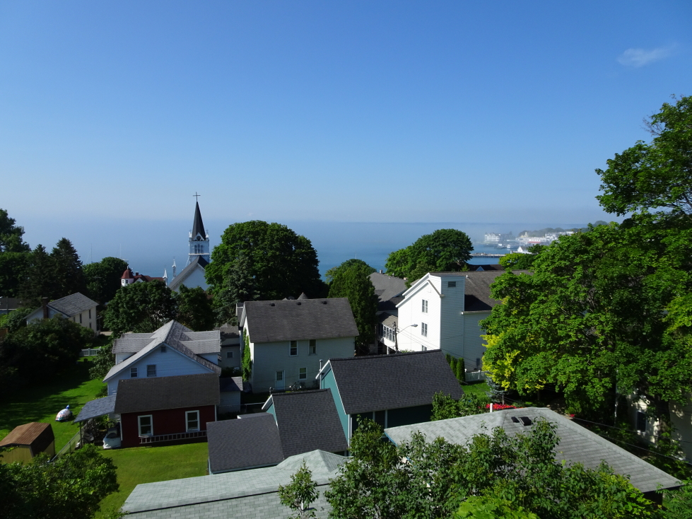
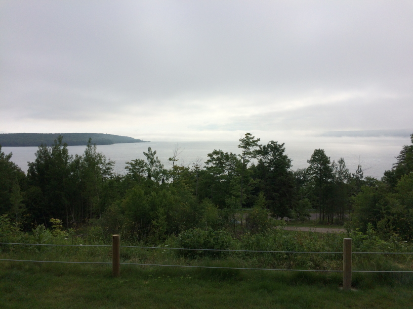
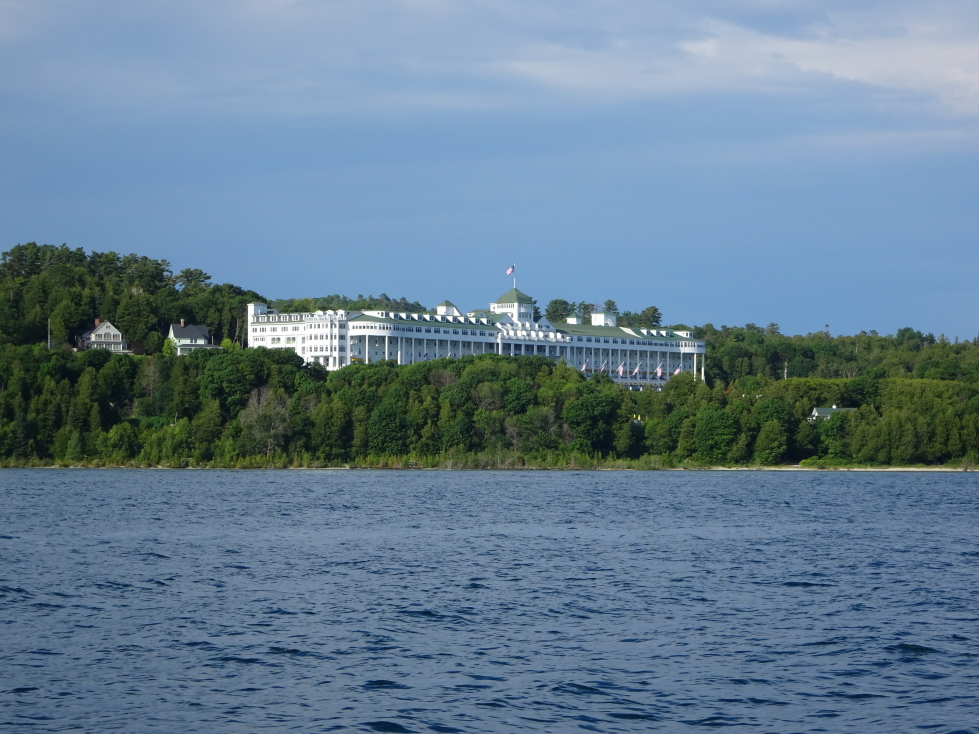
View of Mackinac Island’s village from a nearby hill
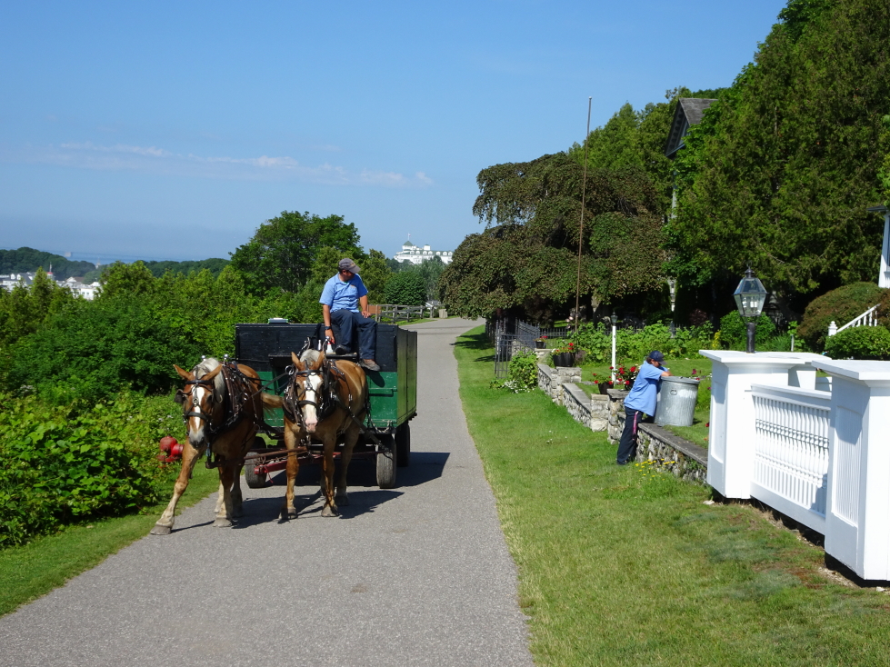
A garbage… truck?
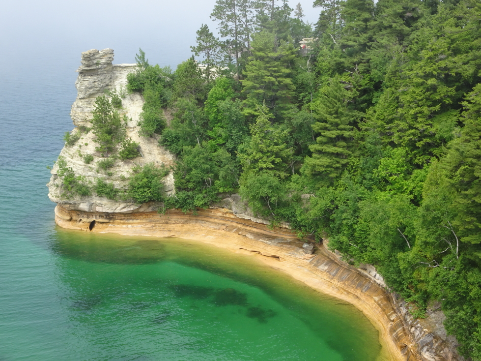
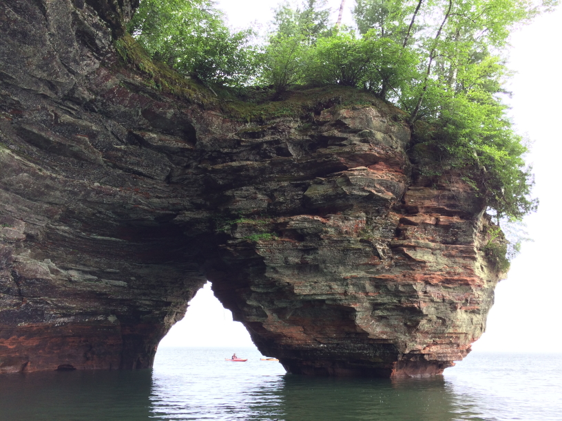
Arch Rock was quite busy with multiple tour “buses” pulled by teams of three large horses stopping every few minutes. We encountered a rude family, a deaf tour group, and even some Shakers (or Quakers). Despite the crowds it was worth a visit, not only for the pretty walk and the peaceful woods but for the arch itself with the spectacular blue green water beneath.
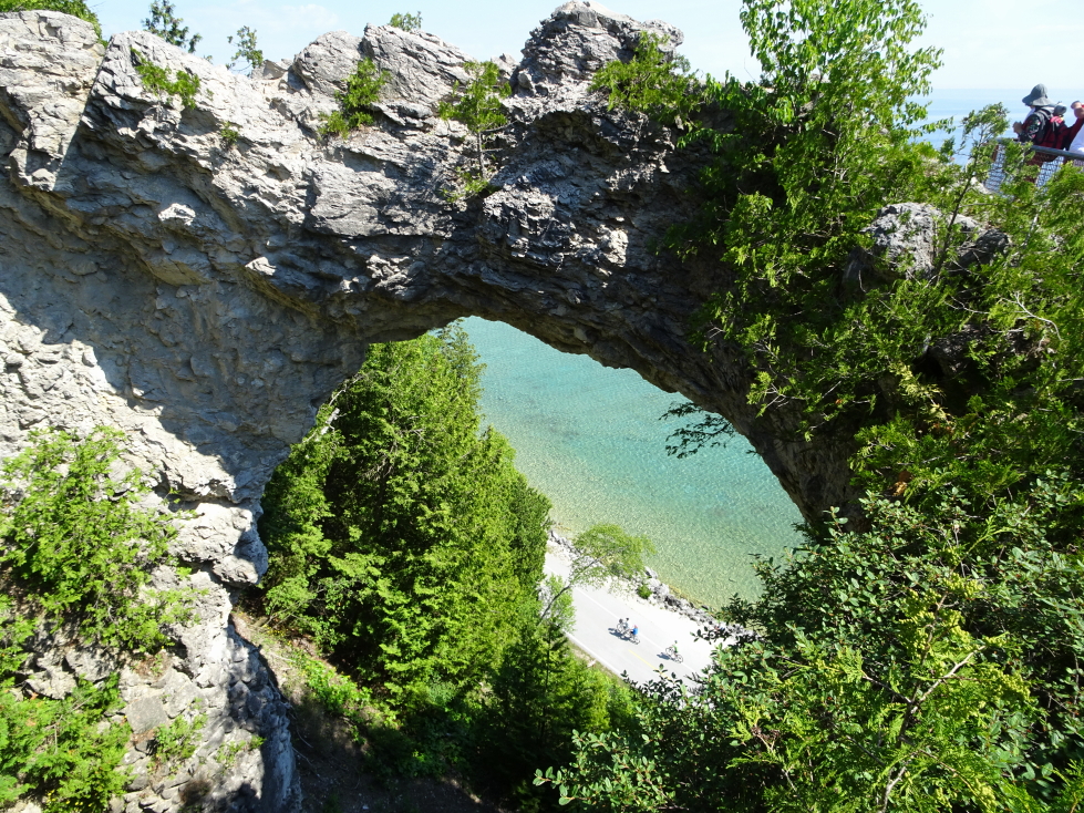
Looking through Arch Rock at cyclists on the beach below
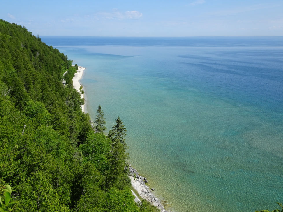
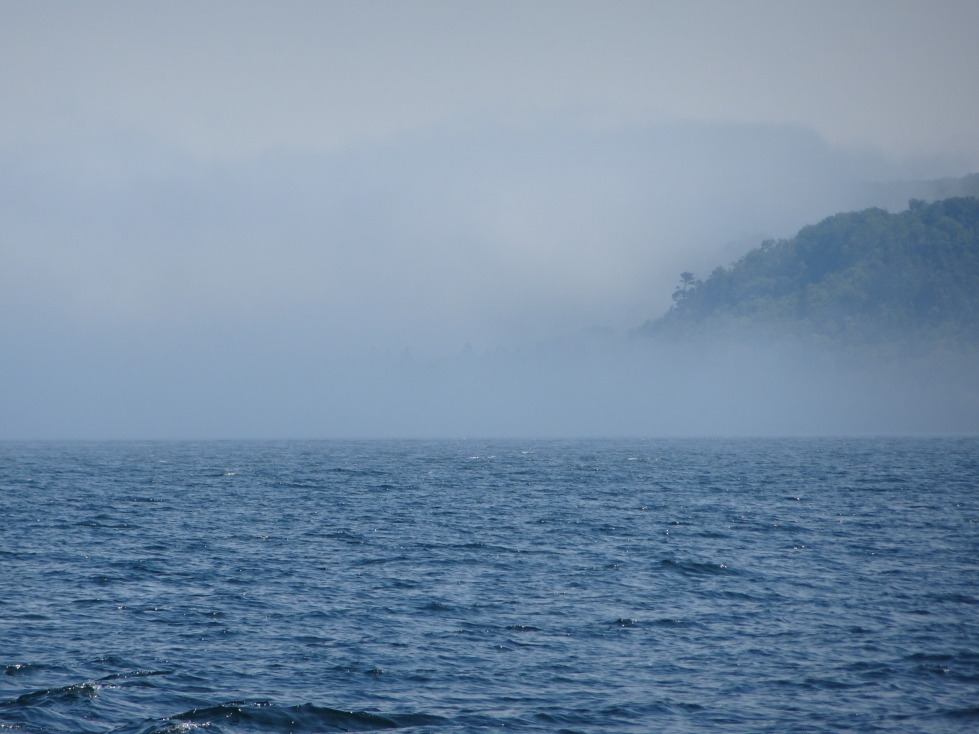
I was shocked at how clear the waters of Lake Huron were

Another look at Arch Rock
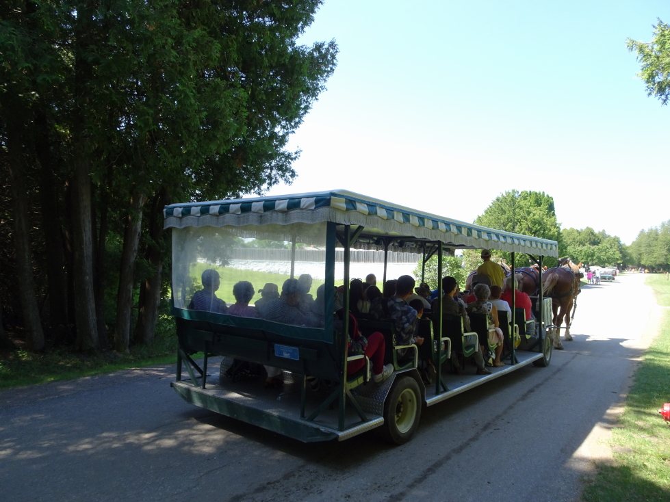
Tour “buses” drawn by teams of three horses
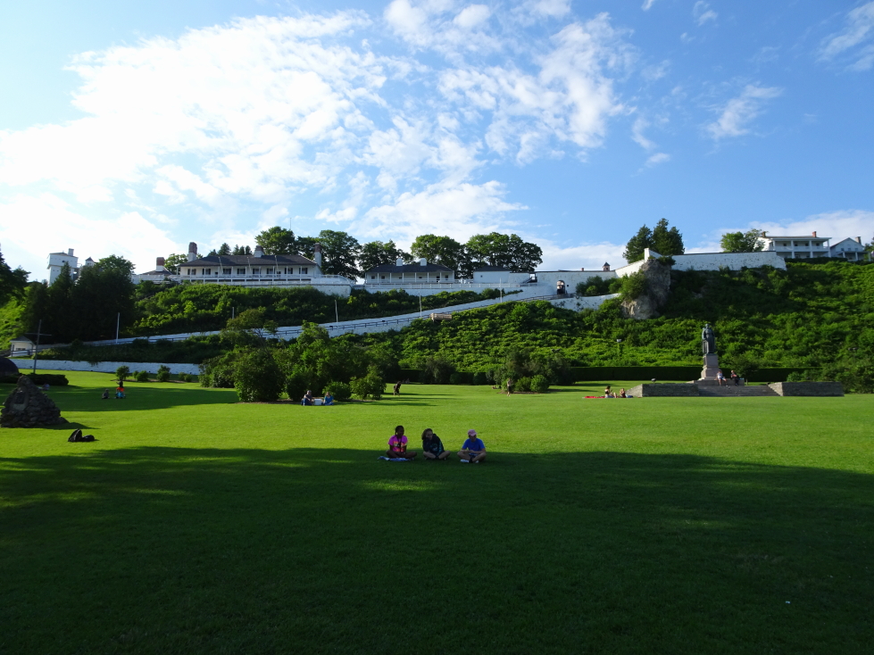
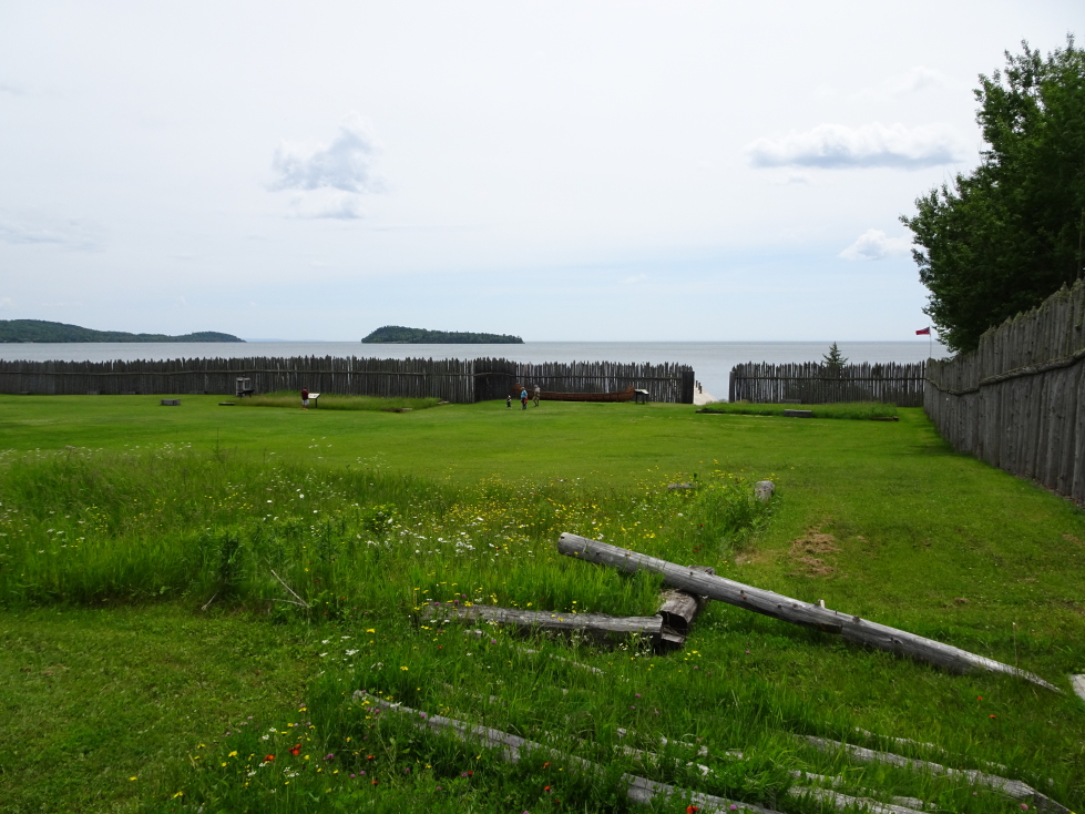
We then walked along a bike path to Fort Mackinac. As we were short on time we didn’t pay to go in but rather took pictures of the distant bridge and enjoyed the lawn of the Captain’s house. We also saw a “pill box”, a tower with a canon sticking out of a window attached to the fort.
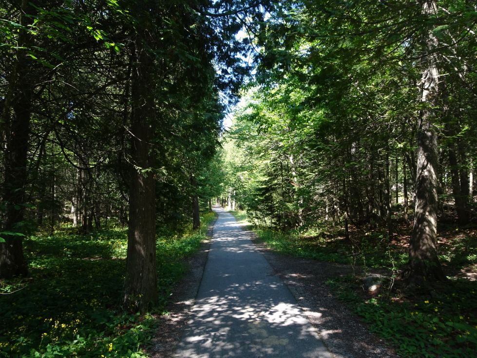
Bicycle path on Mackinac Island
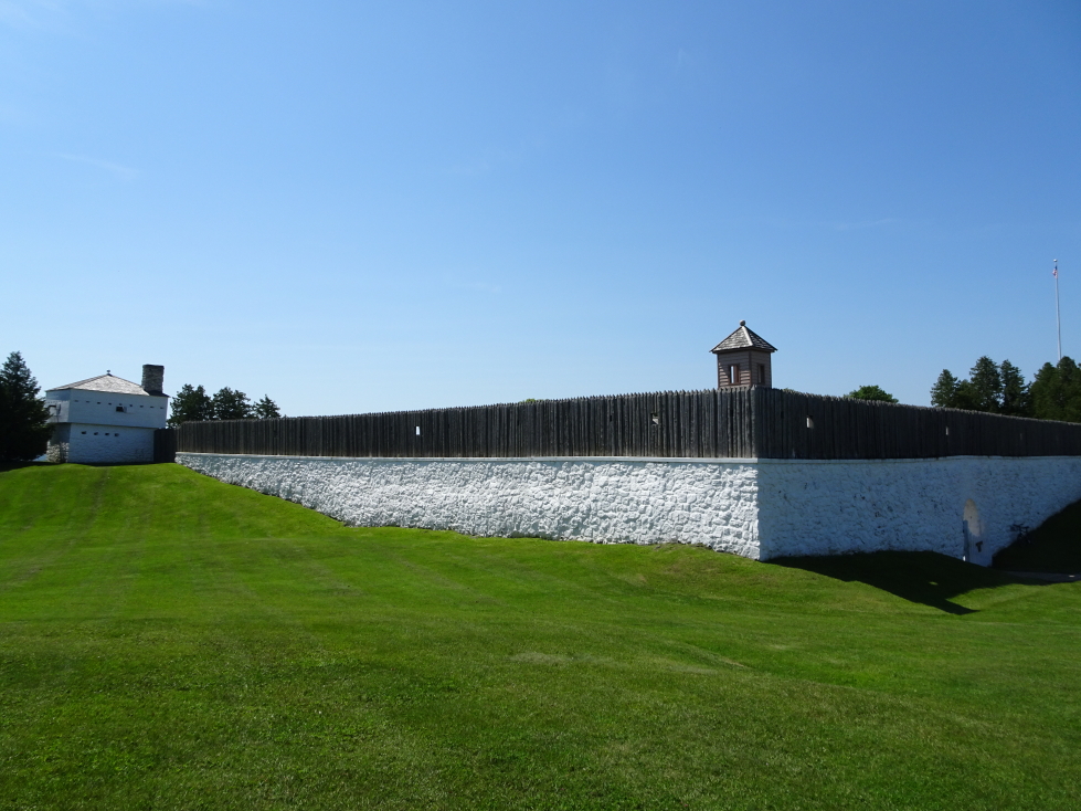
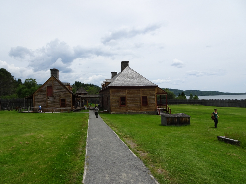
Fort Mackinac, built in 1781 by the British
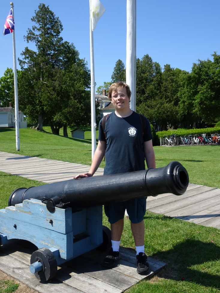
Addison next to one of the fort’s cannon
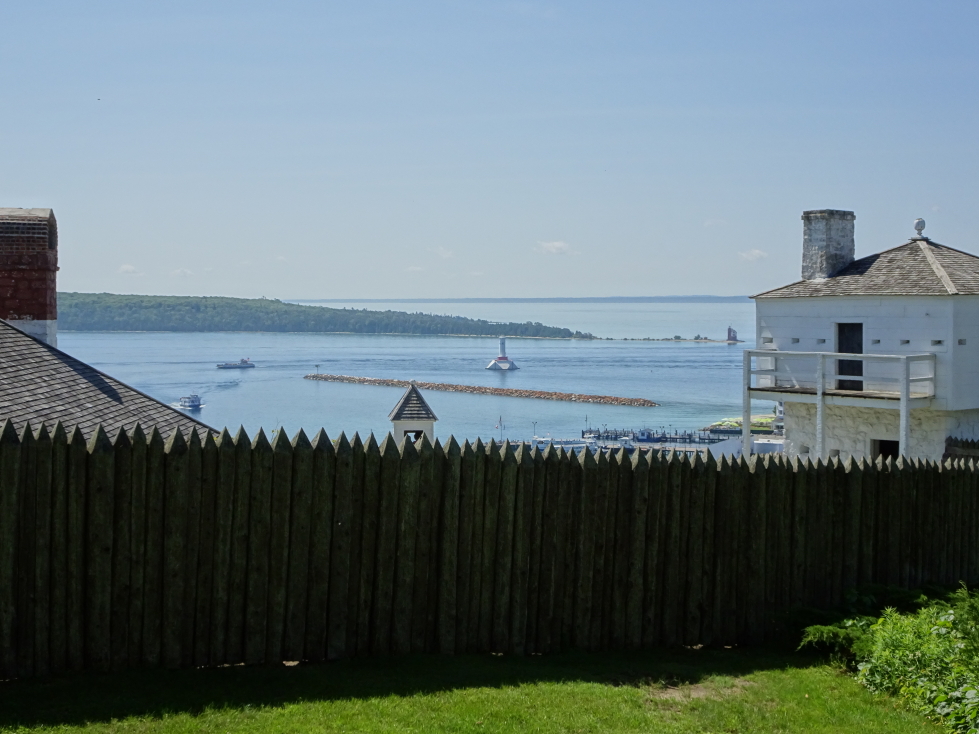
View of Mackinac harbor beyond the fort’s palisade
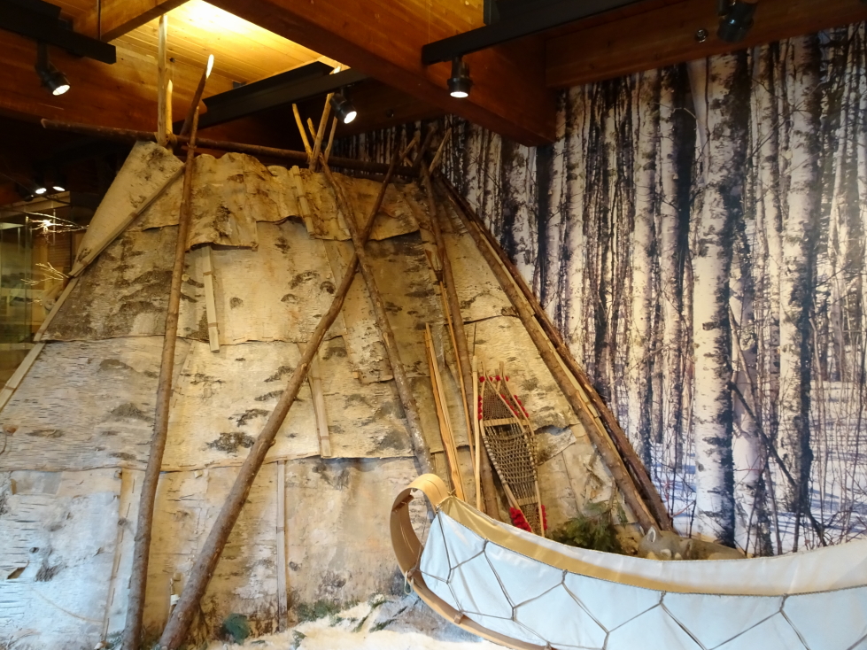
We then walked down the hill via a ramp into town, passing a bark missionary church like what Jacques Marquette used in the late 1600s. We also saw a Fur Company store that was run by this fellow that got accidentally shot but survived with a hole that looked into his stomach. For decades after he used it to record digestion times, gastric acid amounts, etc. Ick!
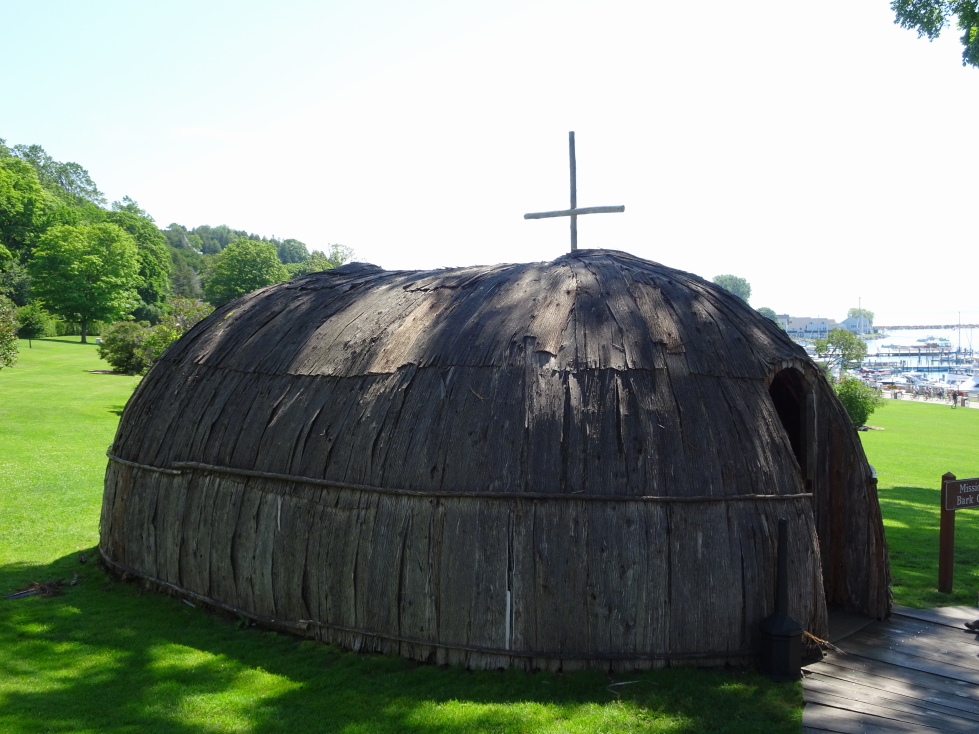
Reconstruction of a missionary church built from bark like those from the late 1600s
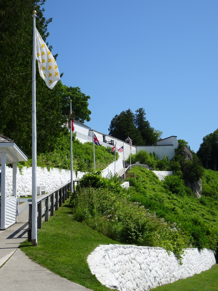
Ramp from Fort Mackinac back to town
Shortly thereafter we met the ladies for lunch. We rejected Island Slice Pizza and Mighty Mac Hamburgers because they were too crowded and ended up at Huron Street Pub & Grill. It ended up being a fantastic choice — fast service and great food. We had an appetizer of onion rings then Michelle had a burger, Addison had a Porky’s Burger with beef, brisket, pulled pork, cheddar and Swiss cheese, and onion rings (!), I had a beef brisket sandwich with fried onion straws and cheese with fries. I can’t recall what Genetta had, sorry. Afterwards the kids went through a haunted house attraction. Addison smartly kept Genetta in front but the denizens tricked him and scared him from behind, greatly spooking him!
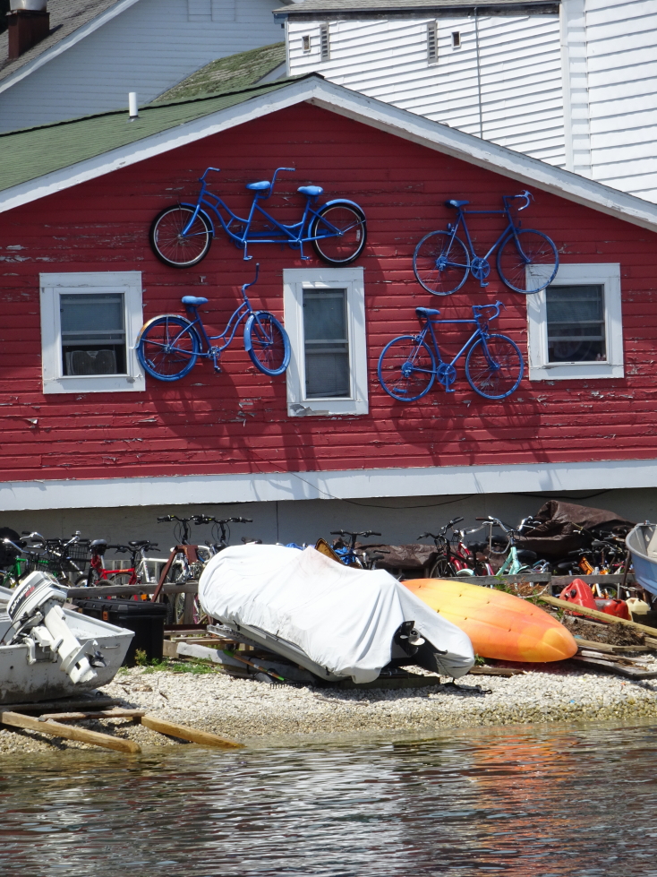
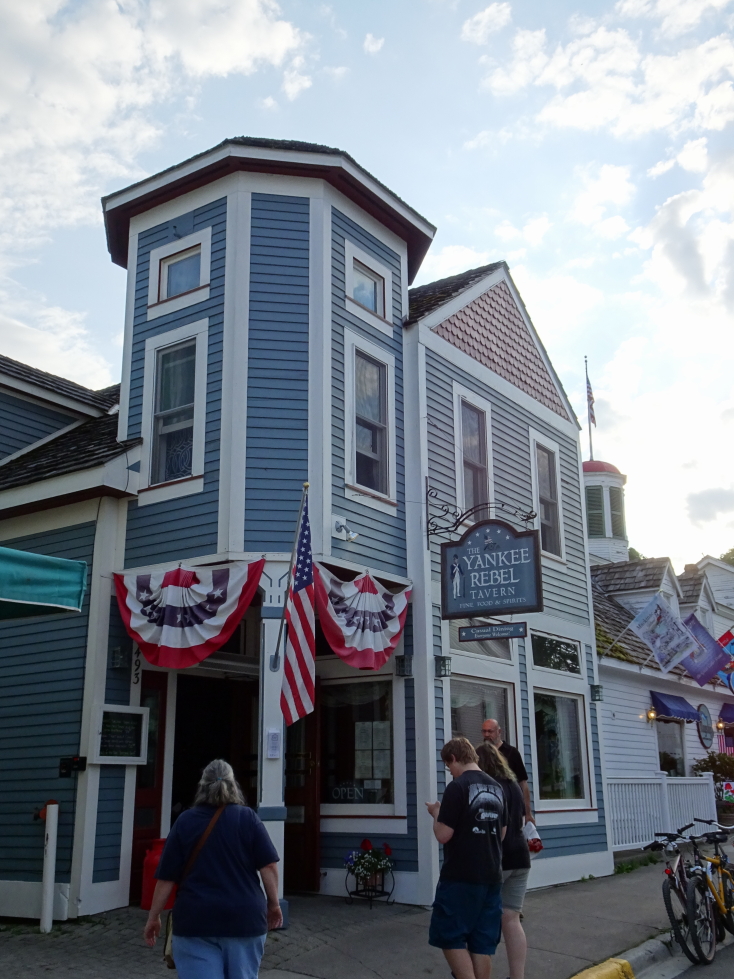
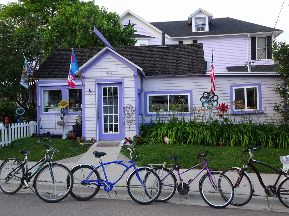
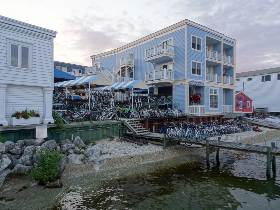
Neat building using bikes as exterior decor
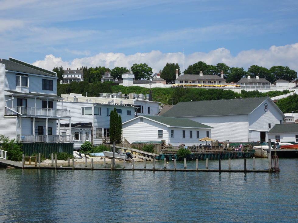
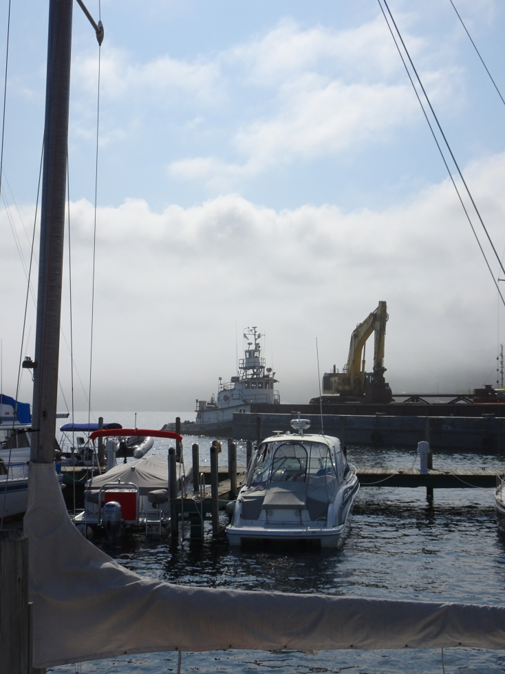
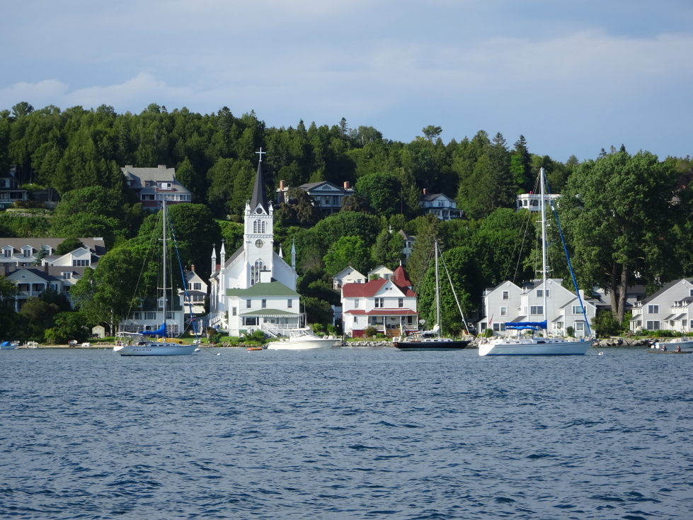
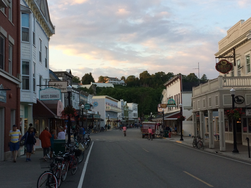
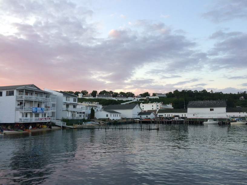
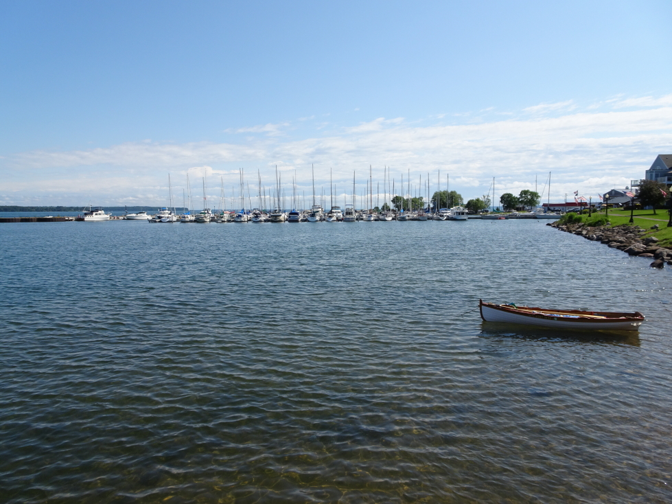
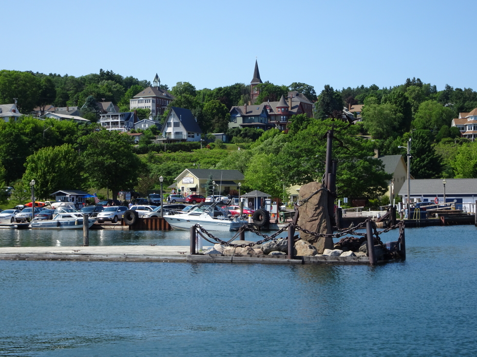
Mackinac Island’s waterfront
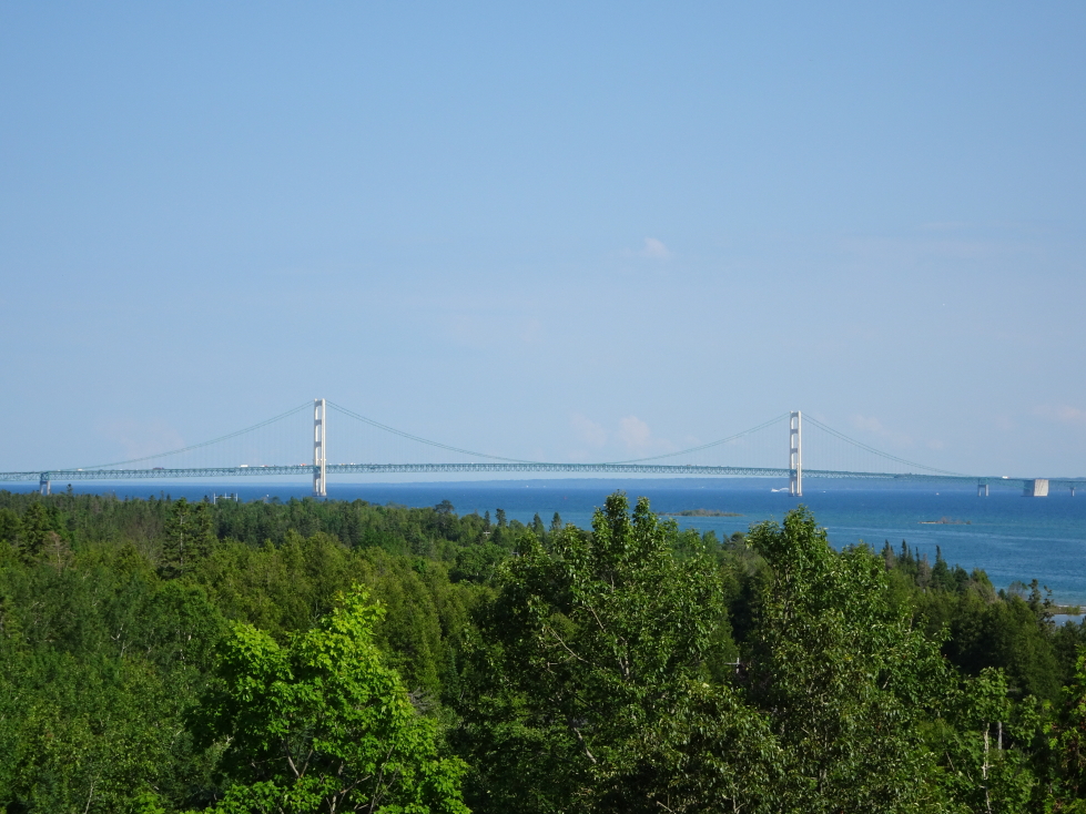
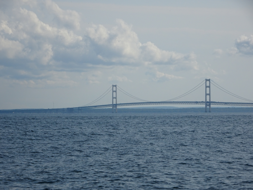
We changed the ferry to 1:30p from 2p so we could get a start on our ride to Ohio. We were back on the mainland by 2p, went over the engineering marvel Mackinac Bridge, and traveled down I-75. We stopped by McDonald’s for some tea and got some snacks in the northern Lower Peninsula where we saw tubers floating down the Indian River. Just outside of Detroit we stopped for On the Border but it was a forty minute wait so we ate at Chili’s instead. Big mistake, it wasn’t great at all. We had the skillet queso appetizer, Michelle had chicken bites and salad, Genetta fried chicken tenders and fries and corn, Addison and I had steak nachos.
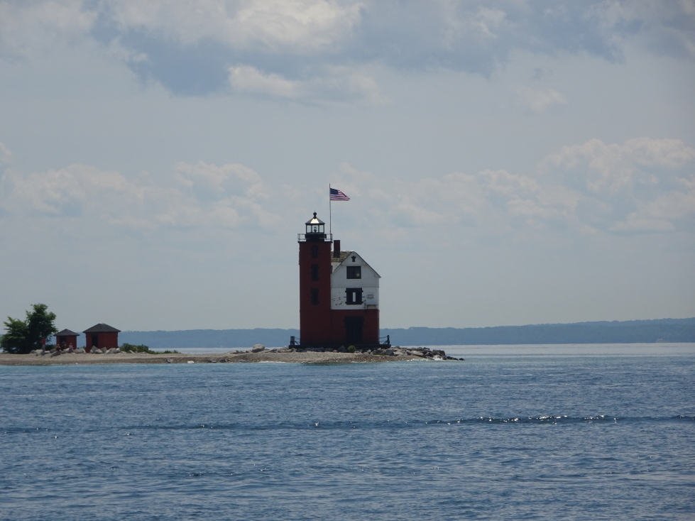
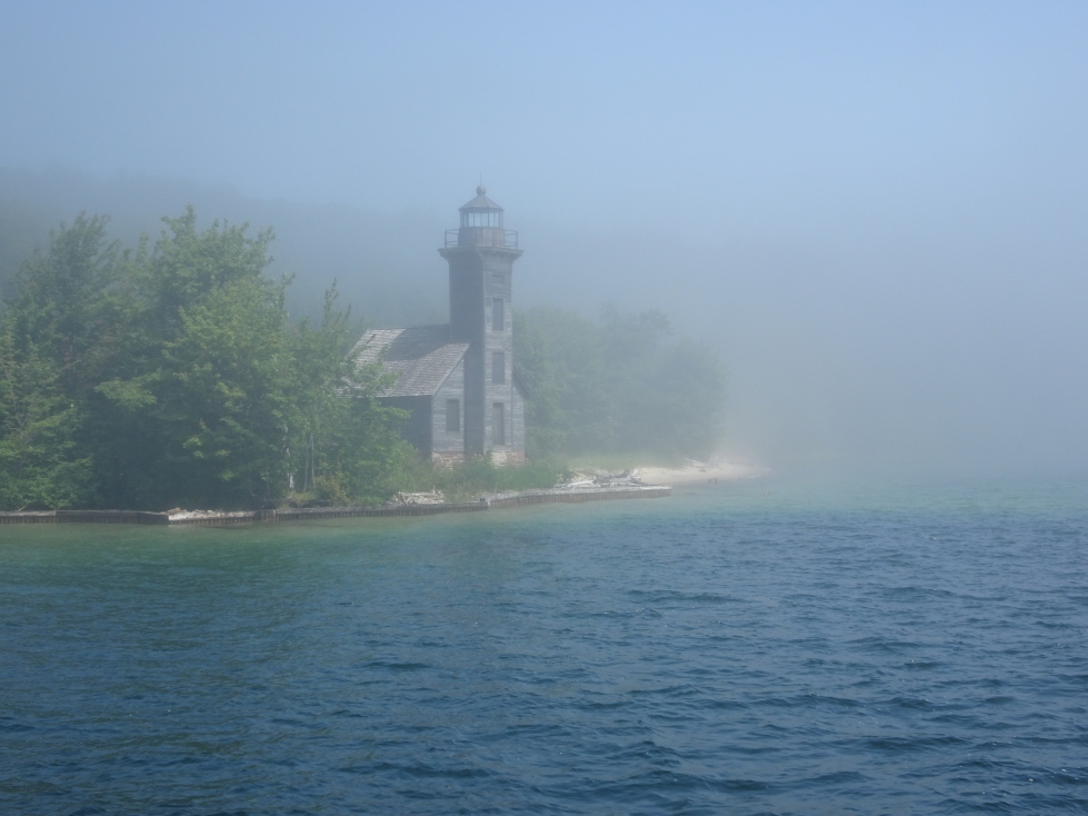
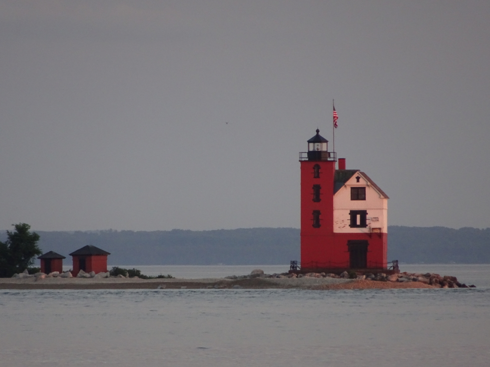
Round Island Light near Mackinac Island
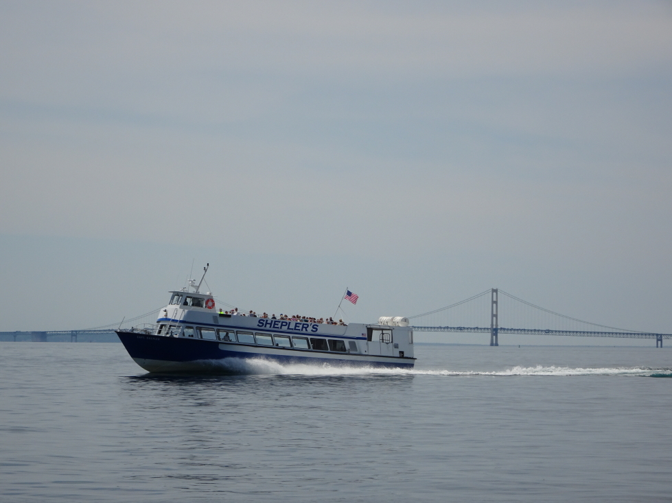
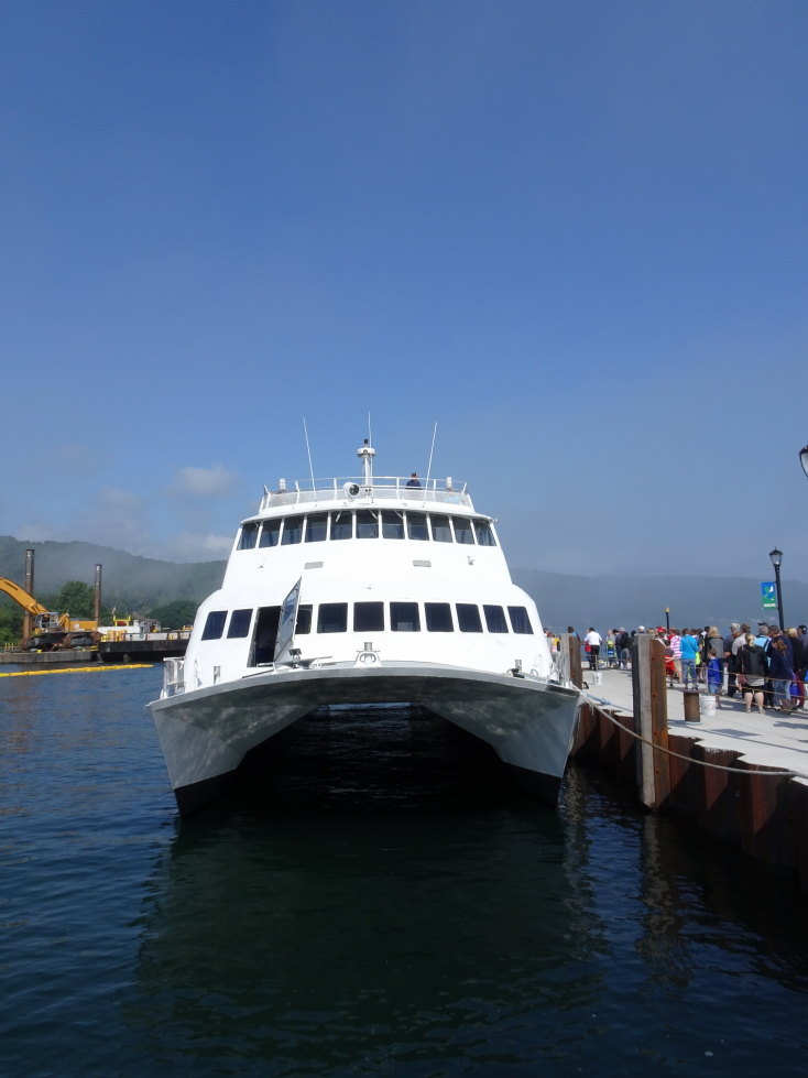
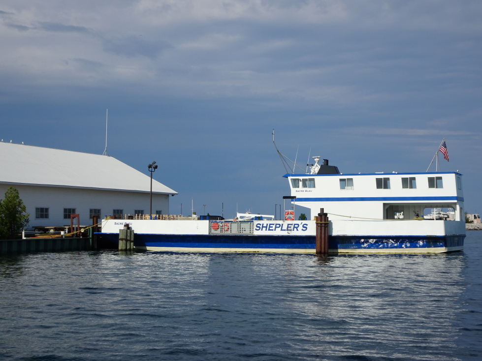
Sheplers Ferry cruising past Mackinac Bridge
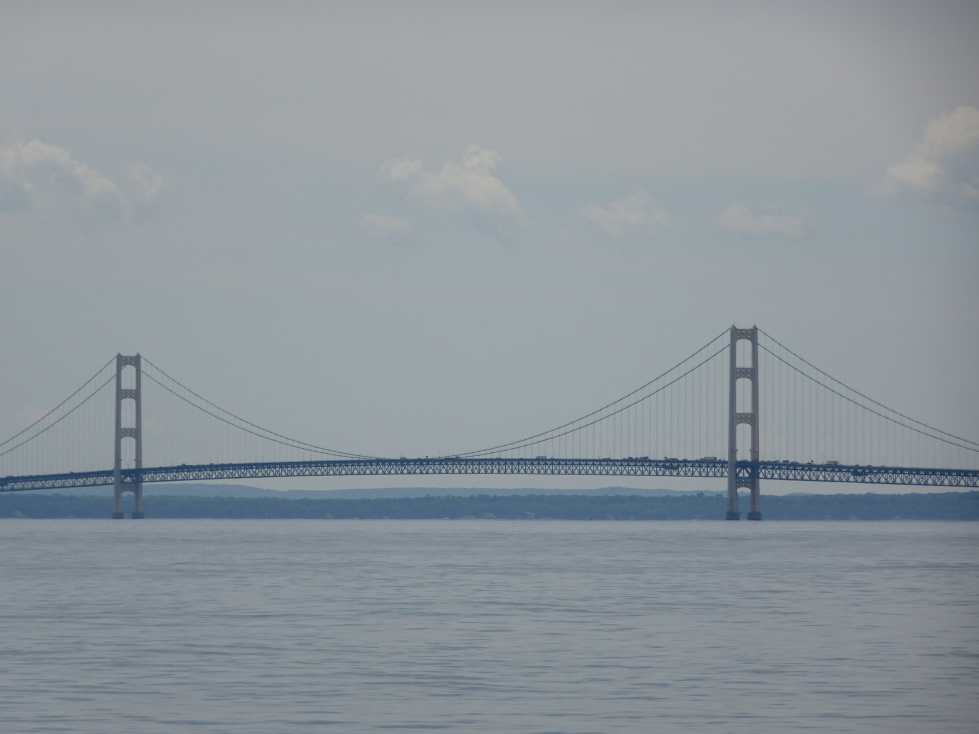
Mackinac Bridge
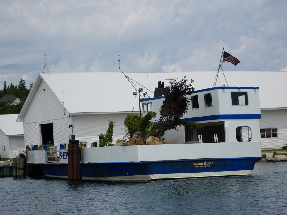
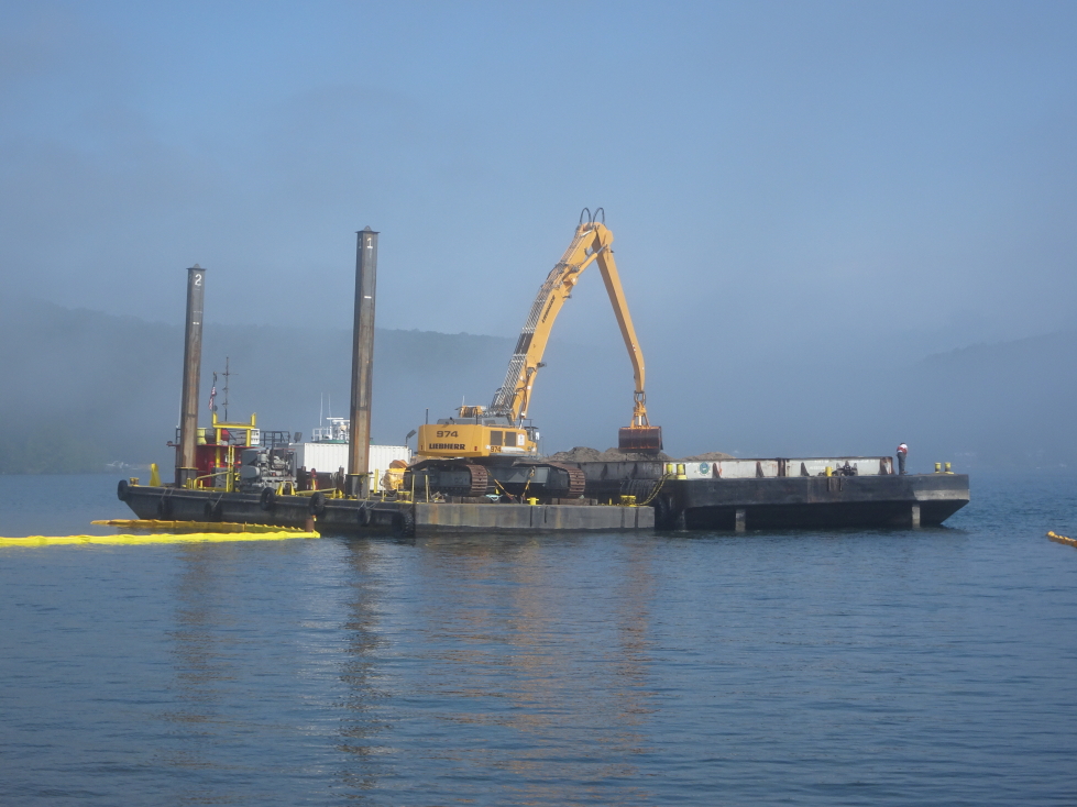
Most things are brought by ferry to the island, even these trees awaiting delivery
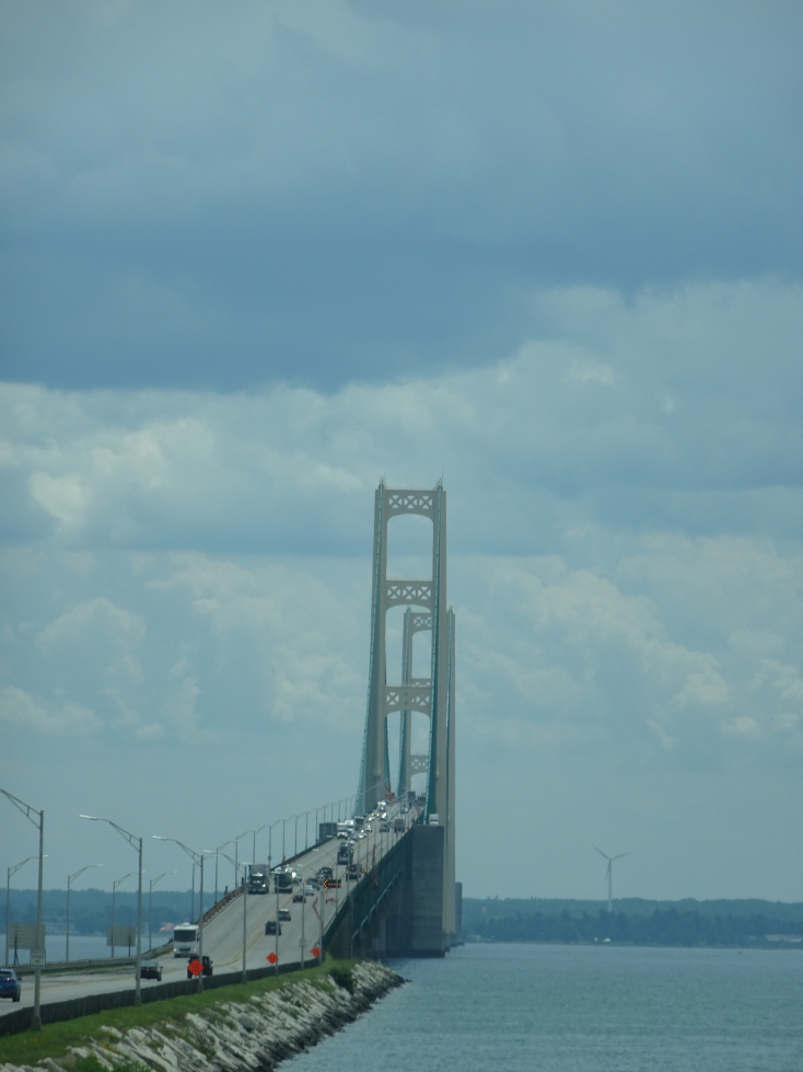
Approach to Mackinac Bridge from the UP
We arrived in Sandusky, Ohio just before 10p. I shaved and ordered our Cedar Point tickets then blogged and hit bed at 1a.

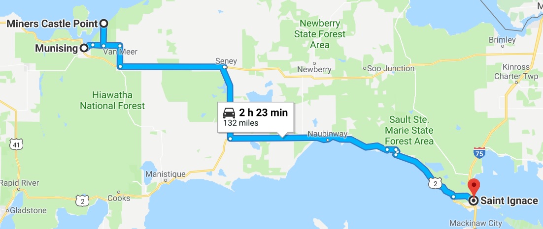
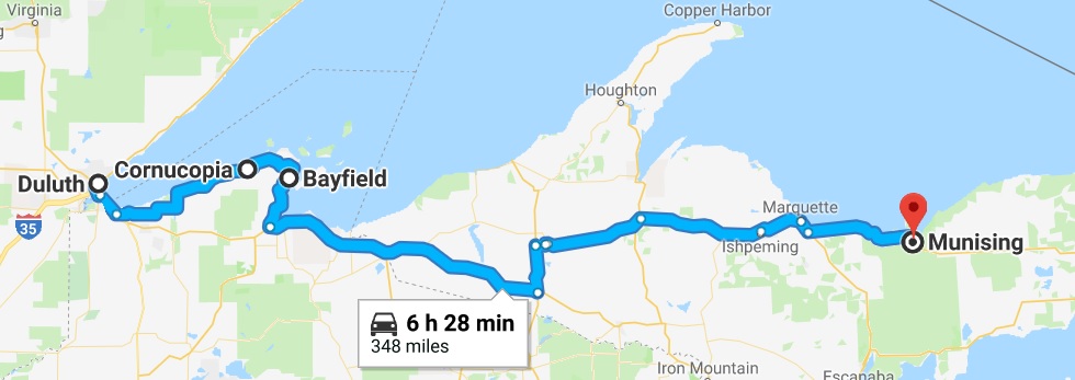
Route for Tuesday, July 11th, 2017